West Riddell Fox Covert

Wood, Forest in Roxburghshire

Scotland

West Riddell Fox Covert

Remains of the former Riddell House The gaunt remains of the house, a roofless ruin with substantial tree growth within. The house is on the site of an old peel tower which might date back to the 14th century. The house was extended and changed over the years but burnt down in 1943 to leave this shell standing. Further details can be found on the Canmore website at <span class="nowrap"><a title="https://canmore.org.uk/site/55483/riddell" rel="nofollow ugc noopener" href="https://canmore.org.uk/site/55483/riddell">Link</a><img style="margin-left:2px;" alt="External link" title="External link - shift click to open in new window" src="https://s1.geograph.org.uk/img/external.png" width="10" height="10"/></span>
Remains of the former Riddell House Credit: Jim Barton

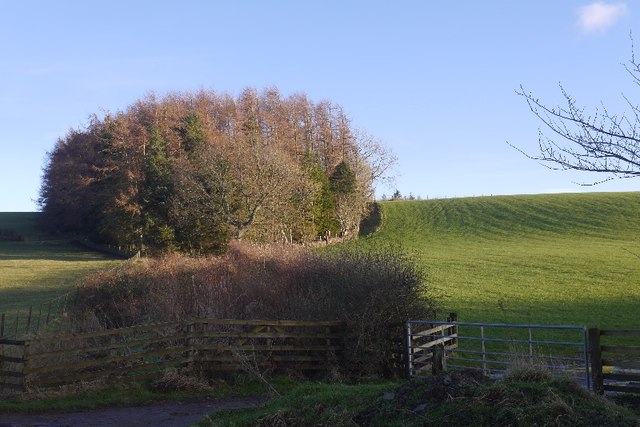
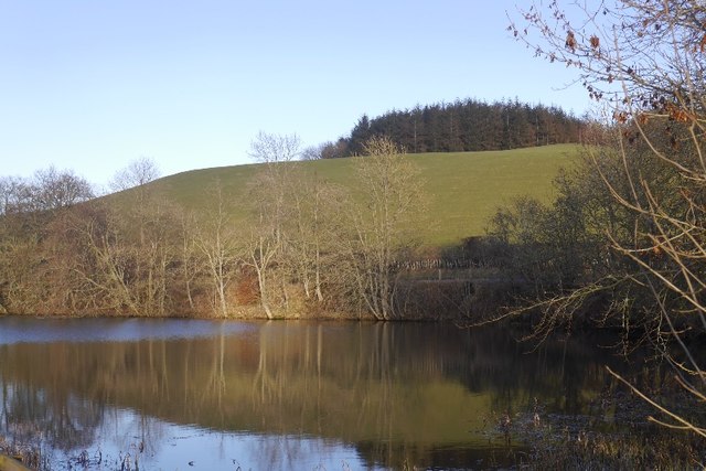
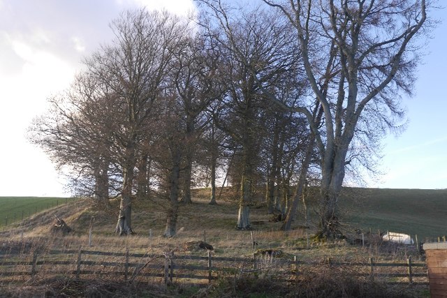
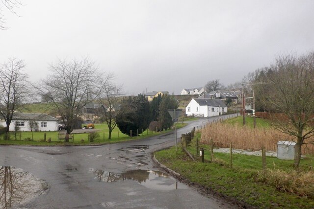
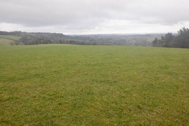
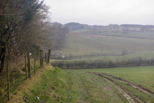
West Riddell Fox Covert is a wood or forest located in Roxburghshire, Scotland. Situated in the southern part of the country, it covers a vast area of land and is known for its natural beauty and rich biodiversity.

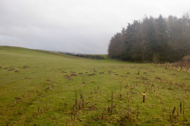
The woodland is primarily composed of various species of trees, including oak, beech, and birch, among others. These trees create a dense canopy, providing shade and shelter for numerous plant and animal species. The forest floor is covered in a thick layer of leaf litter, which serves as a habitat for small mammals, insects, and fungi.

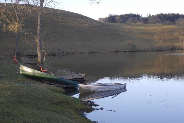
West Riddell Fox Covert is home to a diverse range of wildlife. It is known to support populations of red squirrels, badgers, and roe deer. Bird enthusiasts can also spot a variety of species, including woodpeckers, owls, and various songbirds. The forest's proximity to the River Teviot provides an additional habitat for water-loving animals, such as otters and water voles.

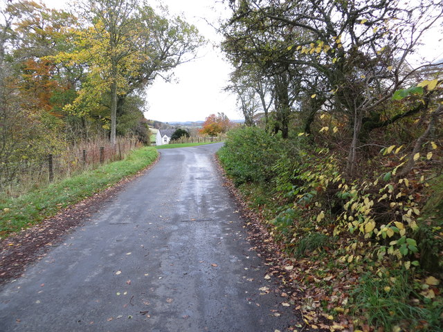
The woodland offers various recreational opportunities for visitors. There are well-maintained walking trails that allow visitors to explore the forest and admire its natural wonders. The peaceful atmosphere and picturesque surroundings make West Riddell Fox Covert an ideal location for nature enthusiasts, hikers, and photographers.

Efforts are being made to preserve and protect West Riddell Fox Covert's natural environment. Conservation groups are actively involved in managing the woodland, ensuring the survival of its diverse ecosystem for future generations to enjoy.

If you have any feedback on the listing, please let us know in the comments section below.

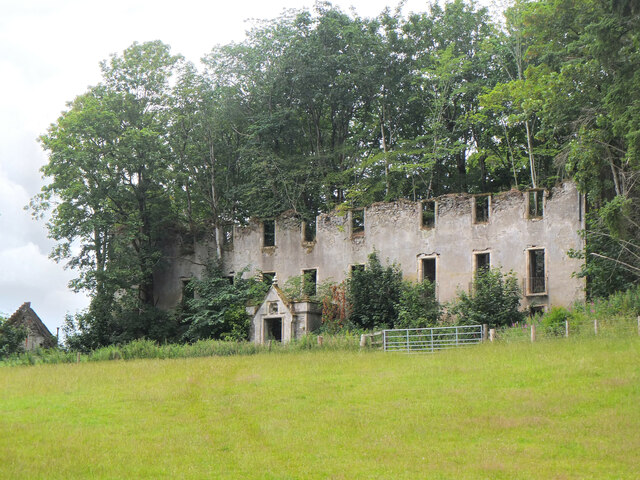
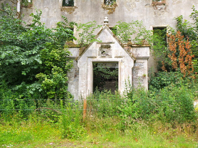
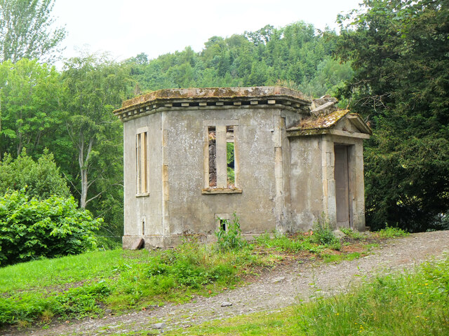
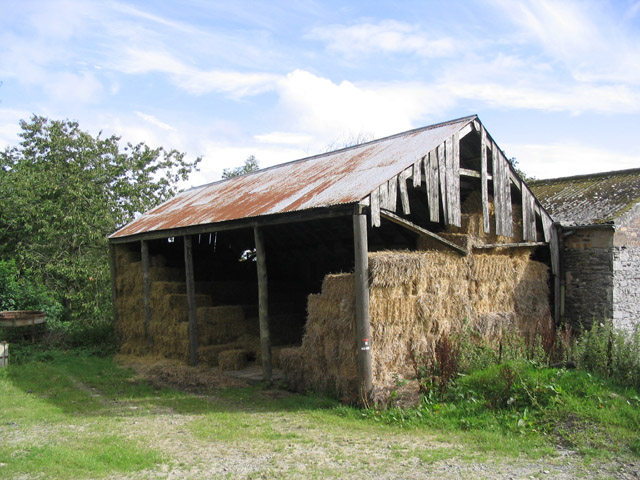
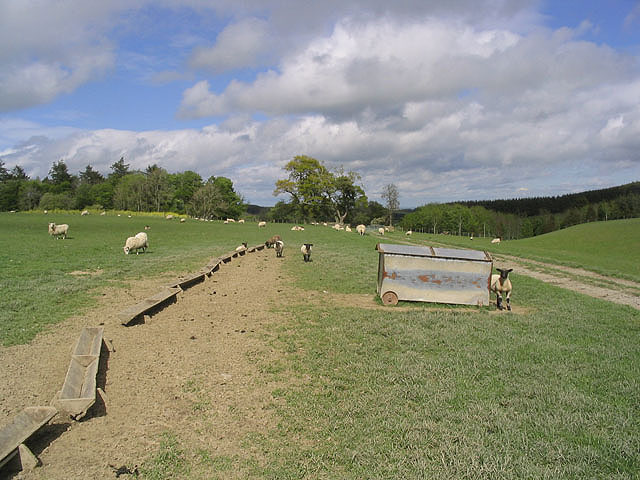
West Riddell Fox Covert Images

Images are sourced within 2km of 55.522253/-2.7924033 or Grid Reference NT5025. Thanks to Geograph Open Source API. All images are credited.

Remains of the former Riddell House The gaunt remains of the house, a roofless ruin with substantial tree growth within. The house is on the site of an old peel tower which might date back to the 14th century. The house was extended and changed over the years but burnt down in 1943 to leave this shell standing. Further details can be found on the Canmore website at <span class="nowrap"><a title="https://canmore.org.uk/site/55483/riddell" rel="nofollow ugc noopener" href="https://canmore.org.uk/site/55483/riddell">Link</a><img style="margin-left:2px;" alt="External link" title="External link - shift click to open in new window" src="https://s1.geograph.org.uk/img/external.png" width="10" height="10"/></span>
Remains of the former Riddell House
The gaunt remains of the house, a roofless ruin with substantial tree growth within. The house is on the site of an old peel tower which might date back to the 14th century. The house was extended and changed over the years but burnt down in 1943 to leave this shell standing. Further details can be found on the Canmore website at LinkExternal link
Doorway to the former Riddell House The doorway on the south side of the ruined house, destroyed by fire in 1943. It appears that a plaque or stone above the door has been removed. The ruin is of course fenced off as it is clearly in a potentially dangerous state.

For more details see the Canmore website at <span class="nowrap"><a title="https://canmore.org.uk/site/55483/riddell" rel="nofollow ugc noopener" href="https://canmore.org.uk/site/55483/riddell">Link</a><img style="margin-left:2px;" alt="External link" title="External link - shift click to open in new window" src="https://s1.geograph.org.uk/img/external.png" width="10" height="10"/></span>.
Doorway to the former Riddell House
The doorway on the south side of the ruined house, destroyed by fire in 1943. It appears that a plaque or stone above the door has been removed. The ruin is of course fenced off as it is clearly in a potentially dangerous state. For more details see the Canmore website at LinkExternal link.
Deer Larder, Riddell House According to the Canmore website at <span class="nowrap"><a title="https://canmore.org.uk/site/55483/riddell" rel="nofollow ugc noopener" href="https://canmore.org.uk/site/55483/riddell">Link</a><img style="margin-left:2px;" alt="External link" title="External link - shift click to open in new window" src="https://s1.geograph.org.uk/img/external.png" width="10" height="10"/></span> this outbuilding by the old Riddell House was a deer larder.
Deer Larder, Riddell House
According to the Canmore website at LinkExternal link this outbuilding by the old Riddell House was a deer larder.
Great Laws Plantation
Clerklands Loch A trout fishery near Selkirk.  The loch looks well established, but you will not find it on the 1:50,000 map.
Clerklands Loch
A trout fishery near Selkirk. The loch looks well established, but you will not find it on the 1:50,000 map.
North Cringles Strip A strip wood by Clerklands Loch.
North Cringles Strip
A strip wood by Clerklands Loch.
Clerklands Loch Boats tied up for the close season.
Clerklands Loch
Boats tied up for the close season.
Road approaching Clerklands Looking eastward.
Road approaching Clerklands
Looking eastward.
Clerklands
Clerklands
Greatlaws Plantation
Greatlaws summit
Greatlaws summit
Edge of Greatlaws Plantation
Direction Sign – Signpost on the B6400 at Clerklands Located on the southeast side of the T junction on the B6400 at Clerklands. 2 arms and annulus finial. MDC stands for Middle District Committee; in the early days of the Scottish County Councils, the Roads Depts were often organised by Eastern, Western or Middle District Committees. See also <a title="https://www.geograph.org.uk/photo/3757031" href="https://www.geograph.org.uk/photo/3757031">Link</a>.

Milestone Society National ID: RX_NT5024
Direction Sign – Signpost on the B6400 at Clerklands
Located on the southeast side of the T junction on the B6400 at Clerklands. 2 arms and annulus finial. MDC stands for Middle District Committee; in the early days of the Scottish County Councils, the Roads Depts were often organised by Eastern, Western or Middle District Committees. See also Link. Milestone Society National ID: RX_NT5024
An old hay shed at Clerklands Farm
Riddell Cottage from the B6400 road
Riddell West Lodge by the B6400 road
Sheep field Sheep and lambs in a field to the north of Riddellshiel Plantation.
Sheep field
Sheep and lambs in a field to the north of Riddellshiel Plantation.
Border Farmland Sheep in pasture with the Eildon Hills on the skyline and Curling Farm in the distance centre right.
Border Farmland
Sheep in pasture with the Eildon Hills on the skyline and Curling Farm in the distance centre right.
Show me another place!

West Riddell Fox Covert is located at Grid Ref: NT5025 (Lat: 55.522253, Lng: -2.7924033)

Unitary Authority: The Scottish Borders

Police Authority: The Lothians and Scottish Borders

What 3 Words

///twigs.legroom.extremes. Near Selkirk, Scottish Borders

Related Wikis

Lothian and Borders

Lothian and Borders is an area in Scotland consisting of the East Lothian, City of Edinburgh, Midlothian, West Lothian council areas (collectively known...

Lilliesleaf

Lilliesleaf is a small village and civil parish 7 miles (11 km) south east of Selkirk in the Roxburghshire area of Scottish Borders of Scotland. Other...

Bowismiln

Bowismiln is a village in the Scottish Borders area of Scotland. == See also == List of places in the Scottish Borders List of places in Scotland ��2...

Selkirk transmitting station

The Selkirk transmitting station is a telecommunications facility located next to Lindean Loch, near Selkirk in the Scottish Borders. It includes a 229...

Nearby Amenities

Located within 500m of 55.522253,-2.7924033
Power: tower
Lat/Long: 55.5223032/-2.7879855
Power: tower
Lat/Long: 55.5209627/-2.7913438
Power: tower
Lat/Long: 55.5197264/-2.794441
The data included in this document is from www.openstreetmap.org. The data is made available under ODbL.

Have you been to West Riddell Fox Covert?

Leave your review of West Riddell Fox Covert below (or comments, questions and feedback).