Cotland Strip

Wood, Forest in East Lothian

Scotland

Cotland Strip

Minor road, Luffness A wet and muddy road with stubble to the north and a vegetable crop to the south. The view is towards North Berwick Law.
Minor road, Luffness Credit: Richard Webb

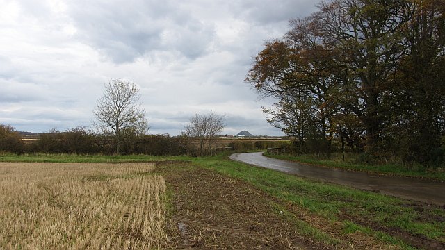
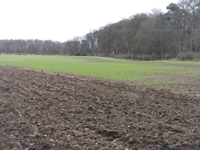
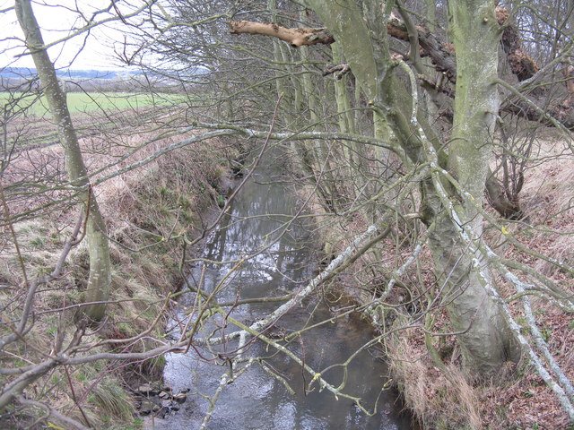
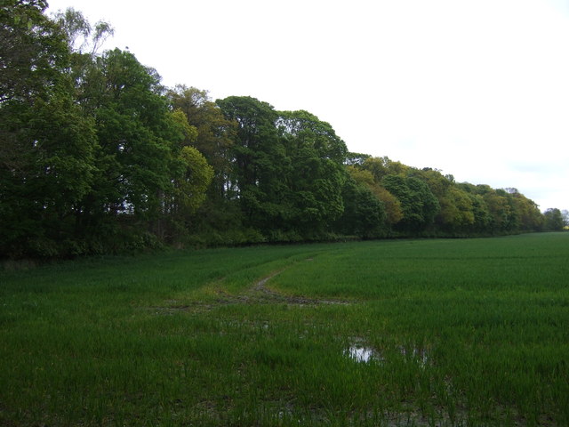
Cotland Strip is a woodland area located in East Lothian, Scotland. It covers approximately 20 acres of land and is known for its diverse range of flora and fauna. The woodland is predominantly made up of native Scottish tree species, including oak, birch, and pine.

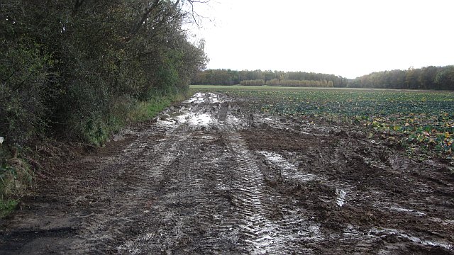
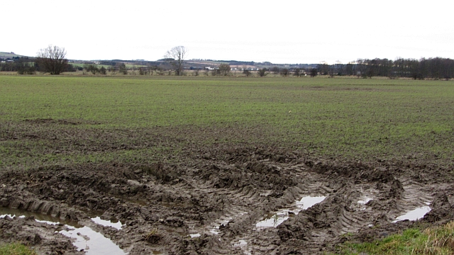
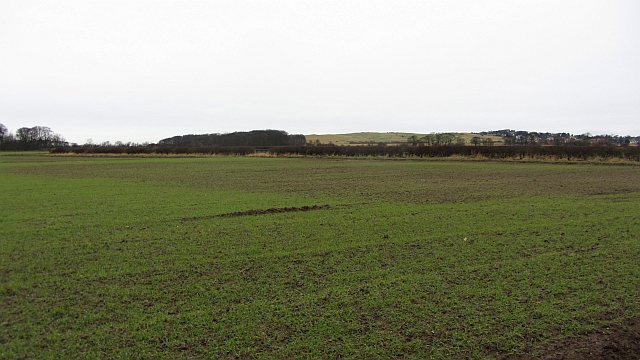
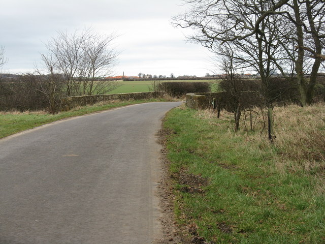
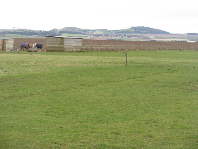
The area is popular with hikers and nature enthusiasts, who come to explore the network of trails that wind through the woodland. These trails offer stunning views of the surrounding countryside and provide opportunities to spot wildlife such as deer, squirrels, and a variety of bird species.

Cotland Strip is also home to a number of historic features, including remnants of old stone walls and ruins dating back to the medieval period. These add to the charm and character of the woodland, making it a unique and interesting place to visit.

Overall, Cotland Strip is a peaceful and picturesque woodland area that offers visitors the chance to connect with nature and enjoy the beauty of the East Lothian countryside.

If you have any feedback on the listing, please let us know in the comments section below.

Cotland Strip Images

Images are sourced within 2km of 56.006006/-2.8021023 or Grid Reference NT5079. Thanks to Geograph Open Source API. All images are credited.

Minor road, Luffness A wet and muddy road with stubble to the north and a vegetable crop to the south. The view is towards North Berwick Law.
Minor road, Luffness
A wet and muddy road with stubble to the north and a vegetable crop to the south. The view is towards North Berwick Law.
Mud Beside Hatty's Plantation, a large expanse of mud left after the cabbages have been lifted.
Mud
Beside Hatty's Plantation, a large expanse of mud left after the cabbages have been lifted.
Arable land, Park Hills Farmland around some surviving buildings from RAF Drem.
Arable land, Park Hills
Farmland around some surviving buildings from RAF Drem.
Arable land, Park Hills Flat ground with sandy soils. There are buildings remaining here from RAF Drem, a Spitfire base in World War II.
Arable land, Park Hills
Flat ground with sandy soils. There are buildings remaining here from RAF Drem, a Spitfire base in World War II.
Winter cereal at Floors Strip By the side of Avenue Road from Luffness Mains to Gullane Links.
Winter cereal at Floors Strip
By the side of Avenue Road from Luffness Mains to Gullane Links.
The Peffer Burn flows past Hatty's Plantation In less than 3 km it will be in Aberlady Bay.
The Peffer Burn flows past Hatty's Plantation
In less than 3 km it will be in Aberlady Bay.
Bridge over the Peffer Burn On the road from Luffness to West Fenton.
Bridge over the Peffer Burn
On the road from Luffness to West Fenton.
The Garleton Hills from West Fenton With the Hopetoun Monument on the right.
The Garleton Hills from West Fenton
With the Hopetoun Monument on the right.
Farmland towards Floors Strip
Farmland beside Peffer Burn
Road heading east towards West Fenton
Riding school building
Phone mast, Park Hills
Road heading towards West Fenton
Wheat field and view of Berwick Law Near the site of RAF Drem, now arable land.
Wheat field and view of Berwick Law
Near the site of RAF Drem, now arable land.
Arable land near Gullane Recently harvested barley field.
Arable land near Gullane
Recently harvested barley field.
Drem Ride Farm road running through a woodland.
Drem Ride
Farm road running through a woodland.
Woodland off Drem Ride
Show me another place!

Cotland Strip is located at Grid Ref: NT5079 (Lat: 56.006006, Lng: -2.8021023)

Unitary Authority: East Lothian

Police Authority: The Lothians and Scottish Borders

What 3 Words

///recitals.pyramid.inversely. Near Aberlady, East Lothian

Nearby Locations

Cotland Strip

Related Wikis

Drem

Drem (Scottish Gaelic: Druim) is a small village in East Lothian, Scotland.It is approximately 20 miles east of Edinburgh and is close to Haddington (to...

Drem railway station

Drem railway station serves the small village of Drem in East Lothian, 5 miles (8 km) from the seaside town of North Berwick in Scotland. It is located...

Chesters Hill Fort

Chesters Hill Fort is an Iron Age hill fort in East Lothian, Scotland. It lies 1 mile (2 kilometres) south of Drem, 1+1⁄2 mi (2.5 km) east of Ballencrieff...
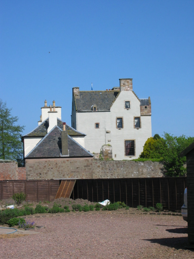
Ballencrieff Castle

Ballencrieff Castle, also known as Ballencrieff House, is a large tower house at Ballencrieff, East Lothian, Scotland. It is located three miles north...

Nearby Amenities

Located within 500m of 56.006006,-2.8021023
Power: pole
Lat/Long: 56.0028955/-2.8069156
Power: pole
Lat/Long: 56.002978/-2.8075084
The data included in this document is from www.openstreetmap.org. The data is made available under ODbL.

Have you been to Cotland Strip?

Leave your review of Cotland Strip below (or comments, questions and feedback).