Upper Covert

Wood, Forest in Berwickshire

Scotland

Upper Covert

Signpost, Girthgate A few years on from <a href="https://www.geograph.org.uk/photo/1913604">NT4848 : Footpath sign, Inchkeith</a>
Signpost, Girthgate Credit: Richard Webb

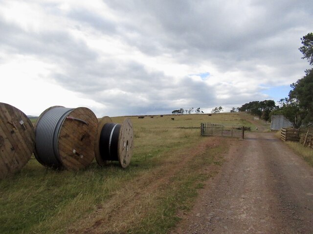
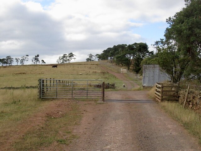
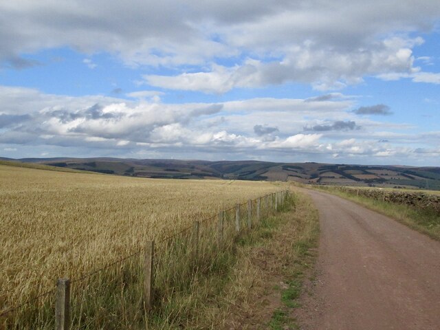
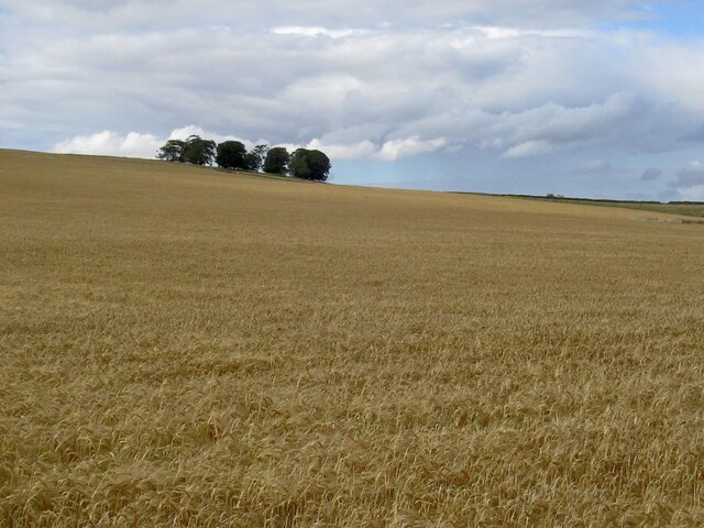
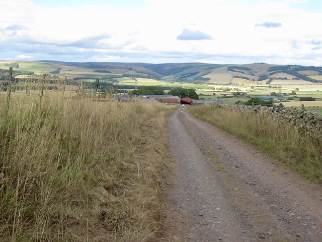
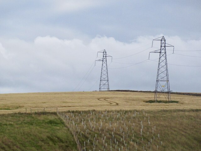
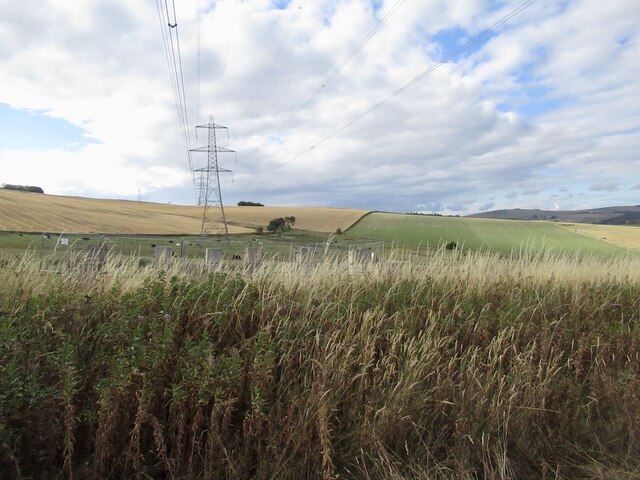
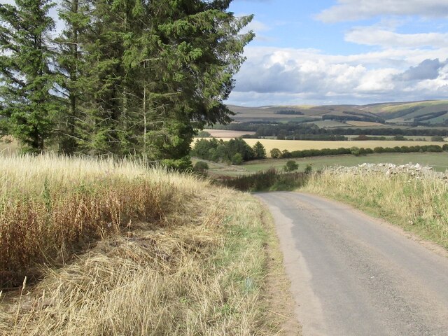
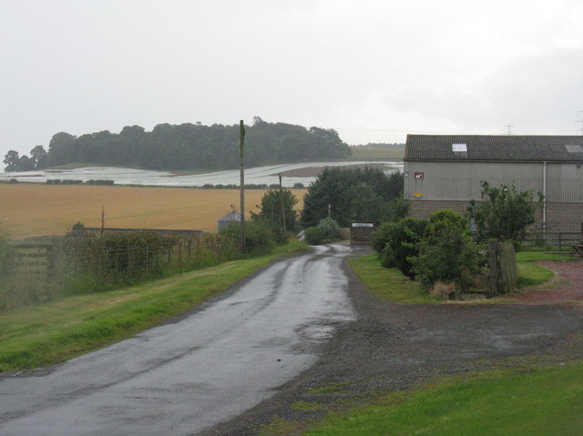
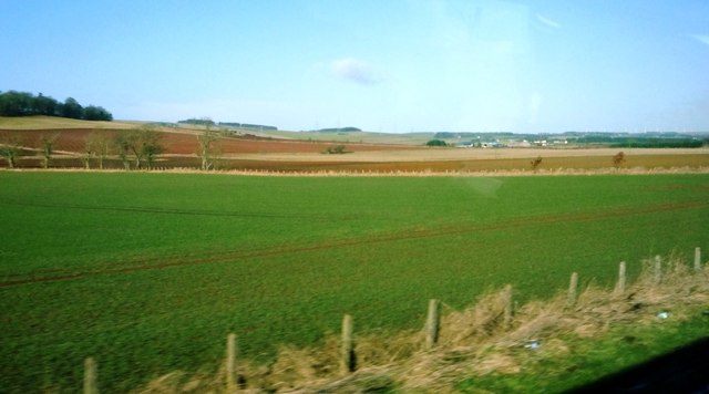
Upper Covert is a charming woodland area located in Berwickshire, Scotland. Situated in the southern part of the country, it covers a vast expanse of approximately 50 acres. The forest is known for its dense canopy and diverse range of tree species, including oak, birch, and pine, creating a rich and vibrant ecosystem.

The woodland is a haven for various wildlife, with an abundance of bird species such as woodpeckers, owls, and songbirds calling it home. Mammals like deer, foxes, and rabbits can also be spotted within the forest, adding to its natural allure.

Upper Covert is a popular destination for nature enthusiasts, hikers, and photographers who flock to the area to embrace its tranquil beauty. The forest offers a network of well-maintained walking trails that wind through the trees, providing breathtaking views of the surrounding countryside. These paths cater to different skill levels, ensuring that visitors of all ages and abilities can enjoy the serene ambiance.

The woodland also holds historical significance, with remnants of ancient settlements and archaeological sites scattered throughout. This adds an intriguing layer of exploration for history buffs and those interested in the region's past.

Upper Covert is a true gem in the Scottish landscape, offering visitors a chance to immerse themselves in nature's splendor. Whether it's a leisurely stroll, birdwatching, or simply escaping the hustle and bustle of everyday life, this woodland oasis is a must-visit destination for anyone seeking peace and tranquility in Berwickshire.

If you have any feedback on the listing, please let us know in the comments section below.
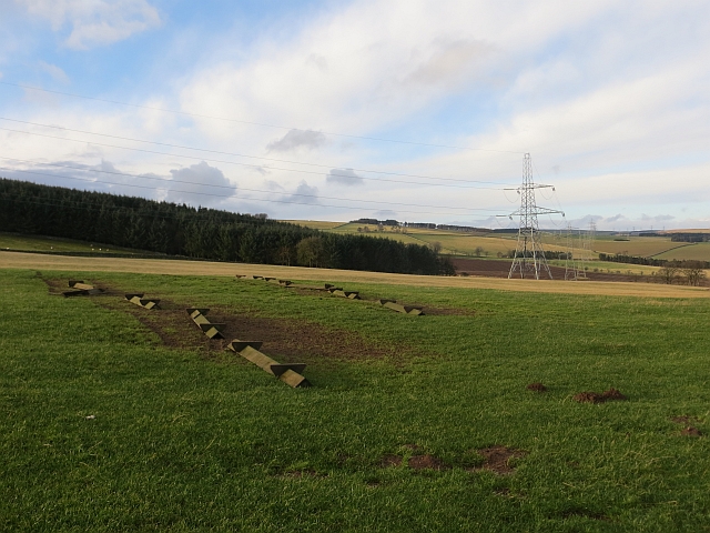
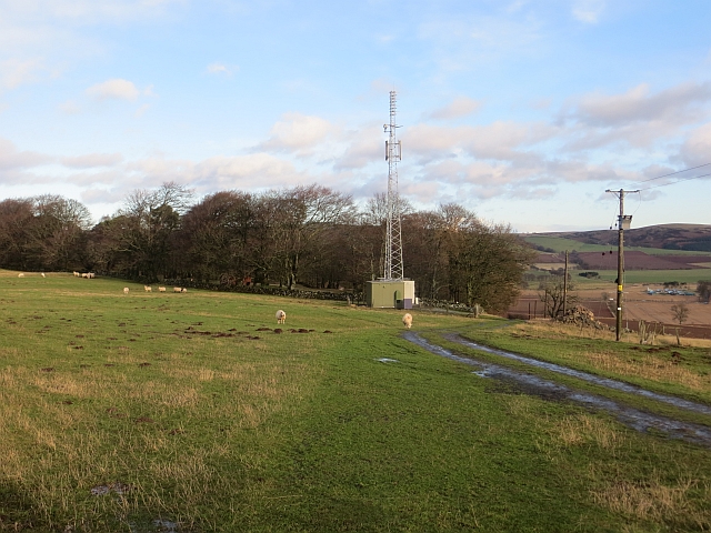
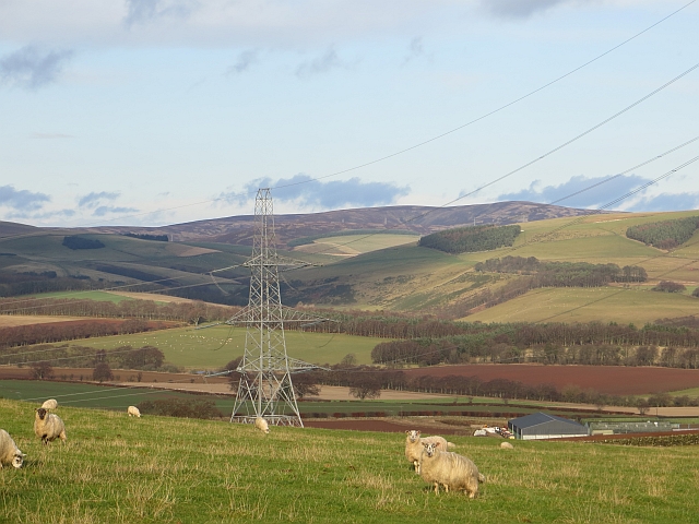
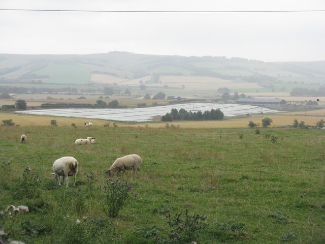
Upper Covert Images

Images are sourced within 2km of 55.734777/-2.7997144 or Grid Reference NT4949. Thanks to Geograph Open Source API. All images are credited.

Signpost, Girthgate A few years on from <a href="https://www.geograph.org.uk/photo/1913604">NT4848 : Footpath sign, Inchkeith</a>
Signpost, Girthgate
A few years on from NT4848 : Footpath sign, Inchkeith
The Girthgate, Inchkeith
Belties, Inchkeith Belted Galloway cow and calves beside the Girthgate.
Belties, Inchkeith
Belted Galloway cow and calves beside the Girthgate.
Girthgate, Inchkeith The access road to the farm at Inchkeith.
Girthgate, Inchkeith
The access road to the farm at Inchkeith.
Girthgate, above Bowerhouse With some cable drums. This is the access road to Inchkeith.
Girthgate, above Bowerhouse
With some cable drums. This is the access road to Inchkeith.
Girthgate, above Bowerhouse The road from Inchkeith turns sharp right here for the descent from the ridge.
Girthgate, above Bowerhouse
The road from Inchkeith turns sharp right here for the descent from the ridge.
The Inchkeith road Descending to Bowerhouse.
The Inchkeith road
Descending to Bowerhouse.
Barley on Collie Law
Road above Bowerhouse View across Lauderdale from the Inchkeith road.
Road above Bowerhouse
View across Lauderdale from the Inchkeith road.
Power line near Lauder Between Bowerhouse and Inchkeith.
Power line near Lauder
Between Bowerhouse and Inchkeith.
Power line, Bowerhouse One of two running along the ridge west of Lauder. This one is currently being refurbished and connects with the substation at Eccles.
Power line, Bowerhouse
One of two running along the ridge west of Lauder. This one is currently being refurbished and connects with the substation at Eccles.
Road from Bowerhouse
Upturned troughs Awaiting the return of sheep to this field.
Upturned troughs
Awaiting the return of sheep to this field.
Mobile mast, Blackchester Good line of sight down Lauderdale.
Mobile mast, Blackchester
Good line of sight down Lauderdale.
View of the Lammermuir Hills Looking past the Smeaton to Eccles power lines across the head of Lauderdale.
View of the Lammermuir Hills
Looking past the Smeaton to Eccles power lines across the head of Lauderdale.
Lauderdale Looking over the valley from Bowerhouse, with a fleece/plastic-protected crop prominent. If fleece, this is often to protect carrots or brassicas from attack by insects, instead of using insecticides
Lauderdale
Looking over the valley from Bowerhouse, with a fleece/plastic-protected crop prominent. If fleece, this is often to protect carrots or brassicas from attack by insects, instead of using insecticides
Midburn farm The woodland in the next square south hides the fort and settlement of Blackchester.
Midburn farm
The woodland in the next square south hides the fort and settlement of Blackchester.
Landscape near Lauderhaugh Fields in crop adjacent to A68 (shortly before turning to Lauderhaugh on other side of the road)
Landscape near Lauderhaugh
Fields in crop adjacent to A68 (shortly before turning to Lauderhaugh on other side of the road)
Show me another place!

Upper Covert is located at Grid Ref: NT4949 (Lat: 55.734777, Lng: -2.7997144)

Unitary Authority: The Scottish Borders

Police Authority: The Lothians and Scottish Borders

What 3 Words

///proud.many.occur. Near Lauder, Scottish Borders

Related Wikis

Lauder railway station

Lauder railway station served the town of Lauder, Berwickshire, Scotland, from 1901 to 1958. It was situated on the Lauder Light Railway. == History... ==

Lauderdale

Lauderdale is the valley of the Leader Water (a tributary of the Tweed) in the Scottish Borders. It contains the town of Lauder, as well as Earlston. The...

Lauder

The former Royal Burgh of Lauder (, Scottish Gaelic: Labhdar) is a town in the Scottish Borders in the historic county of Berwickshire. On the Southern...

Lauder Town Hall

Lauder Town Hall is a municipal structure in the Market Place in Lauder, Scottish Borders, Scotland. The structure, which is used as the local registrar...

Nearby Amenities

Located within 500m of 55.734777,-2.7997144
Power: tower
Lat/Long: 55.7334572/-2.8035392
Power: tower
Lat/Long: 55.7350213/-2.8045964
Power: tower
Lat/Long: 55.7312518/-2.8020486
Power: tower
Lat/Long: 55.7372112/-2.8060766
Natural: peak
Lat/Long: 55.7354353/-2.8043316
Power: pole
Lat/Long: 55.7320353/-2.8058562
Power: pole
Lat/Long: 55.73162/-2.8052446
Power: pole
Lat/Long: 55.7352058/-2.7921261
Power: pole
Lat/Long: 55.7357732/-2.7928641
Power: pole
Lat/Long: 55.7363378/-2.7936022
Power: pole
Lat/Long: 55.7369238/-2.7943352
Power: pole
Lat/Long: 55.7371445/-2.7958419
Power: pole
Lat/Long: 55.7373652/-2.7973257
Power: pole
Lat/Long: 55.737709/-2.7977863
Power: pole
Lat/Long: 55.7383137/-2.7986313
Power: pole
Lat/Long: 55.7387865/-2.798644
The data included in this document is from www.openstreetmap.org. The data is made available under ODbL.

Have you been to Upper Covert?

Leave your review of Upper Covert below (or comments, questions and feedback).