Edgarhope Forest

Wood, Forest in Berwickshire

Scotland

Edgarhope Forest

Rough grazing, Scroof Hill On the Girthgate.
Rough grazing, Scroof Hill Credit: Richard Webb

Edgarhope Forest is a sprawling woodland located in the county of Berwickshire, Scotland. Covering an extensive area of approximately 2,000 acres, the forest is a haven for nature enthusiasts and offers a tranquil escape from the bustling urban life.

The forest boasts a rich and diverse ecosystem, consisting of a variety of tree species such as oak, birch, beech, and pine. The towering trees provide a dense canopy, creating a shaded and cool environment even during hot summer days. A network of well-maintained paths and trails wind through the forest, offering visitors the opportunity to explore its beauty on foot or by bike.

Edgarhope Forest is home to a wide range of wildlife, including deer, foxes, badgers, and a plethora of bird species. Birdwatchers are particularly drawn to the forest due to the abundance of rare and migratory birds that can be spotted throughout the year. Nature lovers can also enjoy the sight of vibrant wildflowers carpeting the forest floor during the spring and summer months.

The forest is not only a recreational area but also an important resource for the local community. Sustainable timber harvesting is carried out in designated sections of the forest, providing a source of income and supporting the local economy. Additionally, the forest serves as a carbon sink, actively contributing to mitigating climate change by absorbing carbon dioxide from the atmosphere.

Overall, Edgarhope Forest is a cherished natural asset in Berwickshire, offering a serene and diverse environment for visitors to enjoy and providing numerous benefits to both the local community and the wider ecosystem.

If you have any feedback on the listing, please let us know in the comments section below.

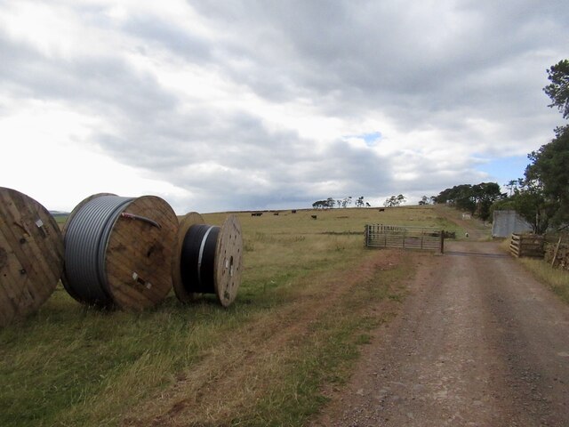
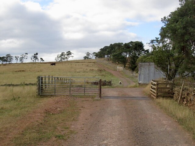
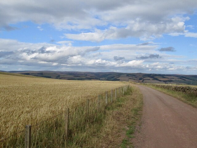
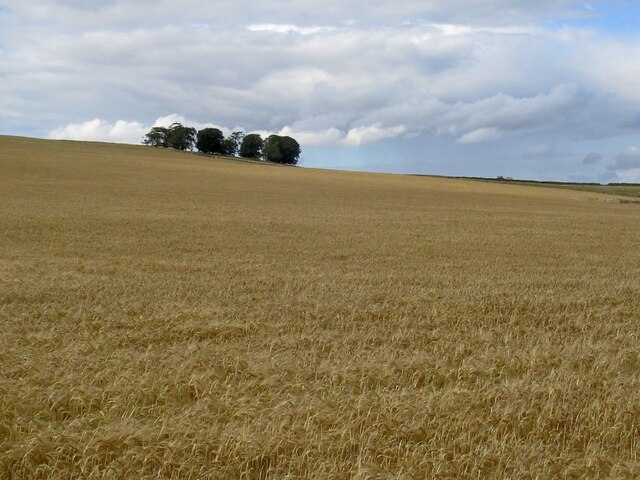
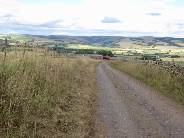
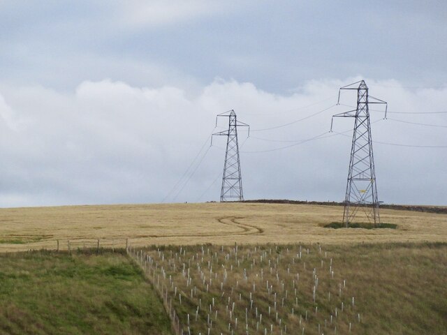
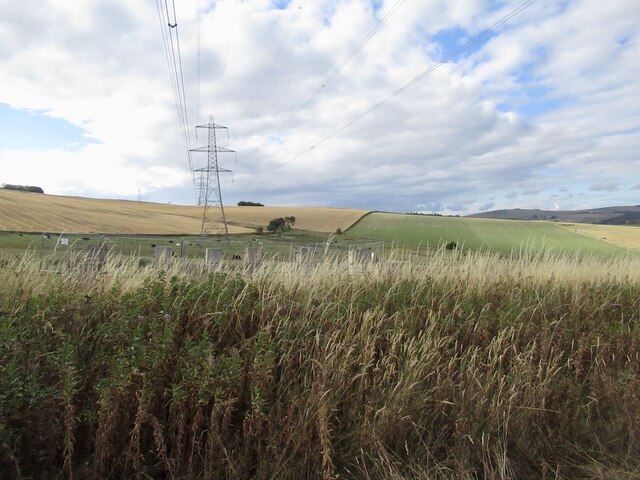
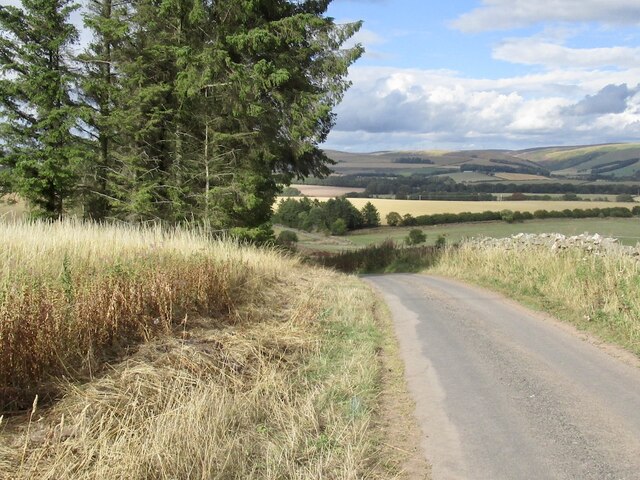
Edgarhope Forest Images

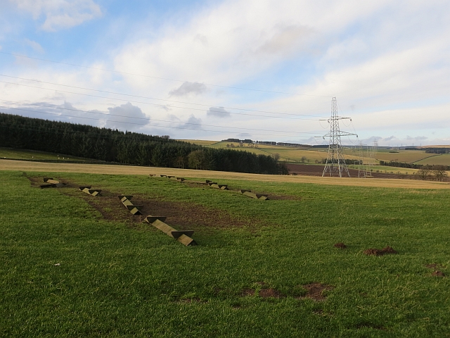
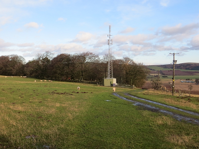
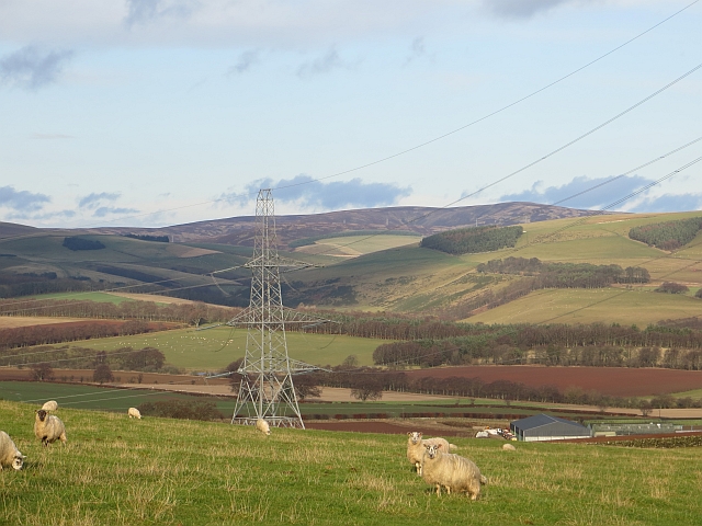
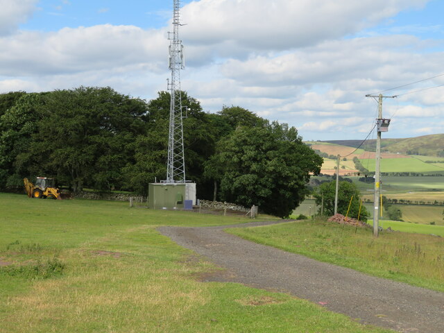
Images are sourced within 2km of 55.734452/-2.8054249 or Grid Reference NT4949. Thanks to Geograph Open Source API. All images are credited.

Rough grazing, Scroof Hill On the Girthgate.
Rough grazing, Scroof Hill
On the Girthgate.
The Girthgate The old pilgrimage road runs through a plantation with the help of a wide ride.
The Girthgate
The old pilgrimage road runs through a plantation with the help of a wide ride.
Signpost, Girthgate A few years on from <a href="https://www.geograph.org.uk/photo/1913604">NT4848 : Footpath sign, Inchkeith</a>
Signpost, Girthgate
A few years on from NT4848 : Footpath sign, Inchkeith
The Girthgate, Inchkeith
Belties, Inchkeith Belted Galloway cow and calves beside the Girthgate.
Belties, Inchkeith
Belted Galloway cow and calves beside the Girthgate.
Girthgate, Inchkeith The access road to the farm at Inchkeith.
Girthgate, Inchkeith
The access road to the farm at Inchkeith.
Girthgate, above Bowerhouse With some cable drums. This is the access road to Inchkeith.
Girthgate, above Bowerhouse
With some cable drums. This is the access road to Inchkeith.
Girthgate, above Bowerhouse The road from Inchkeith turns sharp right here for the descent from the ridge.
Girthgate, above Bowerhouse
The road from Inchkeith turns sharp right here for the descent from the ridge.
The Inchkeith road Descending to Bowerhouse.
The Inchkeith road
Descending to Bowerhouse.
Barley on Collie Law
Road above Bowerhouse View across Lauderdale from the Inchkeith road.
Road above Bowerhouse
View across Lauderdale from the Inchkeith road.
Power line near Lauder Between Bowerhouse and Inchkeith.
Power line near Lauder
Between Bowerhouse and Inchkeith.
Power line, Bowerhouse One of two running along the ridge west of Lauder. This one is currently being refurbished and connects with the substation at Eccles.
Power line, Bowerhouse
One of two running along the ridge west of Lauder. This one is currently being refurbished and connects with the substation at Eccles.
Road from Bowerhouse
Upturned troughs Awaiting the return of sheep to this field.
Upturned troughs
Awaiting the return of sheep to this field.
Mobile mast, Blackchester Good line of sight down Lauderdale.
Mobile mast, Blackchester
Good line of sight down Lauderdale.
View of the Lammermuir Hills Looking past the Smeaton to Eccles power lines across the head of Lauderdale.
View of the Lammermuir Hills
Looking past the Smeaton to Eccles power lines across the head of Lauderdale.
Mast at Blackchester Overlooking Lauderdale.
Mast at Blackchester
Overlooking Lauderdale.
Show me another place!

Edgarhope Forest is located at Grid Ref: NT4949 (Lat: 55.734452, Lng: -2.8054249)

Unitary Authority: The Scottish Borders

Police Authority: The Lothians and Scottish Borders

What 3 Words

///suits.nourished.applies. Near Lauder, Scottish Borders

Related Wikis

Lauder railway station

Lauder railway station served the town of Lauder, Berwickshire, Scotland, from 1901 to 1958. It was situated on the Lauder Light Railway. == History... ==

Lauderdale

Lauderdale is the valley of the Leader Water (a tributary of the Tweed) in the Scottish Borders. It contains the town of Lauder, as well as Earlston. The...

Lauder

The former Royal Burgh of Lauder (, Scottish Gaelic: Labhdar) is a town in the Scottish Borders in the historic county of Berwickshire. On the Southern...

Lauder Town Hall

Lauder Town Hall is a municipal structure in the Market Place in Lauder, Scottish Borders, Scotland. The structure, which is used as the local registrar...

Nearby Amenities

Located within 500m of 55.734452,-2.8054249
Power: tower
Lat/Long: 55.7334572/-2.8035392
Power: tower
Lat/Long: 55.7350213/-2.8045964
Power: tower
Lat/Long: 55.7312518/-2.8020486
Power: tower
Lat/Long: 55.7372112/-2.8060766
Natural: peak
Lat/Long: 55.7354353/-2.8043316
Power: pole
Lat/Long: 55.7354453/-2.8116283
Power: pole
Lat/Long: 55.7349493/-2.8108062
Power: pole
Lat/Long: 55.7343384/-2.8097574
Power: pole
Lat/Long: 55.7337585/-2.8087825
Power: pole
Lat/Long: 55.7332601/-2.8079322
Power: pole
Lat/Long: 55.7326742/-2.8069291
Power: pole
Lat/Long: 55.7320353/-2.8058562
Power: pole
Lat/Long: 55.73162/-2.8052446
Power: pole
Lat/Long: 55.7311413/-2.8045473
Power: pole
Lat/Long: 55.7307214/-2.8038767
Power: pole
Lat/Long: 55.7301218/-2.8032571
The data included in this document is from www.openstreetmap.org. The data is made available under ODbL.

Have you been to Edgarhope Forest?

Leave your review of Edgarhope Forest below (or comments, questions and feedback).