Dryburn Plantation

Wood, Forest in Roxburghshire

Scotland

Dryburn Plantation

Southern Upland Way, Gala Hill The way descends towards the River Tweed to the south of Galashiels.
Southern Upland Way, Gala Hill Credit: Jim Barton

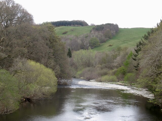
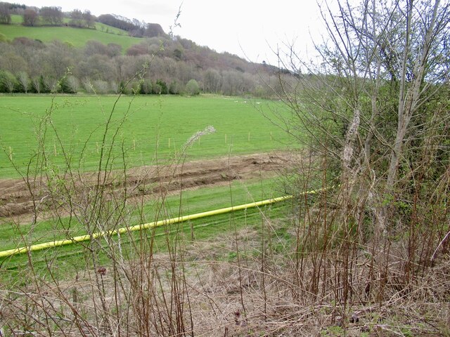
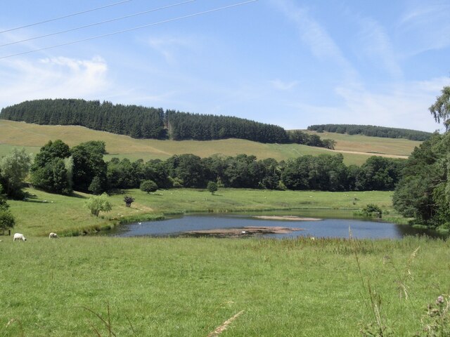
Dryburn Plantation is a sprawling woodland located in Roxburghshire, Scotland. Covering an area of approximately 500 acres, this plantation is renowned for its diverse range of trees and abundant wildlife. The woodland consists primarily of mixed broadleaf trees, including oak, beech, birch, and ash, creating a rich tapestry of colors throughout the year.

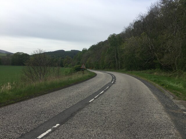
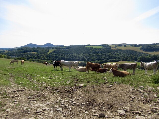
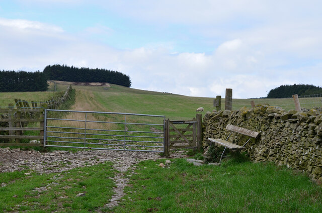
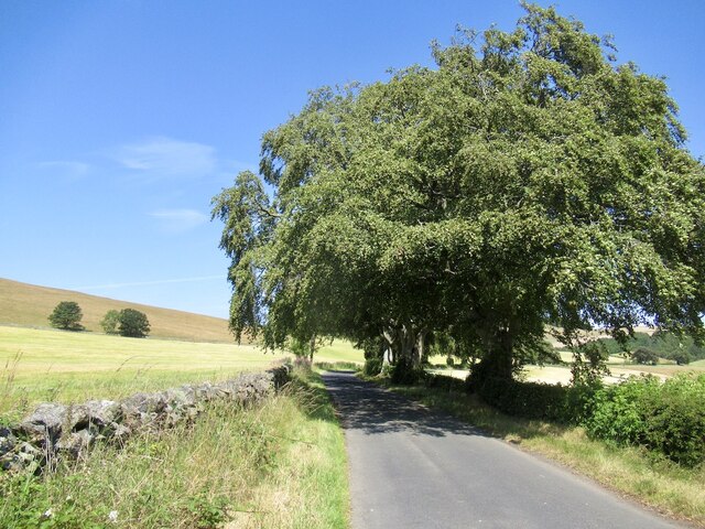
The plantation offers a variety of walking trails, allowing visitors to explore the beauty of nature at their own pace. These trails wind through the woodland, providing opportunities to spot indigenous wildlife such as red squirrels, roe deer, and a plethora of bird species. Bird enthusiasts will particularly enjoy the presence of woodpeckers, tawny owls, and various songbirds that inhabit the area.

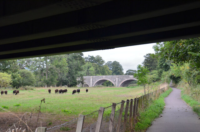
Dryburn Plantation is also home to a small lake, providing a tranquil spot for picnicking or enjoying the scenery. The lake is teeming with aquatic life, including ducks, swans, and various species of fish, making it a popular spot for fishing and birdwatching.

For those interested in the history of the area, Dryburn Plantation has a rich heritage dating back centuries. The remnants of an old castle, believed to have been built in the 16th century, can still be found within the woodland. This adds an element of mystery and intrigue to the plantation, enticing history buffs and adventurers alike.

Overall, Dryburn Plantation in Roxburghshire offers a captivating blend of natural beauty, wildlife, and historical significance. It is a sanctuary for nature lovers and a haven for those seeking to escape the hustle and bustle of everyday life.

If you have any feedback on the listing, please let us know in the comments section below.

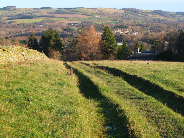
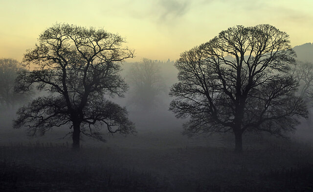
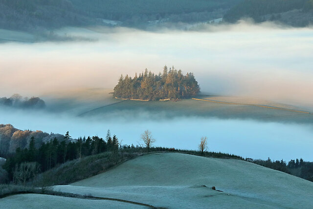
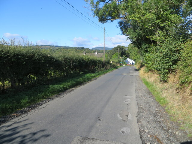
Dryburn Plantation Images

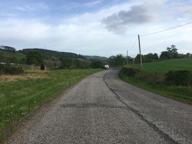
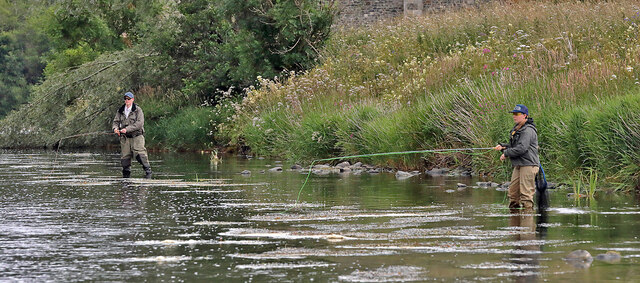
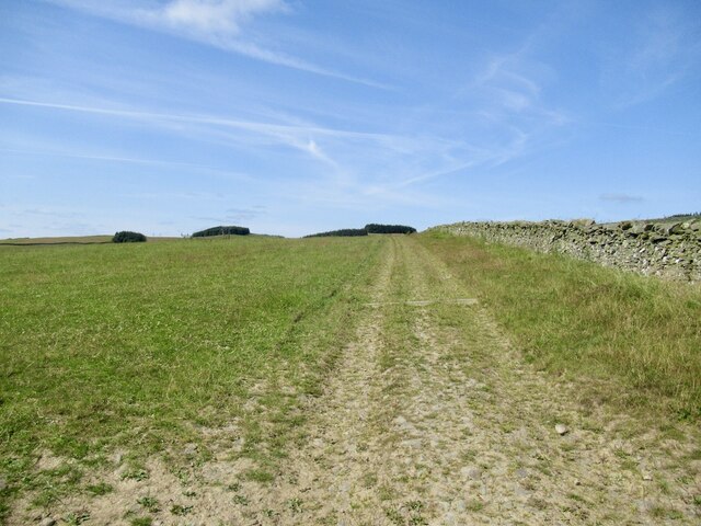
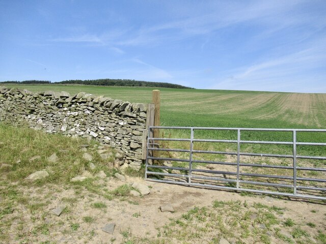
Images are sourced within 2km of 55.585818/-2.7964601 or Grid Reference NT4932. Thanks to Geograph Open Source API. All images are credited.

Southern Upland Way, Gala Hill The way descends towards the River Tweed to the south of Galashiels.
Southern Upland Way, Gala Hill
The way descends towards the River Tweed to the south of Galashiels.
Winter trees by the River Tweed Freezing fog was beginning to form in this dusk shot taken from Tweed Bridge.
Winter trees by the River Tweed
Freezing fog was beginning to form in this dusk shot taken from Tweed Bridge.
Rink Hill from Eildon Mid Hill The small circular plantation on Rink Hill is the site of an Iron Age hillfort. This telephoto shot was taken from the summit of Eildon Mid Hill during a December sunrise. For two closer views of the small plantation on Rink Hill, see <a href="https://www.geograph.org.uk/photo/2347041">NT4832 : The Rink Hill Fort</a> and <a href="https://www.geograph.org.uk/photo/1758293">NT4732 : Rink Hill</a>.
Rink Hill from Eildon Mid Hill
The small circular plantation on Rink Hill is the site of an Iron Age hillfort. This telephoto shot was taken from the summit of Eildon Mid Hill during a December sunrise. For two closer views of the small plantation on Rink Hill, see NT4832 : The Rink Hill Fort and NT4732 : Rink Hill.
Minor road approaching Lindean Hall Looking north-westward.
Minor road approaching Lindean Hall
Looking north-westward.
Ettrick Water View downstream from Ettrick Bridge, a redundant alignment of the A7.
Ettrick Water
View downstream from Ettrick Bridge, a redundant alignment of the A7.
Tweed Bridge Once it carried the A7 it has now been refurbished as a cycle path.
Tweed Bridge
Once it carried the A7 it has now been refurbished as a cycle path.
Pipeline construction Between Galshiels and Selkirk
Pipeline construction
Between Galshiels and Selkirk
Pipeline construction
B6360 near Faldonside
B7060 towards Yair
B7060 towards Yair
Anglers on the River Tweed This stretch of the river is just upstream from Tweed Bridge and the junction with the Ettrick Water.
Anglers on the River Tweed
This stretch of the river is just upstream from Tweed Bridge and the junction with the Ettrick Water.
Track above Netherbarns
Grassland on Gala Hill During a very dry Summer.
Grassland on Gala Hill
During a very dry Summer.
Cattle above Netherbarns
Old Tweed Bridge from the A7 bridge The cyclepath alongside the Tweed between Selkirk and Galashiels passes under the A7 bridge here with the Old Tweed Bridge or Rink Bridge in view. Sir Walter Scott laid the foundation stone for the latter in 1831.
Old Tweed Bridge from the A7 bridge
The cyclepath alongside the Tweed between Selkirk and Galashiels passes under the A7 bridge here with the Old Tweed Bridge or Rink Bridge in view. Sir Walter Scott laid the foundation stone for the latter in 1831.
Gates and seat, Gala Hill The Southern Upland Way turns right here on its traverse across the east side of Gala Hill.
Gates and seat, Gala Hill
The Southern Upland Way turns right here on its traverse across the east side of Gala Hill.
Passing The Rink
Passing The Rink
Hollybush Loch
Hollybush Loch
Show me another place!

Dryburn Plantation is located at Grid Ref: NT4932 (Lat: 55.585818, Lng: -2.7964601)

Unitary Authority: The Scottish Borders

Police Authority: The Lothians and Scottish Borders

What 3 Words

///facing.qualify.grasp. Near Tweedbank, Scottish Borders

Related Wikis

Nearby Amenities

Located within 500m of 55.585818,-2.7964601
Faldonside
Place: hamlet
Lat/Long: 55.5871999/-2.791145
Faldonside Stables
Place: hamlet
Lat/Long: 55.5897597/-2.7977535
Noexit: yes
Lat/Long: 55.589785/-2.7978538
Power: pole
Lat/Long: 55.5880075/-2.7948238
Power: pole
Lat/Long: 55.588196/-2.794437
Power: pole
Lat/Long: 55.5886735/-2.7935157
Power: pole
Lat/Long: 55.5902196/-2.7979365
Power: pole
Lat/Long: 55.5897752/-2.7971882
Power: pole
Lat/Long: 55.5892876/-2.7965392
Power: pole
Lat/Long: 55.5884937/-2.7954601
Power: pole
Lat/Long: 55.5874883/-2.7941189
Power: pole
Lat/Long: 55.587087/-2.7935869
Power: pole
Lat/Long: 55.5868094/-2.7932026
Power: pole
Lat/Long: 55.5864412/-2.7924951
The data included in this document is from www.openstreetmap.org. The data is made available under ODbL.

Have you been to Dryburn Plantation?

Leave your review of Dryburn Plantation below (or comments, questions and feedback).