Cefn-mawr

Settlement in Denbighshire

Wales

Cefn-mawr

A483 near Ruabon The A483 is a major north-south trunk road in Wales, running for 149 miles between Chester and Junction 42 of the M4 motorway just east of Swansea.
<span class="nowrap"><a title="http://www.sabre-roads.org.uk/wiki/index.php?title=A483" rel="nofollow ugc noopener" href="http://www.sabre-roads.org.uk/wiki/index.php?title=A483">Link</a><img style="margin-left:2px;" alt="External link" title="External link - shift click to open in new window" src="https://s1.geograph.org.uk/img/external.png" width="10" height="10"/></span>  SABRE
<span class="nowrap"><a title="https://en.wikipedia.org/wiki/A483_road" rel="nofollow ugc noopener" href="https://en.wikipedia.org/wiki/A483_road">Link</a><img style="margin-left:2px;" alt="External link" title="External link - shift click to open in new window" src="https://s1.geograph.org.uk/img/external.png" width="10" height="10"/></span>  Wikipedia
A483 near Ruabon Credit: David Dixon

The requested URL returned error: 429 Too Many Requests

If you have any feedback on the listing, please let us know in the comments section below.
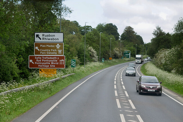
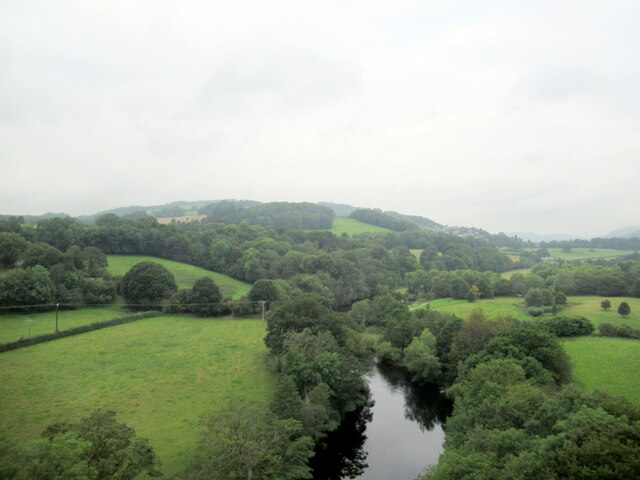
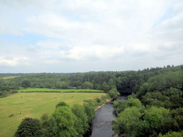
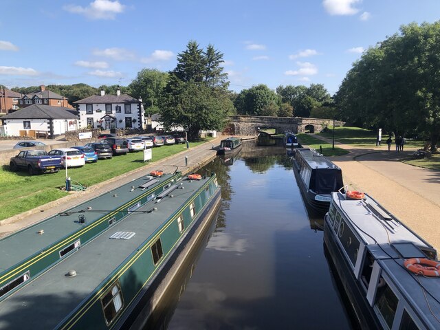
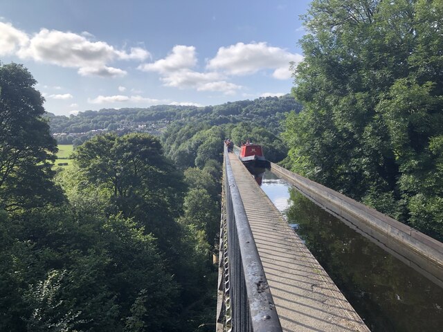
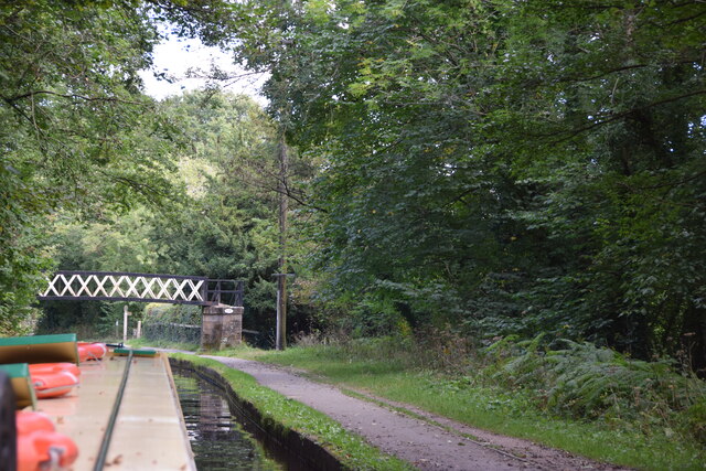
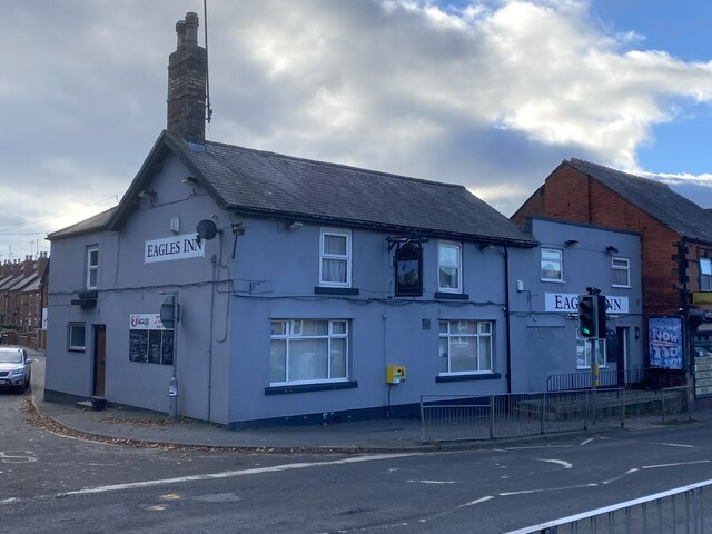
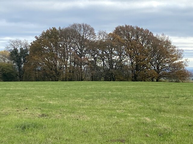
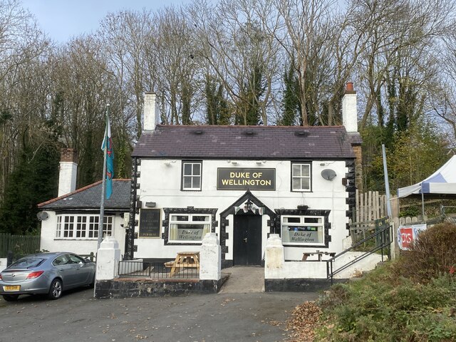
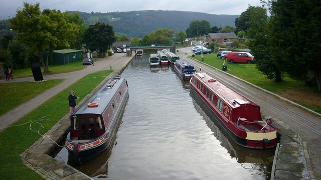
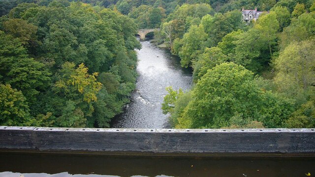
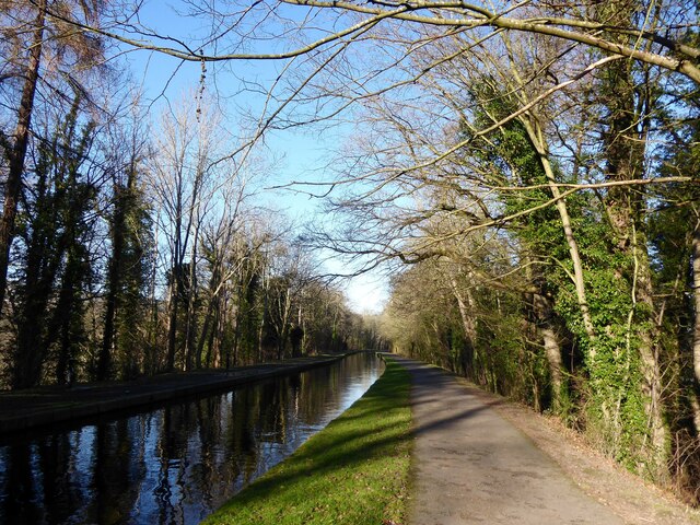
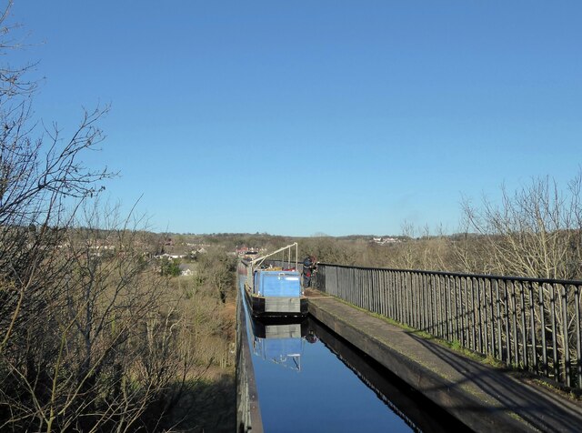
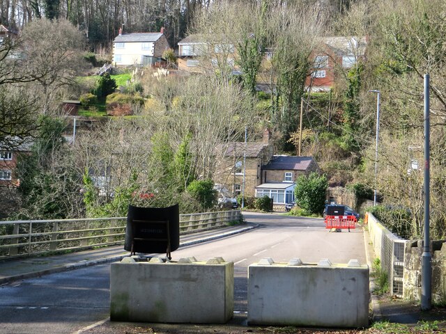
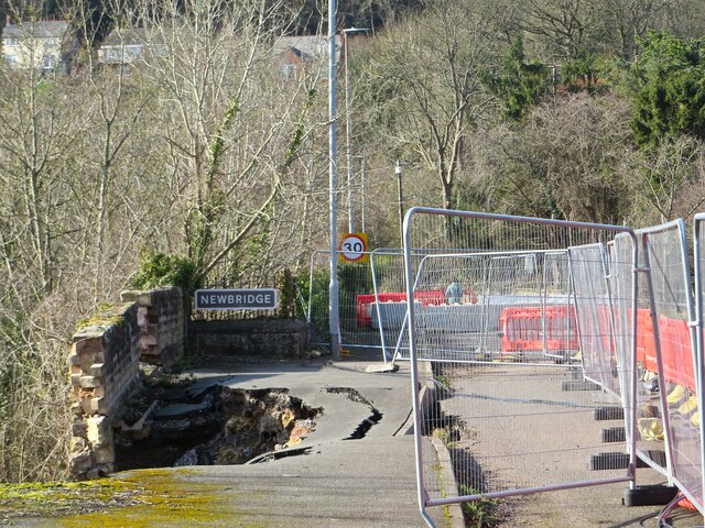
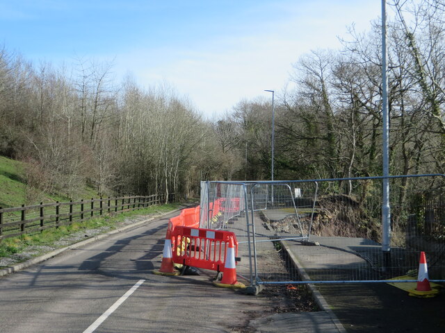
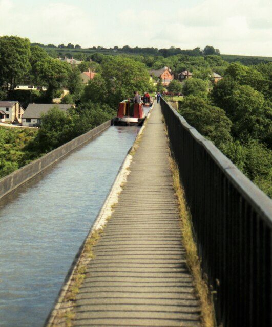
Cefn-mawr Images

Images are sourced within 2km of 52.976258/-3.071353 or Grid Reference SJ2842. Thanks to Geograph Open Source API. All images are credited.

A483 near Ruabon The A483 is a major north-south trunk road in Wales, running for 149 miles between Chester and Junction 42 of the M4 motorway just east of Swansea.
<span class="nowrap"><a title="http://www.sabre-roads.org.uk/wiki/index.php?title=A483" rel="nofollow ugc noopener" href="http://www.sabre-roads.org.uk/wiki/index.php?title=A483">Link</a><img style="margin-left:2px;" alt="External link" title="External link - shift click to open in new window" src="https://s1.geograph.org.uk/img/external.png" width="10" height="10"/></span>  SABRE
<span class="nowrap"><a title="https://en.wikipedia.org/wiki/A483_road" rel="nofollow ugc noopener" href="https://en.wikipedia.org/wiki/A483_road">Link</a><img style="margin-left:2px;" alt="External link" title="External link - shift click to open in new window" src="https://s1.geograph.org.uk/img/external.png" width="10" height="10"/></span>  Wikipedia
A483 near Ruabon
The A483 is a major north-south trunk road in Wales, running for 149 miles between Chester and Junction 42 of the M4 motorway just east of Swansea. LinkExternal link SABRE LinkExternal link Wikipedia
The River Dee from the Newbridge viaduct
Trevor Basin Trevor Basin is at the northern end of the central section of what was planned as the Ellesmere Canal linking the Mersey and Severn rivers. The canal was never completed in full and Trevor Basin - just north of Pontcysyllte Aqueduct - became the northern terminus. The canal here is today named the Llangollen Canal, though the stretch from Trevor Basin to Llangollen was in fact only originally intended as a water feed to the Ellesmere canal.
Trevor Basin
Trevor Basin is at the northern end of the central section of what was planned as the Ellesmere Canal linking the Mersey and Severn rivers. The canal was never completed in full and Trevor Basin - just north of Pontcysyllte Aqueduct - became the northern terminus. The canal here is today named the Llangollen Canal, though the stretch from Trevor Basin to Llangollen was in fact only originally intended as a water feed to the Ellesmere canal.
Narrowboat on Pontcysyllte Aqueduct The highest canal aqueduct in the world, Grade I listed and a UNESCO World Heritage Site. Completed in 1805 to a design by Thomas Telford and William Jessop.
Narrowboat on Pontcysyllte Aqueduct
The highest canal aqueduct in the world, Grade I listed and a UNESCO World Heritage Site. Completed in 1805 to a design by Thomas Telford and William Jessop.
Bridge 33W, Llangollen Canal This bridge just south of the village of Trevor is a footbridge.
Bridge 33W, Llangollen Canal
This bridge just south of the village of Trevor is a footbridge.
The Eagles Inn On the A539 in Acrefair.
The Eagles Inn
On the A539 in Acrefair.
Replacing the old reservoir New water storage tanks at Sugn-y-pwl.
Replacing the old reservoir
New water storage tanks at Sugn-y-pwl.
Field and trees east of Bowers Road
The Duke of Wellington Pub adjacent to the A539.
The Duke of Wellington
Pub adjacent to the A539.
Trevor Arm, Llangollen Canal The Llangollen canal is an arm of the Shropshire Union canal that runs from Hurleston Junction to Llangollen with a wide variety of scenery along its course. Its total length is 46 miles, but the last 1½ miles from Llangollen to Llantisilio is unnavigable by any boats over about 10' length.
The canal's vital statistics for craft are:
Length 72 '
Beam 6'10"
Headroom 7'
Draught 2'3" (Hurleston to Pontcysyllte) 2' (P. to Llangollen)
These are the maximum dimensions for any craft, based on the minimum dimensions of locks & bridges.
There are a total of 21 locks on the canal, but only two between Llangollen and Whitchurch (a distance of about 31 miles). One of the most notable things about the canal is the strong flow especially in the "narrows" near Llangollen and in the tunnels near Chirk. About 12 million gallons of water passes down this canal from the River Dee to the Shropshire Union every day.
The most famous feature of this canal is the superb feat of engineering that is the 200-year-old Pontcysyllte Aqueduct rising 126' above the River Dee and running for over 335 yds - for more information on this see the numerous photos for squares SJ2742 and SJ2741
Trevor Arm, Llangollen Canal
The Llangollen canal is an arm of the Shropshire Union canal that runs from Hurleston Junction to Llangollen with a wide variety of scenery along its course. Its total length is 46 miles, but the last 1½ miles from Llangollen to Llantisilio is unnavigable by any boats over about 10' length. The canal's vital statistics for craft are: Length 72 ' Beam 6'10" Headroom 7' Draught 2'3" (Hurleston to Pontcysyllte) 2' (P. to Llangollen) These are the maximum dimensions for any craft, based on the minimum dimensions of locks & bridges. There are a total of 21 locks on the canal, but only two between Llangollen and Whitchurch (a distance of about 31 miles). One of the most notable things about the canal is the strong flow especially in the "narrows" near Llangollen and in the tunnels near Chirk. About 12 million gallons of water passes down this canal from the River Dee to the Shropshire Union every day. The most famous feature of this canal is the superb feat of engineering that is the 200-year-old Pontcysyllte Aqueduct rising 126' above the River Dee and running for over 335 yds - for more information on this see the numerous photos for squares SJ2742 and SJ2741
Cysylltau Bridge View from Pont Cysyllte Aqueduct.
Cysylltau Bridge
View from Pont Cysyllte Aqueduct.
The Llangollen Canal, Froncysyllte The Llangollen Canal runs on a high tree-covered embankment on the southern approach to Pont-Cysyllte.
The Llangollen Canal, Froncysyllte
The Llangollen Canal runs on a high tree-covered embankment on the southern approach to Pont-Cysyllte.
Repairing the railings Repairs are underway to the cast iron railings of the Pont-Cysyllte aqueduct.  The equipment has been taken to the site by boat and the canal is closed while the work is in progress.
Repairing the railings
Repairs are underway to the cast iron railings of the Pont-Cysyllte aqueduct. The equipment has been taken to the site by boat and the canal is closed while the work is in progress.
Closed road, Newbridge In early 2021, the B5605 - formerly the main A483 - suffered a landslide just behind where I'm standing here. The road has been closed since, and there is still no agreement on funding to restore it.
Closed road, Newbridge
In early 2021, the B5605 - formerly the main A483 - suffered a landslide just behind where I'm standing here. The road has been closed since, and there is still no agreement on funding to restore it.
Landslip, B5605 The road - the old A483 - runs along a cliff above a bend in the River Dee. It suffered a landslide in January 2021, and has been closed ever since.
Landslip, B5605
The road - the old A483 - runs along a cliff above a bend in the River Dee. It suffered a landslide in January 2021, and has been closed ever since.
Landslip, B5605 Taken from the opposite side to <a href="https://www.geograph.org.uk/photo/7108963">SJ2841 : Landslip, B5605</a>, this shows the extent of the landslide that took out the old A483 (the Manchester - Swansea trunk road of its day) in the torrential rains of Storm Christoph in January 2021. It also shows the extent of the work needed to repair the damage, for it is a sheer drop there down to the River Dee, 100 feet below.
Landslip, B5605
Taken from the opposite side to SJ2841 : Landslip, B5605, this shows the extent of the landslide that took out the old A483 (the Manchester - Swansea trunk road of its day) in the torrential rains of Storm Christoph in January 2021. It also shows the extent of the work needed to repair the damage, for it is a sheer drop there down to the River Dee, 100 feet below.
Cruising North on the Pontcysyllte Aqueduct in 1995 A convoy system was in use
Cruising North on the Pontcysyllte Aqueduct in 1995
A convoy system was in use
Show me another place!

Cefn-mawr is located at Grid Ref: SJ2842 (Lat: 52.976258, Lng: -3.071353)

Unitary Authority: Wrexham

Police Authority: North Wales

What 3 Words

///suddenly.swarm.butterfly. Near Ruabon, Wrexham

Related Wikis

The Rock, Rhosymedre

The Rock is a football stadium based in Rhosymedre, Wales. It is currently the home stadium for Cymru North teams Cefn Druids and Gresford Athletic FC...

Rhosymedre

Rhosymedre () is a village within the community of Cefn, in Wrexham County Borough, Wales. The Anglican church, which was consecrated in 1837, is dedicated...

Rhosymedre Halt railway station

Rhosymedre Halt was a minor railway station on the Great Western Railway's London to Birkenhead main line, serving the mining village of Rhosymedre near...

Plaskynaston Lane

Plaskynaston Lane is a demolished football stadium in Cefn Mawr, Wrexham, Wales. It was the home stadium of Cefn Druids A.F.C. of the Cymru Alliance. The...

Nearby Amenities

Located within 500m of 52.976258,-3.071353
Cefn Mawr
Alt Name: Cefn-Mawr;Cefn-mawr
Alt Name Cy: Cefn-Mawr;Cefn-mawr
Alt Name En: Cefn-Mawr;Cefn-mawr
Is In: Clwyd
Name Cy: Cefn Mawr
Name En: Cefn Mawr
Place: village
Source: npe
Wikidata: Q3399883
Wikipedia: en:Cefn Mawr
Lat/Long: 52.9731416/-3.072149
Crossing
Lat/Long: 52.9752877/-3.0732783
Grit Bin
Lat/Long: 52.974089/-3.07192
Recycling
Lat/Long: 52.9746883/-3.0693456
Recycling
Lat/Long: 52.9757155/-3.0666165
Grit Bin
Access: yes
Ref: T05
Source Ref: survey
Lat/Long: 52.9747357/-3.073128
Street Lamp
Ref: none
Source: survey
Lat/Long: 52.9746828/-3.0731114
Street Lamp
Ref: none
Source: survey
Lat/Long: 52.9743574/-3.0732223
Street Lamp
Ref: missing
Source Ref: survey
Lat/Long: 52.9739759/-3.073017
Street Lamp
Ref: none
Source Ref: survey
Lat/Long: 52.9735676/-3.073314
Street Lamp
Ref: ruabon04
Source Ref: survey
Lat/Long: 52.9732074/-3.0732477
Street Lamp
Ref: missing
Source Ref: survey
Lat/Long: 52.9729074/-3.072993
Street Lamp
Ref: missing
Source Ref: survey
Lat/Long: 52.9725402/-3.0734838
Grit Bin
Access: yes
Ref: T01
Source Ref: survey
Lat/Long: 52.9725608/-3.073655
Street Lamp
Ref: missing
Source Ref: survey
Lat/Long: 52.9725393/-3.0740707
Addr Housename: w t Evans
Source: survey
Lat/Long: 52.9729873/-3.0747416
Street Lamp
Ref: none
Source Ref: survey
Lat/Long: 52.9730263/-3.0749167
Street Lamp
Ref: ISS
Source Ref: survey
Lat/Long: 52.9734189/-3.0750423
Street Lamp
Ref: none
Source: survey
Lat/Long: 52.9738802/-3.0747828
Street Lamp
Ref: missing
Source Ref: survey
Lat/Long: 52.9742197/-3.0746145
Building: industrial
Note: gas installation?
Source Note: survey
Lat/Long: 52.9742939/-3.0745845
Waste Basket
Source: survey
Lat/Long: 52.9742884/-3.0747368
Grit Bin
Access: yes
Ref: T02
Source Ref: survey
Lat/Long: 52.9743582/-3.0746985
Street Lamp
Ref: none
Source Ref: survey
Lat/Long: 52.9744974/-3.0745159
Street Lamp
Ref: none
Source Ref: survey
Lat/Long: 52.9749016/-3.0744001
Addr Housename: the Grosvenor
Addr Housenumber: 88
Source Addr Housenumber: survey
Lat/Long: 52.9751172/-3.0744631
Street Lamp
Ref: 183
Source Ref: survey
Lat/Long: 52.9759063/-3.0744236
Grit Bin
Access: yes
Ref: T03
Source: survey
Lat/Long: 52.9760369/-3.0743246
Street Lamp
Ref: none
Source Ref: survey
Lat/Long: 52.9763587/-3.0740555
Grit Bin
Access: yes
Ref: t10
Source Ref: survey
Lat/Long: 52.9765931/-3.0737343
Street Lamp
Ref: none
Source Ref: survey
Lat/Long: 52.9767503/-3.0737611
Street Lamp
Ref: none
Source Ref: survey
Lat/Long: 52.9755602/-3.0740645
Grit Bin
Access: yes
Ref: T04
Source Ref: survey
Lat/Long: 52.975401/-3.0741539
Street Lamp
Ref: 219
Source Ref: survey
Lat/Long: 52.9753037/-3.073969
Street Lamp
Ref: 220
Source Ref: survey
Lat/Long: 52.9752273/-3.0738108
Street Lamp
Ref: none
Source: survey
Lat/Long: 52.9756125/-3.0734082
Street Lamp
Note: new lamp adjacent to old
Ref: none
Source: survey
Lat/Long: 52.9770844/-3.0730762
Street Lamp
Ref: none
Source: survey
Lat/Long: 52.9751483/-3.0732185
Street Lamp
Ref: none
Source: survey
Lat/Long: 52.9751857/-3.0726305
Atm
Lat/Long: 52.9729619/-3.0707783
Fast Food
Chiccos Chippy
Cuisine: fish_and_chips
Lat/Long: 52.9722767/-3.0733852
Post Office
Cefn Mawr Post Office
Brand: Post Office
Brand Wikidata: Q1783168
Check Date: 2023-09-27
Ref Pol Id: 15737
Lat/Long: 52.9731554/-3.076113
Atm
Lat/Long: 52.9744322/-3.0697575
Fast Food
Spice Cafe
Cuisine: indian
Lat/Long: 52.9733977/-3.0762496
Pub
Jolly Masons
Wikidata: Q80581774
Lat/Long: 52.9754949/-3.0693391
Pub
The Holybush
Lat/Long: 52.9724229/-3.0730298
Fast Food
Cymru Kebabs & Pizza
Cuisine: kebab
Lat/Long: 52.9722816/-3.0736465
Fast Food
Rhosymedre Fish & Chip Shop
Cuisine: fish_and_chips
Lat/Long: 52.9754659/-3.0671288
Parking
Free Parking
Parking: surface
Lat/Long: 52.9756258/-3.0677486
Parking
Free Parking
Parking: surface
Lat/Long: 52.9735018/-3.0724263
Parking
Free Parking
Parking: surface
Lat/Long: 52.9726652/-3.075594
Cafe
Cefn Butty Bar
Cuisine: sandwich
Lat/Long: 52.9732168/-3.0726018
Acrefair
Abandoned Railway: station
Railway: site
Wikidata: Q4675081
Wikipedia: en:Acrefair railway station
Lat/Long: 52.9794256/-3.0740122
Turning Circle
Lat/Long: 52.9747985/-3.0736899
Crossing
Crossing: zebra
Lat/Long: 52.9721296/-3.0709201
Crossing
Crossing: zebra
Lat/Long: 52.9728213/-3.0704918
Bicycle Parking
Access: permissive
Bicycle Parking: stands
Covered: no
Lat/Long: 52.9730702/-3.0710203
Bicycle Parking
Access: permissive
Bicycle Parking: stands
Capacity: 12
Covered: yes
Lat/Long: 52.9729913/-3.0709032
Direction: SSW
Generator Method: photovoltaic
Generator Output Electricity: yes
Generator Solar Modules: 12
Generator Source: solar
Generator Type: solar_photovoltaic_panel
Location: roof
Power: generator
Lat/Long: 52.9759836/-3.0688226
Direction: SW
Generator Method: photovoltaic
Generator Output Electricity: yes
Generator Solar Modules: 8
Generator Source: solar
Generator Type: solar_photovoltaic_panel
Location: roof
Power: generator
Lat/Long: 52.9763587/-3.0677759
Direction: SW
Generator Method: photovoltaic
Generator Output Electricity: yes
Generator Solar Modules: 8
Generator Source: solar
Generator Type: solar_photovoltaic_panel
Location: roof
Power: generator
Lat/Long: 52.9764524/-3.0679509
Direction: SW
Generator Method: photovoltaic
Generator Output Electricity: yes
Generator Solar Modules: 8
Generator Source: solar
Generator Type: solar_photovoltaic_panel
Location: roof
Power: generator
Lat/Long: 52.9765295/-3.0681058
Direction: SSW
Generator Method: photovoltaic
Generator Output Electricity: yes
Generator Solar Modules: 7
Generator Source: solar
Generator Type: solar_photovoltaic_panel
Location: roof
Power: generator
Lat/Long: 52.9769241/-3.0677974
Direction: SSW
Generator Method: photovoltaic
Generator Output Electricity: yes
Generator Solar Modules: 7
Generator Source: solar
Generator Type: solar_photovoltaic_panel
Location: roof
Power: generator
Lat/Long: 52.9769035/-3.0677098
Direction: SSW
Generator Method: photovoltaic
Generator Output Electricity: yes
Generator Solar Modules: 7
Generator Source: solar
Generator Type: solar_photovoltaic_panel
Location: roof
Power: generator
Lat/Long: 52.9768805/-3.0676119
Direction: SSW
Generator Method: photovoltaic
Generator Output Electricity: yes
Generator Solar Modules: 7
Generator Source: solar
Generator Type: solar_photovoltaic_panel
Location: roof
Power: generator
Lat/Long: 52.9768596/-3.0675231
Direction: SSW
Generator Method: photovoltaic
Generator Output Electricity: yes
Generator Solar Modules: 7
Generator Source: solar
Generator Type: solar_photovoltaic_panel
Location: roof
Power: generator
Lat/Long: 52.9768361/-3.0674235
Direction: SSW
Generator Method: photovoltaic
Generator Output Electricity: yes
Generator Solar Modules: 7
Generator Source: solar
Generator Type: solar_photovoltaic_panel
Location: roof
Power: generator
Lat/Long: 52.9768151/-3.0673342
Direction: SSW
Generator Method: photovoltaic
Generator Output Electricity: yes
Generator Solar Modules: 7
Generator Source: solar
Generator Type: solar_photovoltaic_panel
Location: roof
Power: generator
Lat/Long: 52.9767938/-3.0672434
Direction: 215
Generator Method: photovoltaic
Generator Output Electricity: yes
Generator Solar Modules: 8
Generator Source: solar
Generator Type: solar_photovoltaic_panel
Location: roof
Power: generator
Lat/Long: 52.9760284/-3.0669706
Direction: 215
Generator Method: photovoltaic
Generator Output Electricity: yes
Generator Solar Modules: 9
Generator Source: solar
Generator Type: solar_photovoltaic_panel
Location: roof
Power: generator
Lat/Long: 52.9760643/-3.0670343
Direction: 215
Generator Method: photovoltaic
Generator Output Electricity: yes
Generator Solar Modules: 8
Generator Source: solar
Generator Type: solar_photovoltaic_panel
Location: roof
Power: generator
Lat/Long: 52.9760934/-3.0671013
Direction: SE
Generator Method: photovoltaic
Generator Output Electricity: yes
Generator Solar Modules: 8
Generator Source: solar
Generator Type: solar_photovoltaic_panel
Location: roof
Power: generator
Lat/Long: 52.9770318/-3.0660197
Direction: SE
Generator Method: photovoltaic
Generator Output Electricity: yes
Generator Solar Modules: 9
Generator Source: solar
Generator Type: solar_photovoltaic_panel
Location: roof
Power: generator
Lat/Long: 52.9770786/-3.0659527
Direction: SE
Generator Method: photovoltaic
Generator Output Electricity: yes
Generator Solar Modules: 10
Generator Source: solar
Generator Type: solar_photovoltaic_panel
Location: roof
Power: generator
Lat/Long: 52.9771319/-3.0658695
Direction: SW
Generator Method: photovoltaic
Generator Output Electricity: yes
Generator Solar Modules: 10
Generator Source: solar
Generator Type: solar_photovoltaic_panel
Location: roof
Power: generator
Lat/Long: 52.9769801/-3.0657327
Direction: SW
Generator Method: photovoltaic
Generator Output Electricity: yes
Generator Solar Modules: 10
Generator Source: solar
Generator Type: solar_photovoltaic_panel
Location: roof
Power: generator
Lat/Long: 52.9769316/-3.0656549
Direction: SW
Generator Method: photovoltaic
Generator Output Electricity: yes
Generator Solar Modules: 10
Generator Source: solar
Generator Type: solar_photovoltaic_panel
Location: roof
Power: generator
Lat/Long: 52.9770374/-3.0653519
Direction: SW
Generator Method: photovoltaic
Generator Output Electricity: yes
Generator Solar Modules: 10
Generator Source: solar
Generator Type: solar_photovoltaic_panel
Location: roof
Power: generator
Lat/Long: 52.9770826/-3.0654377
Direction: SW
Generator Method: photovoltaic
Generator Output Electricity: yes
Generator Solar Modules: 10
Generator Source: solar
Generator Type: solar_photovoltaic_panel
Location: roof
Power: generator
Lat/Long: 52.9771262/-3.0655209
Direction: SE
Generator Method: photovoltaic
Generator Output Electricity: yes
Generator Solar Modules: 10
Generator Source: solar
Generator Type: solar_photovoltaic_panel
Location: roof
Power: generator
Lat/Long: 52.9772191/-3.0656683
Direction: SE
Generator Method: photovoltaic
Generator Output Electricity: yes
Generator Solar Modules: 10
Generator Source: solar
Generator Type: solar_photovoltaic_panel
Location: roof
Power: generator
Lat/Long: 52.9772643/-3.0655932
Direction: 170
Generator Method: photovoltaic
Generator Output Electricity: yes
Generator Solar Modules: 10
Generator Source: solar
Generator Type: solar_photovoltaic_panel
Location: roof
Power: generator
Lat/Long: 52.9773612/-3.0655047
Direction: 170
Generator Method: photovoltaic
Generator Output Electricity: yes
Generator Solar Modules: 10
Generator Source: solar
Generator Type: solar_photovoltaic_panel
Location: roof
Power: generator
Lat/Long: 52.9773725/-3.0654001
Direction: SSE
Generator Method: photovoltaic
Generator Output Electricity: yes
Generator Solar Modules: 12
Generator Source: solar
Generator Type: solar_photovoltaic_panel
Location: roof
Power: generator
Lat/Long: 52.9793082/-3.0759943
Rhosymedre
Abandoned Railway: halt
Railway: site
Wikidata: Q7321515
Wikipedia: en:Rhosymedre Halt railway station
Lat/Long: 52.9764967/-3.0672047
Rhosymedre
Name Cy: Rhosymedre
Name En: Rhosymedre
Place: village
Wikidata: Q7321514
Wikipedia: en:Rhosymedre
Lat/Long: 52.9752436/-3.0688079
Direction: 125
Generator Method: photovoltaic
Generator Output Electricity: yes
Generator Solar Modules: 10
Generator Source: solar
Generator Type: solar_photovoltaic_panel
Location: roof
Power: generator
Lat/Long: 52.9769042/-3.0648127
Direction: 165
Generator Method: photovoltaic
Generator Output Electricity: yes
Generator Solar Modules: 8
Generator Source: solar
Generator Type: solar_photovoltaic_panel
Location: roof
Power: generator
Lat/Long: 52.9773047/-3.0641207
Direction: 170
Generator Method: photovoltaic
Generator Output Electricity: yes
Generator Solar Modules: 12
Generator Source: solar
Generator Type: solar_photovoltaic_panel
Location: roof
Power: generator
Lat/Long: 52.9772562/-3.0644922
Direction: 170
Generator Method: photovoltaic
Generator Output Electricity: yes
Generator Solar Modules: 8
Generator Source: solar
Generator Type: solar_photovoltaic_panel
Location: roof
Power: generator
Lat/Long: 52.9774242/-3.0645432
Crossing
Crossing: unmarked
Crossing Island: yes
Crossing Markings: no
Tactile Paving: yes
Lat/Long: 52.9723379/-3.0723019
The data included in this document is from www.openstreetmap.org. The data is made available under ODbL.

Have you been to Cefn-mawr?

Leave your review of Cefn-mawr below (or comments, questions and feedback).