Rhosymedre
Settlement in Denbighshire
Wales
Rhosymedre

The requested URL returned error: 429 Too Many Requests
If you have any feedback on the listing, please let us know in the comments section below.
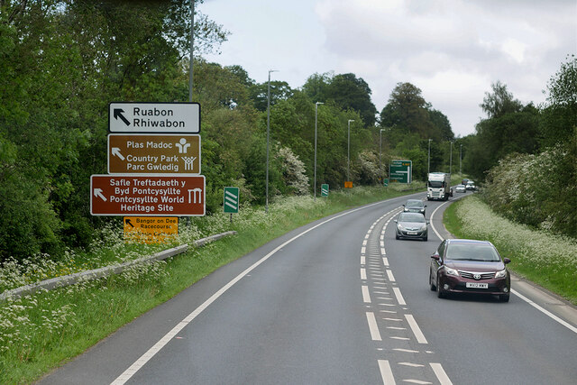
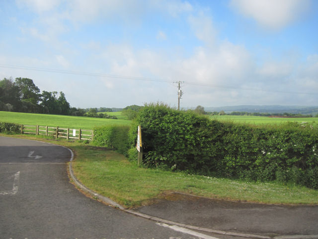
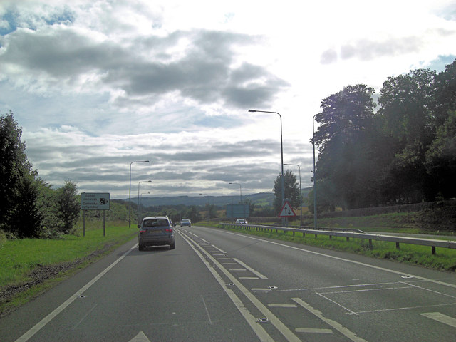
Rhosymedre Images
Images are sourced within 2km of 52.978098/-3.066632 or Grid Reference SJ2842. Thanks to Geograph Open Source API. All images are credited.


Rhosymedre is located at Grid Ref: SJ2842 (Lat: 52.978098, Lng: -3.066632)
Unitary Authority: Wrexham
Police Authority: North Wales
What 3 Words
///calibrate.offline.commuted. Near Ruabon, Wrexham
Nearby Locations
Related Wikis

Rhosymedre Halt railway station
Rhosymedre Halt was a minor railway station on the Great Western Railway's London to Birkenhead main line, serving the mining village of Rhosymedre near...

Rhosymedre
Rhosymedre () is a village within the community of Cefn, in Wrexham County Borough, Wales. The Anglican church, which was consecrated in 1837, is dedicated...
The Rock, Rhosymedre
The Rock is a football stadium based in Rhosymedre, Wales. It is currently the home stadium for Cymru North teams Cefn Druids and Gresford Athletic FC...

Acrefair railway station
Acrefair railway station (Welsh pronunciation: [ˌakrɛˈvɑɪr] ak-REH-vire) was a former station on the Ruabon–Barmouth line in North East Wales. It closed...
Nearby Amenities
Located within 500m of 52.978098,-3.066632Have you been to Rhosymedre?
Leave your review of Rhosymedre below (or comments, questions and feedback).