Cefn Wood
Wood, Forest in Denbighshire
Wales
Cefn Wood
The requested URL returned error: 429 Too Many Requests
If you have any feedback on the listing, please let us know in the comments section below.
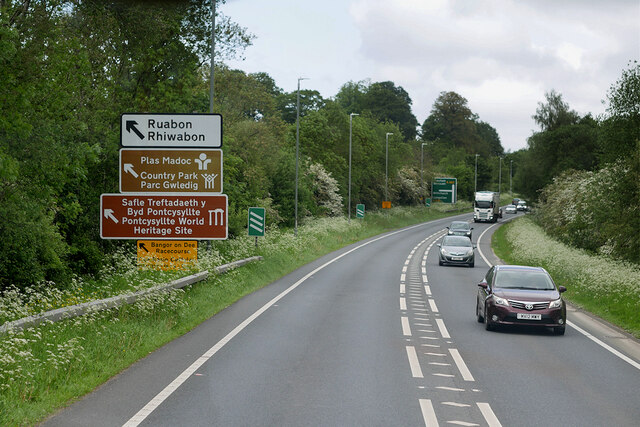
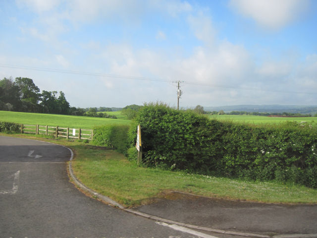
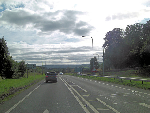
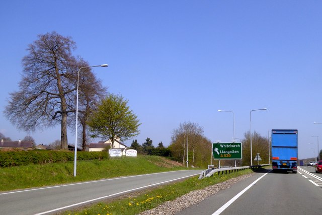
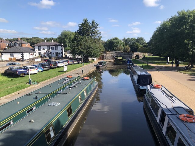
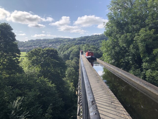
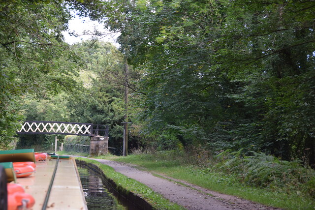
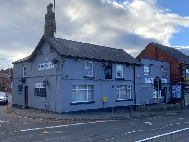
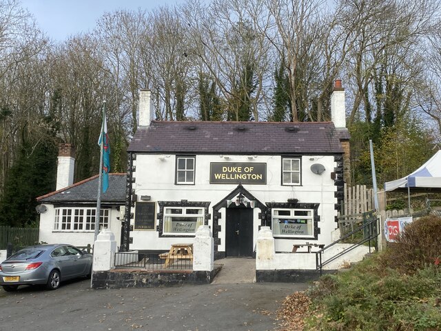
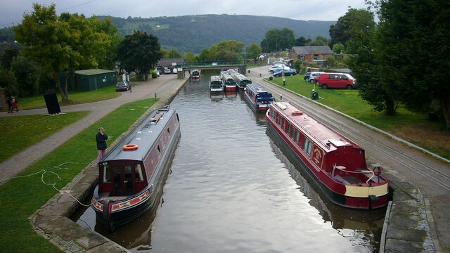
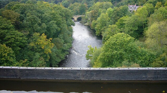
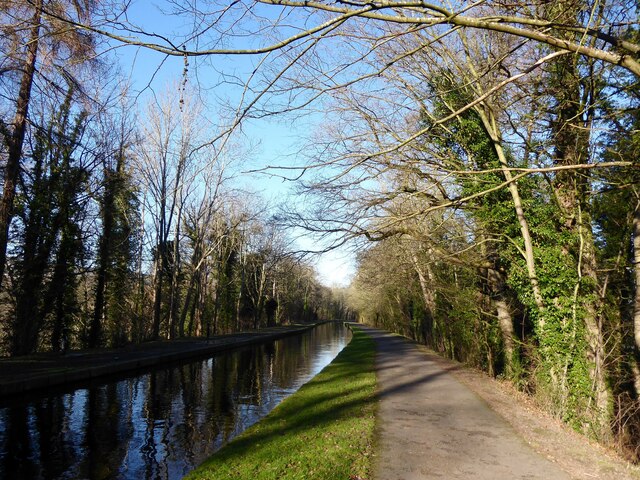
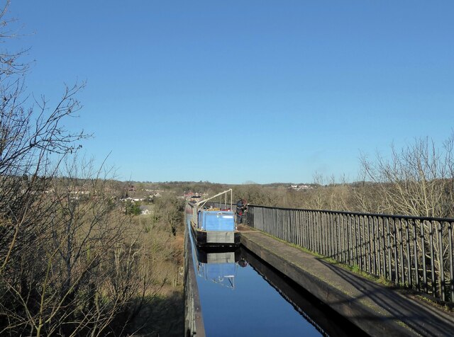
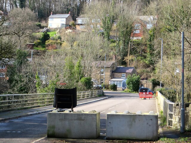
Cefn Wood Images
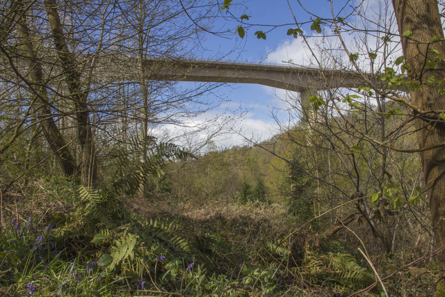
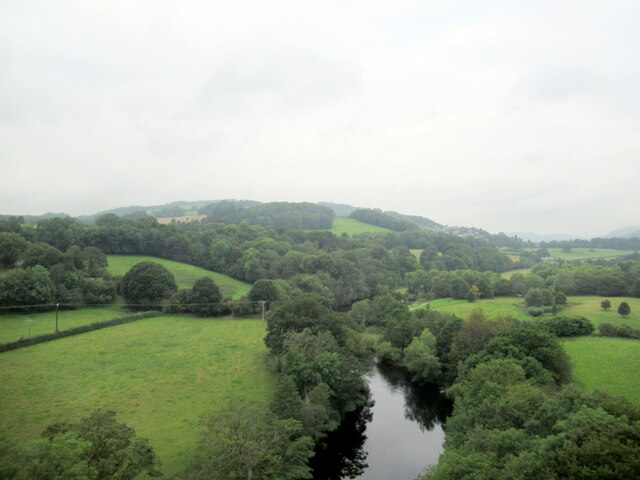
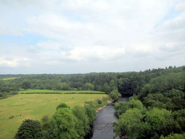
Images are sourced within 2km of 52.971766/-3.0648225 or Grid Reference SJ2842. Thanks to Geograph Open Source API. All images are credited.
Cefn Wood is located at Grid Ref: SJ2842 (Lat: 52.971766, Lng: -3.0648225)
Unitary Authority: Wrexham
Police Authority: North Wales
What 3 Words
///masses.lawn.twilight. Near Ruabon, Wrexham
Nearby Locations
Related Wikis
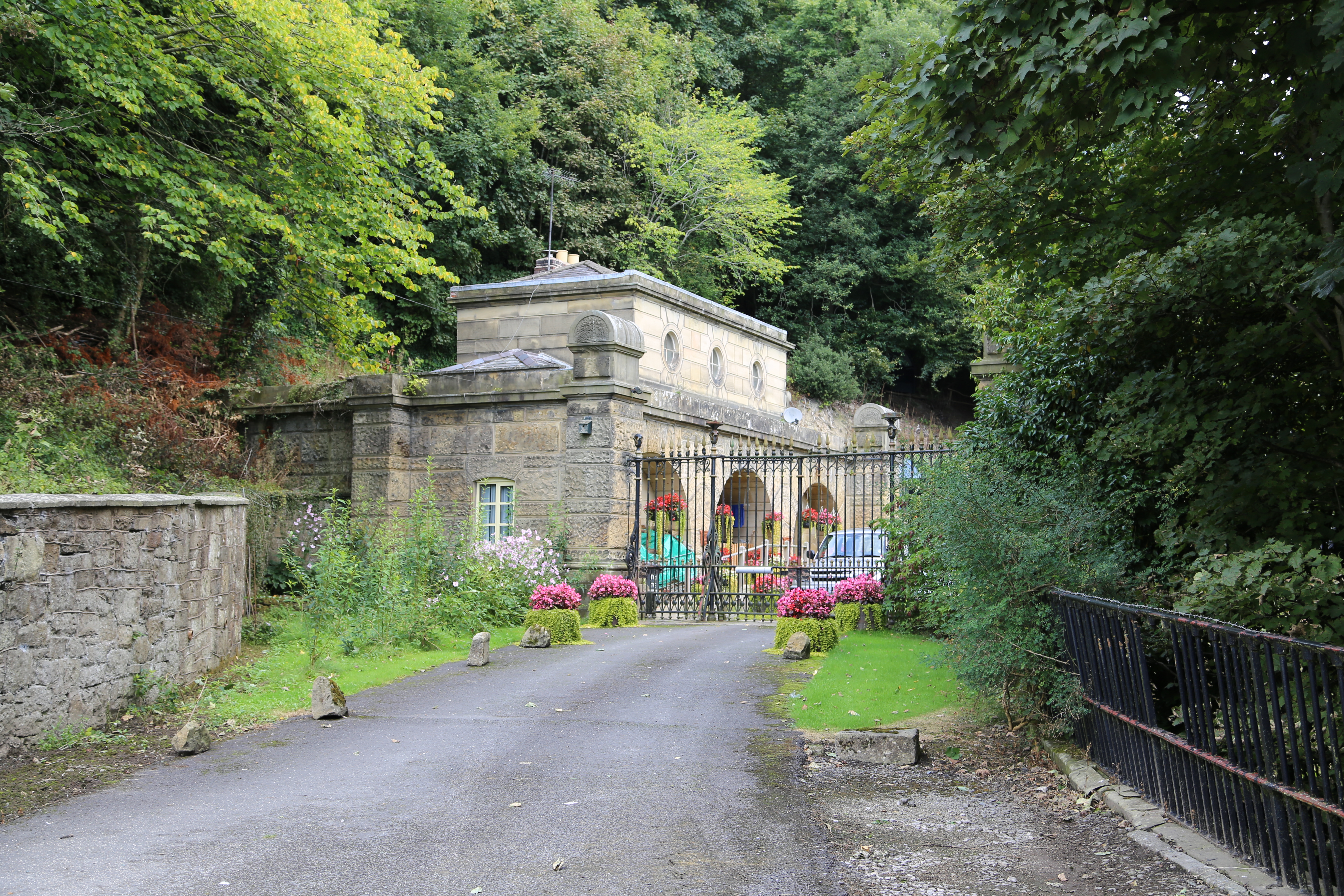
Newbridge Lodge
Newbridge Lodge is a gatehouse to the Wynnstay estate near Ruabon, in Wrexham County Borough, North Wales. Designed by Charles Robert Cockerell in 1827...

Plaskynaston Lane
Plaskynaston Lane is a demolished football stadium in Cefn Mawr, Wrexham, Wales. It was the home stadium of Cefn Druids A.F.C. of the Cymru Alliance. The...
Cefn railway station
Cefn railway station was a minor railway station on the Great Western Railway's London to Birkenhead main line serving the mining village of Cefn Mawr...

Newbridge, Wrexham
Newbridge () is a village in Wrexham County Borough, Wales. The village is within the community of Cefn, to the south-east of Cefn Mawr. Newbridge is bounded...
Nearby Amenities
Located within 500m of 52.971766,-3.0648225Have you been to Cefn Wood?
Leave your review of Cefn Wood below (or comments, questions and feedback).