Curlingpond Wood
Wood, Forest in Roxburghshire
Scotland
Curlingpond Wood
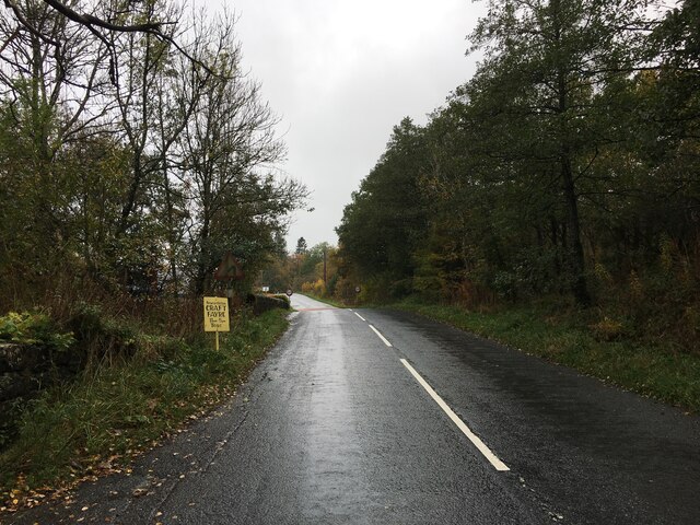
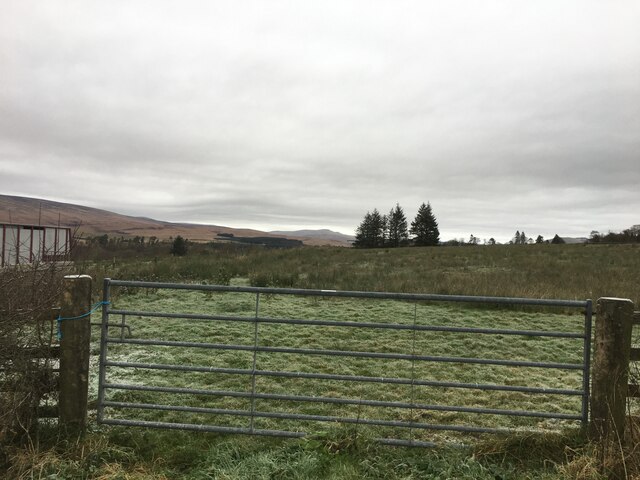
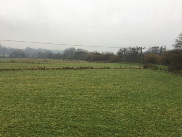
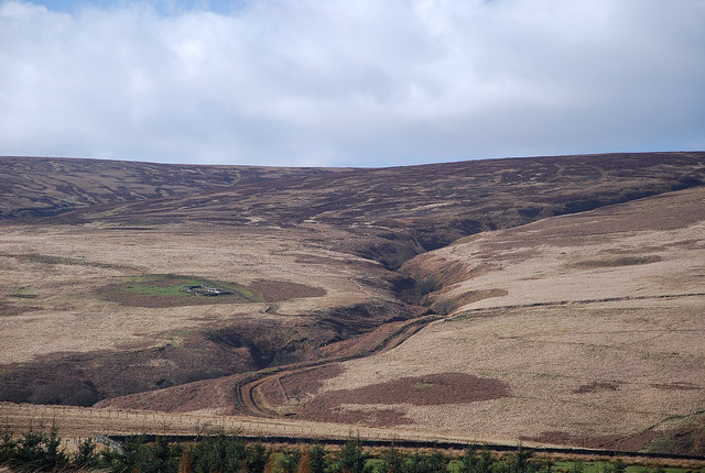
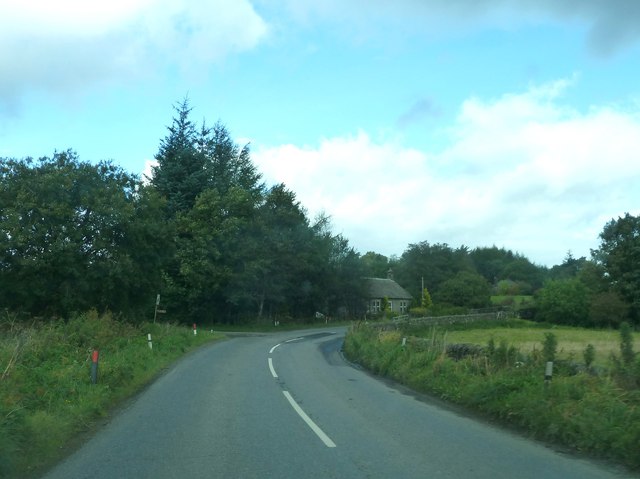
Curlingpond Wood, located in Roxburghshire, is a charming forested area known for its natural beauty and recreational opportunities. Covering an area of approximately 50 hectares, this wood is a popular destination for nature enthusiasts and outdoor enthusiasts alike.
The wood is dominated by a variety of tree species, including oak, birch, and Scots pine, which create a diverse and vibrant ecosystem. The dense canopy provides ample shade during the summer months, making it an ideal spot for picnics or leisurely walks. The forest floor is adorned with a rich carpet of ferns, wildflowers, and mosses, adding to the enchanting atmosphere.
One of the highlights of Curlingpond Wood is its namesake curling pond, which is believed to have been used for the traditional Scottish sport of curling for centuries. This historic pond, nestled within the woodland, is a popular spot for visitors to try their hand at this unique winter sport.
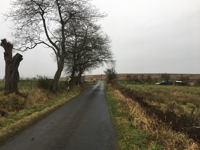
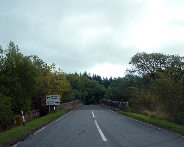
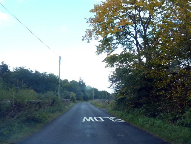
The wood is crisscrossed with a network of well-maintained trails, offering visitors the opportunity to explore the area on foot or by bike. These trails wind through the forest, providing stunning views of the surrounding countryside and allowing visitors to immerse themselves in the peaceful ambiance of nature.
Curlingpond Wood is also home to a variety of wildlife, including red squirrels, roe deer, and a plethora of bird species. Birdwatchers will delight in the chance to spot species such as buzzards, woodpeckers, and crossbills.
Overall, Curlingpond Wood is a picturesque and diverse woodland, offering visitors the chance to connect with nature, engage in outdoor activities, and appreciate the natural wonders of Roxburghshire.
If you have any feedback on the listing, please let us know in the comments section below.
Curlingpond Wood Images
Images are sourced within 2km of 55.190371/-2.8082142 or Grid Reference NY4888. Thanks to Geograph Open Source API. All images are credited.


Curlingpond Wood is located at Grid Ref: NY4888 (Lat: 55.190371, Lng: -2.8082142)
Unitary Authority: The Scottish Borders
Police Authority: The Lothians and Scottish Borders
What 3 Words
///save.ambition.intestine. Near Langholm, Dumfries & Galloway
Nearby Locations
Related Wikis

Newcastleton railway station
Newcastleton railway station served the village of Newcastleton, Scottish Borders, Scotland from 1862 to 1969 on the Border Union Railway. == History... ==

Castleton, Scottish Borders
Castleton (Scottish Gaelic: Baile Chaisteil) is a civil parish in the Scottish Borders area of Scotland, in the former Roxburghshire, in the extreme south...

Newcastleton
Newcastleton, also called Copshaw Holm, is a village in Liddesdale, the Scottish Borders, a few miles from the border with England, on the Liddel Water...

Liddel Castle
Liddel Castle is a ruined castle in Liddesdale, by the Liddel Water, near Castleton in the Scottish Borders area of Scotland, in the former county of Roxburghshire...

Ettleton
Ettleton is a village near Castleton, in the Scottish Borders area of Scotland, in the former Roxburghshire. == Etymology and history == Ettleton Parish...

Mangerton Tower
Mangerton Tower is a ruined Scottish tower castle house formerly belonging to the Armstrong family. Mangerton Tower is at Mangerton in Newcastleton or...
Dinlabyre
Dinlabyre is a village on the B6357 in Liddesdale, on the edge of the Newcastleton Forest, close to Castleton, in the Scottish Borders area of Scotland...
Steele Road railway station
Steele Road railway station served the hamlet of Steele Road, Scottish Borders, Scotland, from 1862 to 1969 on the Border Union Railway. == History... ==
Nearby Amenities
Located within 500m of 55.190371,-2.8082142Have you been to Curlingpond Wood?
Leave your review of Curlingpond Wood below (or comments, questions and feedback).