Drem Ride
Wood, Forest in East Lothian
Scotland
Drem Ride
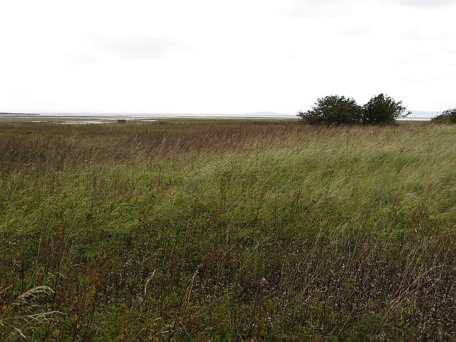
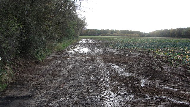
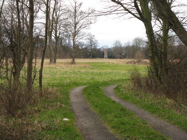
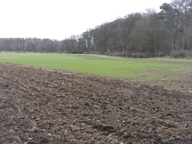
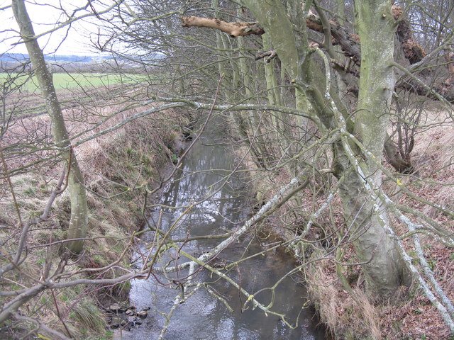
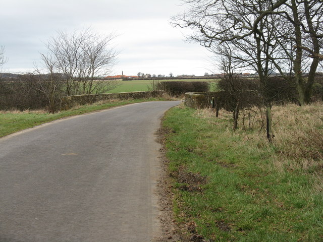
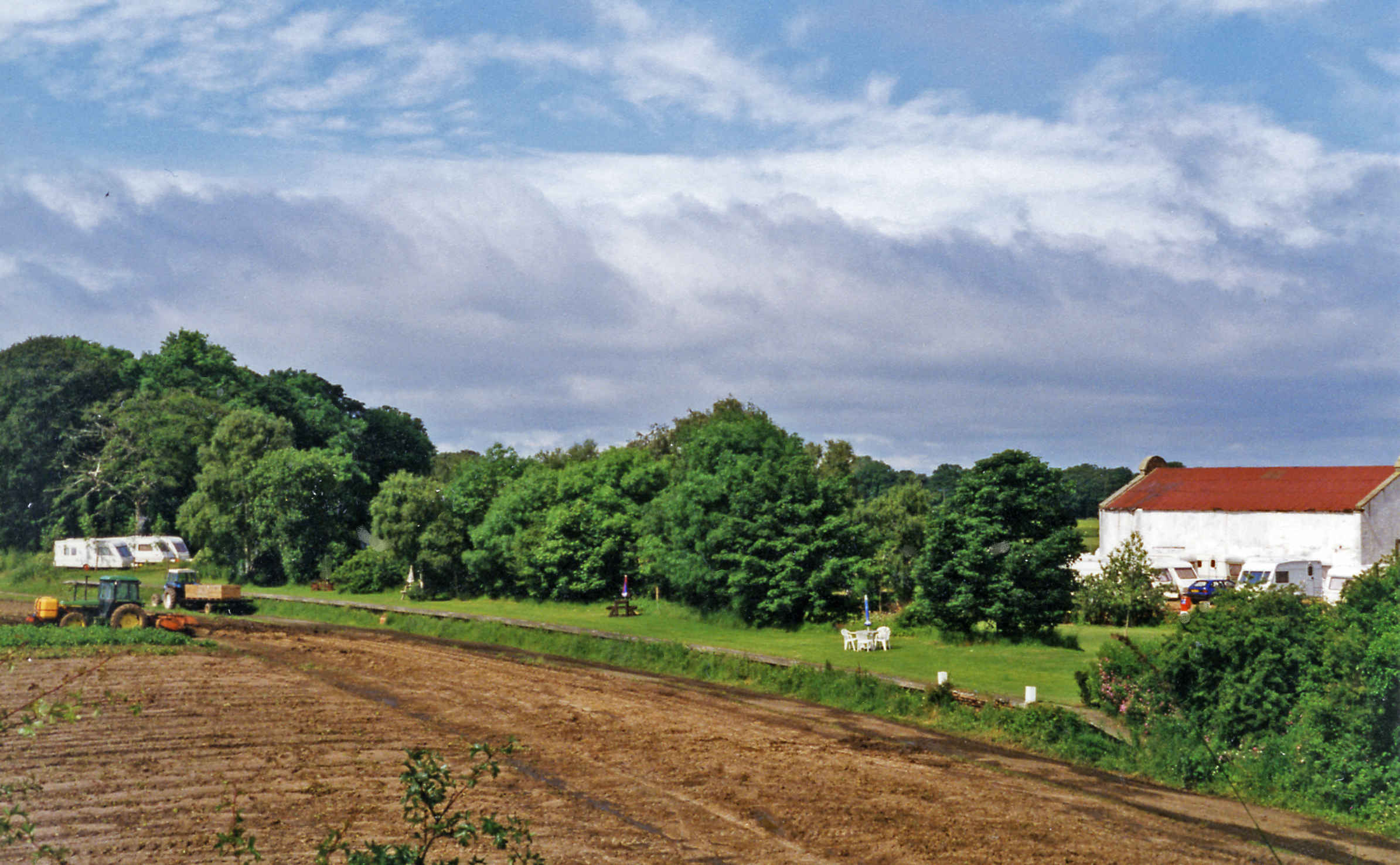
Drem Ride is a picturesque wood located in East Lothian, Scotland. Nestled amidst the rolling countryside, this enchanting forest covers an area of approximately 100 acres and offers visitors a tranquil escape from the hustle and bustle of everyday life.
The wood is characterized by its diverse range of tree species, including towering oak, elegant beech, and majestic Scots pine. The dense canopy provides a cool and shady refuge during the summer months, while the forest floor is carpeted with a rich tapestry of wildflowers and ferns.
Drem Ride is a haven for wildlife, attracting an array of species that call this woodland home. Visitors may spot red squirrels, roe deer, and even the elusive pine marten. The melodious songs of woodland birds, such as the great tit and chaffinch, fill the air, adding to the natural symphony of the forest.
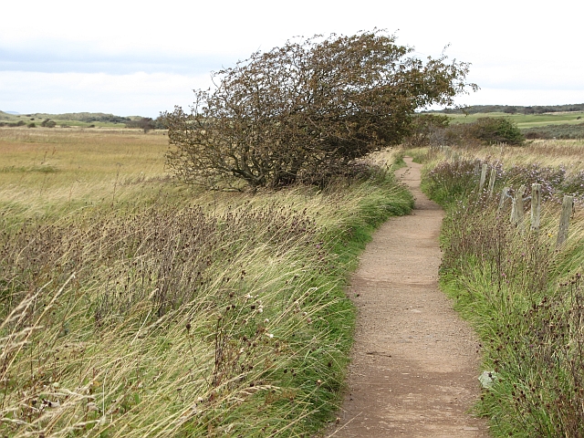
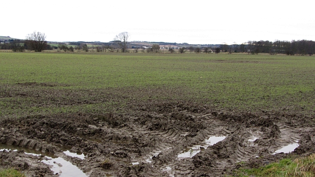
Several well-maintained paths wind their way through the wood, allowing visitors to explore its hidden corners. Walking along these trails, one can discover charming glades, babbling brooks, and ancient stone walls that stand as reminders of the area's rich history.
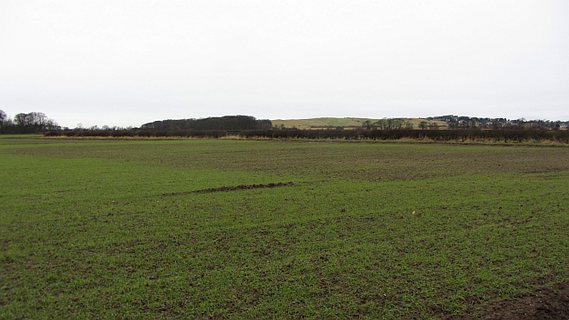
The wood is also a popular destination for outdoor enthusiasts and nature lovers. It offers opportunities for hiking, birdwatching, and photography, allowing visitors to immerse themselves in the beauty of the natural surroundings.
Drem Ride is easily accessible, with ample parking available nearby. Whether seeking solace in nature or simply wanting to explore the outdoors, this wood provides a captivating and rejuvenating experience for all who venture within its leafy embrace.
If you have any feedback on the listing, please let us know in the comments section below.
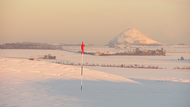
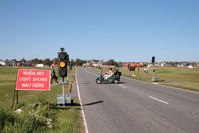
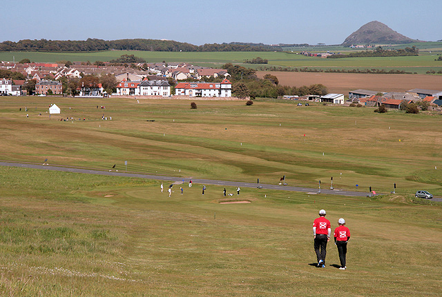
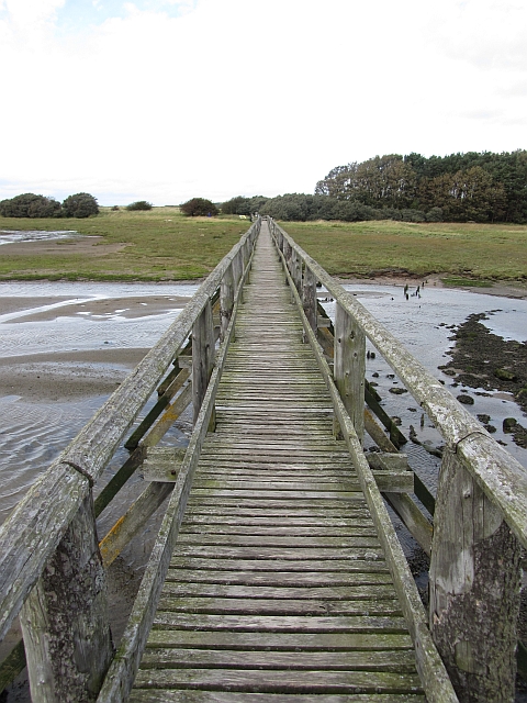
Drem Ride Images
Images are sourced within 2km of 56.014785/-2.8264889 or Grid Reference NT4880. Thanks to Geograph Open Source API. All images are credited.
Drem Ride is located at Grid Ref: NT4880 (Lat: 56.014785, Lng: -2.8264889)
Unitary Authority: East Lothian
Police Authority: The Lothians and Scottish Borders
What 3 Words
///response.shuffle.foreheads. Near Aberlady, East Lothian
Nearby Locations
Related Wikis

Luffness
Luffness is a hamlet in East Lothian, Scotland. It lies between the towns of Gullane and Aberlady and is approximately 20 miles east of Edinburgh. ��2...

Luffness Platform railway station
Luffness Platform (also known as Luffness Golf Club Halt) served a golf course near Gullane in Scotland. It was served by the Aberlady, Gullane and North...

Luffness Castle
Luffness Castle, also known as Luffness House, is a house built in a former fortification near the village of Aberlady, East Lothian, Scotland. ��2�...

Saltcoats Castle
Saltcoats Castle is a courtyard castle dating from the sixteenth century, about .5 miles (0.80 km) south of Gullane in East Lothian, Scotland. It is designated...
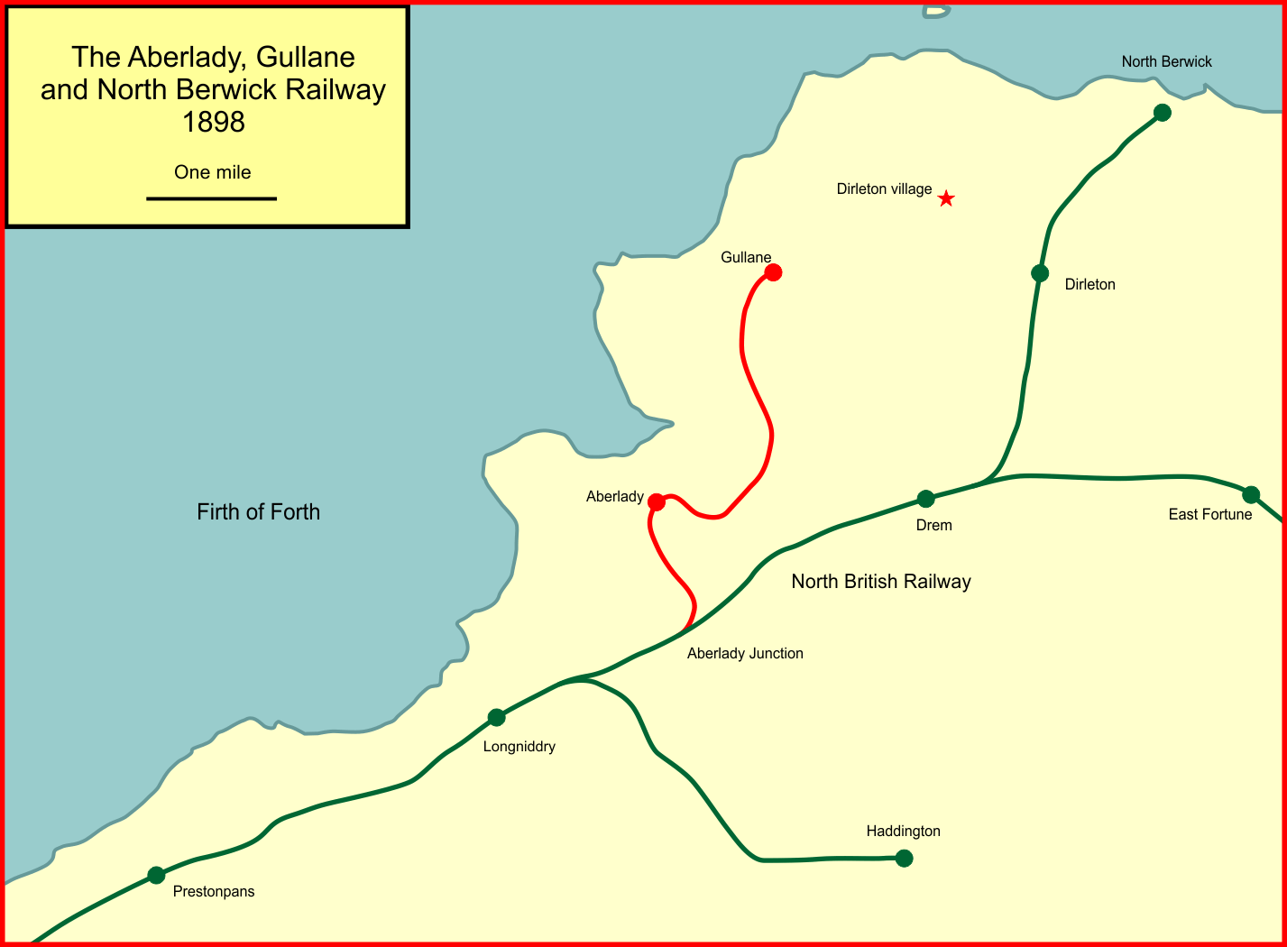
Aberlady, Gullane and North Berwick Railway
The Aberlady, Gullane and North Berwick Railway was promoted independently to develop settlements between Longniddry and North Berwick in East Lothian...
Aberlady railway station
Aberlady railway station served the village of Aberlady in Scotland. It was served by the Aberlady, Gullane and North Berwick railway. This line diverged...
Aberlady
Aberlady (Scots: Aiberleddy, Gaelic: Obar Lobhaite) is a coastal village in the Scottish council area of East Lothian. The village had an estimated population...
RAF Drem
Royal Air Force Drem, or more simply RAF Drem, is a former Royal Air Force station, just north of the village of Drem in East Lothian, Scotland. The motto...
Nearby Amenities
Located within 500m of 56.014785,-2.8264889Have you been to Drem Ride?
Leave your review of Drem Ride below (or comments, questions and feedback).