Avenue Strip

Wood, Forest in East Lothian

Scotland

Avenue Strip

Aberlady Bay from the coastal road The lane on the left leads to Kilspindie Golf Club, and the Fife coast is in view across the Firth of Forth.
Aberlady Bay from the coastal road Credit: Jim Barton

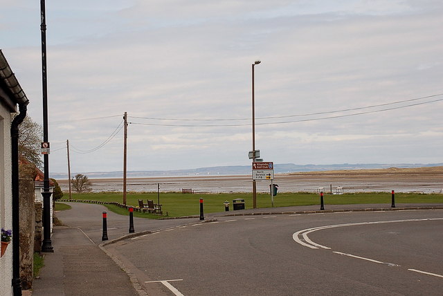
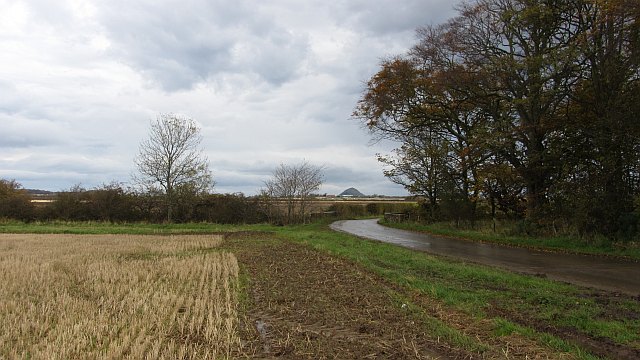
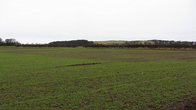
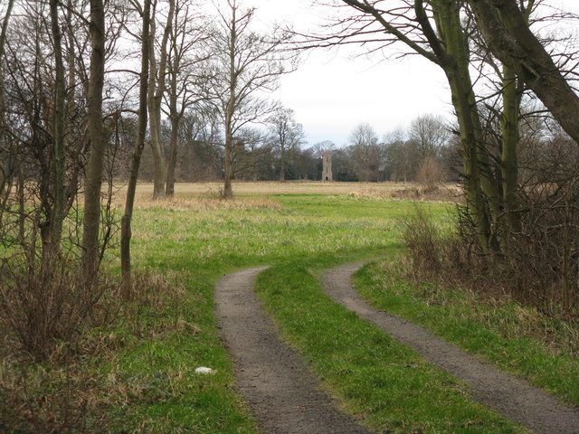
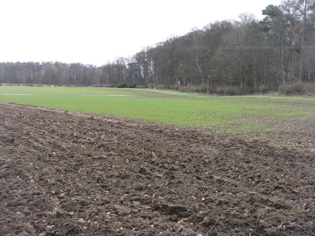
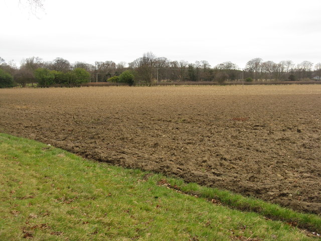
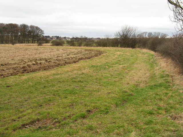
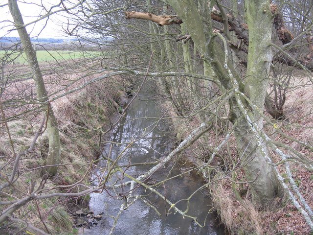
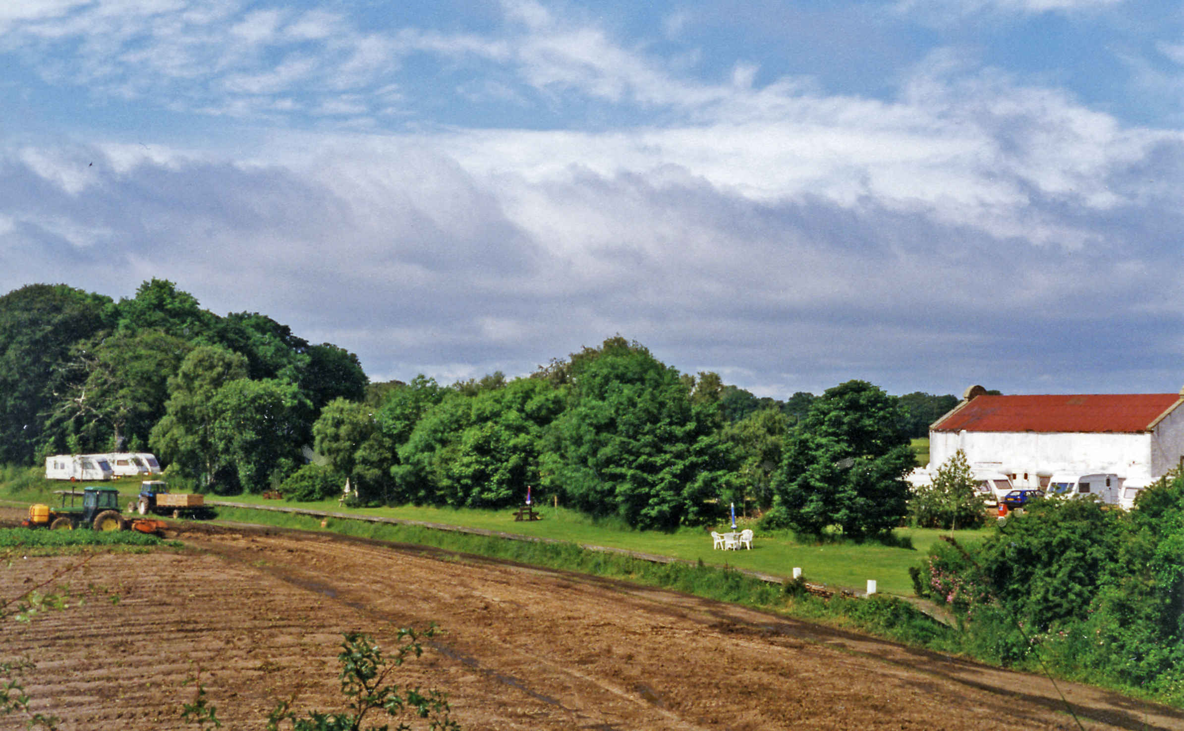
Avenue Strip, located in East Lothian, Scotland, is a picturesque wood and forest area that offers a tranquil and scenic escape for nature lovers. Stretching over several acres, this enchanting woodland boasts a diverse range of flora and fauna, making it a popular destination for hikers, birdwatchers, and outdoor enthusiasts.

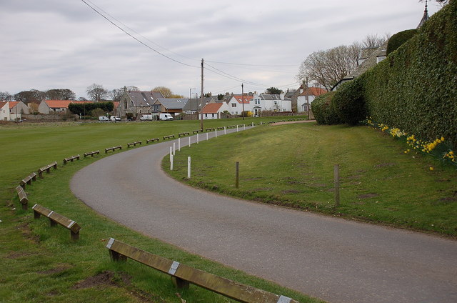
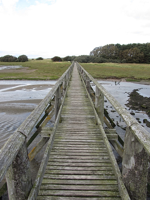
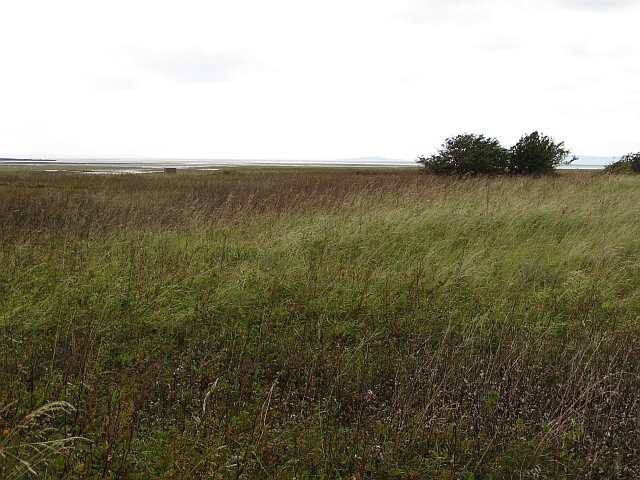
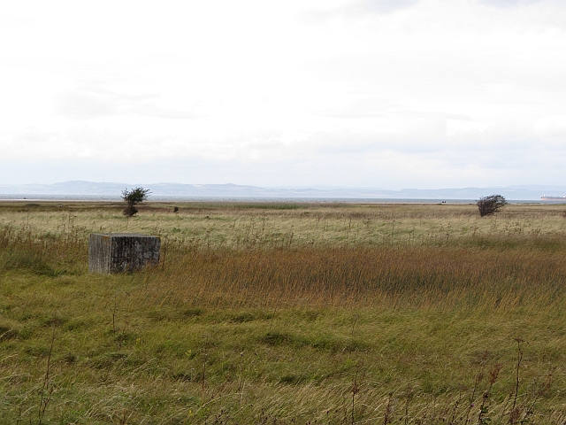
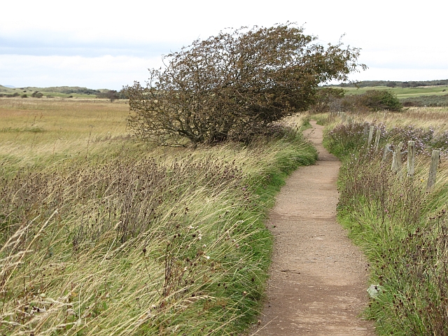
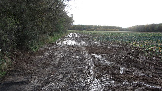
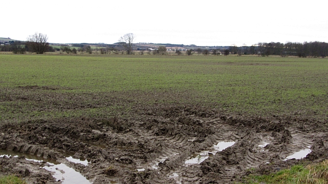
The forest is characterized by its well-maintained walking trails, which wind through towering trees and offer stunning views of the surrounding landscape. As visitors wander along the paths, they are treated to the sight of vibrant wildflowers, moss-covered rocks, and a variety of native wildlife, such as red squirrels, deer, and numerous bird species.

Avenue Strip is particularly renowned for its ancient trees, some of which are believed to be several hundred years old. These majestic giants, including oak, beech, and birch trees, create a magical atmosphere and provide a shady canopy during the summer months.

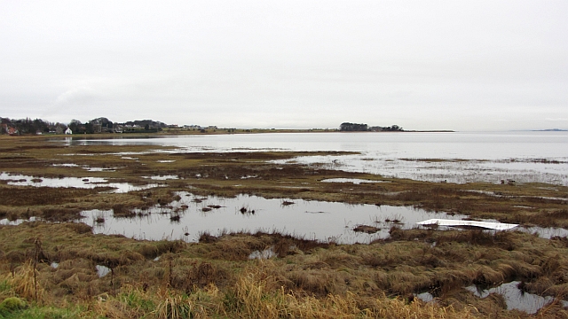
Moreover, the woodland is home to a range of habitats, including wetlands and open clearings, which support a diverse ecosystem. This allows for a rich biodiversity and provides opportunities for nature enthusiasts to observe and learn about different plant and animal species.

In addition to its natural beauty, Avenue Strip offers various recreational activities for visitors to enjoy. Picnic areas with benches and tables are scattered throughout the forest, providing perfect spots for families and friends to relax and enjoy a meal amidst the serene surroundings.

Overall, Avenue Strip in East Lothian is a stunning wood and forest area that offers a delightful escape from the hustle and bustle of everyday life. With its captivating scenery, diverse wildlife, and recreational amenities, it is a must-visit destination for nature enthusiasts seeking a peaceful retreat.

If you have any feedback on the listing, please let us know in the comments section below.

Avenue Strip Images

Images are sourced within 2km of 56.010641/-2.8347564 or Grid Reference NT4880. Thanks to Geograph Open Source API. All images are credited.

Aberlady Bay from the coastal road The lane on the left leads to Kilspindie Golf Club, and the Fife coast is in view across the Firth of Forth.
Aberlady Bay from the coastal road
The lane on the left leads to Kilspindie Golf Club, and the Fife coast is in view across the Firth of Forth.
Seafront houses, Aberlady Seen from the road to Kilspindie Golf Club.
Seafront houses, Aberlady
Seen from the road to Kilspindie Golf Club.
Information board, the Port of Aberlady Aberlady was a port in the 16th century, with a last known shipment in 1875. Since then the bay has silted up, precluding its use as a port, but leaving an area of tidal sands that attracts wading birds. The artist’s impression shows the port as it would have looked c. 1560.


The first paragraph of smaller print reads:

"The construction of a harbour at Aberlady was commissioned in 1535. The port building and custom house – ‘the Town of Haddington’s House’ – was commissioned one year later. Timber, tanning oil, linseed cake and guano were primary imports while large amounts of wool, hides and grain were exported."
Information board, the Port of Aberlady
Aberlady was a port in the 16th century, with a last known shipment in 1875. Since then the bay has silted up, precluding its use as a port, but leaving an area of tidal sands that attracts wading birds. The artist’s impression shows the port as it would have looked c. 1560. The first paragraph of smaller print reads: "The construction of a harbour at Aberlady was commissioned in 1535. The port building and custom house – ‘the Town of Haddington’s House’ – was commissioned one year later. Timber, tanning oil, linseed cake and guano were primary imports while large amounts of wool, hides and grain were exported."
Aberlady footbridge The wooden bridge which crosses the tidal Peffer Burn at Aberlady Bay.
Aberlady footbridge
The wooden bridge which crosses the tidal Peffer Burn at Aberlady Bay.
Rough ground, Aberlady Bay Very rough ground beside the Peffer Burn. It is a mass of seed heads from summer flowers and a rich source of food for finches.
Rough ground, Aberlady Bay
Very rough ground beside the Peffer Burn. It is a mass of seed heads from summer flowers and a rich source of food for finches.
Yellow Mires An extensive wetland expanse by Aberlady Bay. One of the World War II anti tank blocks can be seen.
Yellow Mires
An extensive wetland expanse by Aberlady Bay. One of the World War II anti tank blocks can be seen.
Path, Aberlady Bay A popular and well surfaced path to the beach by Gullane Point.
Path, Aberlady Bay
A popular and well surfaced path to the beach by Gullane Point.
Stubble, Luffness A few years ago, this was like a big lawn as the field was used for growing turf.
Stubble, Luffness
A few years ago, this was like a big lawn as the field was used for growing turf.
Minor road, Luffness A wet and muddy road with stubble to the north and a vegetable crop to the south. The view is towards North Berwick Law.
Minor road, Luffness
A wet and muddy road with stubble to the north and a vegetable crop to the south. The view is towards North Berwick Law.
Mud Beside Hatty's Plantation, a large expanse of mud left after the cabbages have been lifted.
Mud
Beside Hatty's Plantation, a large expanse of mud left after the cabbages have been lifted.
High water, Aberlady Bay A spring high water briefly covers the mud flats.
High water, Aberlady Bay
A spring high water briefly covers the mud flats.
Arable land, Park Hills Farmland around some surviving buildings from RAF Drem.
Arable land, Park Hills
Farmland around some surviving buildings from RAF Drem.
Arable land, Park Hills Flat ground with sandy soils. There are buildings remaining here from RAF Drem, a Spitfire base in World War II.
Arable land, Park Hills
Flat ground with sandy soils. There are buildings remaining here from RAF Drem, a Spitfire base in World War II.
Water tower at Luffness Seen from the Avenue Road shelter belt.
Water tower at Luffness
Seen from the Avenue Road shelter belt.
Winter cereal at Floors Strip By the side of Avenue Road from Luffness Mains to Gullane Links.
Winter cereal at Floors Strip
By the side of Avenue Road from Luffness Mains to Gullane Links.
Ploughed field by Avenue Road
Rough field by the Peffer Burn Looking north towards Gullane.
Rough field by the Peffer Burn
Looking north towards Gullane.
The Peffer Burn flows past Hatty's Plantation In less than 3 km it will be in Aberlady Bay.
The Peffer Burn flows past Hatty's Plantation
In less than 3 km it will be in Aberlady Bay.
Show me another place!

Avenue Strip is located at Grid Ref: NT4880 (Lat: 56.010641, Lng: -2.8347564)

Unitary Authority: East Lothian

Police Authority: The Lothians and Scottish Borders

What 3 Words

///meatball.submerge.hence. Near Aberlady, East Lothian

Related Wikis

Nearby Amenities

Located within 500m of 56.010641,-2.8347564
Power: pole
Lat/Long: 56.0078031/-2.8297209
Power: pole
Lat/Long: 56.0084184/-2.8305085
Power: pole
Lat/Long: 56.0092233/-2.830968
Power: pole
Lat/Long: 56.0100159/-2.8314034
Power: pole
Lat/Long: 56.0108097/-2.8318739
Power: pole
Lat/Long: 56.012187/-2.8326003
Power: pole
Lat/Long: 56.0128292/-2.8329307
Power: pole
Lat/Long: 56.0134847/-2.8332567
Power: pole
Lat/Long: 56.01495/-2.8339897
Power: pole
Lat/Long: 56.0084966/-2.8299025
Power: pole
Lat/Long: 56.0085749/-2.8293139
Power: pole
Lat/Long: 56.0086728/-2.8286115
Power: pole
Lat/Long: 56.008789/-2.8278217
The data included in this document is from www.openstreetmap.org. The data is made available under ODbL.

Have you been to Avenue Strip?

Leave your review of Avenue Strip below (or comments, questions and feedback).