Fenton Clump
Wood, Forest in East Lothian
Scotland
Fenton Clump

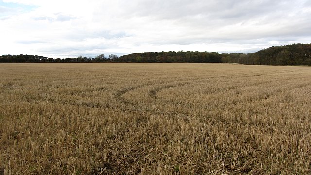
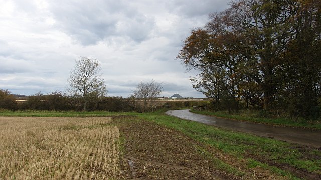
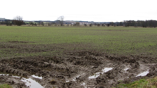
Fenton Clump, located in East Lothian, Scotland, is a picturesque wood or forest area that covers approximately 50 acres of land. Situated near the village of East Linton, Fenton Clump is a popular destination for nature enthusiasts, hikers, and those seeking tranquility amidst the natural beauty of the countryside.
The woodland is predominantly composed of native broadleaf trees, including oak, birch, and beech, which create a dense canopy and provide a habitat for a variety of wildlife. The forest floor is adorned with a rich tapestry of wildflowers, ferns, and mosses, adding to its enchanting appeal.
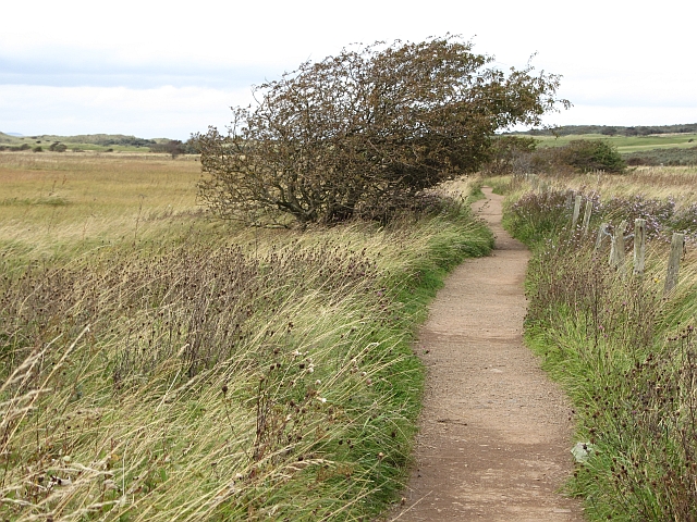
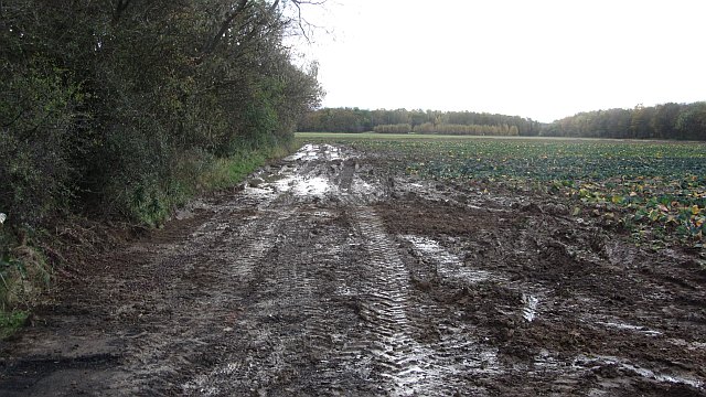
Fenton Clump offers a network of well-maintained trails that wind their way through the forest, providing visitors with the opportunity to explore the area and discover its hidden gems. The trails vary in difficulty, catering to both experienced hikers and families with young children. Along the way, there are numerous benches and picnic areas, allowing visitors to rest and enjoy a peaceful lunch surrounded by nature.
The forest is home to a diverse range of wildlife, including deer, foxes, badgers, and a plethora of bird species. Birdwatchers can spot woodpeckers, owls, and various songbirds, while those with a keen eye may even catch a glimpse of red squirrels darting through the treetops.
In addition to its natural beauty, Fenton Clump also has historical significance. It is believed to have been part of the estate of Fenton Tower, a nearby 16th-century castle. The wood's timeless atmosphere and ancient trees contribute to a sense of stepping back in time.
Overall, Fenton Clump is a captivating woodland retreat that offers a perfect blend of tranquility, natural beauty, and exploration for all who visit.
If you have any feedback on the listing, please let us know in the comments section below.
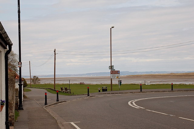
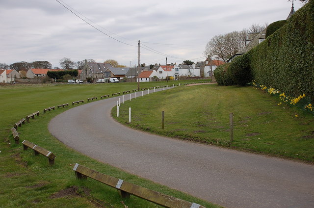
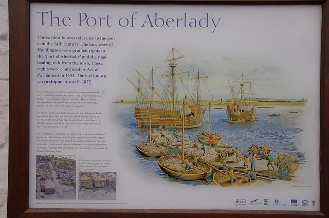
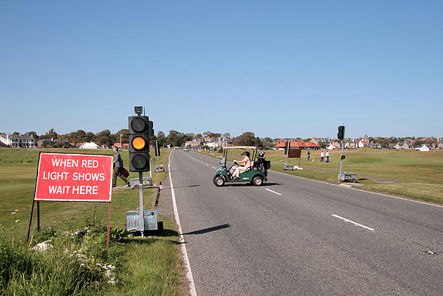
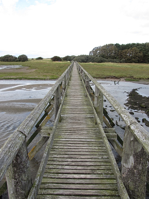
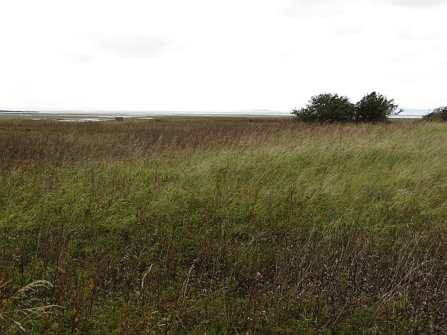
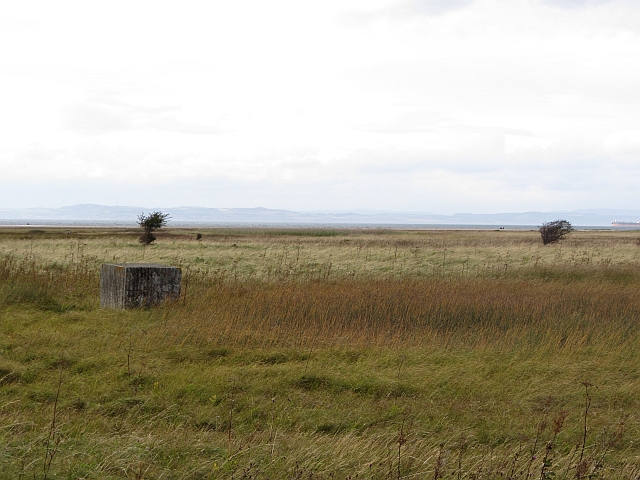
Fenton Clump Images
Images are sourced within 2km of 56.016219/-2.8336577 or Grid Reference NT4880. Thanks to Geograph Open Source API. All images are credited.


Fenton Clump is located at Grid Ref: NT4880 (Lat: 56.016219, Lng: -2.8336577)
Unitary Authority: East Lothian
Police Authority: The Lothians and Scottish Borders
What 3 Words
///cake.cultivation.bandwagon. Near Aberlady, East Lothian
Nearby Locations
Related Wikis

Luffness
Luffness is a hamlet in East Lothian, Scotland. It lies between the towns of Gullane and Aberlady and is approximately 20 miles east of Edinburgh. ��2...

Luffness Castle
Luffness Castle, also known as Luffness House, is a house built in a former fortification near the village of Aberlady, East Lothian, Scotland. ��2�...

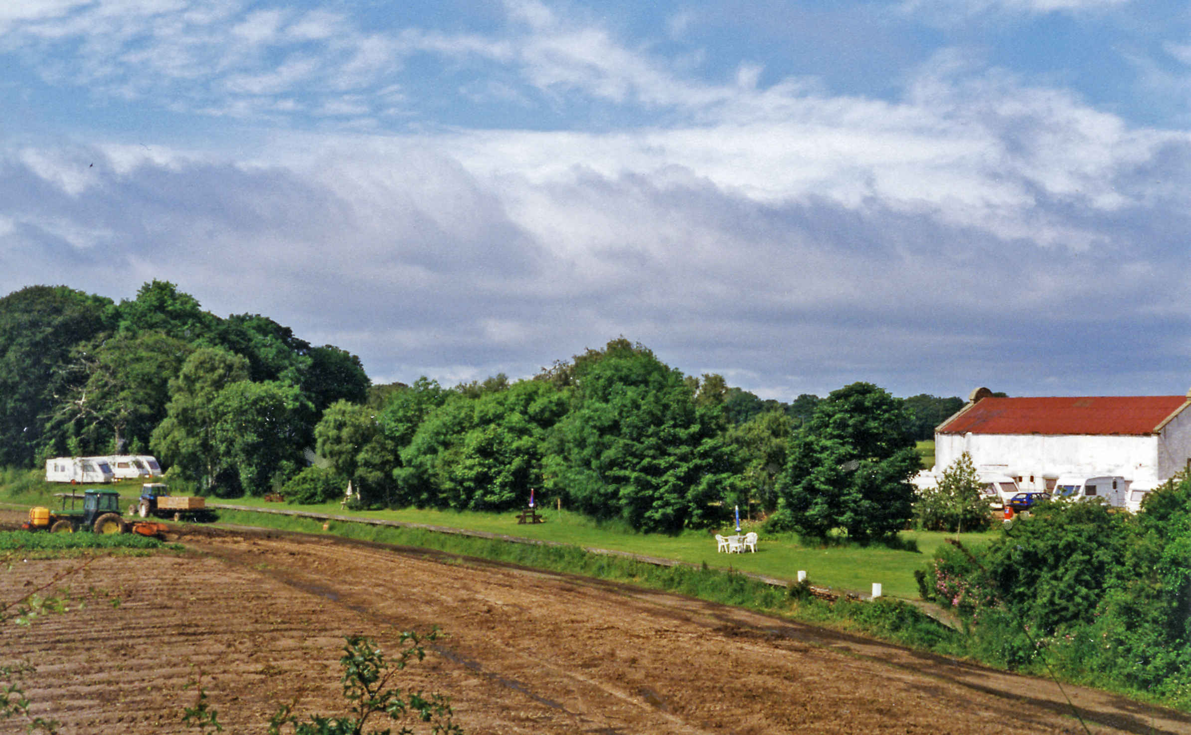
Luffness Platform railway station
Luffness Platform (also known as Luffness Golf Club Halt) served a golf course near Gullane in Scotland. It was served by the Aberlady, Gullane and North...

Saltcoats Castle
Saltcoats Castle is a courtyard castle dating from the sixteenth century, about .5 miles (0.80 km) south of Gullane in East Lothian, Scotland. It is designated...
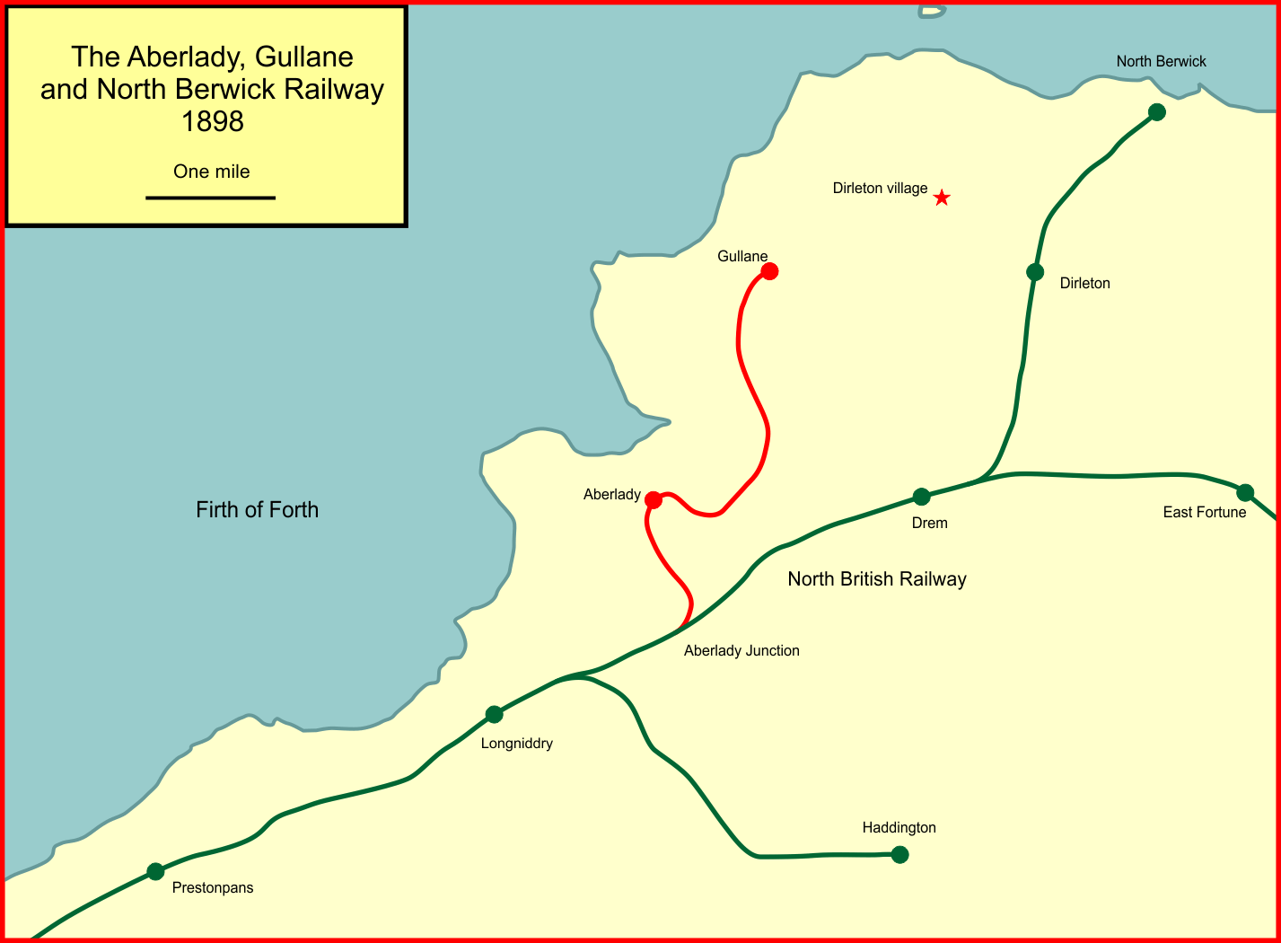
Aberlady, Gullane and North Berwick Railway
The Aberlady, Gullane and North Berwick Railway was promoted independently to develop settlements between Longniddry and North Berwick in East Lothian...
Aberlady railway station
Aberlady railway station served the village of Aberlady in Scotland. It was served by the Aberlady, Gullane and North Berwick railway. This line diverged...
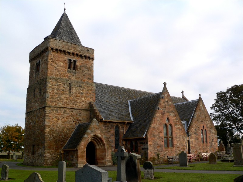
Aberlady
Aberlady (Scots: Aiberleddy, Gaelic: Obar Lobhaite) is a coastal village in the Scottish council area of East Lothian. The village had an estimated population...

Kilspindie Castle
Kilspindie Castle lies north of the village of Aberlady, in East Lothian, Scotland; the remains of the castle are behind the Victorian St Mary's Kirk....
Nearby Amenities
Located within 500m of 56.016219,-2.8336577Have you been to Fenton Clump?
Leave your review of Fenton Clump below (or comments, questions and feedback).