Linn Plantation

Wood, Forest in Roxburghshire

Scotland

Linn Plantation

Groundistone Moss Dawn on the A7 with an old alignment of the road in the foreground.
Groundistone Moss Credit: Richard Webb

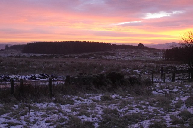
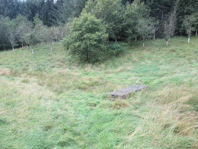
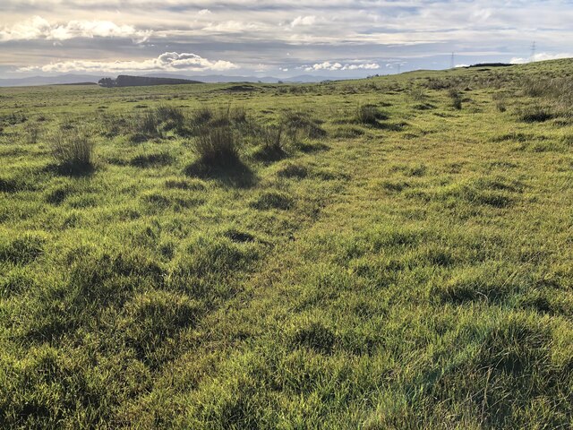
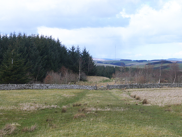
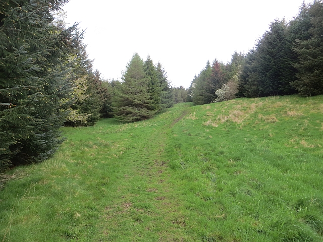
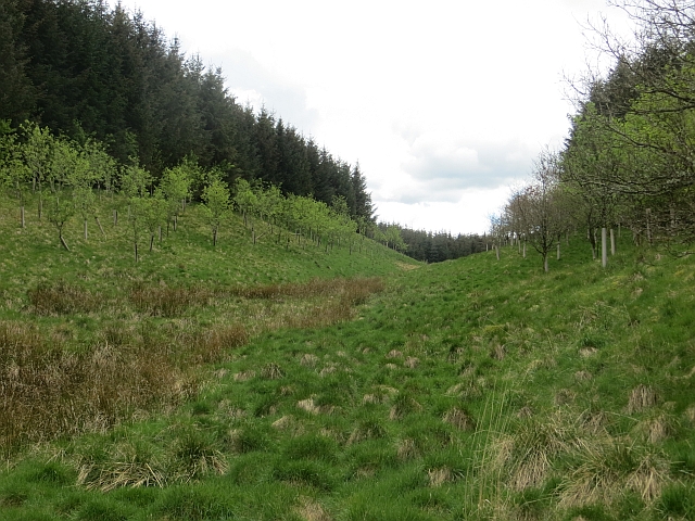
Linn Plantation, located in Roxburghshire, is a picturesque woodland area that spans across a vast expanse of land. Situated in the scenic Scottish Borders region, this forested terrain offers visitors an idyllic retreat amidst nature's bounty. The plantation is renowned for its rich biodiversity, comprising a variety of tree species, including oak, beech, Scots pine, and birch.

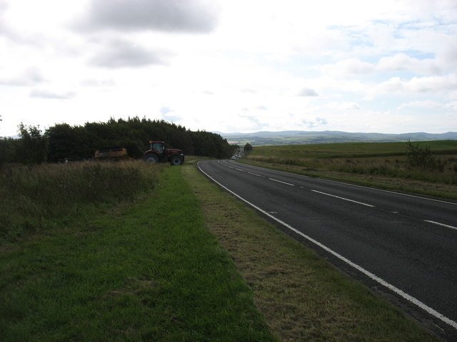
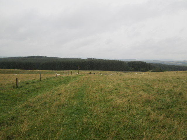
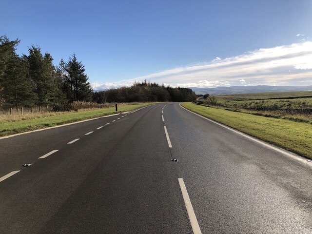
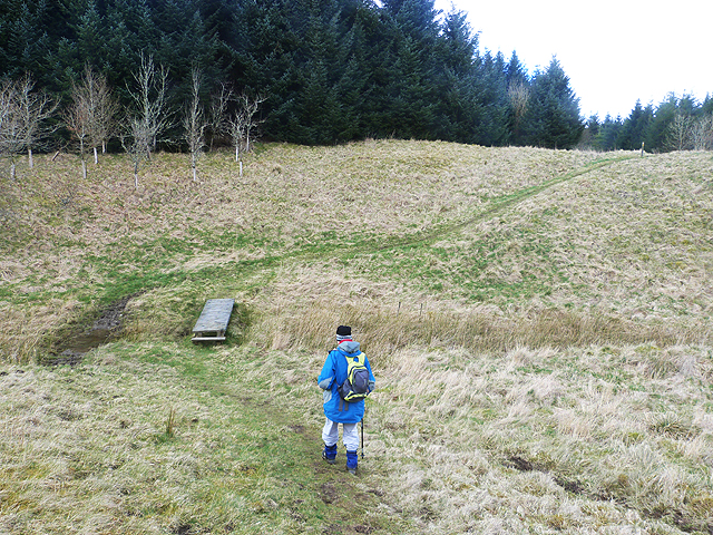
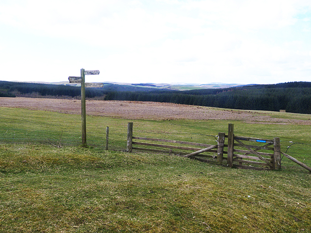
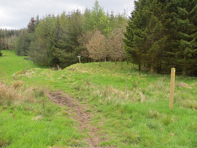
Covering an area of approximately 200 hectares, Linn Plantation features well-maintained trails that wind through the enchanting woodlands, making it an excellent destination for walking, hiking, and exploring. The paths are thoughtfully laid out, enabling visitors to navigate the terrain easily while enjoying the serene atmosphere.

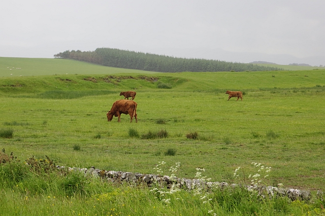
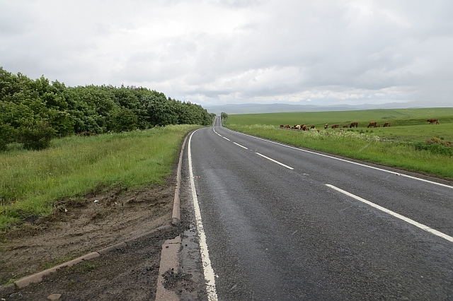
The plantation is also home to a diverse range of wildlife. Bird enthusiasts can rejoice as they spot various avian species, including owls, woodpeckers, and pheasants, among others. Additionally, the forest harbors an array of mammals such as foxes, deer, and badgers, adding to the allure of this natural haven.

Linn Plantation offers more than just natural beauty; it also boasts historical significance. The remains of an ancient fortification, known as Linn Fort, can be found within the plantation. These remnants serve as a testament to the area's historical past, adding an element of intrigue and fascination for history enthusiasts.

Overall, Linn Plantation in Roxburghshire is a captivating woodland retreat that combines natural beauty, wildlife diversity, and historical significance. Whether seeking a peaceful stroll, birdwatching opportunities, or a glimpse into Scotland's past, this plantation offers a delightful experience for all nature lovers and history aficionados.

If you have any feedback on the listing, please let us know in the comments section below.

Linn Plantation Images

Images are sourced within 2km of 55.479648/-2.8189517 or Grid Reference NT4820. Thanks to Geograph Open Source API. All images are credited.

Groundistone Moss Dawn on the A7 with an old alignment of the road in the foreground.
Groundistone Moss
Dawn on the A7 with an old alignment of the road in the foreground.
The A7 heading for Hawick
Borders Abbeys  Way  approaching  gate  and  fingerpost Through gate and head for forestry. This is also the route of the Cross Borders Drove Road
Borders Abbeys Way approaching gate and fingerpost
Through gate and head for forestry. This is also the route of the Cross Borders Drove Road
Footbridge  over  stream  in  Falla  Cleuch
Footbridge over stream in Falla Cleuch
Borders  Abbeys  Way  in  Ashkirk  Forest
Borders Abbeys Way in Ashkirk Forest
Pond  and  newly  resurfaced  forest  track Constant traffic, large stone carrying lorries
Pond and newly resurfaced forest track
Constant traffic, large stone carrying lorries
Rough pasture, Groundistone Moss
A7 A high and sometimes rather snowy (I used to commute on this road) road between Selkirk and Hawick. It has been much improved and it is actually possible to overtake in places.
A7
A high and sometimes rather snowy (I used to commute on this road) road between Selkirk and Hawick. It has been much improved and it is actually possible to overtake in places.
Running calves, Groundistone Moss Grazing land seen from beside the A7.
Running calves, Groundistone Moss
Grazing land seen from beside the A7.
A7, Groundistone Moss The road has been straightened out here. This high level stretch between Hawick and Selkirk is notorious for snow.
A7, Groundistone Moss
The road has been straightened out here. This high level stretch between Hawick and Selkirk is notorious for snow.
A small pond on Ashkirk Hill
Border Abbeys Way on Ashkirk Hill This path forms part of the Border Abbeys Way, a circular long-distance walking route in the Scottish Borders.  A little snow still lingers in shady corners of the plantation.
Border Abbeys Way on Ashkirk Hill
This path forms part of the Border Abbeys Way, a circular long-distance walking route in the Scottish Borders. A little snow still lingers in shady corners of the plantation.
Falla Cleuch The path forms part of the Border Abbeys Way, a circular long-distance walking route in the Scottish Borders, here crossing Falla Cleuch by a plank footbridge.
Falla Cleuch
The path forms part of the Border Abbeys Way, a circular long-distance walking route in the Scottish Borders, here crossing Falla Cleuch by a plank footbridge.
Border Abbeys Way This path forms part of the Border Abbeys Way, a circular long-distance walking route in the Scottish Borders. Here it leaves open pasture and enters extensive plantations before descending to Ashkirk. On the skyline is the Ashkirk Transmitter mast  <a href="https://www.geograph.org.uk/gridref/NT4624">NT4624</a>, 229 metres high on top of a 303 metre high hill. It transmits FM Radio to the Scottish Borders.
Border Abbeys Way
This path forms part of the Border Abbeys Way, a circular long-distance walking route in the Scottish Borders. Here it leaves open pasture and enters extensive plantations before descending to Ashkirk. On the skyline is the Ashkirk Transmitter mast NT4624, 229 metres high on top of a 303 metre high hill. It transmits FM Radio to the Scottish Borders.
Signpost and gate on the Border Abbeys Way The Border Abbeys Way, a circular long-distance walking route in the Scottish Borders is straight ahead. The Dawyck Riding Route is to the right.
Signpost and gate on the Border Abbeys Way
The Border Abbeys Way, a circular long-distance walking route in the Scottish Borders is straight ahead. The Dawyck Riding Route is to the right.
Ride, Ashkirk Hill A well used path which is waymarked as part of the Border Abbeys Way. It is also popular with horse riders and with the common riding season upon us, there was plenty of evidence of recent use.
Ride, Ashkirk Hill
A well used path which is waymarked as part of the Border Abbeys Way. It is also popular with horse riders and with the common riding season upon us, there was plenty of evidence of recent use.
Ride, Ashkirk Hill A well used path which is waymarked as part of the Border Abbeys Way. It is also popular with horse riders and with the common riding season upon us, there was plenty of evidence of recent use.c
Ride, Ashkirk Hill
A well used path which is waymarked as part of the Border Abbeys Way. It is also popular with horse riders and with the common riding season upon us, there was plenty of evidence of recent use.c
Falla Cleuch The conifers were not planted up to the watercourse in line with current practice.
Falla Cleuch
The conifers were not planted up to the watercourse in line with current practice.
Show me another place!

Linn Plantation is located at Grid Ref: NT4820 (Lat: 55.479648, Lng: -2.8189517)

Unitary Authority: The Scottish Borders

Police Authority: The Lothians and Scottish Borders

What 3 Words

///extent.wealth.tiger. Near Hawick, Scottish Borders

Related Wikis

Ashkirk

Ashkirk is a small village on the Ale Water, in the Scottish Borders area of Scotland. It is located just off the A7 road, approximately 6 miles (10 kilometres...

Salenside

Salenside is a village off the A7, on the Ale Water, near Ashkirk, in the Scottish Borders area of Scotland, in the former Selkirkshire. There was a Salenside...

Woll, Scottish Borders

Woll is a village on the Ale Water, off the A7, in the Ettrick Forest, north of Hawick, and south of Selkirk in the Scottish Borders area of Scotland....

Bowismiln

Bowismiln is a village in the Scottish Borders area of Scotland. == See also == List of places in the Scottish Borders List of places in Scotland ��2...

Nearby Amenities

Located within 500m of 55.479648,-2.8189517
Mossend
Naptan AtcoCode: 69001663
Naptan Bearing: NW
Naptan BusStopType: CUS
Naptan CommonName: Mossend
Naptan Indicator: Opp crossroads
Naptan Landmark: Crossroads
Naptan NaptanCode: 72798793
Naptan Street: A7
Naptan Verified: no
Source: naptan_import
Lat/Long: 55.4780102/-2.8178452
Bus Stop
Mossend Crossroads
Bus: yes
Naptan AtcoCode: 69001664
Naptan Bearing: SE
Naptan CommonName: Mossend Crossroads
Naptan Indicator: at
Naptan NaptanCode: 72798794
Naptan Street: A7
Operator: Scottish Borders Council
Public Transport: platform
Ref: 69001664
Source: NaPTAN
Lat/Long: 55.4779149/-2.8173053
Noexit: yes
Lat/Long: 55.4820716/-2.8255016
Power: pole
Lat/Long: 55.4813749/-2.826202
Power: pole
Lat/Long: 55.4806775/-2.8252313
Power: pole
Lat/Long: 55.479996/-2.8242888
Power: pole
Lat/Long: 55.4792999/-2.8233335
Power: pole
Lat/Long: 55.4786112/-2.8223988
Power: pole
Lat/Long: 55.478331/-2.8208615
Power: pole
Lat/Long: 55.4782347/-2.8203362
The data included in this document is from www.openstreetmap.org. The data is made available under ODbL.

Have you been to Linn Plantation?

Leave your review of Linn Plantation below (or comments, questions and feedback).