Stonyford Moss

Downs, Moorland in Roxburghshire

Scotland

Stonyford Moss

View across Longmoss Knowe from Drinkstone Hill Triangulation Pillar Looking north-westward.
View across Longmoss Knowe from Drinkstone Hill Triangulation Pillar Credit: Peter Wood

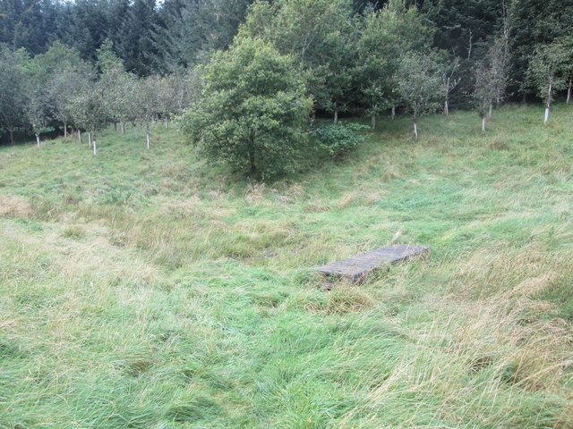
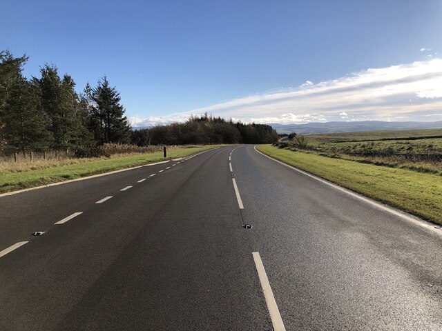
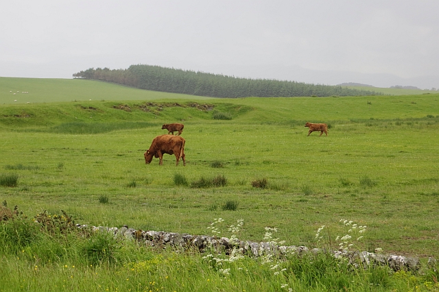
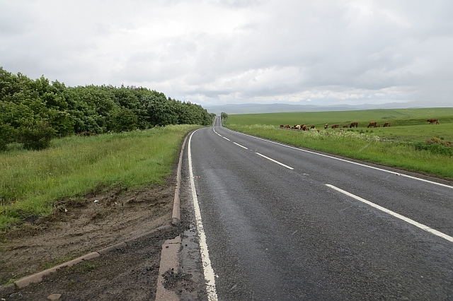
Stonyford Moss is a picturesque area located in Roxburghshire, Scotland. Situated amidst the tranquil countryside, it encompasses vast expanses of downs and moorland, offering visitors a diverse and captivating natural landscape to explore.

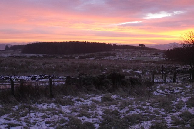
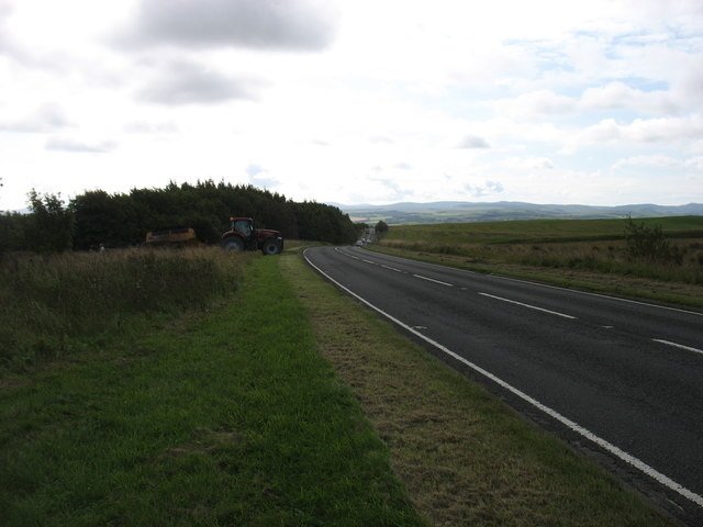
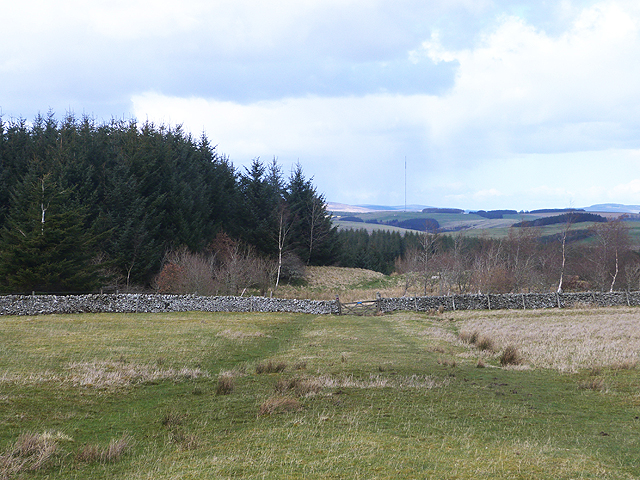
The downs of Stonyford Moss are characterized by rolling hills covered in lush green grasslands. These undulating terrains provide breathtaking panoramic views of the surrounding countryside. The area is home to a variety of plant species, including heather, gorse, and wildflowers, creating a vibrant tapestry of colors throughout the seasons.

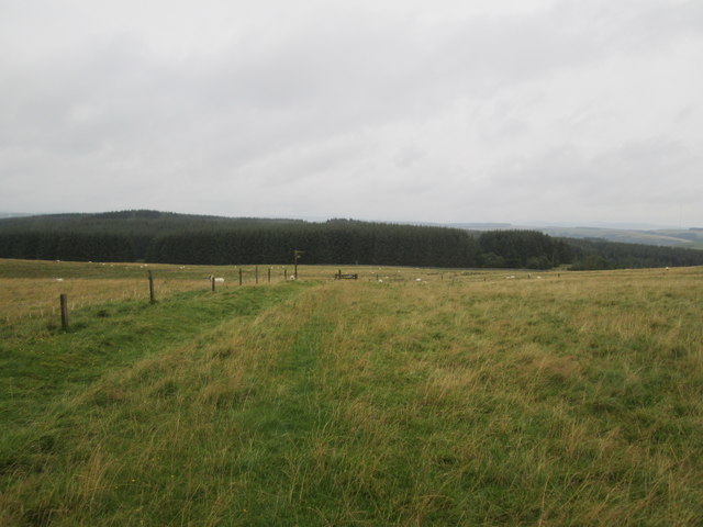
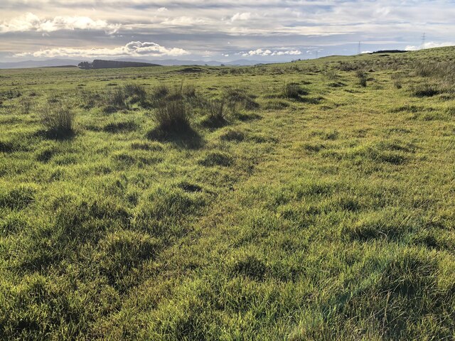
Adjacent to the downs, the moorland of Stonyford Moss showcases a unique ecosystem. Heather dominates the landscape, creating a rich purple blanket spread across the vast expanse. Moorland birds, such as curlew, lapwing, and golden plover, can often be spotted soaring through the skies or nesting in the heather.

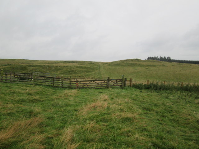
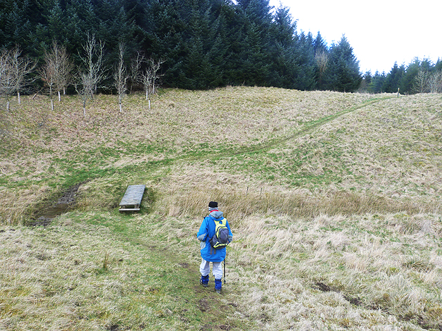
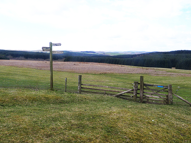
Stonyford Moss is a paradise for nature enthusiasts and hikers. Its well-maintained trails offer visitors the opportunity to explore the area's beautiful scenery, encounter local wildlife, and immerse themselves in the tranquility of the countryside. The downs provide gentle slopes, making them ideal for leisurely walks, while the moorland offers more challenging terrain for those seeking a more adventurous experience.

The area's peaceful ambiance, combined with its stunning natural beauty, makes Stonyford Moss a popular destination for photographers, birdwatchers, and those seeking a peaceful retreat away from the hustle and bustle of city life. Whether it's a leisurely stroll, a wildlife-spotting adventure, or simply a moment of serenity, Stonyford Moss offers a truly captivating experience for all who visit.

If you have any feedback on the listing, please let us know in the comments section below.

Stonyford Moss Images

Images are sourced within 2km of 55.475263/-2.8161871 or Grid Reference NT4820. Thanks to Geograph Open Source API. All images are credited.

View across Longmoss Knowe from Drinkstone Hill Triangulation Pillar Looking north-westward.
View across Longmoss Knowe from Drinkstone Hill Triangulation Pillar
Looking north-westward.
Groundistone Moss Dawn on the A7 with an old alignment of the road in the foreground.
Groundistone Moss
Dawn on the A7 with an old alignment of the road in the foreground.
The A7 heading for Hawick
Track  toward  Drinkstone  Hill The B A Way follows the track as it angles to the right from the plantation to the skyline
Track toward Drinkstone Hill
The B A Way follows the track as it angles to the right from the plantation to the skyline
Borders  Abbeys  Way  east  of  Drinkstone  Hill
Borders Abbeys Way east of Drinkstone Hill
Borders Abbeys  Way  approaching  gate  and  fingerpost Through gate and head for forestry. This is also the route of the Cross Borders Drove Road
Borders Abbeys Way approaching gate and fingerpost
Through gate and head for forestry. This is also the route of the Cross Borders Drove Road
Footbridge  over  stream  in  Falla  Cleuch
Footbridge over stream in Falla Cleuch
Borders  Abbeys  Way  in  Ashkirk  Forest
Borders Abbeys Way in Ashkirk Forest
Pond  and  newly  resurfaced  forest  track Constant traffic, large stone carrying lorries
Pond and newly resurfaced forest track
Constant traffic, large stone carrying lorries
Rough pasture, Groundistone Moss
A7 A high and sometimes rather snowy (I used to commute on this road) road between Selkirk and Hawick. It has been much improved and it is actually possible to overtake in places.
A7
A high and sometimes rather snowy (I used to commute on this road) road between Selkirk and Hawick. It has been much improved and it is actually possible to overtake in places.
Running calves, Groundistone Moss Grazing land seen from beside the A7.
Running calves, Groundistone Moss
Grazing land seen from beside the A7.
A7, Groundistone Moss The road has been straightened out here. This high level stretch between Hawick and Selkirk is notorious for snow.
A7, Groundistone Moss
The road has been straightened out here. This high level stretch between Hawick and Selkirk is notorious for snow.
A small pond on Ashkirk Hill
Border Abbeys Way on Ashkirk Hill This path forms part of the Border Abbeys Way, a circular long-distance walking route in the Scottish Borders.  A little snow still lingers in shady corners of the plantation.
Border Abbeys Way on Ashkirk Hill
This path forms part of the Border Abbeys Way, a circular long-distance walking route in the Scottish Borders. A little snow still lingers in shady corners of the plantation.
Falla Cleuch The path forms part of the Border Abbeys Way, a circular long-distance walking route in the Scottish Borders, here crossing Falla Cleuch by a plank footbridge.
Falla Cleuch
The path forms part of the Border Abbeys Way, a circular long-distance walking route in the Scottish Borders, here crossing Falla Cleuch by a plank footbridge.
Border Abbeys Way This path forms part of the Border Abbeys Way, a circular long-distance walking route in the Scottish Borders. Here it leaves open pasture and enters extensive plantations before descending to Ashkirk. On the skyline is the Ashkirk Transmitter mast  <a href="https://www.geograph.org.uk/gridref/NT4624">NT4624</a>, 229 metres high on top of a 303 metre high hill. It transmits FM Radio to the Scottish Borders.
Border Abbeys Way
This path forms part of the Border Abbeys Way, a circular long-distance walking route in the Scottish Borders. Here it leaves open pasture and enters extensive plantations before descending to Ashkirk. On the skyline is the Ashkirk Transmitter mast NT4624, 229 metres high on top of a 303 metre high hill. It transmits FM Radio to the Scottish Borders.
Signpost and gate on the Border Abbeys Way The Border Abbeys Way, a circular long-distance walking route in the Scottish Borders is straight ahead. The Dawyck Riding Route is to the right.
Signpost and gate on the Border Abbeys Way
The Border Abbeys Way, a circular long-distance walking route in the Scottish Borders is straight ahead. The Dawyck Riding Route is to the right.
Show me another place!

Stonyford Moss is located at Grid Ref: NT4820 (Lat: 55.475263, Lng: -2.8161871)

Unitary Authority: The Scottish Borders

Police Authority: The Lothians and Scottish Borders

What 3 Words

///saunas.certified.tradition. Near Hawick, Scottish Borders

Related Wikis

Ashkirk

Ashkirk is a small village on the Ale Water, in the Scottish Borders area of Scotland. It is located just off the A7 road, approximately 6 miles (10 kilometres...

Salenside

Salenside is a village off the A7, on the Ale Water, near Ashkirk, in the Scottish Borders area of Scotland, in the former Selkirkshire. There was a Salenside...

Bowismiln

Bowismiln is a village in the Scottish Borders area of Scotland. == See also == List of places in the Scottish Borders List of places in Scotland ��2...

Woll, Scottish Borders

Woll is a village on the Ale Water, off the A7, in the Ettrick Forest, north of Hawick, and south of Selkirk in the Scottish Borders area of Scotland....

Nearby Amenities

Located within 500m of 55.475263,-2.8161871
Mossend
Naptan AtcoCode: 69001663
Naptan Bearing: NW
Naptan BusStopType: CUS
Naptan CommonName: Mossend
Naptan Indicator: Opp crossroads
Naptan Landmark: Crossroads
Naptan NaptanCode: 72798793
Naptan Street: A7
Naptan Verified: no
Source: naptan_import
Lat/Long: 55.4780102/-2.8178452
Bus Stop
Mossend Crossroads
Bus: yes
Naptan AtcoCode: 69001664
Naptan Bearing: SE
Naptan CommonName: Mossend Crossroads
Naptan Indicator: at
Naptan NaptanCode: 72798794
Naptan Street: A7
Operator: Scottish Borders Council
Public Transport: platform
Ref: 69001664
Source: NaPTAN
Lat/Long: 55.4779149/-2.8173053
Power: pole
Lat/Long: 55.478331/-2.8208615
Power: pole
Lat/Long: 55.4782347/-2.8203362
The data included in this document is from www.openstreetmap.org. The data is made available under ODbL.

Have you been to Stonyford Moss?

Leave your review of Stonyford Moss below (or comments, questions and feedback).