Petersmuir Wood
Wood, Forest in East Lothian
Scotland
Petersmuir Wood
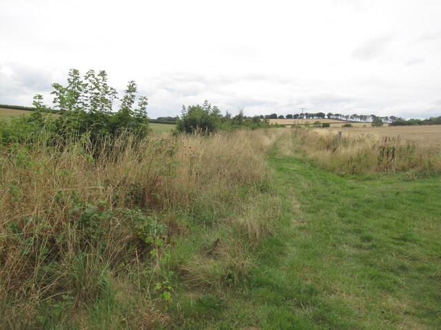
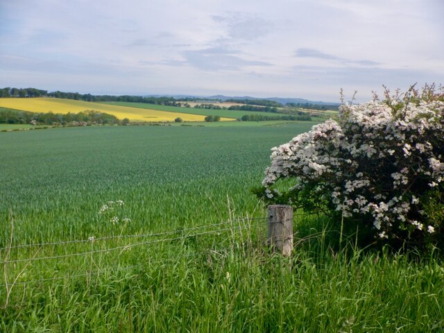
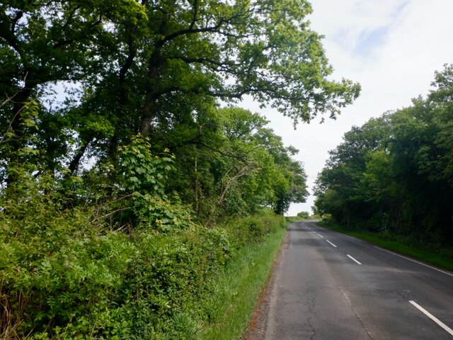
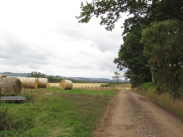
Petersmuir Wood is a picturesque forest located in East Lothian, Scotland. Covering an area of approximately 100 acres, it is a prominent natural attraction in the region. The woodland is characterized by a diverse range of tree species, including oak, beech, birch, and Scots pine, which create a vibrant and enchanting landscape.
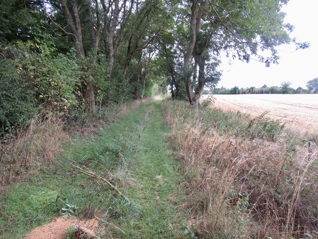
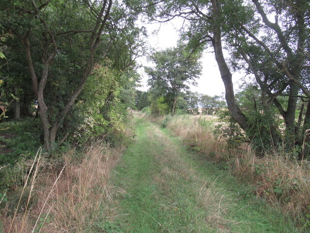
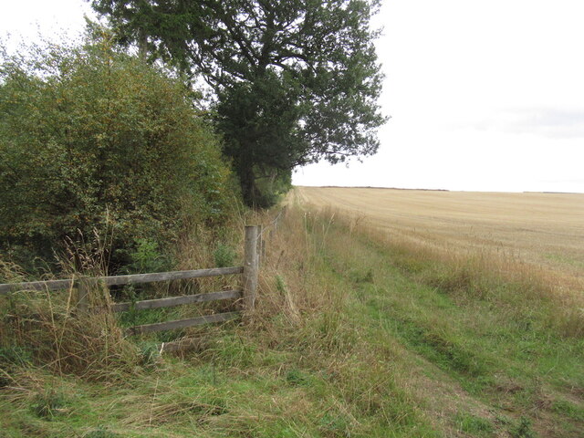
The forest is a popular destination for nature lovers and outdoor enthusiasts, offering a tranquil and peaceful environment for visitors to explore. Numerous walking trails wind their way through the wood, providing opportunities for leisurely strolls and more challenging hikes. These paths are well-maintained and clearly marked, ensuring that visitors can easily navigate through the forest.
Petersmuir Wood is also home to a variety of wildlife, making it an ideal spot for birdwatching and wildlife observation. Visitors may catch glimpses of red squirrels, deer, and a wide array of bird species, including woodpeckers and owls. The forest's diverse habitat provides a haven for these creatures and adds to the overall natural beauty of the area.
Additionally, the wood is steeped in history, with remnants of ancient settlements and archaeological sites scattered throughout. This historical significance adds an extra layer of intrigue to the forest, making it an appealing destination for history enthusiasts.
Overall, Petersmuir Wood in East Lothian is a captivating natural haven, offering a perfect blend of scenic beauty, recreational activities, and historical significance.
If you have any feedback on the listing, please let us know in the comments section below.
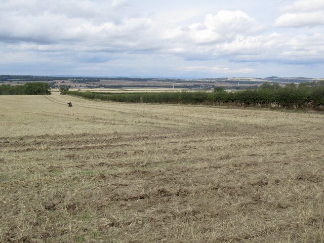
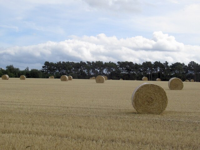
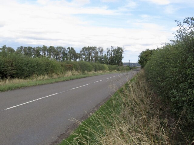
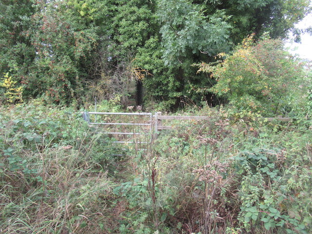
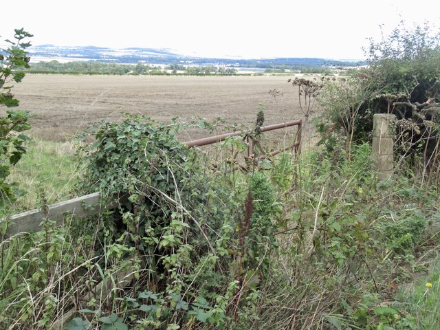
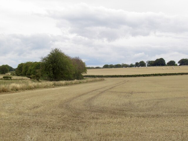
Petersmuir Wood Images
Images are sourced within 2km of 55.887244/-2.8274526 or Grid Reference NT4866. Thanks to Geograph Open Source API. All images are credited.
Petersmuir Wood is located at Grid Ref: NT4866 (Lat: 55.887244, Lng: -2.8274526)
Unitary Authority: East Lothian
Police Authority: The Lothians and Scottish Borders
What 3 Words
///contoured.drums.acrobat. Near Pencaitland, East Lothian
Nearby Locations
Related Wikis

Humbie railway station
Humbie railway station served the civil parish of Humbie, East Lothian, Scotland, from 1901 to 1933 on the Macmerry Branch. == History == The station was...
Saltoun Parish Church
Saltoun Parish Church is a church in East Saltoun, East Lothian, Scotland. It is part of the Church of Scotland, and (along with Yester Church and Bolton...

East Saltoun and West Saltoun
East Saltoun and West Saltoun are separate villages in East Lothian, Scotland, about 5 miles (8.0 kilometres) south-west of Haddington and 20 miles (32...

Saltoun railway station
Saltoun railway station served the villages of East Saltoun and West Saltoun in East Lothian, Scotland, from 1901 to 1933 on the Macmerry Branch. ��2...
Nearby Amenities
Located within 500m of 55.887244,-2.8274526Have you been to Petersmuir Wood?
Leave your review of Petersmuir Wood below (or comments, questions and feedback).