Belrorie Wood

Wood, Forest in Aberdeenshire

Scotland

Belrorie Wood

Car Park in the Gloaming The car park at Aboyne Airfield at dusk.
Car Park in the Gloaming Credit: Anne Burgess

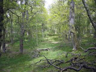
Belrorie Wood is a picturesque forest located in Aberdeenshire, Scotland. Spanning over an area of approximately 100 acres, it is a popular destination for nature enthusiasts and outdoor adventurers alike. The wood is situated just a few miles away from the town of Stonehaven, making it easily accessible for visitors.

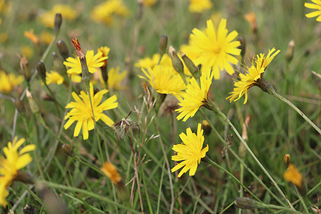
The wood boasts a diverse range of flora and fauna, making it a haven for wildlife enthusiasts. Visitors can expect to encounter various species of birds, including woodpeckers and owls, as well as small mammals such as squirrels and rabbits. The forest floor is adorned with an array of wildflowers, adding a vibrant touch to the natural beauty of the surroundings.

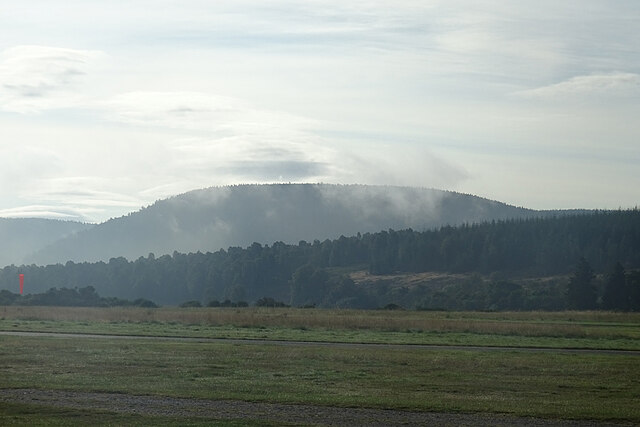
A network of well-maintained trails weaves through the forest, providing visitors with ample opportunities for walking, hiking, and cycling. These trails cater to all levels of fitness, offering both gentle strolls and more challenging routes for the adventurous. Along the way, visitors can enjoy the tranquil atmosphere of the wood, with occasional glimpses of panoramic views of the surrounding countryside.

Belrorie Wood is also home to a variety of ancient trees, some of which are believed to be several hundred years old. These majestic giants add a sense of history and grandeur to the woodland, making it an enchanting place to explore.

Overall, Belrorie Wood is a hidden gem in Aberdeenshire, offering visitors a chance to immerse themselves in nature's beauty and tranquility. With its diverse wildlife, well-maintained trails, and ancient trees, it is a destination that appeals to nature lovers and outdoor enthusiasts seeking solace in the great outdoors.

If you have any feedback on the listing, please let us know in the comments section below.

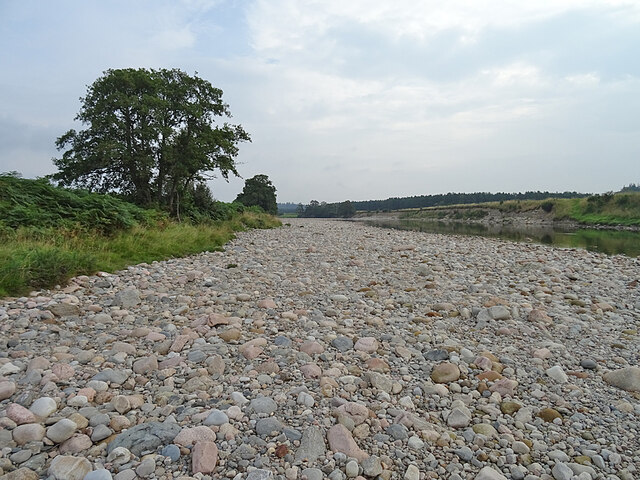
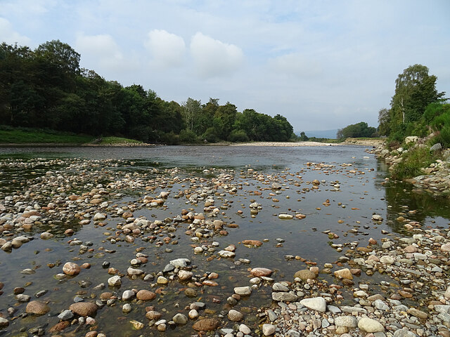
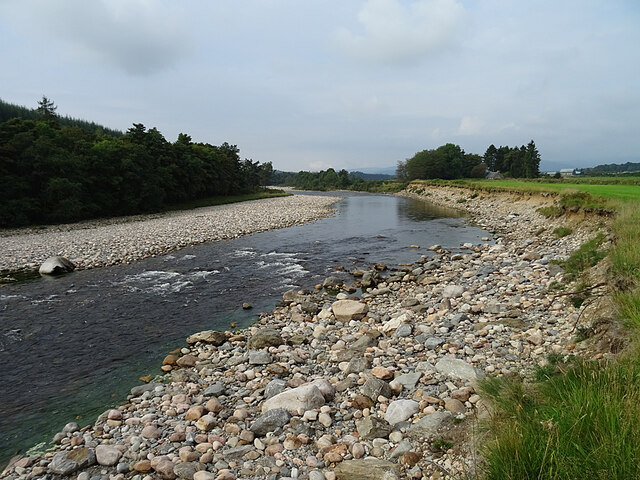
Belrorie Wood Images

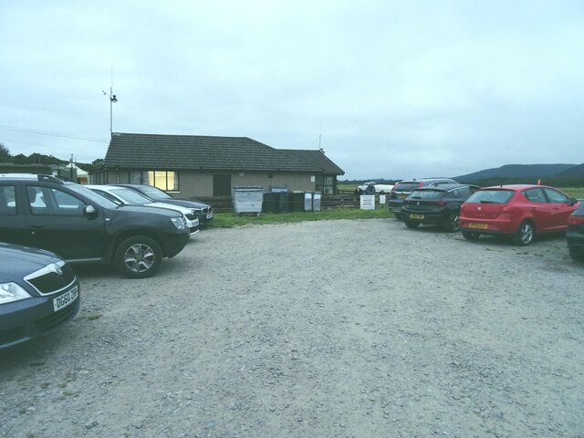
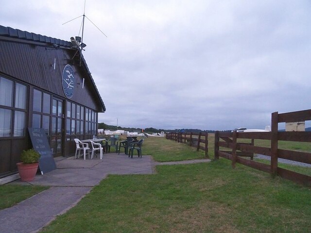
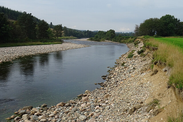
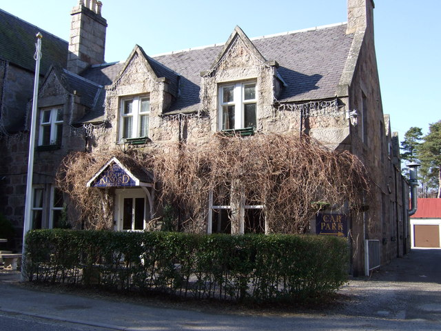
Images are sourced within 2km of 57.064651/-2.855624 or Grid Reference NO4897. Thanks to Geograph Open Source API. All images are credited.

Car Park in the Gloaming The car park at Aboyne Airfield at dusk.
Car Park in the Gloaming
The car park at Aboyne Airfield at dusk.
Clubhouse at Dusk Outside the gliding club house, the chairs stand empty as darkness approaches.
Clubhouse at Dusk
Outside the gliding club house, the chairs stand empty as darkness approaches.
Autumn Hawkbit (Scorzoneroides autumnalis) The short grass on the airfield is thickly carpeted with Autumn Hawkbit (no, they are *not* dandelions!), a testament to the undesirability of too rigorous mowing.
Autumn Hawkbit (Scorzoneroides autumnalis)
The short grass on the airfield is thickly carpeted with Autumn Hawkbit (no, they are *not* dandelions!), a testament to the undesirability of too rigorous mowing.
Morning Mist A few wisps of morning mist are dissipating, revealing lenticular clouds, a glider pilot's favourite, higher in the sky.
Morning Mist
A few wisps of morning mist are dissipating, revealing lenticular clouds, a glider pilot's favourite, higher in the sky.
The Grid Gliders to be flown by competitors in the UK Mountain Soaring Championships await their turn to be launched.
The Grid
Gliders to be flown by competitors in the UK Mountain Soaring Championships await their turn to be launched.
Shingle Bank The wide expanse of sand and shingle on the bank of the River Dee shows just how low the river level is after recent dry weather.
Shingle Bank
The wide expanse of sand and shingle on the bank of the River Dee shows just how low the river level is after recent dry weather.
River Dee The river is exceptionally low at the moment. Normally the pebbles and cobbles in the foreground would be under water.
River Dee
The river is exceptionally low at the moment. Normally the pebbles and cobbles in the foreground would be under water.
River Dee near Waterside Even though there is not much water in the river, there is enough for a small rapid to have formed here.
River Dee near Waterside
Even though there is not much water in the river, there is enough for a small rapid to have formed here.
River Dee Erosion Although the water is low and the river fairly slow at the moment, a look at the river bank on the right shows that it is not always so. The truncated edge of the grass, and the divots sliding down the slope below, show that the river has been undercutting and destabilising the bank on the outside of this meander.
River Dee Erosion
Although the water is low and the river fairly slow at the moment, a look at the river bank on the right shows that it is not always so. The truncated edge of the grass, and the divots sliding down the slope below, show that the river has been undercutting and destabilising the bank on the outside of this meander.
Butterflies on Buddleia The nearer one is a Small Tortoiseshell (Aglais urticae) and the other is a Peacock (Inachis io).
Butterflies on Buddleia
The nearer one is a Small Tortoiseshell (Aglais urticae) and the other is a Peacock (Inachis io).
Peacock Butterfly (Inachis io) A Peacock making the most of the nectar on a Buddleia bush.
Peacock Butterfly (Inachis io)
A Peacock making the most of the nectar on a Buddleia bush.
Birch woods in Glen Tanar
Shingle bank on Water of Tanar
East Millfield in Glen Tanar
View across Glen Tanar
Queen's Road in Glen Tanar The road contours the northwest slopes of the glen, giving good views over Glen Tanar House.
Queen's Road in Glen Tanar
The road contours the northwest slopes of the glen, giving good views over Glen Tanar House.
Outbuildings at Glen Tanar Designed by George Truefitt in the latter half of the 19th century.
Outbuildings at Glen Tanar
Designed by George Truefitt in the latter half of the 19th century.
River Dee Gliding club windsock on the other side.
River Dee
Gliding club windsock on the other side.
Show me another place!

Belrorie Wood is located at Grid Ref: NO4897 (Lat: 57.064651, Lng: -2.855624)

Unitary Authority: Aberdeenshire

Police Authority: North East

What 3 Words

///firebird.possibly.bottle. Near Aboyne, Aberdeenshire

Related Wikis

Glen Tanar

Glen Tanar (Scottish Gaelic: Gleann Tanar) is a glen in Aberdeenshire, eastern Scotland, through which the Water of Tanar flows. Near the mouth of the...

Dinnet Oakwood

Dinnet Oakwood is a Designated Special Area of Conservation located in Aberdeenshire, Scotland. It is located approximately 9 miles from Aboyne and six...

Dinnet railway station

Dinnet railway station was opened on 17 October 1866 by the Aboyne and Braemar Railway and served Dinnet village from 1899 to 1966 as an intermediate station...

Dinnet

Dinnet (Scottish Gaelic, Dùnaidh) is a village in the Marr area of Aberdeenshire, Scotland. Approximately equidistant from Deeside towns Aboyne and Ballater...

Nearby Amenities

Located within 500m of 57.064651,-2.855624
Belrorie Hill
Ele: 284
Natural: peak
Lat/Long: 57.0631374/-2.8564398
Power: pole
Lat/Long: 57.0669622/-2.8618754
Power: pole
Lat/Long: 57.0672581/-2.8606924
Power: pole
Lat/Long: 57.0677635/-2.8592449
Power: pole
Lat/Long: 57.0680316/-2.8584645
Power: pole
Lat/Long: 57.068534/-2.8569433
The data included in this document is from www.openstreetmap.org. The data is made available under ODbL.

Have you been to Belrorie Wood?

Leave your review of Belrorie Wood below (or comments, questions and feedback).