Belrorie Hill

Hill, Mountain in Aberdeenshire

Scotland

Belrorie Hill

Car Park in the Gloaming The car park at Aboyne Airfield at dusk.
Car Park in the Gloaming Credit: Anne Burgess

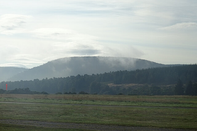
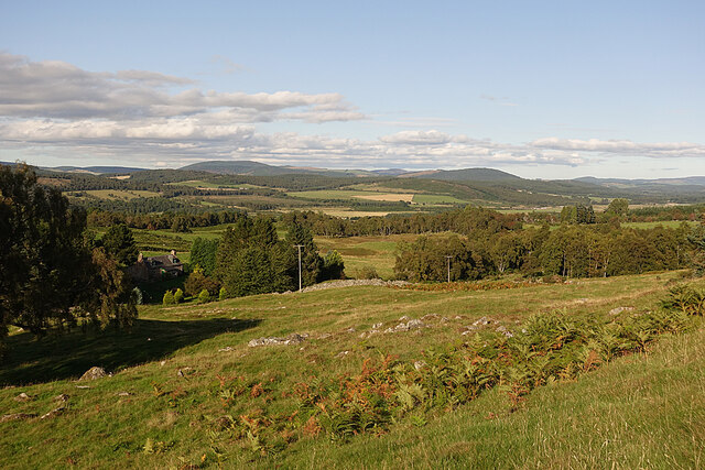
Belrorie Hill is a prominent feature located in Aberdeenshire, Scotland. Rising to an elevation of approximately 365 meters (1,200 feet), it is classified as a hill rather than a mountain. Belrorie Hill is nestled within the beautiful countryside and offers breathtaking panoramic views of the surrounding area.

The hill is characterized by its gently sloping terrain, covered in lush green vegetation, and it is a popular destination for hikers and nature enthusiasts. Its accessibility from nearby towns and villages makes it a favored spot for locals and tourists alike.

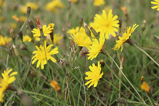
Belrorie Hill boasts a diverse range of flora and fauna, with a mix of heather, grasses, and wildflowers adorning its slopes. It is home to various species of birds, including red grouse, pheasants, and buzzards, making it a paradise for birdwatching enthusiasts.

The summit of Belrorie Hill offers a commanding view of the Aberdeenshire countryside, with rolling hills, farmland, and distant peaks in the distance. On a clear day, one can even catch a glimpse of the North Sea sparkling in the horizon.

The hill is relatively easy to climb, with well-maintained paths leading to the summit. Its accessibility and stunning vistas make it a popular spot for picnics, photography, and simply enjoying the tranquility of the Scottish countryside.

In conclusion, Belrorie Hill in Aberdeenshire is a picturesque and accessible hill, offering stunning views and a haven for nature lovers. Whether it's for a leisurely stroll or a more challenging hike, this hill provides a memorable experience for all who visit.

If you have any feedback on the listing, please let us know in the comments section below.

Belrorie Hill Images

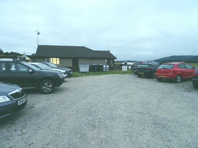
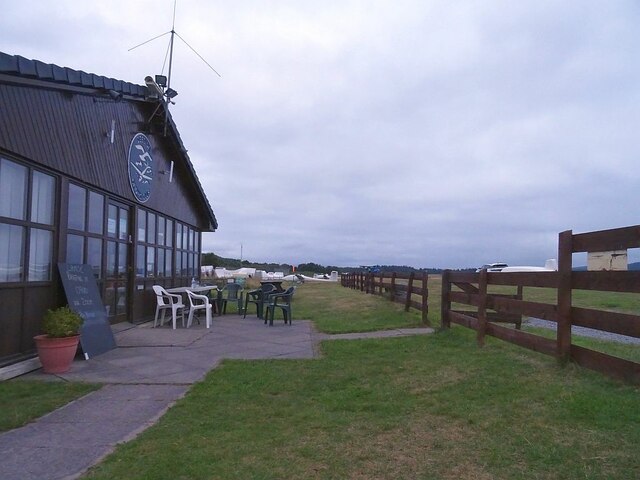
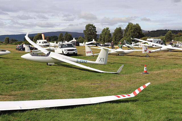
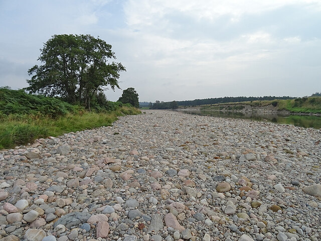
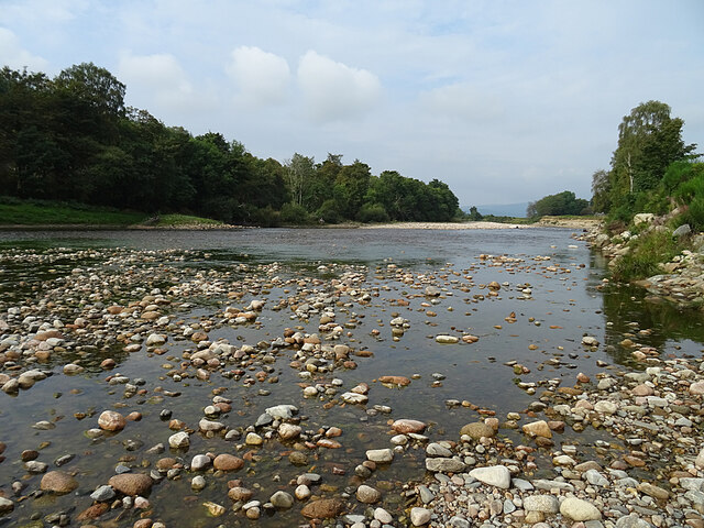
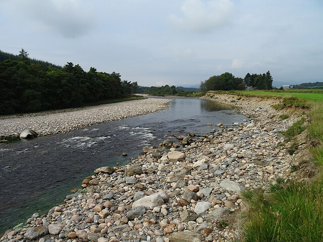
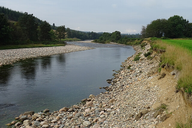
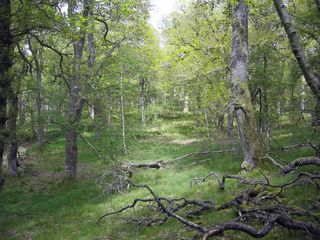
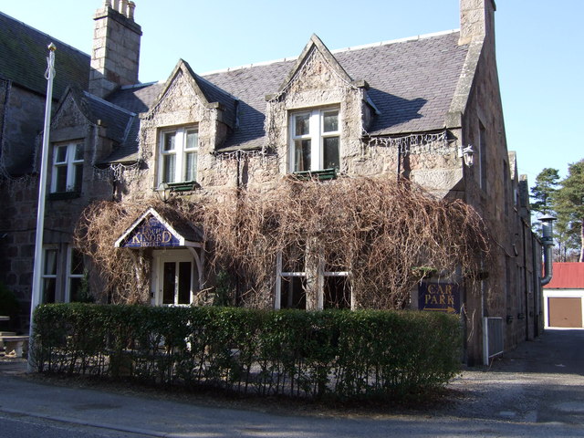
Images are sourced within 2km of 57.063417/-2.8561562 or Grid Reference NO4897. Thanks to Geograph Open Source API. All images are credited.

Car Park in the Gloaming The car park at Aboyne Airfield at dusk.
Car Park in the Gloaming
The car park at Aboyne Airfield at dusk.
Clubhouse at Dusk Outside the gliding club house, the chairs stand empty as darkness approaches.
Clubhouse at Dusk
Outside the gliding club house, the chairs stand empty as darkness approaches.
Autumn Hawkbit (Scorzoneroides autumnalis) The short grass on the airfield is thickly carpeted with Autumn Hawkbit (no, they are *not* dandelions!), a testament to the undesirability of too rigorous mowing.
Autumn Hawkbit (Scorzoneroides autumnalis)
The short grass on the airfield is thickly carpeted with Autumn Hawkbit (no, they are *not* dandelions!), a testament to the undesirability of too rigorous mowing.
Morning Mist A few wisps of morning mist are dissipating, revealing lenticular clouds, a glider pilot's favourite, higher in the sky.
Morning Mist
A few wisps of morning mist are dissipating, revealing lenticular clouds, a glider pilot's favourite, higher in the sky.
The Grid Gliders to be flown by competitors in the UK Mountain Soaring Championships await their turn to be launched.
The Grid
Gliders to be flown by competitors in the UK Mountain Soaring Championships await their turn to be launched.
Wester Newton Wester Newton is the house on the left. The view takes in a long stretch of Deeside, and the hills north of it, but the River Dee itself is hidden by the trees.
Wester Newton
Wester Newton is the house on the left. The view takes in a long stretch of Deeside, and the hills north of it, but the River Dee itself is hidden by the trees.
Shingle Bank The wide expanse of sand and shingle on the bank of the River Dee shows just how low the river level is after recent dry weather.
Shingle Bank
The wide expanse of sand and shingle on the bank of the River Dee shows just how low the river level is after recent dry weather.
River Dee The river is exceptionally low at the moment. Normally the pebbles and cobbles in the foreground would be under water.
River Dee
The river is exceptionally low at the moment. Normally the pebbles and cobbles in the foreground would be under water.
River Dee near Waterside Even though there is not much water in the river, there is enough for a small rapid to have formed here.
River Dee near Waterside
Even though there is not much water in the river, there is enough for a small rapid to have formed here.
River Dee Erosion Although the water is low and the river fairly slow at the moment, a look at the river bank on the right shows that it is not always so. The truncated edge of the grass, and the divots sliding down the slope below, show that the river has been undercutting and destabilising the bank on the outside of this meander.
River Dee Erosion
Although the water is low and the river fairly slow at the moment, a look at the river bank on the right shows that it is not always so. The truncated edge of the grass, and the divots sliding down the slope below, show that the river has been undercutting and destabilising the bank on the outside of this meander.
Butterflies on Buddleia The nearer one is a Small Tortoiseshell (Aglais urticae) and the other is a Peacock (Inachis io).
Butterflies on Buddleia
The nearer one is a Small Tortoiseshell (Aglais urticae) and the other is a Peacock (Inachis io).
Peacock Butterfly (Inachis io) A Peacock making the most of the nectar on a Buddleia bush.
Peacock Butterfly (Inachis io)
A Peacock making the most of the nectar on a Buddleia bush.
Birch woods in Glen Tanar
Shingle bank on Water of Tanar
East Millfield in Glen Tanar
View across Glen Tanar
Queen's Road in Glen Tanar The road contours the northwest slopes of the glen, giving good views over Glen Tanar House.
Queen's Road in Glen Tanar
The road contours the northwest slopes of the glen, giving good views over Glen Tanar House.
Outbuildings at Glen Tanar Designed by George Truefitt in the latter half of the 19th century.
Outbuildings at Glen Tanar
Designed by George Truefitt in the latter half of the 19th century.
Show me another place!

Belrorie Hill is located at Grid Ref: NO4897 (Lat: 57.063417, Lng: -2.8561562)

Unitary Authority: Aberdeenshire

Police Authority: North East

What 3 Words

///tasteful.cowering.gobblers. Near Aboyne, Aberdeenshire

Related Wikis

Glen Tanar

Glen Tanar (Scottish Gaelic: Gleann Tanar) is a glen in Aberdeenshire, eastern Scotland, through which the Water of Tanar flows. Near the mouth of the...

Dinnet Oakwood

Dinnet Oakwood is a Designated Special Area of Conservation located in Aberdeenshire, Scotland. It is located approximately 9 miles from Aboyne and six...

Dinnet railway station

Dinnet railway station was opened on 17 October 1866 by the Aboyne and Braemar Railway and served Dinnet village from 1899 to 1966 as an intermediate station...

Dinnet

Dinnet (Scottish Gaelic, Dùnaidh) is a village in the Marr area of Aberdeenshire, Scotland. Approximately equidistant from Deeside towns Aboyne and Ballater...

Nearby Amenities

Located within 500m of 57.063417,-2.8561562
Belrorie Hill
Ele: 284
Natural: peak
Lat/Long: 57.0631374/-2.8564398
The data included in this document is from www.openstreetmap.org. The data is made available under ODbL.

Have you been to Belrorie Hill?

Leave your review of Belrorie Hill below (or comments, questions and feedback).