Waterless Wood

Wood, Forest in Fife

Scotland

Waterless Wood

A915 - turn off to Cameron Kirk
A915 - turn off to Cameron Kirk Credit: Becky Williamson

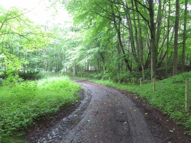
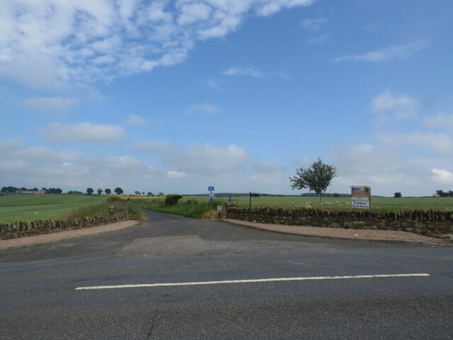
Waterless Wood is a dense forest located in the region of Fife, Scotland. Spread across an area of approximately 500 acres, it stands as one of the largest woodlands in the area. The forest derives its name from the absence of any significant water bodies within its boundaries.

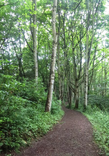
Comprising a diverse range of tree species, Waterless Wood is predominantly an ancient oak woodland. The towering oak trees, some of which are believed to be several centuries old, provide a majestic canopy and create a unique ecosystem within the forest. Other tree species found here include beech, birch, and hawthorn, adding to the variety and beauty of the woodland.

The forest is a haven for wildlife, supporting a rich and diverse ecosystem. It provides a habitat for numerous bird species, including woodpeckers, owls, and various songbirds. Mammals such as red squirrels, deer, and foxes also call Waterless Wood their home. The undergrowth of the forest is teeming with a wide range of flora and fauna, creating a thriving ecosystem.

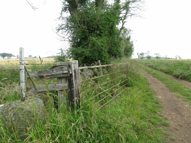
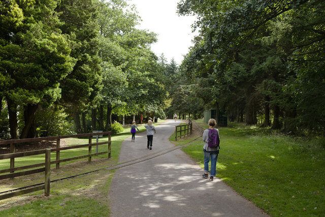
Waterless Wood offers a range of recreational opportunities for nature enthusiasts and hikers. The forest is crisscrossed by a network of well-maintained trails, allowing visitors to explore its natural beauty at their own pace. The tranquil ambiance and picturesque surroundings make it an ideal destination for leisurely walks, birdwatching, and photography.

Overall, Waterless Wood is a captivating woodland that showcases the natural beauty and ecological diversity of Fife. Its ancient oaks, abundant wildlife, and peaceful atmosphere make it a cherished destination for both locals and tourists seeking a connection with nature.

If you have any feedback on the listing, please let us know in the comments section below.

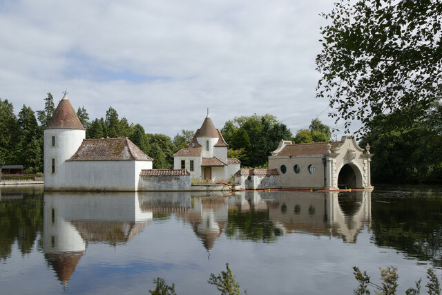
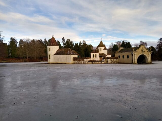
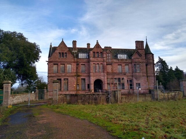
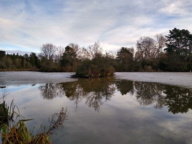
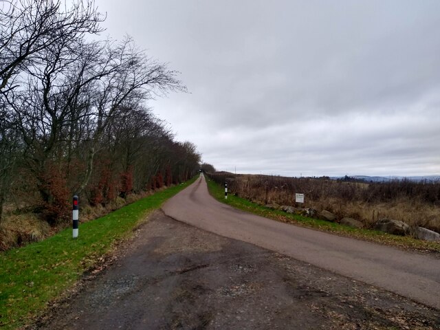
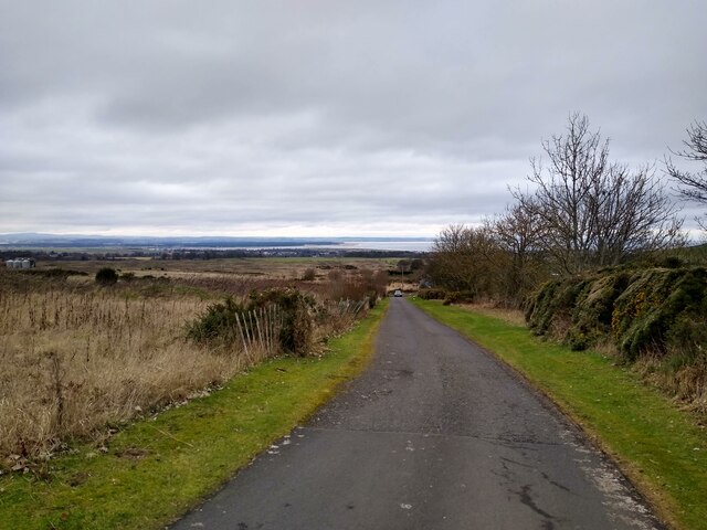
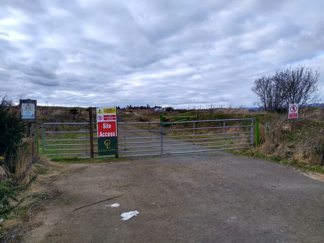
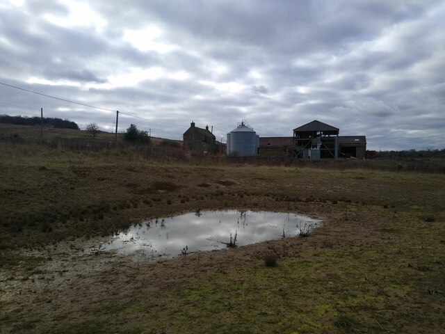
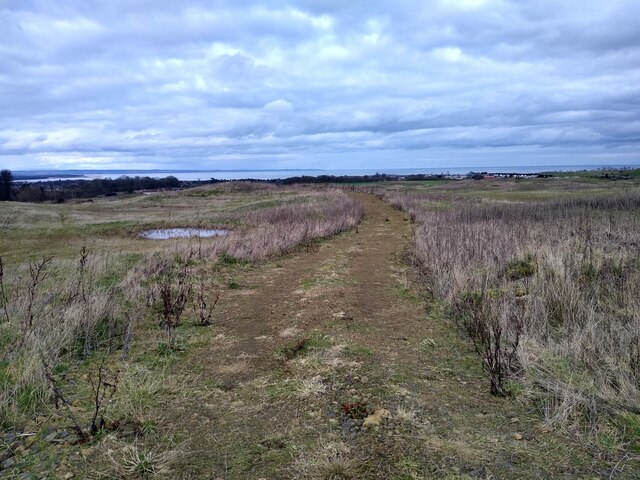
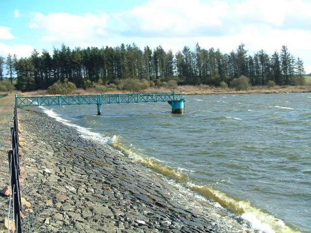
Waterless Wood Images

Images are sourced within 2km of 56.301344/-2.8415382 or Grid Reference NO4812. Thanks to Geograph Open Source API. All images are credited.

A915 - turn off to Cameron Kirk
Track to Winthank Farm The almost illegible sign reads: Private, No Entry.
Track to Winthank Farm
The almost illegible sign reads: Private, No Entry.
Fife Pilgrim Way through Lumbo Den
Benchmark on wall, Denhead Ordnance Survey benchmark, described on database at <span class="nowrap"><a title="https://www.bench-marks.org.uk/bm150920" rel="nofollow ugc noopener" href="https://www.bench-marks.org.uk/bm150920">Link</a><img style="margin-left:2px;" alt="External link" title="External link - shift click to open in new window" src="https://s1.geograph.org.uk/img/external.png" width="10" height="10"/></span>.
Benchmark on wall, Denhead
Ordnance Survey benchmark, described on database at LinkExternal link.
Priorletham Farm House
Track through Winthank Woods There are some disused lime works in this wood.
Track through Winthank Woods
There are some disused lime works in this wood.
Road to Priorletham T junction on the A915 south of St Andrews.
Road to Priorletham
T junction on the A915 south of St Andrews.
Entrance, Craigtoun Country Park
Railway crossing the path in Craigtoun Country Park
Lake, Craigtoun Country Park
Frozen Pond This is the largest pond in Craigtoun Country Park, on the island is the so-called Dutch Village.
Frozen Pond
This is the largest pond in Craigtoun Country Park, on the island is the so-called Dutch Village.
Craigtoun Hospital A former maternity hospital, now disused and fenced in. Well, almost entirely fenced in, as this picture demonstrates for which I did not have to scale any fences.
Craigtoun Hospital
A former maternity hospital, now disused and fenced in. Well, almost entirely fenced in, as this picture demonstrates for which I did not have to scale any fences.
Another pond The second, smaller pond in Craigtoun Country Park is just about in this square.
Another pond
The second, smaller pond in Craigtoun Country Park is just about in this square.
Private road to Feddinch Feddinch itself, in the next square, needs to be explored on foot.
Private road to Feddinch
Feddinch itself, in the next square, needs to be explored on foot.
Feddinch towards A915 This private road runs parallel to the A915 for a bit. Coming down from Feddinch, the views across St Andrews are marvellous.
Feddinch towards A915
This private road runs parallel to the A915 for a bit. Coming down from Feddinch, the views across St Andrews are marvellous.
Site entrance to nothing This is the entrance to Feddinch Mains, a golf course that has been 'under construction' for a long long time. Despite what the signs say, there is absolutely no construction going on on the entire site. The project originates from the late 1990s, and the last promises were made in 2020. But that last iteration seems to have hit a dead end in 2022, again.
Site entrance to nothing
This is the entrance to Feddinch Mains, a golf course that has been 'under construction' for a long long time. Despite what the signs say, there is absolutely no construction going on on the entire site. The project originates from the late 1990s, and the last promises were made in 2020. But that last iteration seems to have hit a dead end in 2022, again.
Feddinch Mains The farm Feddinch Mains, now mostly derelict, and surrounded by wasteland. An air of 'Texas Chainsaw Massacre'.
Feddinch Mains
The farm Feddinch Mains, now mostly derelict, and surrounded by wasteland. An air of 'Texas Chainsaw Massacre'.
Derelict Feddinch golf course The northern parts of the planned and never realised Feddinch golf course are in this square. Here the view north towards St Andrews over several hundred metres of wasteland.
Derelict Feddinch golf course
The northern parts of the planned and never realised Feddinch golf course are in this square. Here the view north towards St Andrews over several hundred metres of wasteland.
Show me another place!

Waterless Wood is located at Grid Ref: NO4812 (Lat: 56.301344, Lng: -2.8415382)

Unitary Authority: Fife

Police Authority: Fife

What 3 Words

///deputy.nimbly.mourner. Near St Andrews, Fife

Nearby Locations

Waterless Wood Clash Wood

Related Wikis

Nearby Amenities

Located within 500m of 56.301344,-2.8415382
The data included in this document is from www.openstreetmap.org. The data is made available under ODbL.

Have you been to Waterless Wood?

Leave your review of Waterless Wood below (or comments, questions and feedback).