Well Strip
Wood, Forest in Fife
Scotland
Well Strip
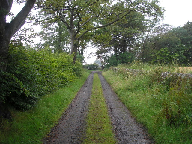
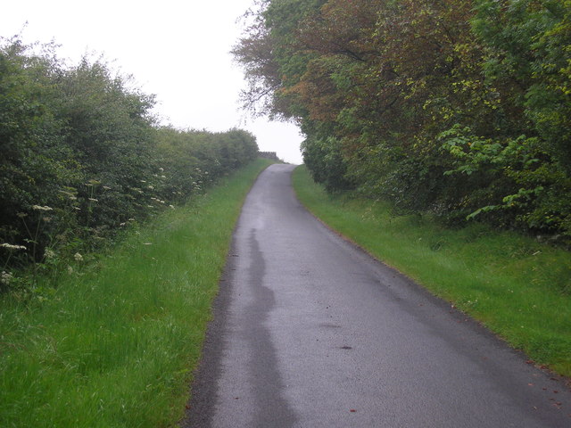
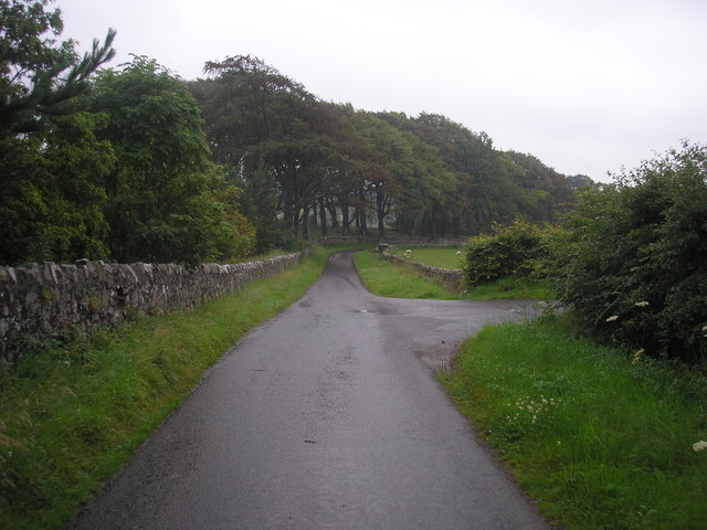
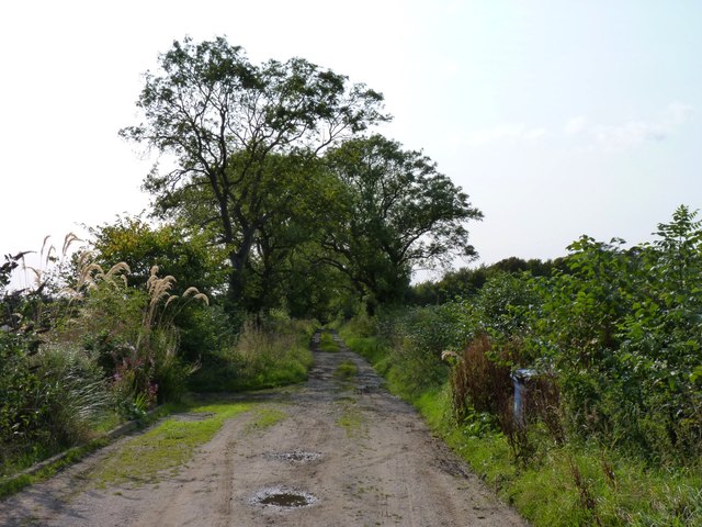
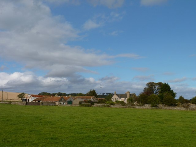
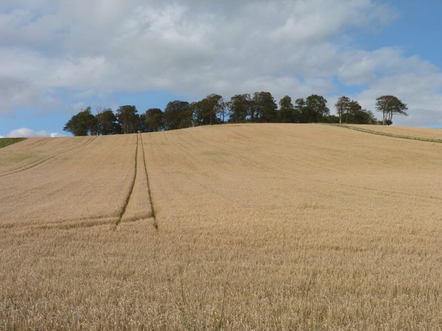
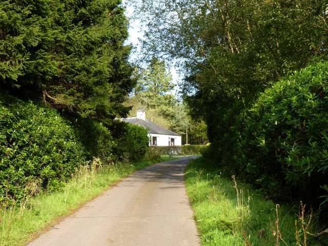
Well Strip, located in Fife, Scotland, is a small woodland region known for its dense forest cover and scenic beauty. This natural haven is nestled in the southern part of Fife, between the villages of Cairneyhill and Crossford. Covering an area of approximately 100 acres, Well Strip is a popular destination for nature enthusiasts and hikers alike.
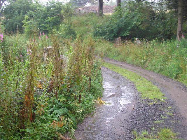
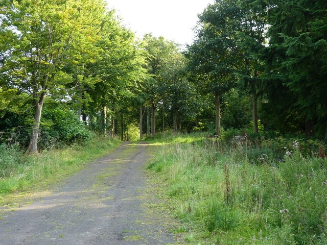
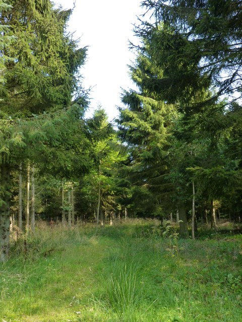
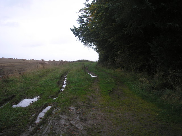
The woodland in Well Strip predominantly consists of native deciduous trees such as oak, beech, and birch, creating a diverse and vibrant ecosystem. The forest floor is adorned with a rich carpet of mosses, ferns, and wildflowers, adding to the enchanting atmosphere. In addition to its aesthetic appeal, Well Strip serves as a valuable habitat for various wildlife species including birds, squirrels, and deer, making it a prime spot for wildlife observation and photography.
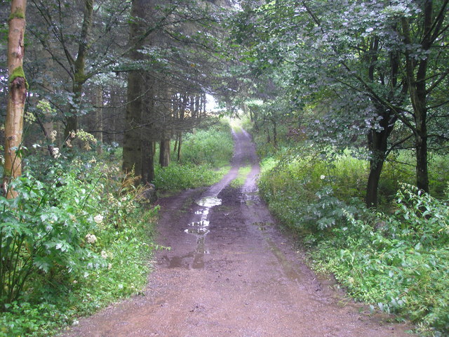
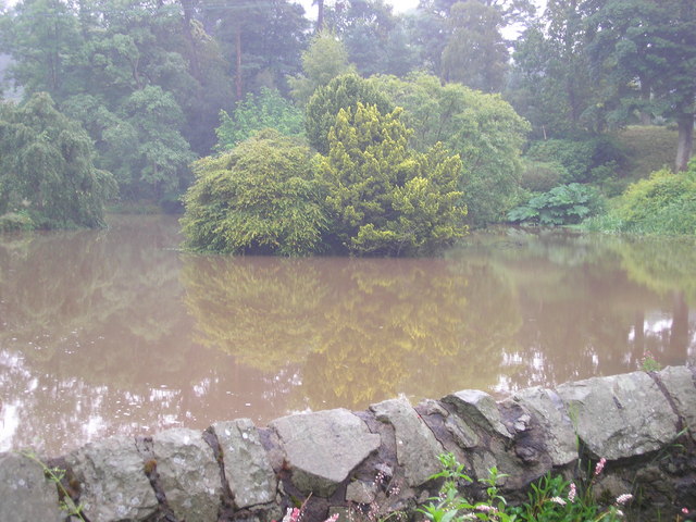
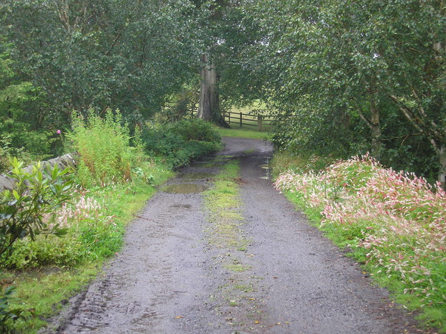
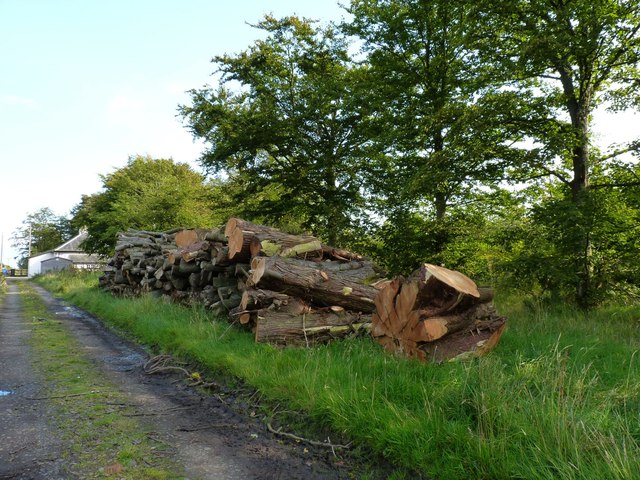
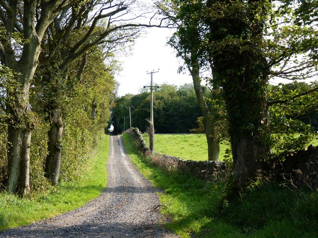
Well Strip is crisscrossed by a network of well-maintained walking trails, allowing visitors to explore the area at their own pace. These trails wind through the forest, leading to picturesque spots such as a tranquil pond and a cascading stream. Along the way, visitors can enjoy the peaceful ambiance and immerse themselves in the natural beauty that surrounds them.
Moreover, the woodland is equipped with basic amenities like picnic areas and benches, providing visitors with the opportunity to relax and enjoy a packed lunch amidst the serene surroundings. Well Strip is open to the public throughout the year, offering a refreshing retreat from the hustle and bustle of daily life.
In summary, Well Strip in Fife is a captivating woodland area characterized by its lush forest, diverse wildlife, and picturesque trails. It provides an idyllic setting for nature lovers and outdoor enthusiasts seeking a peaceful escape in the heart of Scotland.
If you have any feedback on the listing, please let us know in the comments section below.
Well Strip Images
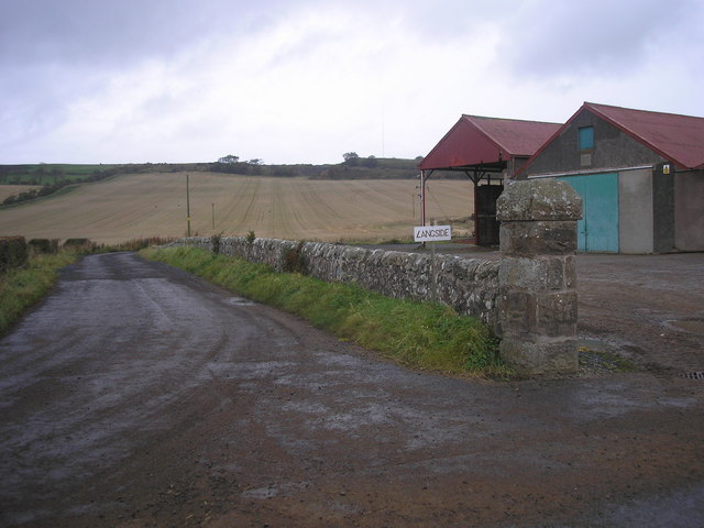
Images are sourced within 2km of 56.242087/-2.8407057 or Grid Reference NO4705. Thanks to Geograph Open Source API. All images are credited.
Well Strip is located at Grid Ref: NO4705 (Lat: 56.242087, Lng: -2.8407057)
Unitary Authority: Fife
Police Authority: Fife
What 3 Words
///delight.launcher.asserts. Near St Monans, Fife
Nearby Locations
Related Wikis

Balcarres House
Balcarres House lies 1km north of the village of Colinsburgh, in the East Neuk of Fife, in eastern Scotland. It is centred on a mansion built in 1595...

Largoward
Largoward is a village in East Fife, Scotland, lying on the road from Leven to St Andrews in the Riggin o Fife, 4½ miles north-east of Lower Largo and...

Lathones
Lathones (/lə'θonz/) is a village in Fife, Scotland, located approximately six miles (10 km) south west of St Andrews, in the parish of Cameron in the...
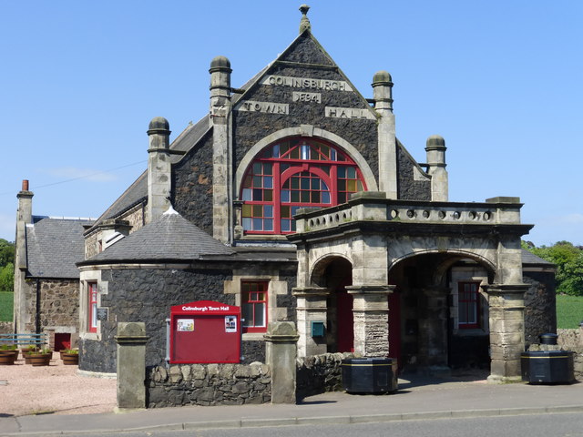
Colinsburgh Town Hall
Colinsburgh Town Hall is a municipal building in Main Street, Colinsburgh, Fife, Scotland. The building is used as a community events venue. == History... ==
Nearby Amenities
Located within 500m of 56.242087,-2.8407057Have you been to Well Strip?
Leave your review of Well Strip below (or comments, questions and feedback).