James's Plantation

Wood, Forest in Roxburghshire

Scotland

James's Plantation

A symbolic gravestone in Ashkirk Parish Churchyard This 18th century stone, which is leaning forwards, displays the classic symbols of mortality with crossed femur bones, a horizontal hourglass and a death’s head skull. A winged soul at the top of the stone is a symbol of immortality representing the human spirit.
A symbolic gravestone in Ashkirk Parish Churchyard Credit: Walter Baxter

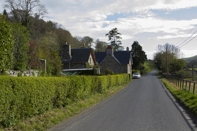
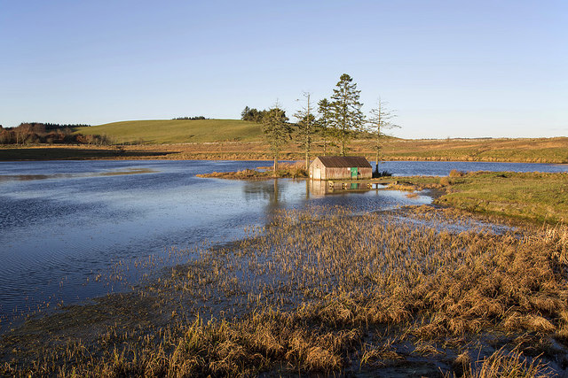
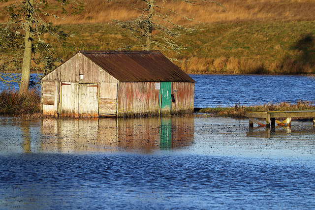
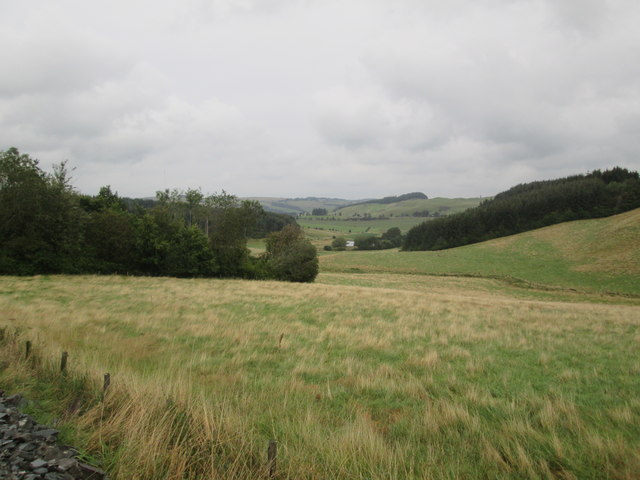
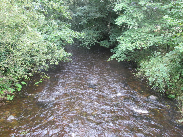
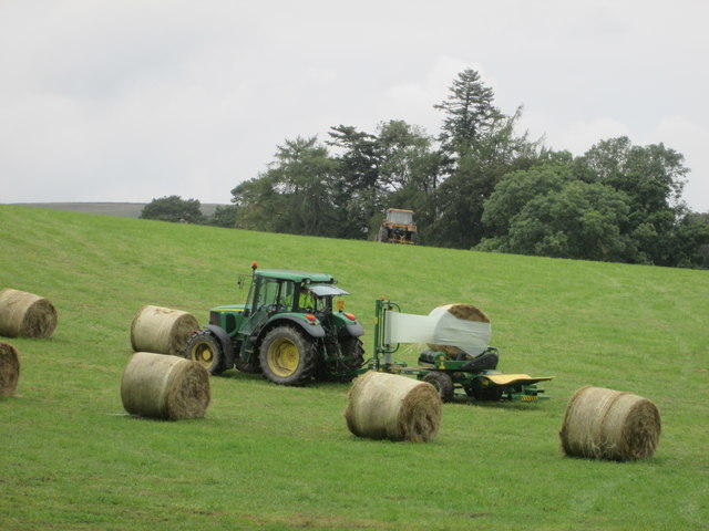
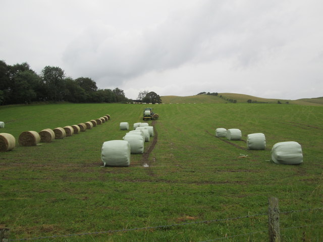
James's Plantation is a magnificent woodland estate located in Roxburghshire, Scotland. Spread over a vast area, it is renowned for its picturesque beauty and rich biodiversity. The plantation is situated in close proximity to the town of Hawick, making it easily accessible for visitors.

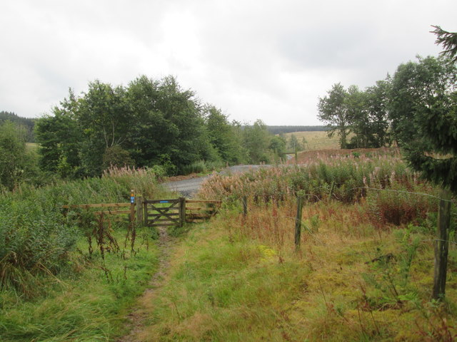
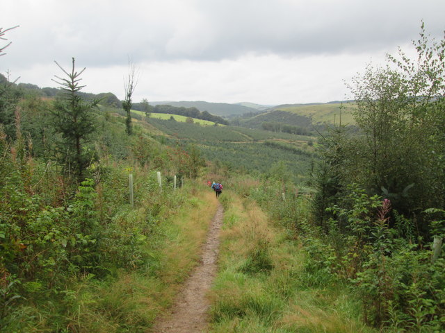
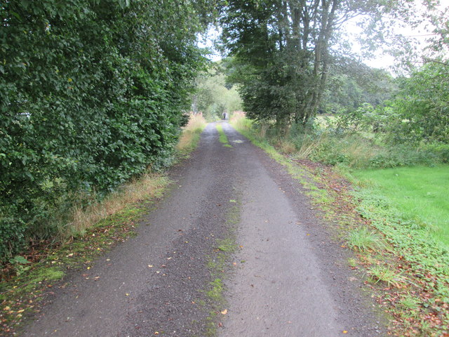
The woodland area of James's Plantation is filled with a diverse range of tree species, including oak, beech, ash, and birch. This creates a stunning natural landscape, especially during the autumn season when the foliage transforms into a vibrant spectrum of reds, oranges, and yellows. The canopy formed by the mature trees allows for a shaded and tranquil atmosphere, providing a peaceful retreat from the bustling city life.

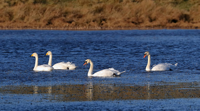
The plantation also boasts several walking trails that wind their way through the forest, offering visitors the opportunity to explore the natural wonders of the area. These trails provide a chance to observe the local wildlife, such as deer, squirrels, and a variety of bird species. Birdwatchers will particularly enjoy the presence of rare species, including the elusive golden eagle and the colorful kingfisher.

James's Plantation is not only a haven for nature enthusiasts but also a place of historical significance. The estate has been owned by the James family for generations and has witnessed various historical events. The estate's grand mansion, which dates back to the 18th century, stands as a testament to the rich history and architectural beauty of the area.

In summary, James's Plantation in Roxburghshire is a captivating woodland estate that offers both natural beauty and historical significance. With its diverse flora and fauna, it provides an ideal setting for nature lovers, hikers, and history enthusiasts alike.

If you have any feedback on the listing, please let us know in the comments section below.

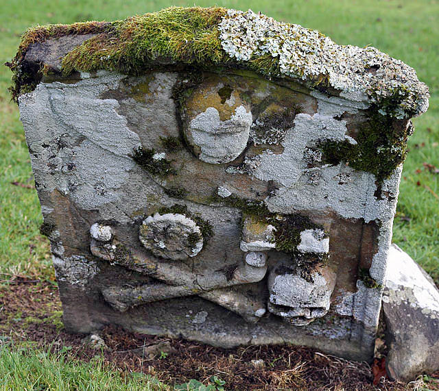
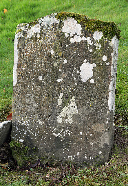
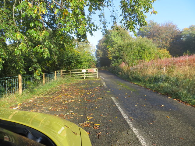
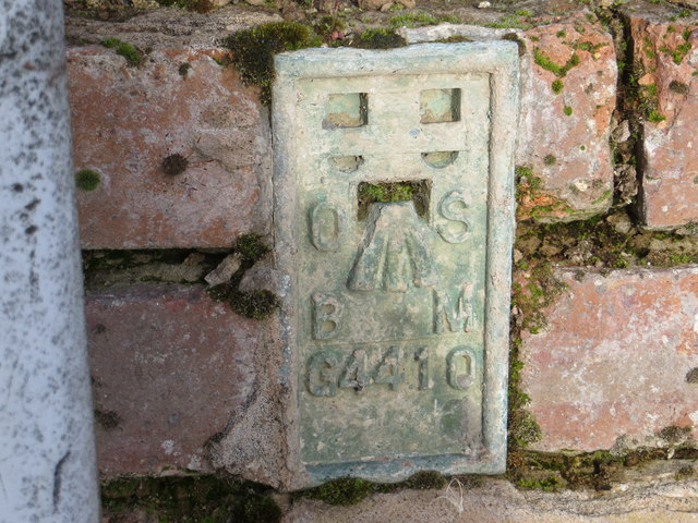
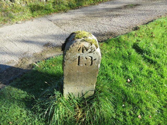
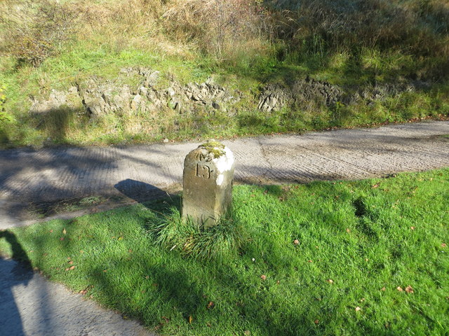
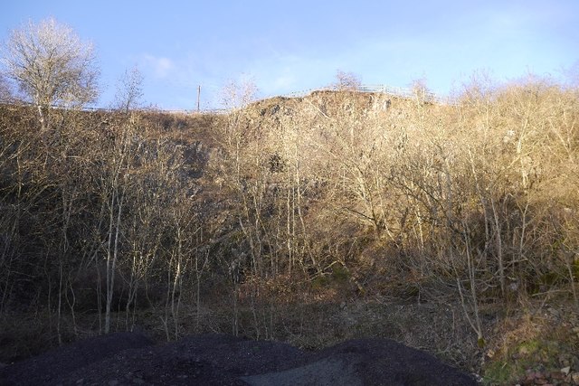
James's Plantation Images

Images are sourced within 2km of 55.489034/-2.8248438 or Grid Reference NT4722. Thanks to Geograph Open Source API. All images are credited.

A symbolic gravestone in Ashkirk Parish Churchyard This 18th century stone, which is leaning forwards, displays the classic symbols of mortality with crossed femur bones, a horizontal hourglass and a death’s head skull. A winged soul at the top of the stone is a symbol of immortality representing the human spirit.
A symbolic gravestone in Ashkirk Parish Churchyard
This 18th century stone, which is leaning forwards, displays the classic symbols of mortality with crossed femur bones, a horizontal hourglass and a death’s head skull. A winged soul at the top of the stone is a symbol of immortality representing the human spirit.
He was only 363 when he died The inscription on this Crawford gravestone in Ashkirk Parish Churchyard is interesting and amusing because the 18th century mason has carved the age of Robert Crawford as 363 when he died. The inscription reads:

HERE LYES
JOHN CRAWFORD
LATE TENNENT IN
DRAYDIAN WHO
DIED MAY 26 1744
AGID 78

Also Robert Crawford Son
late tenant in Branksholme
Town who died Sept 7 1767
Aged 363 years

For a view of the other side of the stone, see <a href="https://www.geograph.org.uk/photo/4739479">NT4622 : A symbolic gravestone in Ashkirk Parish Churchyard</a>.
He was only 363 when he died
The inscription on this Crawford gravestone in Ashkirk Parish Churchyard is interesting and amusing because the 18th century mason has carved the age of Robert Crawford as 363 when he died. The inscription reads: HERE LYES JOHN CRAWFORD LATE TENNENT IN DRAYDIAN WHO DIED MAY 26 1744 AGID 78 Also Robert Crawford Son late tenant in Branksholme Town who died Sept 7 1767 Aged 363 years For a view of the other side of the stone, see NT4622 : A symbolic gravestone in Ashkirk Parish Churchyard.
By-passed section of road (A7) at Synton Mossend Looking north-westward.
By-passed section of road (A7) at Synton Mossend
Looking north-westward.
Ordnance Survey Flush Bracket G4410 This can be found on the wall of the foundations of a demolished farm building at Ashkirktown.
For more detail see : <span class="nowrap"><a title="http://www.bench-marks.org.uk/bm17575" rel="nofollow ugc noopener" href="http://www.bench-marks.org.uk/bm17575">Link</a><img style="margin-left:2px;" alt="External link" title="External link - shift click to open in new window" src="https://s1.geograph.org.uk/img/external.png" width="10" height="10"/></span>
Ordnance Survey Flush Bracket G4410
This can be found on the wall of the foundations of a demolished farm building at Ashkirktown. For more detail see : LinkExternal link
Ordnance Survey Cut Mark with Rivet This can be found in the driveway to Dryden Stables.
For more information see : <span class="nowrap"><a title="http://www.bench-marks.org.uk/bm72387" rel="nofollow ugc noopener" href="http://www.bench-marks.org.uk/bm72387">Link</a><img style="margin-left:2px;" alt="External link" title="External link - shift click to open in new window" src="https://s1.geograph.org.uk/img/external.png" width="10" height="10"/></span>
Ordnance Survey Cut Mark with Rivet
This can be found in the driveway to Dryden Stables. For more information see : LinkExternal link
Milestone Edinburgh 43 miles (re-positioned) This milestone once stood beside the A7 at NT 475 230  but during re-alignment of the road was discarded. The owner of Dryden Stables found it in a ditch and re-positioned it on his driveway. A bit of history preserved.
Milestone Edinburgh 43 miles (re-positioned)
This milestone once stood beside the A7 at NT 475 230 but during re-alignment of the road was discarded. The owner of Dryden Stables found it in a ditch and re-positioned it on his driveway. A bit of history preserved.
Quarry, Synton 8 years after <a href="https://www.geograph.org.uk/photo/1048573">NT4823 : Quarry, Synton</a>
Quarry, Synton
8 years after NT4823 : Quarry, Synton
The edge of Ashkirk The village of Ashkirk is very spread out but does have a small concentrated group of houses near the junction with the A7. This picture was taken just on the edge of the village close to the Ale Water which is the stream / burn that runs through the village.
The edge of Ashkirk
The village of Ashkirk is very spread out but does have a small concentrated group of houses near the junction with the A7. This picture was taken just on the edge of the village close to the Ale Water which is the stream / burn that runs through the village.
Synton Loch The landscape is showing winter colours in this early December view. Some wildfowl and swans were on the loch.
Synton Loch
The landscape is showing winter colours in this early December view. Some wildfowl and swans were on the loch.
Swans on Synton Loch The whooper swans on the left and mute swans on the right were viewed in early December. For a view of the loch and boathouse, see <a href="https://www.geograph.org.uk/photo/5998403">NT4820 : Synton Loch</a>.
Swans on Synton Loch
The whooper swans on the left and mute swans on the right were viewed in early December. For a view of the loch and boathouse, see NT4820 : Synton Loch.
Synton Loch Boathouse For a wider view of the area, see <a href="https://www.geograph.org.uk/photo/5998403">NT4820 : Synton Loch</a>.
Synton Loch Boathouse
For a wider view of the area, see NT4820 : Synton Loch.
Woodland  and  rough  grazing, large  pond  in  the  bottom From B A Way on forestry road
Woodland and rough grazing, large pond in the bottom
From B A Way on forestry road
Gate  onto  forest  road  Ashkirk  Hill  forest
Gate onto forest road Ashkirk Hill forest
Borders Abbeys  Way  through  Salenside  Plantation
Borders Abbeys Way through Salenside Plantation
Access  road  from  Salenside  Shiel It bridges the Ale Water then out onto a minor road
Access road from Salenside Shiel
It bridges the Ale Water then out onto a minor road
The  Ale  Water  toward  Ashkirk
The Ale Water toward Ashkirk
Wrapping  bales  of  hay  in  field  with  tractor A one man operation. From B A Way
Wrapping bales of hay in field with tractor
A one man operation. From B A Way
Wrapping  bales  of  hay  in  field  with  tractor  (2) Picks a second bale up while first is being wrapped, when wrapped dropped off the back and the second bale brought up to start wrapping, a one man operation
Wrapping bales of hay in field with tractor (2)
Picks a second bale up while first is being wrapped, when wrapped dropped off the back and the second bale brought up to start wrapping, a one man operation
Show me another place!

James's Plantation is located at Grid Ref: NT4722 (Lat: 55.489034, Lng: -2.8248438)

Unitary Authority: The Scottish Borders

Police Authority: The Lothians and Scottish Borders

What 3 Words

///wages.glitz.towels. Near Selkirk, Scottish Borders

Related Wikis

Woll

Woll is a village on the Ale Water, off the A7, in the Ettrick Forest, north of Hawick, and south of Selkirk in the Scottish Borders area of Scotland....

Ashkirk

Ashkirk is a small village on the Ale Water, in the Scottish Borders area of Scotland. It is located just off the A7 road, approximately 6 miles (10 kilometres...

Salenside

Salenside is a village off the A7, on the Ale Water, near Ashkirk, in the Scottish Borders area of Scotland, in the former Selkirkshire. There was a Salenside...

Bowismiln

Bowismiln is a village in the Scottish Borders area of Scotland. == See also == List of places in the Scottish Borders List of places in Scotland ��2...

Nearby Amenities

Located within 500m of 55.489034,-2.8248438
Blackcastle Hill
Natural: peak
Lat/Long: 55.485806/-2.8222927
Synton Mains
Place: hamlet
Lat/Long: 55.4924081/-2.8297397
Noexit: yes
Lat/Long: 55.4927094/-2.8290288
Power: pole
Lat/Long: 55.4927844/-2.8282325
Power: pole
Lat/Long: 55.4923312/-2.828038
Power: pole
Lat/Long: 55.4924098/-2.8255543
Power: pole
Lat/Long: 55.4922184/-2.8266634
Power: pole
Lat/Long: 55.4919905/-2.8278691
Power: pole
Lat/Long: 55.4914647/-2.8290761
Power: pole
Lat/Long: 55.4910088/-2.830047
Power: pole
Lat/Long: 55.4900317/-2.832233
Power: pole
Lat/Long: 55.4905226/-2.8311548
Power: pole
Lat/Long: 55.489269/-2.8321116
Power: pole
Lat/Long: 55.488719/-2.8320318
Power: pole
Lat/Long: 55.4926264/-2.8243545
Power: pole
Lat/Long: 55.4931501/-2.8231005
Power: pole
Lat/Long: 55.4923128/-2.8231442
Power: pole
Lat/Long: 55.4920619/-2.8221812
Power: pole
Lat/Long: 55.4919292/-2.8216714
Power: pole
Lat/Long: 55.4920108/-2.8207032
Power: pole
Lat/Long: 55.4917687/-2.8194723
Power: pole
Lat/Long: 55.4883812/-2.8184629
Power: pole
Lat/Long: 55.4888714/-2.8180329
Power: pole
Lat/Long: 55.4892099/-2.8177239
Power: pole
Lat/Long: 55.4895454/-2.8174407
Power: pole
Lat/Long: 55.4898416/-2.8171214
The data included in this document is from www.openstreetmap.org. The data is made available under ODbL.

Have you been to James's Plantation?

Leave your review of James's Plantation below (or comments, questions and feedback).