Boarland Wood
Wood, Forest in East Lothian
Scotland
Boarland Wood
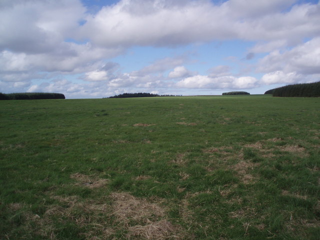
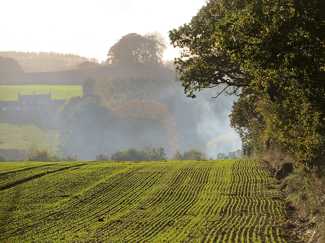
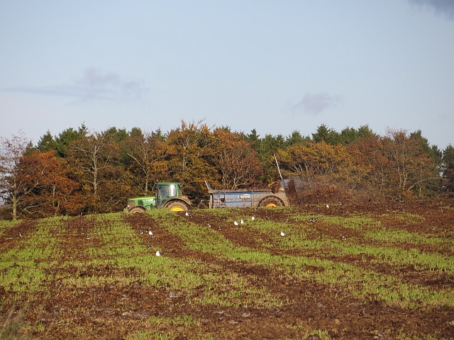
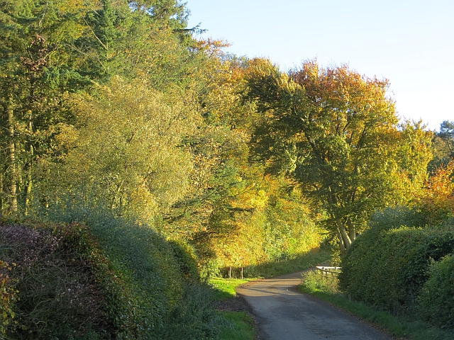
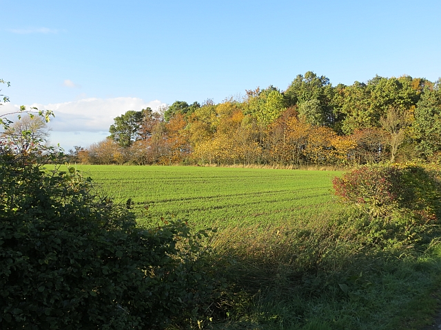
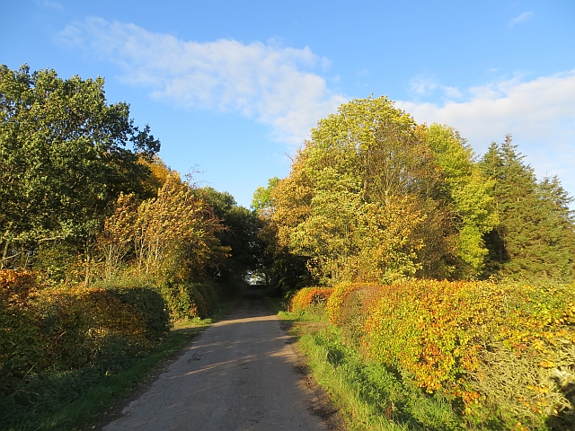
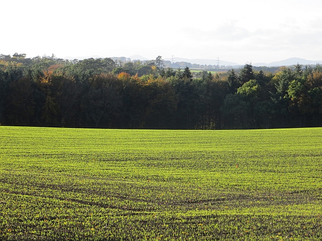
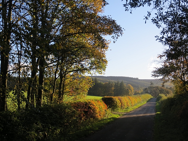
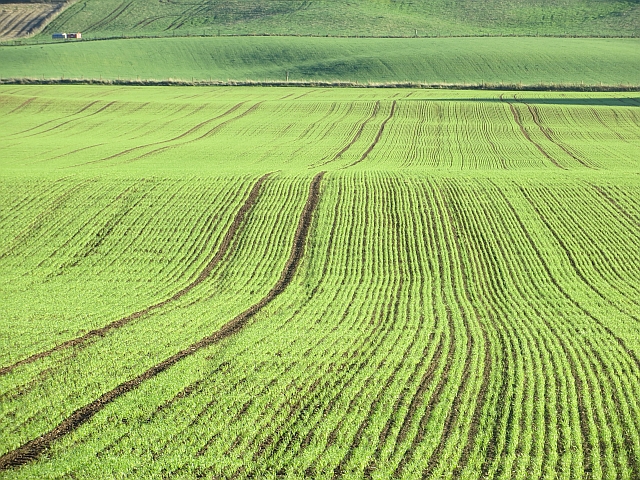
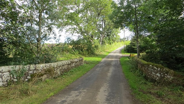
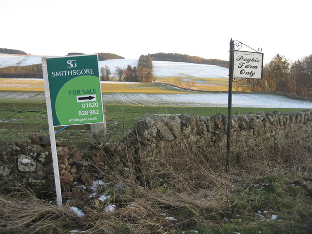
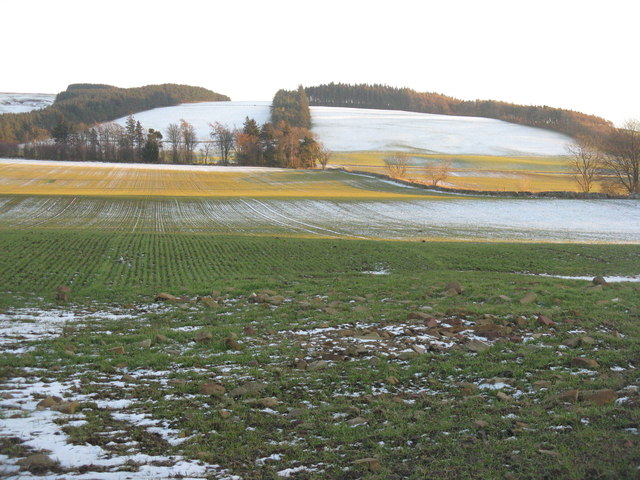
Boarland Wood, located in East Lothian, Scotland, is a picturesque and ancient forest that covers an area of approximately 100 acres. It is nestled in the heart of the countryside, offering a tranquil escape from the hustle and bustle of city life. The wood is easily accessible, located just a short drive from the nearby town of Haddington.
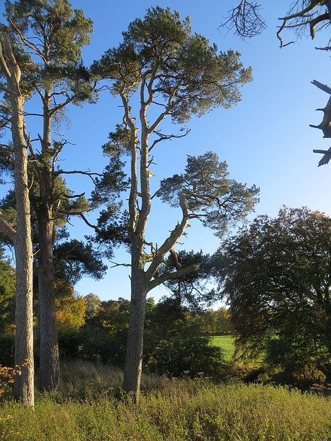
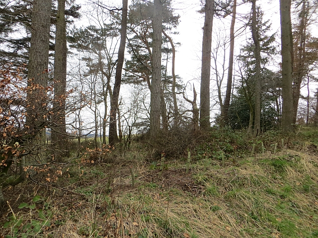
The woodland is predominantly composed of native trees, including oak, birch, and beech, which create a dense canopy overhead. These trees have been growing for centuries, giving the wood an enchanting and timeless atmosphere. In addition to the beautiful trees, Boarland Wood is adorned with a variety of vibrant wildflowers and ferns, adding to its natural charm.
The wood is home to a diverse array of wildlife, making it a popular spot for nature enthusiasts and birdwatchers. Visitors may have the chance to spot species such as red squirrels, roe deer, and various woodland birds. The tranquil setting also provides an ideal habitat for a variety of insects and small mammals.
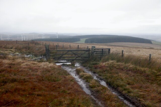
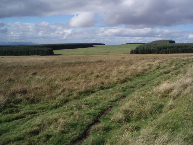
Walking trails crisscross through the wood, allowing visitors to explore its natural beauty at their own pace. These paths lead to secluded clearings and viewpoints, offering stunning vistas of the surrounding countryside. The wood is also intersected by a small stream, which adds to its serene ambiance.
Boarland Wood is not only a haven for wildlife but also a valuable resource for the local community. It is frequently used for educational purposes, providing a hands-on learning experience for school children and nature enthusiasts alike. The wood also offers a peaceful retreat for those seeking solace in nature's embrace.
If you have any feedback on the listing, please let us know in the comments section below.
Boarland Wood Images
Images are sourced within 2km of 55.843042/-2.8320226 or Grid Reference NT4761. Thanks to Geograph Open Source API. All images are credited.

Boarland Wood is located at Grid Ref: NT4761 (Lat: 55.843042, Lng: -2.8320226)
Unitary Authority: East Lothian
Police Authority: The Lothians and Scottish Borders
What 3 Words
///retailing.detonated.tender. Near Pencaitland, East Lothian
Nearby Locations
Related Wikis

Humbie
Humbie is a hamlet and rural parish in East Lothian, Scotland lying in south-east of the county, approximately 10 miles (16 km) south-west of Haddington...
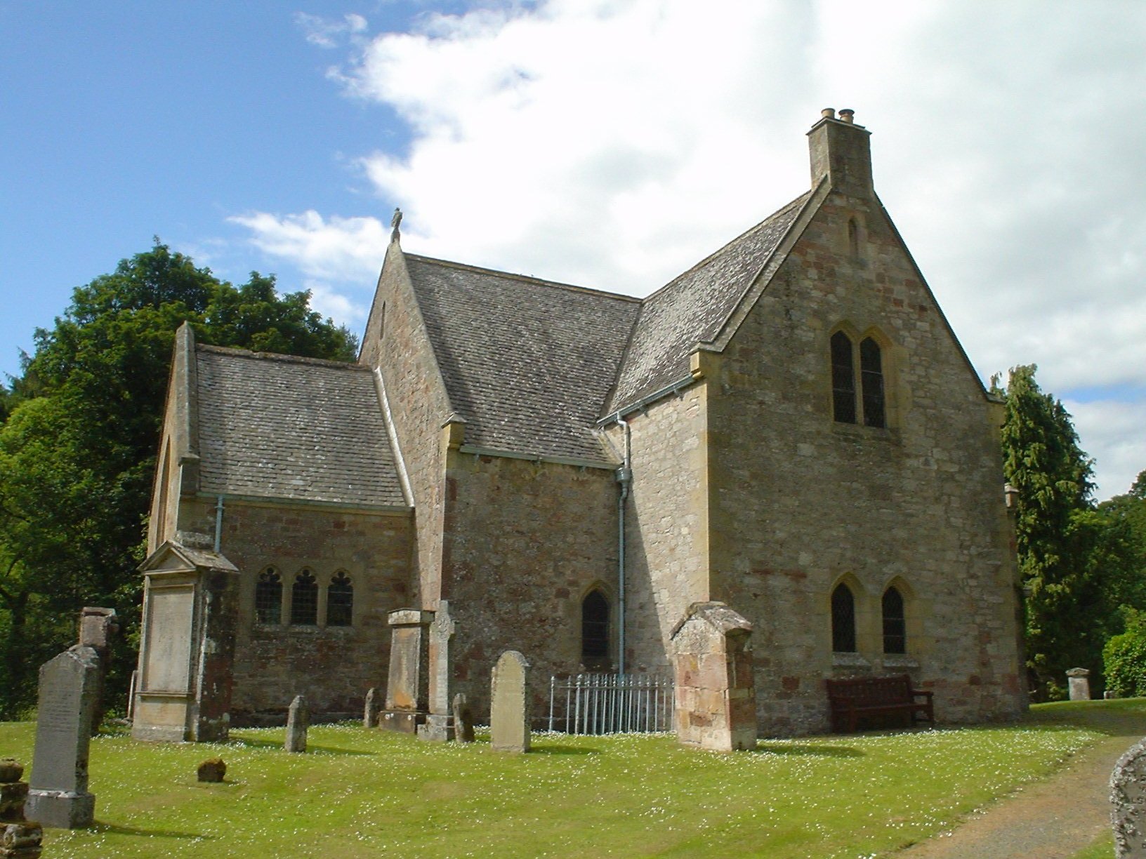
Humbie Parish Church
Humbie Parish Church is a church in the small village of Humbie, East Lothian, Scotland. It is part of the Church of Scotland, and is a linked charge which...

Fala, Midlothian
Fala is a hamlet in the south-eastern corner of Midlothian, Scotland, and about 15 miles from Edinburgh. == Location == The parish of the same name is...

Humbie railway station
Humbie railway station served the civil parish of Humbie, East Lothian, Scotland, from 1901 to 1933 on the Macmerry Branch. == History == The station was...
Nearby Amenities
Located within 500m of 55.843042,-2.8320226Have you been to Boarland Wood?
Leave your review of Boarland Wood below (or comments, questions and feedback).