Pyat Sike Plantation
Wood, Forest in Roxburghshire
Scotland
Pyat Sike Plantation
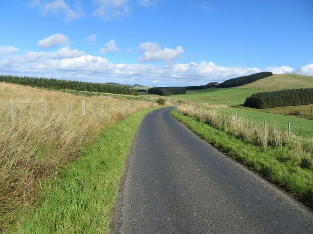
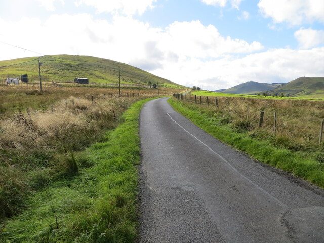
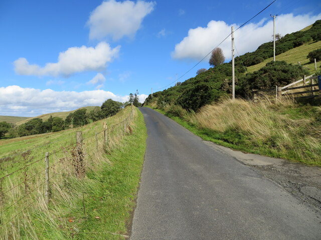
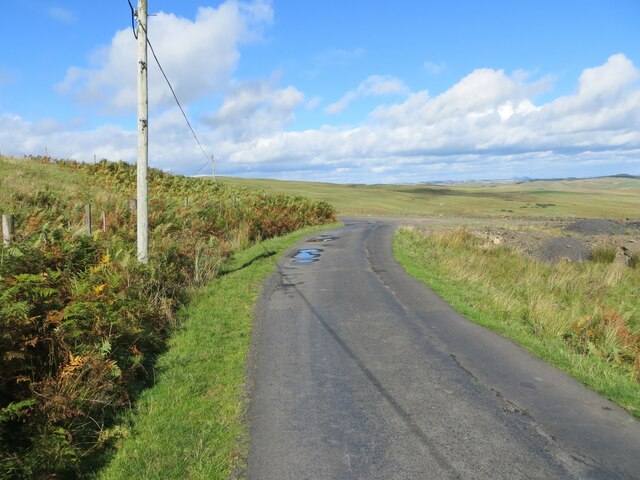
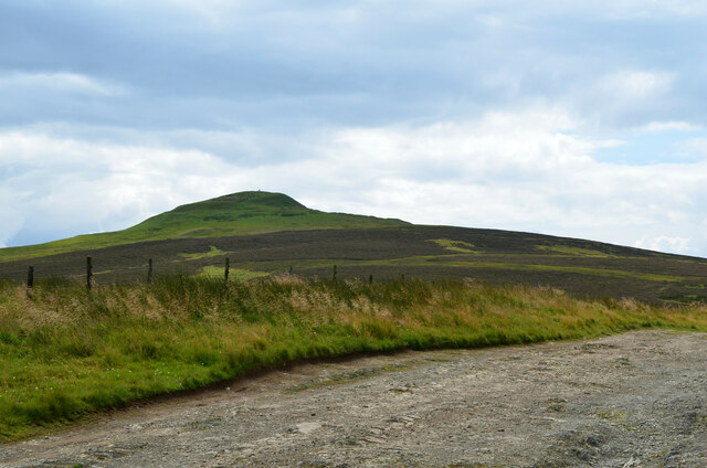
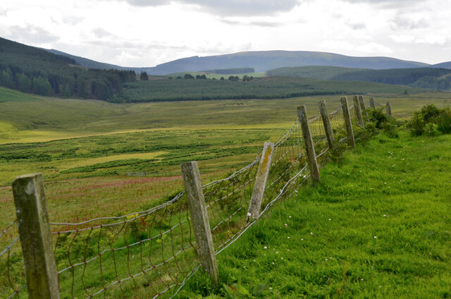
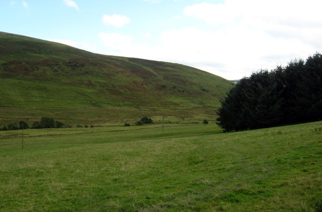
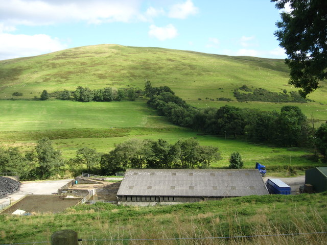
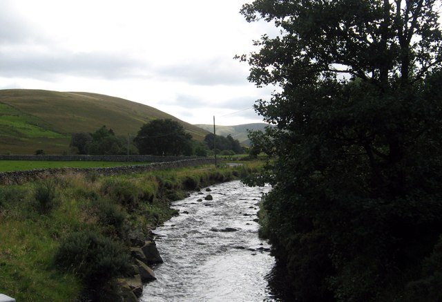
Pyat Sike Plantation is a sprawling woodland located in Roxburghshire, Scotland. Covering an area of approximately 200 hectares, this picturesque forest is nestled in the heart of the Scottish Borders. The plantation is renowned for its diverse range of tree species and its tranquil ambiance, making it a popular destination for nature enthusiasts and hikers alike.
The woodland is predominantly composed of native Scottish trees, including oak, birch, and pine. These towering trees provide a lush canopy that filters the sunlight, creating a dappled effect on the forest floor below. The understory is rich with a variety of plant species, such as ferns, mosses, and wildflowers, adding to the area's natural beauty.
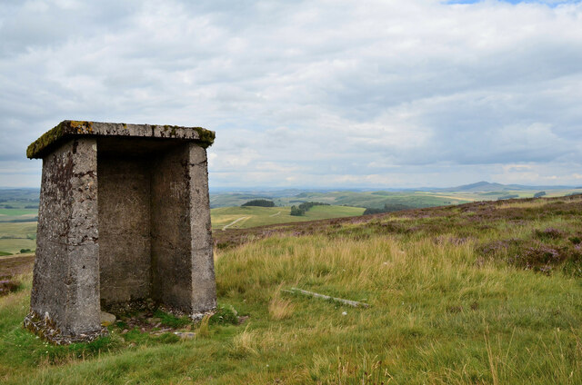
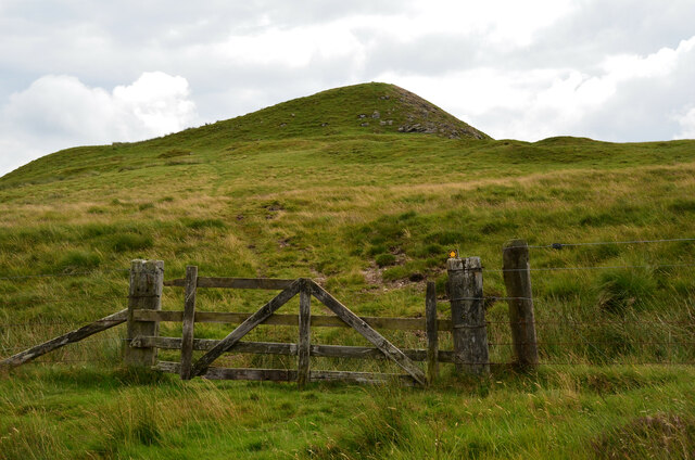
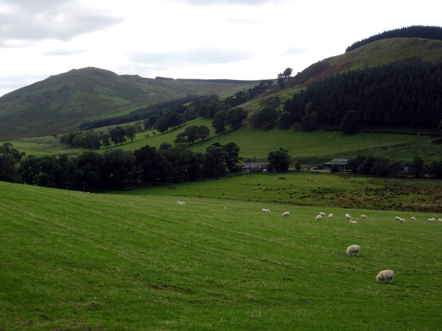
Pyat Sike Plantation is crisscrossed with a network of well-maintained trails, allowing visitors to explore the woodland at their own pace. The trails wind through the forest, leading to scenic viewpoints, secluded picnic spots, and serene streams. Along the way, visitors may encounter a range of wildlife, including deer, foxes, and various bird species, making it a haven for wildlife enthusiasts and birdwatchers.
In addition to its recreational value, Pyat Sike Plantation also plays an important ecological role. The forest helps to regulate the local climate, purify the air, and prevent soil erosion. It also provides a habitat for a diverse array of flora and fauna, contributing to the overall biodiversity of the region.
Overall, Pyat Sike Plantation is a captivating woodland that offers a serene escape from the hustle and bustle of everyday life. Whether you are seeking a peaceful walk, a glimpse of wildlife, or simply a place to reconnect with nature, this Roxburghshire gem is sure to leave a lasting impression.
If you have any feedback on the listing, please let us know in the comments section below.
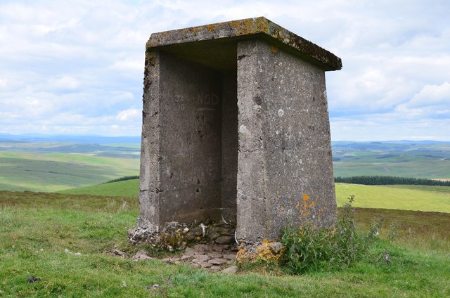
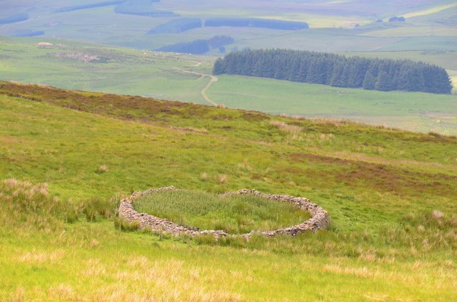
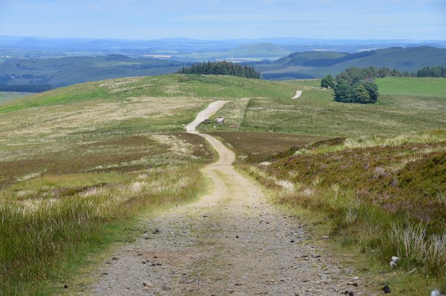
Pyat Sike Plantation Images
Images are sourced within 2km of 55.339394/-2.8245845 or Grid Reference NT4705. Thanks to Geograph Open Source API. All images are credited.


Pyat Sike Plantation is located at Grid Ref: NT4705 (Lat: 55.339394, Lng: -2.8245845)
Unitary Authority: The Scottish Borders
Police Authority: The Lothians and Scottish Borders
What 3 Words
///trailing.arrives.clustered. Near Teviothead, Scottish Borders
Nearby Locations
Related Wikis

Maiden Paps (Hawick)
The Maiden Paps are twin hills near Hawick, in the Scottish Borders of the south east of Scotland, so named because they have the shape of human breasts...

Shankend
Shankend Manor was a sixteenth-century mansion located some six miles (ten kilometres) south of Hawick, close to Whitrope Siding in Scotland. It was constructed...

Shankend railway station
Shankend railway station served the hamlet of Shankend, Scottish Borders, Scotland from 1862 to 1969 on the Border Union Railway. == History == The station...

Stobs Military Camp
Stobs Camp is a military and internment camp located just outside Hawick in the Scottish Borders. It is an internationally important site due to its level...

Broadhaugh
Broadhaugh is a hamlet in the Scottish Borders area of Scotland, in the parish of Teviothead, in former Roxburghshire. == See also == List of places in...
Stobs railway station
Stobs railway station served the hamlet of Barnes, Scottish Borders, Scotland from 1862 to 1969 on the Border Union Railway. == History == The station...

Cauldcleuch Head
Cauldcleuch Head is a hill in an unnamed range of Roxburghshire hills north of Langholm, part of the Southern Uplands of Scotland. The highest hill in...

Newmill-on-Teviot
Newmill-on-Teviot, commonly called Newmill, is a hamlet in the Scottish Borders, 7 kilometres (4.3 mi) south of Hawick on the River Teviot. The remains...
Nearby Amenities
Located within 500m of 55.339394,-2.8245845Have you been to Pyat Sike Plantation?
Leave your review of Pyat Sike Plantation below (or comments, questions and feedback).