Scar Plantation

Wood, Forest in Roxburghshire

Scotland

Scar Plantation

Pasture lands deep in the Roxburghshire hills
Pasture lands deep in the Roxburghshire hills Credit: James Denham

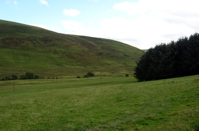
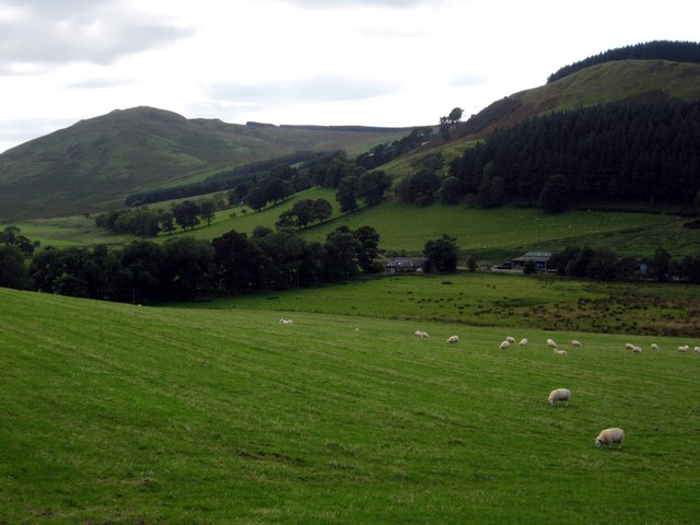
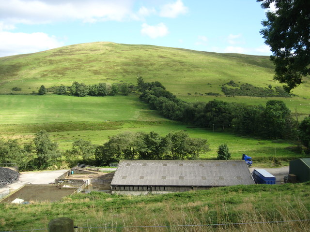
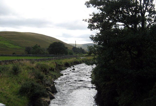
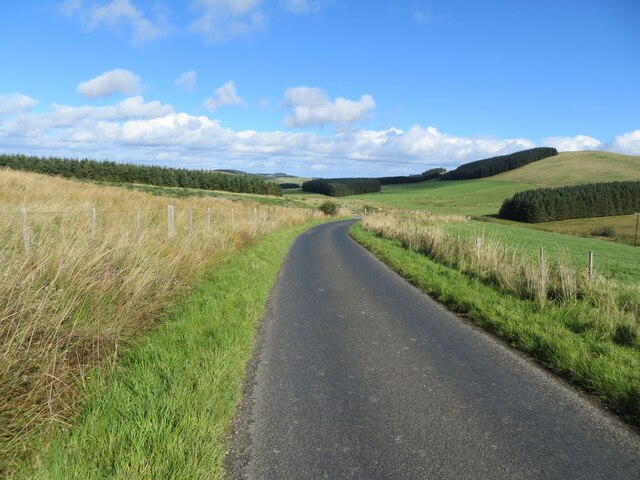
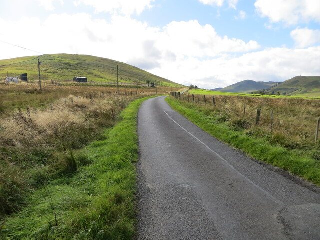
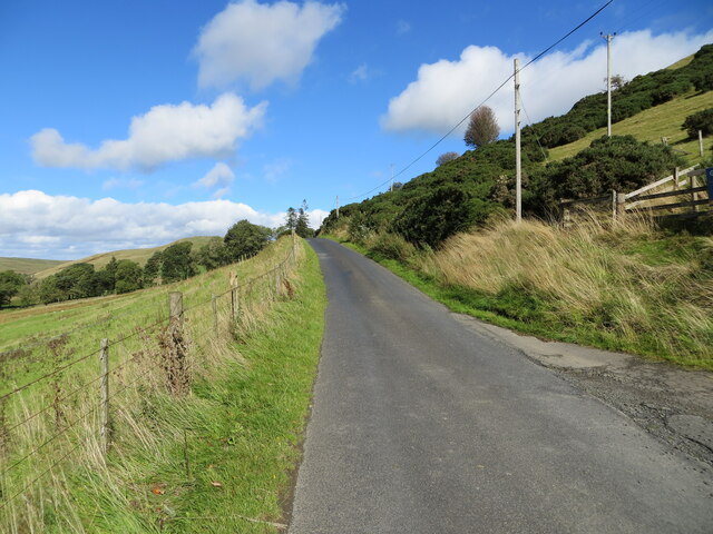
Scar Plantation is a woodland area located in the county of Roxburghshire, in the Scottish Borders region of Scotland. It is situated near the village of Scar, approximately 4 miles southeast of the town of Kelso. The plantation covers an expansive area of approximately 200 acres.

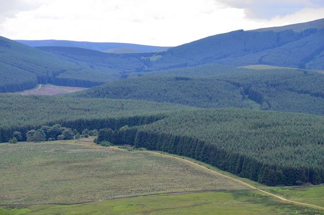
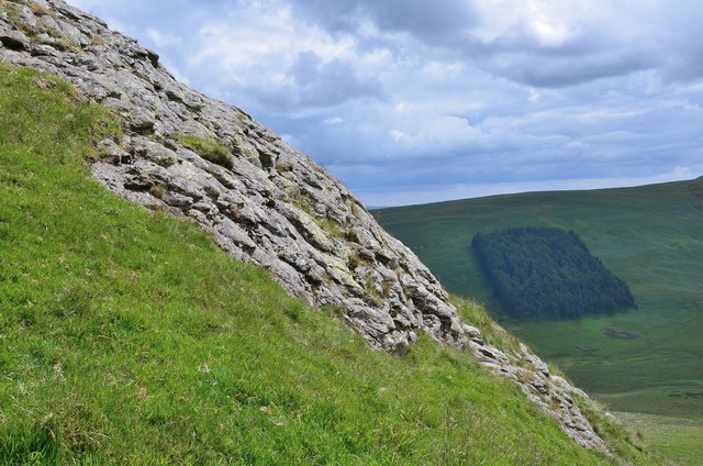
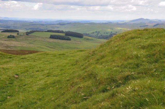
The woodland consists primarily of coniferous trees, with a mix of species such as Scots pine, Sitka spruce, and Douglas fir. The trees in Scar Plantation are well-established, with many reaching impressive heights and providing a dense canopy that creates a tranquil and peaceful atmosphere.

The plantation is managed by the Forestry Commission Scotland, who have implemented sustainable forestry practices to ensure the long-term health and biodiversity of the woodland. This includes regular thinning and replanting, as well as the creation of open spaces to encourage the growth of native flora and fauna.

Scar Plantation offers a variety of recreational activities for visitors to enjoy. There are several walking trails and paths that wind their way through the woodland, providing opportunities for leisurely strolls and nature walks. The plantation is also a popular spot for birdwatching, with a diverse range of bird species that can be spotted throughout the year.

Overall, Scar Plantation is a beautiful and well-maintained woodland area that offers a peaceful retreat for nature lovers and outdoor enthusiasts. Its location, diverse tree species, and recreational opportunities make it a popular destination for locals and tourists alike.

If you have any feedback on the listing, please let us know in the comments section below.

Scar Plantation Images

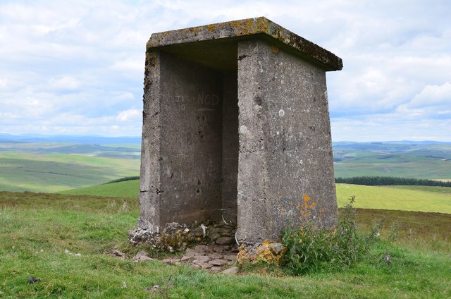
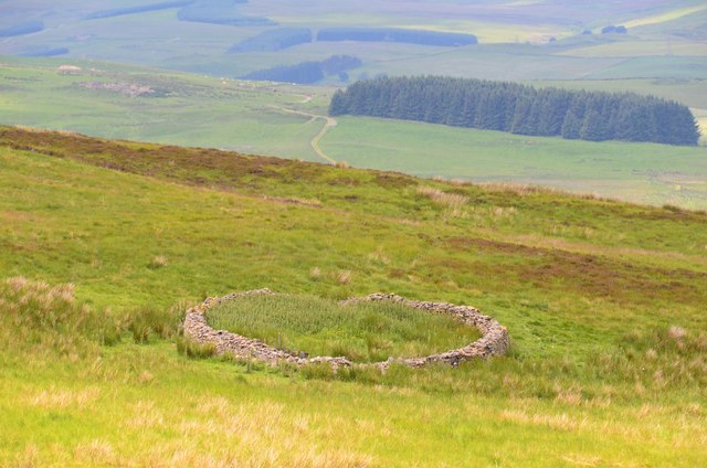
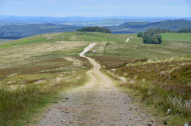
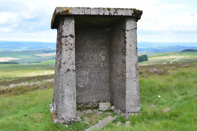
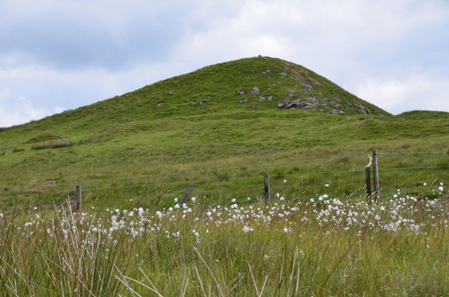
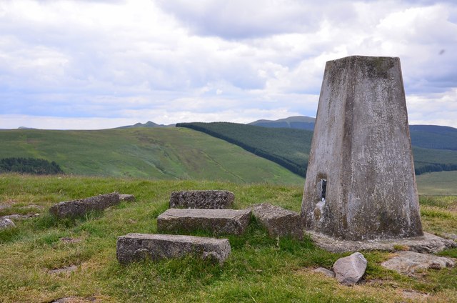
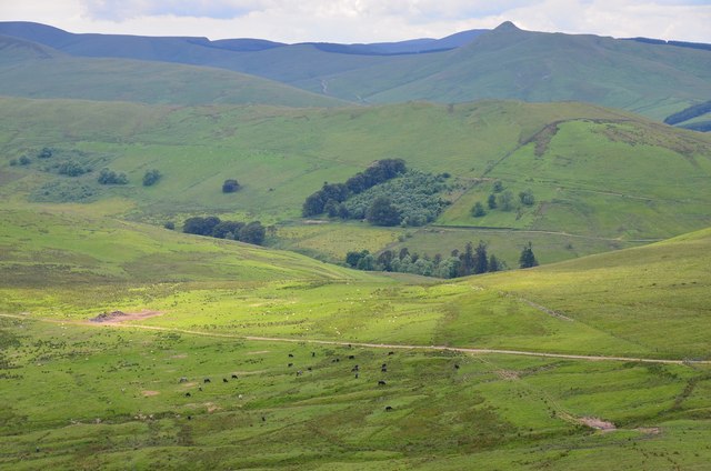
Images are sourced within 2km of 55.34134/-2.8291501 or Grid Reference NT4705. Thanks to Geograph Open Source API. All images are credited.

Pasture lands deep in the Roxburghshire hills
A valley of peace in Roxburghshire Near Skelfhill and Priesthaugh.
A valley of peace in Roxburghshire
Near Skelfhill and Priesthaugh.
Looking over industrial buildings to the beautiful hills beyond North of Priesthaugh. To the right of the buildings (out of shot) is a lovely private home which was formerly the Allan Water school.
Looking over industrial buildings to the beautiful hills beyond
North of Priesthaugh. To the right of the buildings (out of shot) is a lovely private home which was formerly the Allan Water school.
The Dod Burn Near Skelfhill Farm in Roxburghshire.
The Dod Burn
Near Skelfhill Farm in Roxburghshire.
Concrete shelter near Penchrise Pen Presumably a relic of the Stobs Military Camp; there is an identical structure about half a km to the S, shown in <a href="https://www.geograph.org.uk/photo/258027">NT4806 : A concrete shelter near Penchrise Pen</a>.
Concrete shelter near Penchrise Pen
Presumably a relic of the Stobs Military Camp; there is an identical structure about half a km to the S, shown in NT4806 : A concrete shelter near Penchrise Pen.
Sheepfold on White Hill A traditional style circular drystane sheepfold seen from the track on Penchrise Pen.
Sheepfold on White Hill
A traditional style circular drystane sheepfold seen from the track on Penchrise Pen.
Track on Penchrise Pen Looking back down the track towards White Knowe and Barns.
Track on Penchrise Pen
Looking back down the track towards White Knowe and Barns.
Shelter on Penchrise Pen A twin to the structure shown in <a href="https://www.geograph.org.uk/photo/4052148">NT4807 : Concrete shelter near Penchrise Pen</a>, about half a km to the NW.
Shelter on Penchrise Pen
A twin to the structure shown in NT4807 : Concrete shelter near Penchrise Pen, about half a km to the NW.
Cotton grass by the summit of Penchrise Pen A boggy area just below the summit cone and ramparts of the hill fort. There is a gate in the fence, though it is spanned by a strand of barbed wire.
Cotton grass by the summit of Penchrise Pen
A boggy area just below the summit cone and ramparts of the hill fort. There is a gate in the fence, though it is spanned by a strand of barbed wire.
Summit trig pillar, Penchrise Pen Looking from this 439m summit to the twin summits of Maiden Paps (510m) and part of the extensive forest plantations in this area of the Borders. 'Pen' is from the old Welsh language once spoken in southern Scotland, describing a distinctive peak, and the name is still in use in these parts. The concrete blocks were probably from a structure connected with the Stobs Military Camp to the north.
Summit trig pillar, Penchrise Pen
Looking from this 439m summit to the twin summits of Maiden Paps (510m) and part of the extensive forest plantations in this area of the Borders. 'Pen' is from the old Welsh language once spoken in southern Scotland, describing a distinctive peak, and the name is still in use in these parts. The concrete blocks were probably from a structure connected with the Stobs Military Camp to the north.
Southwest from Penchrise Pen Looking across the broad ridge crossed by the track heading for the forest plantations at Hawk Hass to the peak of Skelfhill Pen (532m), another of the several prominent summits of resistant igneous rocks dating from the early Carboniferous period. On the intermediate ridge in the centre is Brae Plantation.
Southwest from Penchrise Pen
Looking across the broad ridge crossed by the track heading for the forest plantations at Hawk Hass to the peak of Skelfhill Pen (532m), another of the several prominent summits of resistant igneous rocks dating from the early Carboniferous period. On the intermediate ridge in the centre is Brae Plantation.
Forestry around Peelbraehope This view from the summit of Penchrise Pen shows just a small part of the forestry plantations in this area. Left of centre is the clearing at Peelbraehope (see <a href="https://www.geograph.org.uk/photo/671029">NT4804 : Peelbraehope</a>) with the track from Barns to Hawkhass coming in from the lower right.
Forestry around Peelbraehope
This view from the summit of Penchrise Pen shows just a small part of the forestry plantations in this area. Left of centre is the clearing at Peelbraehope (see NT4804 : Peelbraehope) with the track from Barns to Hawkhass coming in from the lower right.
Rock outcrop on Penchrise Pen Igneous rocks play a major part in the landscape here, with volcanic plugs, necks and lava flows having helped shape the topography we now see. The chapter entitled 'Volcanoes of the steamy wetlands' explains more in 'Death of an Ocean' by E Clarkson and B Upton, Dunedin Edinburgh, 2010.
The shelter belt in the background is Burnt Craig Wood below Stirkcleuch Height.
Rock outcrop on Penchrise Pen
Igneous rocks play a major part in the landscape here, with volcanic plugs, necks and lava flows having helped shape the topography we now see. The chapter entitled 'Volcanoes of the steamy wetlands' explains more in 'Death of an Ocean' by E Clarkson and B Upton, Dunedin Edinburgh, 2010. The shelter belt in the background is Burnt Craig Wood below Stirkcleuch Height.
Hill fort ramparts on Penchrise Pen Near the summit, looking NNE over Newton Hill to Rubers Law in the distance, right.
Hill fort ramparts on Penchrise Pen
Near the summit, looking NNE over Newton Hill to Rubers Law in the distance, right.
Minor road and bridge at Dodburn Looking northward. Dod Burn flows beneath the bridge.
Minor road and bridge at Dodburn
Looking northward. Dod Burn flows beneath the bridge.
Minor road descending towards Dodburn Looking north-eastward.
Minor road descending towards Dodburn
Looking north-eastward.
Minor road near to Dodburn Filter Looking south-westward.
Minor road near to Dodburn Filter
Looking south-westward.
Minor road near to Priesthaugh Looking north-eastward.
Minor road near to Priesthaugh
Looking north-eastward.
Show me another place!

Scar Plantation is located at Grid Ref: NT4705 (Lat: 55.34134, Lng: -2.8291501)

Unitary Authority: The Scottish Borders

Police Authority: The Lothians and Scottish Borders

What 3 Words

///decently.factor.bookshop. Near Teviothead, Scottish Borders

Related Wikis

Maiden Paps (Hawick)

The Maiden Paps are twin hills near Hawick, in the Scottish Borders of the south east of Scotland, so named because they have the shape of human breasts...

Stobs Military Camp

Stobs Camp is a military and internment camp located just outside Hawick in the Scottish Borders. It is an internationally important site due to its level...

Shankend

Shankend Manor was a sixteenth-century mansion located some six miles (ten kilometres) south of Hawick, close to Whitrope Siding in Scotland. It was constructed...

Broadhaugh

Broadhaugh is a hamlet in the Scottish Borders area of Scotland, in the parish of Teviothead, in former Roxburghshire. == See also == List of places in...

Nearby Amenities

Located within 500m of 55.34134,-2.8291501
Power: pole
Lat/Long: 55.3449655/-2.8312363
Power: pole
Lat/Long: 55.34426/-2.8314002
Power: pole
Lat/Long: 55.343995/-2.8317534
Power: pole
Lat/Long: 55.3436825/-2.8321874
Power: pole
Lat/Long: 55.3430281/-2.8330962
Power: pole
Lat/Long: 55.3423819/-2.8339879
Power: pole
Lat/Long: 55.3419269/-2.8345986
Power: pole
Lat/Long: 55.3414997/-2.8352073
Power: pole
Lat/Long: 55.3410507/-2.8359883
Power: pole
Lat/Long: 55.3405896/-2.8367884
Power: pole
Lat/Long: 55.3433476/-2.8318769
Power: pole
Lat/Long: 55.3428381/-2.8314747
Power: pole
Lat/Long: 55.3423674/-2.8310831
The data included in this document is from www.openstreetmap.org. The data is made available under ODbL.

Have you been to Scar Plantation?

Leave your review of Scar Plantation below (or comments, questions and feedback).