North Plantation

Wood, Forest in East Lothian

Scotland

North Plantation

Gullane Links Looking over Aberlady Bay from high ground on the golf courses.
Gullane Links Credit: Richard Webb

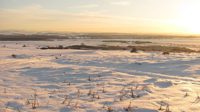
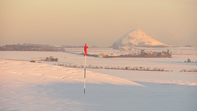
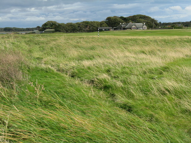
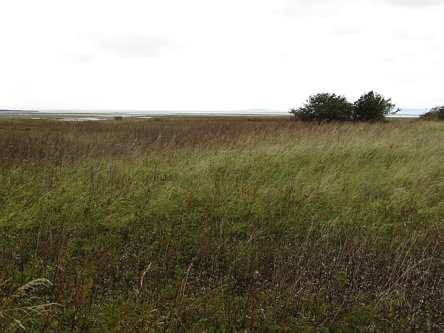
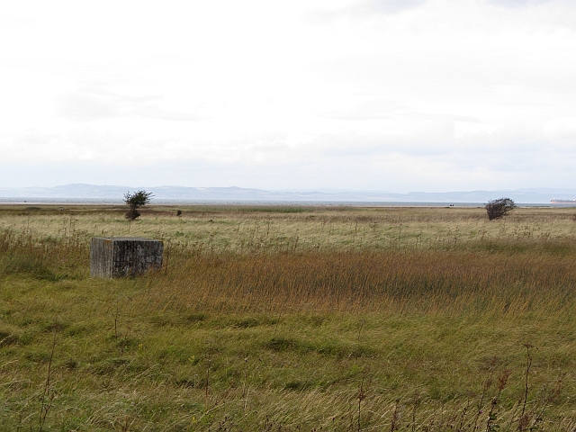
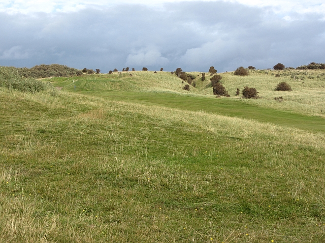
North Plantation is a woodland area located in East Lothian, Scotland. Situated in the eastern part of the country, it covers a vast expanse of land and is known for its dense forest and natural beauty. The plantation is nestled within the picturesque landscape of East Lothian, surrounded by rolling hills and lush green fields.

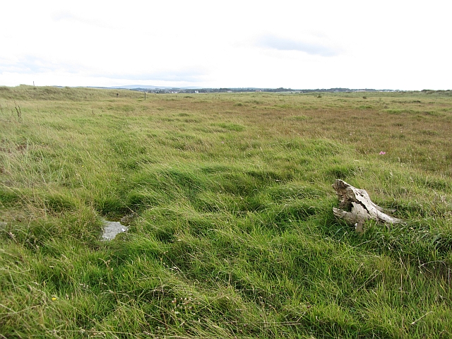
The woodland is primarily composed of various species of trees, including oak, pine, and birch, creating a diverse and vibrant ecosystem. These trees provide a habitat for a wide range of wildlife, including birds, mammals, and insects. The forest floor is covered in a blanket of moss, ferns, and wildflowers, adding to the enchanting atmosphere of the area.

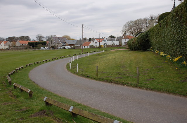
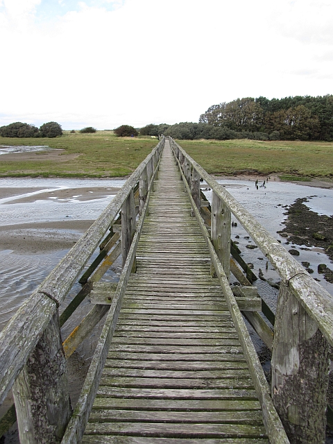
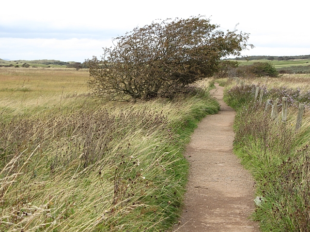
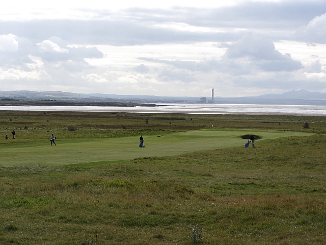
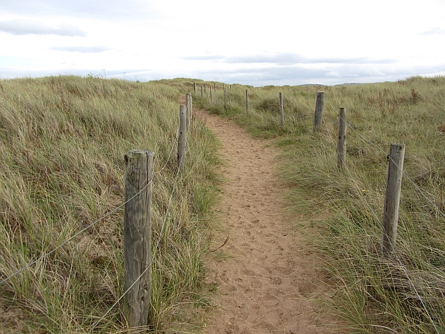
North Plantation offers a multitude of recreational opportunities for visitors. There are several well-maintained walking trails that wind through the woodland, allowing visitors to explore the natural surroundings at their own pace. These paths are also popular among joggers and dog walkers, as they provide a serene environment for exercise.

The woodland is managed by local authorities, who ensure the preservation of the natural habitat while also providing amenities for visitors. There are picnic areas and benches scattered throughout the plantation, offering the perfect spot for a leisurely lunch or a moment of relaxation amidst nature.

North Plantation is not only a haven for nature enthusiasts but also serves as an important ecological site. It plays a vital role in maintaining the region's biodiversity and serves as a valuable carbon sink, helping to mitigate the effects of climate change. The woodland also contributes to the overall well-being of the local community by providing a peaceful and rejuvenating environment for all to enjoy.

If you have any feedback on the listing, please let us know in the comments section below.

North Plantation Images

Images are sourced within 2km of 56.017688/-2.8435869 or Grid Reference NT4780. Thanks to Geograph Open Source API. All images are credited.

Gullane Links Looking over Aberlady Bay from high ground on the golf courses.
Gullane Links
Looking over Aberlady Bay from high ground on the golf courses.
Gullane Links Snow covered golf courses.
Gullane Links
Snow covered golf courses.
Gullane Links View over the golf courses towards Edinburgh.
Gullane Links
View over the golf courses towards Edinburgh.
Gullane Links A green on some of the higher ground at Gullane with a view of North Berwick Law.
Gullane Links
A green on some of the higher ground at Gullane with a view of North Berwick Law.
Aberlady Bay from the coastal road The lane on the left leads to Kilspindie Golf Club, and the Fife coast is in view across the Firth of Forth.
Aberlady Bay from the coastal road
The lane on the left leads to Kilspindie Golf Club, and the Fife coast is in view across the Firth of Forth.
Seafront houses, Aberlady Seen from the road to Kilspindie Golf Club.
Seafront houses, Aberlady
Seen from the road to Kilspindie Golf Club.
Information board, the Port of Aberlady Aberlady was a port in the 16th century, with a last known shipment in 1875. Since then the bay has silted up, precluding its use as a port, but leaving an area of tidal sands that attracts wading birds. The artist’s impression shows the port as it would have looked c. 1560.


The first paragraph of smaller print reads:

"The construction of a harbour at Aberlady was commissioned in 1535. The port building and custom house – ‘the Town of Haddington’s House’ – was commissioned one year later. Timber, tanning oil, linseed cake and guano were primary imports while large amounts of wool, hides and grain were exported."
Information board, the Port of Aberlady
Aberlady was a port in the 16th century, with a last known shipment in 1875. Since then the bay has silted up, precluding its use as a port, but leaving an area of tidal sands that attracts wading birds. The artist’s impression shows the port as it would have looked c. 1560. The first paragraph of smaller print reads: "The construction of a harbour at Aberlady was commissioned in 1535. The port building and custom house – ‘the Town of Haddington’s House’ – was commissioned one year later. Timber, tanning oil, linseed cake and guano were primary imports while large amounts of wool, hides and grain were exported."
Temporary traffic lights on the A198 at Gullane The 2011 US Kids Golf European Championship was held from 31st May to 2nd June over Gullane Number 2, Gullane Number 3, Craigielaw, Luffness New and Longniddry golf courses. This is one of three temporary traffic light-controlled pedestrian crossings on the A198 road that were installed for the event. In this photo senior players are using the crossing to move from the 1st green to the 2nd tee on Gullane Number 2 course.
Temporary traffic lights on the A198 at Gullane
The 2011 US Kids Golf European Championship was held from 31st May to 2nd June over Gullane Number 2, Gullane Number 3, Craigielaw, Luffness New and Longniddry golf courses. This is one of three temporary traffic light-controlled pedestrian crossings on the A198 road that were installed for the event. In this photo senior players are using the crossing to move from the 1st green to the 2nd tee on Gullane Number 2 course.
Gullane Number 2 Golf Course This is a view of the downhill 17th par 4 hole towards Gullane with the A198 road behind the green. The distinctive shape of North Berwick Law is on the far right. The course was built in 1898 and the 1st and 18th holes are on the east side of the A198 road.
Gullane Number 2 Golf Course
This is a view of the downhill 17th par 4 hole towards Gullane with the A198 road behind the green. The distinctive shape of North Berwick Law is on the far right. The course was built in 1898 and the 1st and 18th holes are on the east side of the A198 road.
Kilspindie Golf Club The clubhouse, looking from the edge of the course near Aberlady Point.
Kilspindie Golf Club
The clubhouse, looking from the edge of the course near Aberlady Point.
Aberlady footbridge The wooden bridge which crosses the tidal Peffer Burn at Aberlady Bay.
Aberlady footbridge
The wooden bridge which crosses the tidal Peffer Burn at Aberlady Bay.
Rough ground, Aberlady Bay Very rough ground beside the Peffer Burn. It is a mass of seed heads from summer flowers and a rich source of food for finches.
Rough ground, Aberlady Bay
Very rough ground beside the Peffer Burn. It is a mass of seed heads from summer flowers and a rich source of food for finches.
Yellow Mires An extensive wetland expanse by Aberlady Bay. One of the World War II anti tank blocks can be seen.
Yellow Mires
An extensive wetland expanse by Aberlady Bay. One of the World War II anti tank blocks can be seen.
Path, Aberlady Bay A popular and well surfaced path to the beach by Gullane Point.
Path, Aberlady Bay
A popular and well surfaced path to the beach by Gullane Point.
Golf course, Gullane The extensive links land around Gullane is home to several golf courses.
Golf course, Gullane
The extensive links land around Gullane is home to several golf courses.
Golf course, Gullane A view over a green and towards Cockenzie power station.
Golf course, Gullane
A view over a green and towards Cockenzie power station.
Path, Gullane Links Ignore the map, this is some way inland. The path is towards the end of a walk in to a usually quiet beach. Today there was no one about.
Path, Gullane Links
Ignore the map, this is some way inland. The path is towards the end of a walk in to a usually quiet beach. Today there was no one about.
Dune slacks, Gullane Links Wetland with old driftwood behind a new line of dunes off Aberlady Bay. This is far inland now, although mapped as an intertidal zone. The coast is rapidly changing here as it is at Tentsmuir and Belhaven Bay.
Dune slacks, Gullane Links
Wetland with old driftwood behind a new line of dunes off Aberlady Bay. This is far inland now, although mapped as an intertidal zone. The coast is rapidly changing here as it is at Tentsmuir and Belhaven Bay.
Show me another place!

North Plantation is located at Grid Ref: NT4780 (Lat: 56.017688, Lng: -2.8435869)

Unitary Authority: East Lothian

Police Authority: The Lothians and Scottish Borders

What 3 Words

///cautious.rummage.pairings. Near Aberlady, East Lothian

Related Wikis

Luffness

Luffness is a hamlet in East Lothian, Scotland. It lies between the towns of Gullane and Aberlady and is approximately 20 miles east of Edinburgh. ��2...

Luffness Castle

Luffness Castle, also known as Luffness House, is a house built in a former fortification near the village of Aberlady, East Lothian, Scotland. ��2�...

Luffness Platform railway station

Luffness Platform (also known as Luffness Golf Club Halt) served a golf course near Gullane in Scotland. It was served by the Aberlady, Gullane and North...
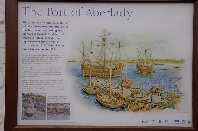
Aberlady

Aberlady (Scots: Aiberleddy, Gaelic: Obar Lobhaite) is a coastal village in the Scottish council area of East Lothian. The village had an estimated population...

Nearby Amenities

Located within 500m of 56.017688,-2.8435869
Bus Stop
Luffness Golf Club
Naptan AtcoCode: 627002030005
Naptan Bearing: N
Naptan BusStopType: CUS
Naptan CommonName: Luffness Golf Club
Naptan Indicator: opposite Entrance
Naptan NaptanCode: 58235246
Naptan Street: A198
Naptan Verified: no
Public Transport: platform
Shelter: no
Source: naptan_import
Tactile Paving: no
Lat/Long: 56.0201358/-2.8399666
Bus Stop
Luffness Golf Club
Naptan AtcoCode: 627002040005
Naptan Bearing: S
Naptan BusStopType: CUS
Naptan CommonName: Luffness Golf Club
Naptan Indicator: at Entrance
Naptan NaptanCode: 58235247
Naptan Street: A198
Naptan Verified: no
Public Transport: platform
Shelter: no
Source: naptan_import
Tactile Paving: no
Lat/Long: 56.0202897/-2.8398094
Aberlady Bay
Information: map
Tourism: information
Lat/Long: 56.0158189/-2.85035
Bicycle Parking
Bicycle Parking: stands
Capacity: 4
Covered: no
Lat/Long: 56.0158414/-2.8503892
Power: pole
Lat/Long: 56.0197623/-2.8368975
Power: pole
Lat/Long: 56.020441/-2.8373833
The data included in this document is from www.openstreetmap.org. The data is made available under ODbL.

Have you been to North Plantation?

Leave your review of North Plantation below (or comments, questions and feedback).