Blackford Plantation

Wood, Forest in East Lothian

Scotland

Blackford Plantation

Gullane Links Looking over Aberlady Bay from high ground on the golf courses.
Gullane Links Credit: Richard Webb

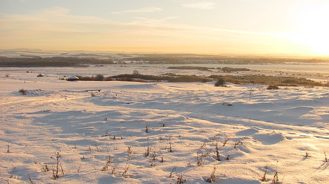
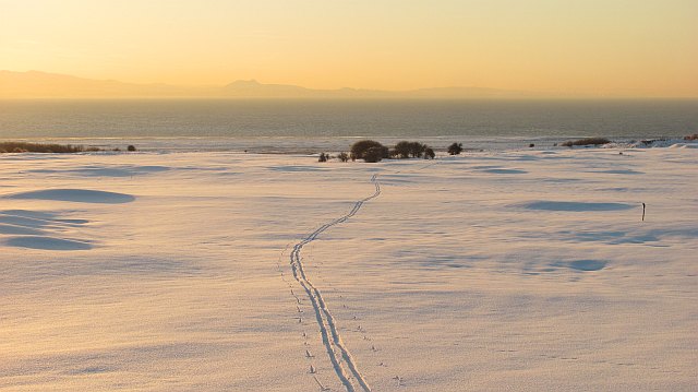
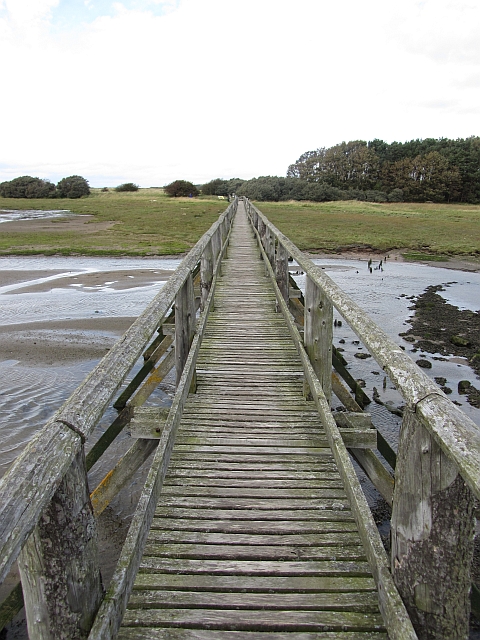
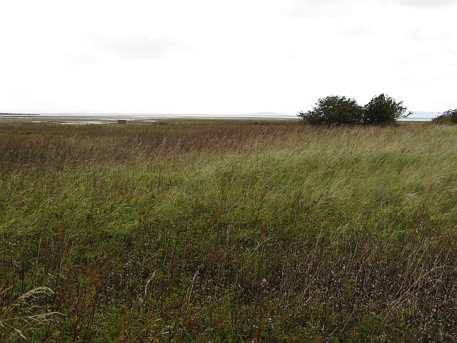
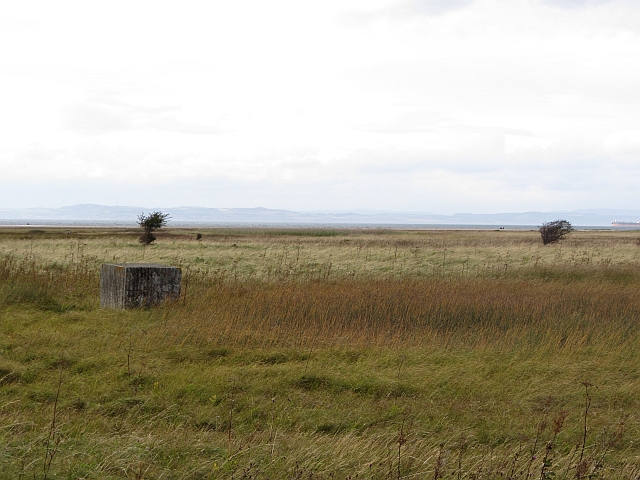
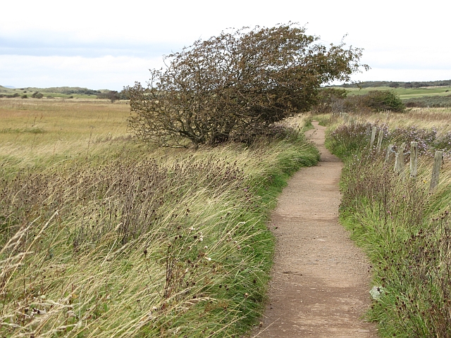
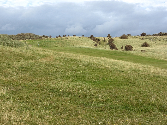
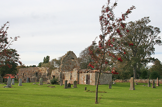
Blackford Plantation is a picturesque woodland located in East Lothian, Scotland. Covering an area of approximately 100 acres, it is a popular destination for nature enthusiasts and outdoor activities. The plantation is situated on the slopes of the Lammermuir Hills, offering stunning panoramic views of the surrounding countryside.

The woodland is predominantly composed of native species such as oak, beech, and birch trees, creating a diverse and vibrant ecosystem. It is also home to a variety of wildlife, including deer, foxes, and a wide range of bird species.

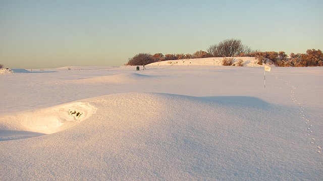
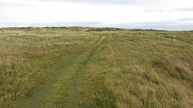
Visitors to Blackford Plantation can enjoy a network of well-maintained walking trails, allowing them to explore the woodland at their own pace. These paths wind through the enchanting forest, taking visitors past bubbling streams, tranquil ponds, and hidden glades. The plantation is particularly renowned for its beautiful displays of wildflowers, which carpet the forest floor in vibrant hues during the spring and summer months.

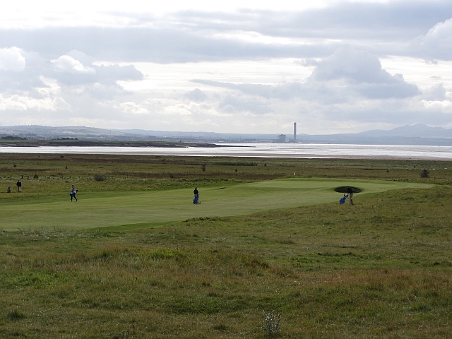
The plantation is also a haven for outdoor recreational activities. It offers opportunities for mountain biking, horseback riding, and birdwatching. The tranquil atmosphere and natural beauty of the woodland make it an ideal spot for picnics and family outings.

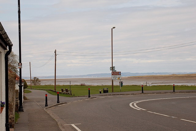
Blackford Plantation is easily accessible, located just a short drive from the town of Haddington. It provides a welcome escape from the hustle and bustle of everyday life, offering visitors a chance to immerse themselves in the tranquility of nature.

If you have any feedback on the listing, please let us know in the comments section below.

Blackford Plantation Images

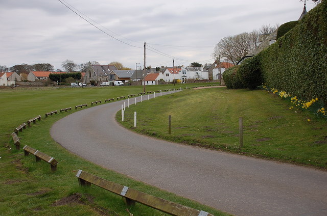
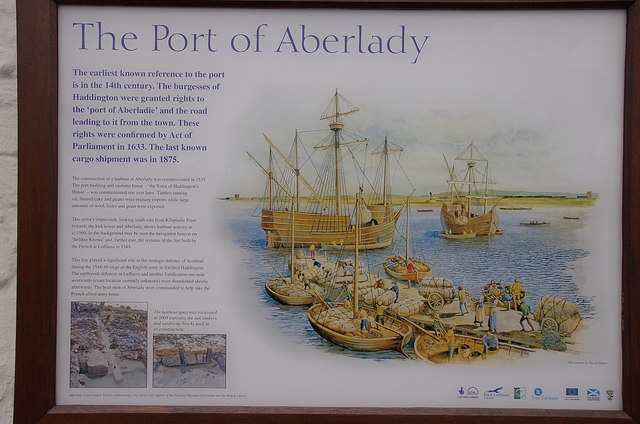
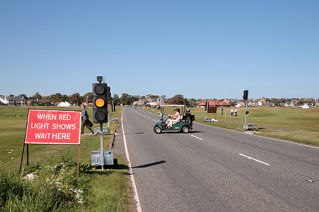
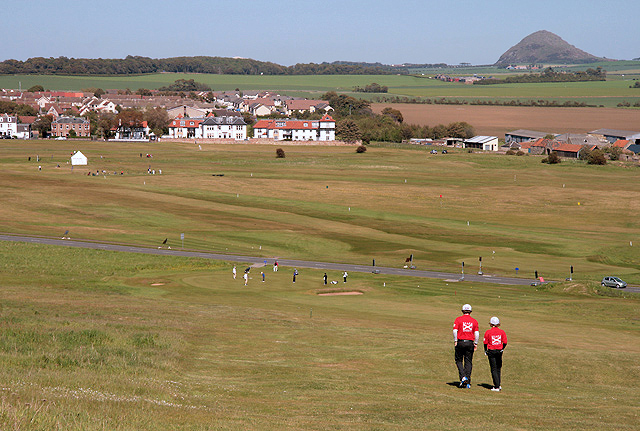
Images are sourced within 2km of 56.016977/-2.8398819 or Grid Reference NT4780. Thanks to Geograph Open Source API. All images are credited.

Gullane Links Looking over Aberlady Bay from high ground on the golf courses.
Gullane Links
Looking over Aberlady Bay from high ground on the golf courses.
Gullane Links Snow covered golf courses.
Gullane Links
Snow covered golf courses.
Gullane Links View over the golf courses towards Edinburgh.
Gullane Links
View over the golf courses towards Edinburgh.
Gullane Links A green on some of the higher ground at Gullane with a view of North Berwick Law.
Gullane Links
A green on some of the higher ground at Gullane with a view of North Berwick Law.
Aberlady Bay from the coastal road The lane on the left leads to Kilspindie Golf Club, and the Fife coast is in view across the Firth of Forth.
Aberlady Bay from the coastal road
The lane on the left leads to Kilspindie Golf Club, and the Fife coast is in view across the Firth of Forth.
Seafront houses, Aberlady Seen from the road to Kilspindie Golf Club.
Seafront houses, Aberlady
Seen from the road to Kilspindie Golf Club.
Information board, the Port of Aberlady Aberlady was a port in the 16th century, with a last known shipment in 1875. Since then the bay has silted up, precluding its use as a port, but leaving an area of tidal sands that attracts wading birds. The artist’s impression shows the port as it would have looked c. 1560.


The first paragraph of smaller print reads:

"The construction of a harbour at Aberlady was commissioned in 1535. The port building and custom house – ‘the Town of Haddington’s House’ – was commissioned one year later. Timber, tanning oil, linseed cake and guano were primary imports while large amounts of wool, hides and grain were exported."
Information board, the Port of Aberlady
Aberlady was a port in the 16th century, with a last known shipment in 1875. Since then the bay has silted up, precluding its use as a port, but leaving an area of tidal sands that attracts wading birds. The artist’s impression shows the port as it would have looked c. 1560. The first paragraph of smaller print reads: "The construction of a harbour at Aberlady was commissioned in 1535. The port building and custom house – ‘the Town of Haddington’s House’ – was commissioned one year later. Timber, tanning oil, linseed cake and guano were primary imports while large amounts of wool, hides and grain were exported."
Temporary traffic lights on the A198 at Gullane The 2011 US Kids Golf European Championship was held from 31st May to 2nd June over Gullane Number 2, Gullane Number 3, Craigielaw, Luffness New and Longniddry golf courses. This is one of three temporary traffic light-controlled pedestrian crossings on the A198 road that were installed for the event. In this photo senior players are using the crossing to move from the 1st green to the 2nd tee on Gullane Number 2 course.
Temporary traffic lights on the A198 at Gullane
The 2011 US Kids Golf European Championship was held from 31st May to 2nd June over Gullane Number 2, Gullane Number 3, Craigielaw, Luffness New and Longniddry golf courses. This is one of three temporary traffic light-controlled pedestrian crossings on the A198 road that were installed for the event. In this photo senior players are using the crossing to move from the 1st green to the 2nd tee on Gullane Number 2 course.
Gullane Number 2 Golf Course This is a view of the downhill 17th par 4 hole towards Gullane with the A198 road behind the green. The distinctive shape of North Berwick Law is on the far right. The course was built in 1898 and the 1st and 18th holes are on the east side of the A198 road.
Gullane Number 2 Golf Course
This is a view of the downhill 17th par 4 hole towards Gullane with the A198 road behind the green. The distinctive shape of North Berwick Law is on the far right. The course was built in 1898 and the 1st and 18th holes are on the east side of the A198 road.
Aberlady footbridge The wooden bridge which crosses the tidal Peffer Burn at Aberlady Bay.
Aberlady footbridge
The wooden bridge which crosses the tidal Peffer Burn at Aberlady Bay.
Rough ground, Aberlady Bay Very rough ground beside the Peffer Burn. It is a mass of seed heads from summer flowers and a rich source of food for finches.
Rough ground, Aberlady Bay
Very rough ground beside the Peffer Burn. It is a mass of seed heads from summer flowers and a rich source of food for finches.
Yellow Mires An extensive wetland expanse by Aberlady Bay. One of the World War II anti tank blocks can be seen.
Yellow Mires
An extensive wetland expanse by Aberlady Bay. One of the World War II anti tank blocks can be seen.
Path, Aberlady Bay A popular and well surfaced path to the beach by Gullane Point.
Path, Aberlady Bay
A popular and well surfaced path to the beach by Gullane Point.
Golf course, Gullane The extensive links land around Gullane is home to several golf courses.
Golf course, Gullane
The extensive links land around Gullane is home to several golf courses.
Golf course, Gullane A view over a green and towards Cockenzie power station.
Golf course, Gullane
A view over a green and towards Cockenzie power station.
Gullane Links Well inland, despite what the maps say. A path from Aberlady Bay runs beside an enclosure surrounded by an electric fence.
Gullane Links
Well inland, despite what the maps say. A path from Aberlady Bay runs beside an enclosure surrounded by an electric fence.
Electric fence spools, Gullane Links Spools which held the wires for an electric fence. There is a large enclosure fenced off here, probably a tern nesting area, although the terns are long gone by September.
Electric fence spools, Gullane Links
Spools which held the wires for an electric fence. There is a large enclosure fenced off here, probably a tern nesting area, although the terns are long gone by September.
St Andrews Kirk The ruins of the ancient kirk are almost the first thing to greet you as you enter the small town of Gullane.
St Andrews Kirk
The ruins of the ancient kirk are almost the first thing to greet you as you enter the small town of Gullane.
Show me another place!

Blackford Plantation is located at Grid Ref: NT4780 (Lat: 56.016977, Lng: -2.8398819)

Unitary Authority: East Lothian

Police Authority: The Lothians and Scottish Borders

What 3 Words

///holly.finely.sketching. Near Aberlady, East Lothian

Related Wikis

Luffness

Luffness is a hamlet in East Lothian, Scotland. It lies between the towns of Gullane and Aberlady and is approximately 20 miles east of Edinburgh. ��2...

Luffness Castle

Luffness Castle, also known as Luffness House, is a house built in a former fortification near the village of Aberlady, East Lothian, Scotland. ��2�...

Luffness Platform railway station

Luffness Platform (also known as Luffness Golf Club Halt) served a golf course near Gullane in Scotland. It was served by the Aberlady, Gullane and North...

Saltcoats Castle

Saltcoats Castle is a courtyard castle dating from the sixteenth century, about .5 miles (0.80 km) south of Gullane in East Lothian, Scotland. It is designated...

Nearby Amenities

Located within 500m of 56.016977,-2.8398819
Bus Stop
Luffness Golf Club
Naptan AtcoCode: 627002030005
Naptan Bearing: N
Naptan BusStopType: CUS
Naptan CommonName: Luffness Golf Club
Naptan Indicator: opposite Entrance
Naptan NaptanCode: 58235246
Naptan Street: A198
Naptan Verified: no
Public Transport: platform
Shelter: no
Source: naptan_import
Tactile Paving: no
Lat/Long: 56.0201358/-2.8399666
Bus Stop
Luffness Golf Club
Naptan AtcoCode: 627002040005
Naptan Bearing: S
Naptan BusStopType: CUS
Naptan CommonName: Luffness Golf Club
Naptan Indicator: at Entrance
Naptan NaptanCode: 58235247
Naptan Street: A198
Naptan Verified: no
Public Transport: platform
Shelter: no
Source: naptan_import
Tactile Paving: no
Lat/Long: 56.0202897/-2.8398094
Power: pole
Lat/Long: 56.01495/-2.8339897
Power: pole
Lat/Long: 56.0157731/-2.8344163
Power: pole
Lat/Long: 56.0197623/-2.8368975
Power: pole
Lat/Long: 56.020441/-2.8373833
Power: pole
Lat/Long: 56.0211417/-2.8378734
The data included in this document is from www.openstreetmap.org. The data is made available under ODbL.

Have you been to Blackford Plantation?

Leave your review of Blackford Plantation below (or comments, questions and feedback).