Limekiln Strip

Wood, Forest in East Lothian

Scotland

Limekiln Strip

Aberlady Bay from the coastal road The lane on the left leads to Kilspindie Golf Club, and the Fife coast is in view across the Firth of Forth.
Aberlady Bay from the coastal road Credit: Jim Barton

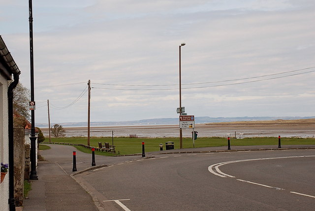
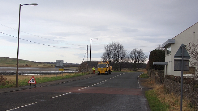
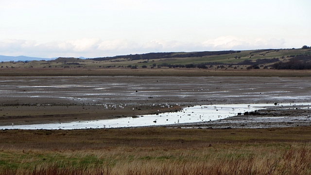
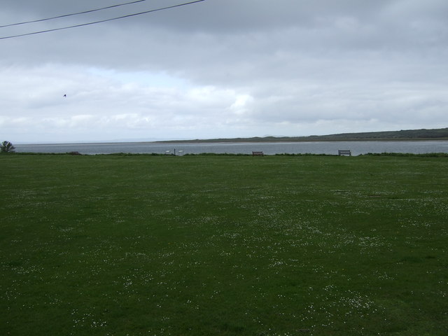
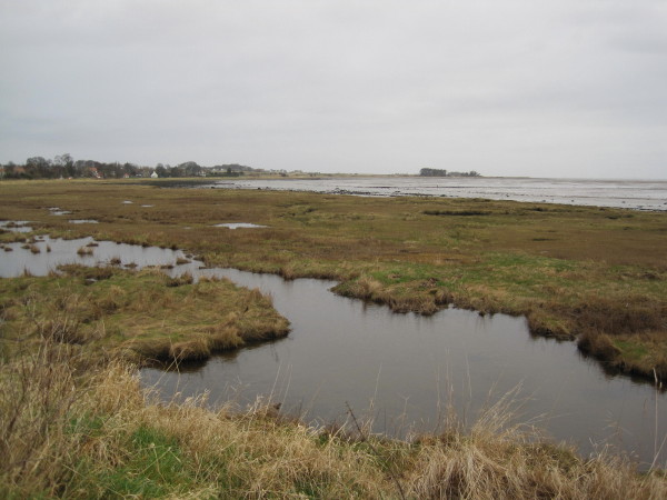
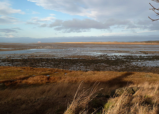
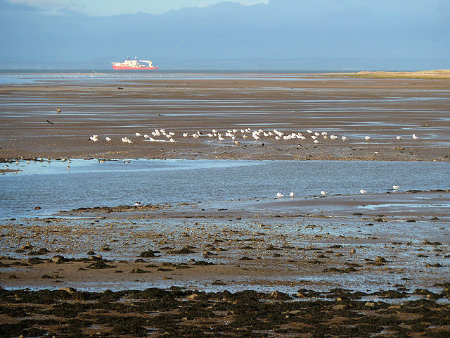
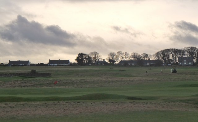
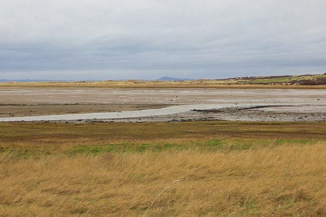
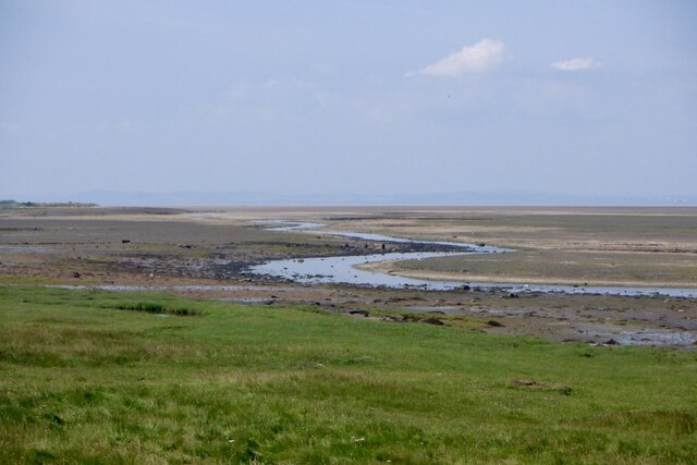
Limekiln Strip, located in East Lothian, Scotland, is a picturesque wood and forest area that boasts a rich history and diverse natural beauty. Covering an area of approximately 1.5 square kilometers, this strip of land is known for its vibrant flora, stunning scenery, and well-preserved limekiln structures.

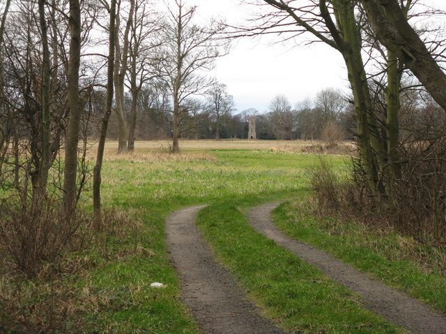
The wood itself is predominantly composed of native Scottish tree species, including oak, birch, and Scots pine. These majestic trees form a dense canopy, creating a tranquil and shaded environment for visitors to explore. The forest floor is adorned with a variety of wildflowers, such as bluebells and primroses, adding bursts of color to the landscape.

One of the main attractions of Limekiln Strip is its historic limekiln structures. These kilns were once used to burn limestone and produce lime, which was widely utilized for agricultural purposes in the past. Today, these well-preserved structures serve as a reminder of the area's industrial heritage.

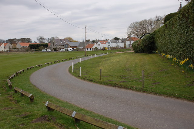
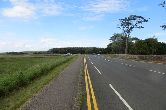
The strip is intersected by several walking trails, offering visitors the opportunity to immerse themselves in the natural surroundings and observe the local wildlife. It is not uncommon to spot red squirrels, various bird species, and even deer. The paths are well-maintained and suitable for all ages and fitness levels, making Limekiln Strip an ideal destination for nature enthusiasts and families alike.

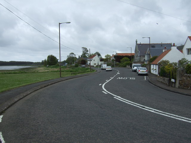
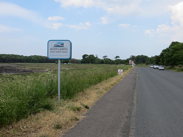
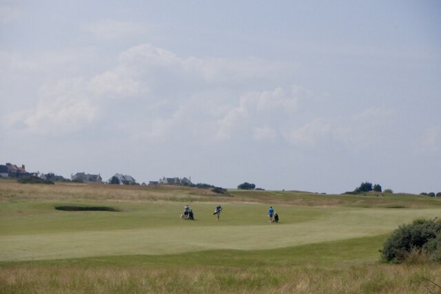
Limekiln Strip is easily accessible by a network of roads and is located within a short distance of nearby towns and villages. Visitors can enjoy picnicking, hiking, and photography in this tranquil woodland setting, making it a must-visit destination for those seeking a peaceful escape in East Lothian.

If you have any feedback on the listing, please let us know in the comments section below.

Limekiln Strip Images

Images are sourced within 2km of 55.996601/-2.8578133 or Grid Reference NT4678. Thanks to Geograph Open Source API. All images are credited.

Aberlady Bay from the coastal road The lane on the left leads to Kilspindie Golf Club, and the Fife coast is in view across the Firth of Forth.
Aberlady Bay from the coastal road
The lane on the left leads to Kilspindie Golf Club, and the Fife coast is in view across the Firth of Forth.
Seafront houses, Aberlady Seen from the road to Kilspindie Golf Club.
Seafront houses, Aberlady
Seen from the road to Kilspindie Golf Club.
Information board, the Port of Aberlady Aberlady was a port in the 16th century, with a last known shipment in 1875. Since then the bay has silted up, precluding its use as a port, but leaving an area of tidal sands that attracts wading birds. The artist’s impression shows the port as it would have looked c. 1560.


The first paragraph of smaller print reads:

"The construction of a harbour at Aberlady was commissioned in 1535. The port building and custom house – ‘the Town of Haddington’s House’ – was commissioned one year later. Timber, tanning oil, linseed cake and guano were primary imports while large amounts of wool, hides and grain were exported."
Information board, the Port of Aberlady
Aberlady was a port in the 16th century, with a last known shipment in 1875. Since then the bay has silted up, precluding its use as a port, but leaving an area of tidal sands that attracts wading birds. The artist’s impression shows the port as it would have looked c. 1560. The first paragraph of smaller print reads: "The construction of a harbour at Aberlady was commissioned in 1535. The port building and custom house – ‘the Town of Haddington’s House’ – was commissioned one year later. Timber, tanning oil, linseed cake and guano were primary imports while large amounts of wool, hides and grain were exported."
Water tower at Luffness Seen from the Avenue Road shelter belt.
Water tower at Luffness
Seen from the Avenue Road shelter belt.
Roadworks, A198 Some pavement holediggery in Aberlady.
Roadworks, A198
Some pavement holediggery in Aberlady.
Aberlady Bay The Peffer Burn flowing across mudflats at Aberlady.
Aberlady Bay
The Peffer Burn flowing across mudflats at Aberlady.
House on the Wynd, Aberlady
View towards Aberlady Bay
A198 towards North Berwick
Salt-marsh, Aberlady Bay
Loose chippings Spray on road resurfacing for added rolling resistance.  Patching things up before The Open.  The "Golf Coast" signs appeared a few months ago, there are lots of them - sensible use of public money?
Loose chippings
Spray on road resurfacing for added rolling resistance. Patching things up before The Open. The "Golf Coast" signs appeared a few months ago, there are lots of them - sensible use of public money?
Aberlady Bay This early January view at low tide was taken from the A198.
Aberlady Bay
This early January view at low tide was taken from the A198.
Wading birds at Aberlady Bay This early January view at low tide was taken from the A198.
Wading birds at Aberlady Bay
This early January view at low tide was taken from the A198.
Golf courses in December, Kilspindie The courses at Kilspindie and Craigielaw in December light.
Golf courses in December, Kilspindie
The courses at Kilspindie and Craigielaw in December light.
Aberlady Bay View across the flats, with loads of waders as usual, towards the dunes and a distant Largo Law.
Aberlady Bay
View across the flats, with loads of waders as usual, towards the dunes and a distant Largo Law.
Double yellow lines, Aberlady Car parking charges are about to be introduced at most East Lothian beaches, hence the closing off of any nearby alternatives.
Double yellow lines, Aberlady
Car parking charges are about to be introduced at most East Lothian beaches, hence the closing off of any nearby alternatives.
Peffer Burn, Aberlady Bay A nearby notice says bathing not advised.  This is probably on account of there being no water most of the time. It is pretty muddy out there though.
Peffer Burn, Aberlady Bay
A nearby notice says bathing not advised. This is probably on account of there being no water most of the time. It is pretty muddy out there though.
Craigielaw Golf Course A hot afternoon with cumulonimbus formation.
Craigielaw Golf Course
A hot afternoon with cumulonimbus formation.
Show me another place!

Limekiln Strip is located at Grid Ref: NT4678 (Lat: 55.996601, Lng: -2.8578133)

Unitary Authority: East Lothian

Police Authority: The Lothians and Scottish Borders

What 3 Words

///again.chained.crabmeat. Near Aberlady, East Lothian

Related Wikis

Aberlady railway station

Aberlady railway station served the village of Aberlady in Scotland. It was served by the Aberlady, Gullane and North Berwick railway. This line diverged...

Spittal, East Lothian

Spittal is a hamlet or small village in East Lothian, Scotland, UK, on the B1377, east of Longniddry, south-south-west of Aberlady and to the west of Garleton...

Gosford House

Gosford House is a neoclassical country house around 2 miles (3 km) northeast of Longniddry in East Lothian, Scotland, on the A198 Aberlady Road, in 5...
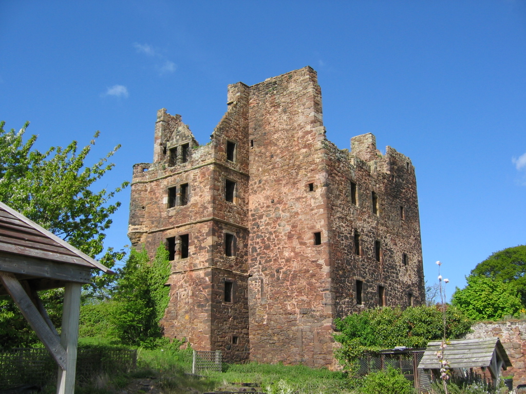
Redhouse Castle

Redhouse Castle is a ruined tower house castle, 2 km east of Longniddry, East Lothian, Scotland, UK, on the B1377, close to Spittal. The castle designated...

Aberlady

Aberlady (Scots: Aiberleddy, Gaelic: Obar Lobhaite) is a coastal village in the Scottish council area of East Lothian. The village had an estimated population...

Kilspindie Castle

Kilspindie Castle lies north of the village of Aberlady, in East Lothian, Scotland; the remains of the castle are behind the Victorian St Mary's Kirk....

Ballencrieff, East Lothian

Ballencrieff (Scottish Gaelic: Baile na Craoibhe) is a rural community in East Lothian, Scotland. It is located between the towns of Aberlady, Drem, Haddington...

Luffness Castle

Luffness Castle, also known as Luffness House, is a house built in a former fortification near the village of Aberlady, East Lothian, Scotland. ��2�...

Nearby Amenities

Located within 500m of 55.996601,-2.8578133
Power: pole
Lat/Long: 56.000426/-2.8588498
The data included in this document is from www.openstreetmap.org. The data is made available under ODbL.

Have you been to Limekiln Strip?

Leave your review of Limekiln Strip below (or comments, questions and feedback).