Barr Moon Strip

Wood, Forest in East Lothian

Scotland

Barr Moon Strip

Aberlady Bay from the coastal road The lane on the left leads to Kilspindie Golf Club, and the Fife coast is in view across the Firth of Forth.
Aberlady Bay from the coastal road Credit: Jim Barton

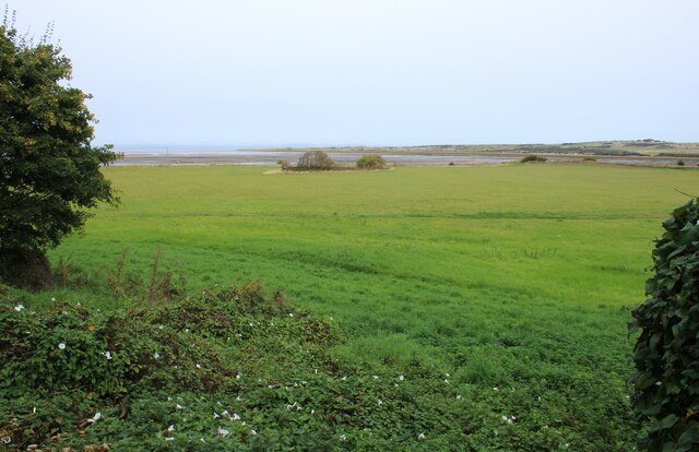
Barr Moon Strip is a beautiful and serene woodland area located in East Lothian, Scotland. Spanning over a vast expanse of land, this forest offers a picturesque retreat for nature enthusiasts and outdoor lovers alike.

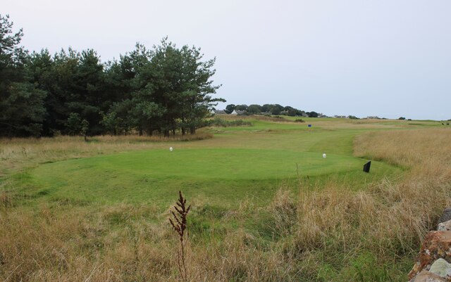
The woodland is predominantly composed of a variety of trees, including oak, birch, and beech, which create a diverse and thriving ecosystem. The canopy of leaves provides a sheltered and tranquil environment, making it an ideal spot for leisurely walks and hikes. The forest floor is adorned with wildflowers and mossy patches, further enhancing its natural charm.

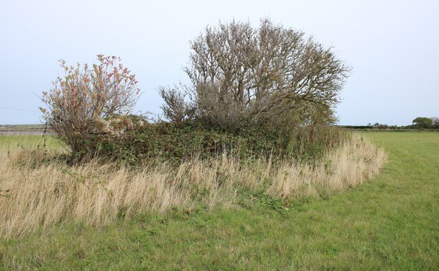
Barr Moon Strip is also home to a wide range of wildlife. Visitors may spot deer roaming freely, squirrels darting between branches, and a plethora of bird species soaring through the treetops. The harmonious sounds of nature create a soothing atmosphere, making it a perfect escape from the hustle and bustle of everyday life.

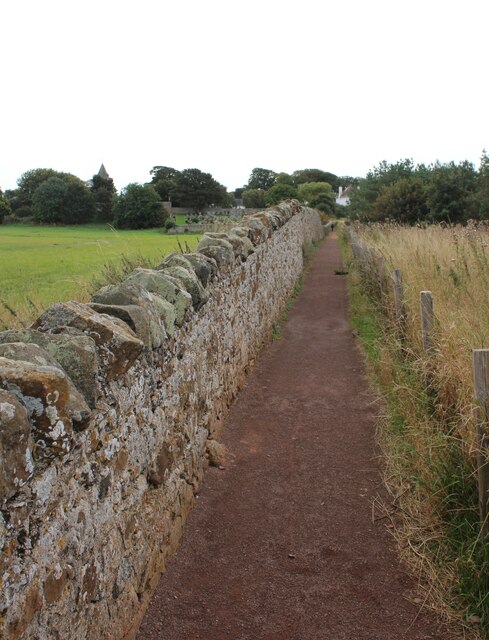
The forest offers several marked trails of varying lengths, catering to different fitness levels. These pathways meander through the woodland, allowing visitors to explore its hidden gems at their own pace. Along the way, there are designated picnic spots where visitors can relax and indulge in a meal amidst the serene surroundings.

Barr Moon Strip is easily accessible, with car parking facilities available nearby. The forest is open to the public throughout the year and is particularly stunning during the autumn months when the foliage takes on vibrant hues of orange and gold.

Overall, Barr Moon Strip in East Lothian offers a tranquil and captivating woodland experience, providing a much-needed escape into nature's embrace.

If you have any feedback on the listing, please let us know in the comments section below.

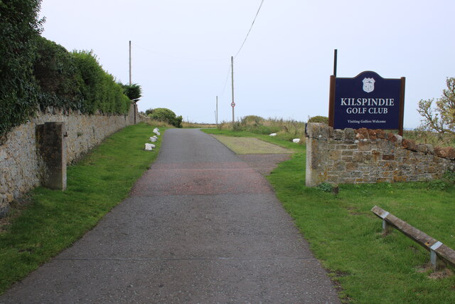
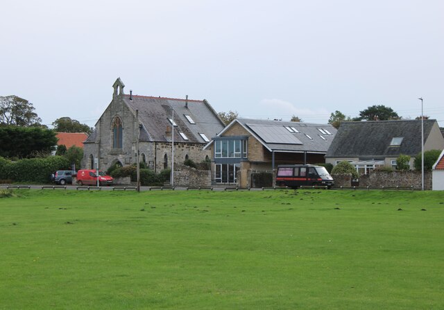
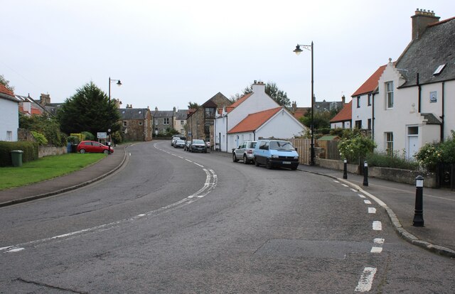
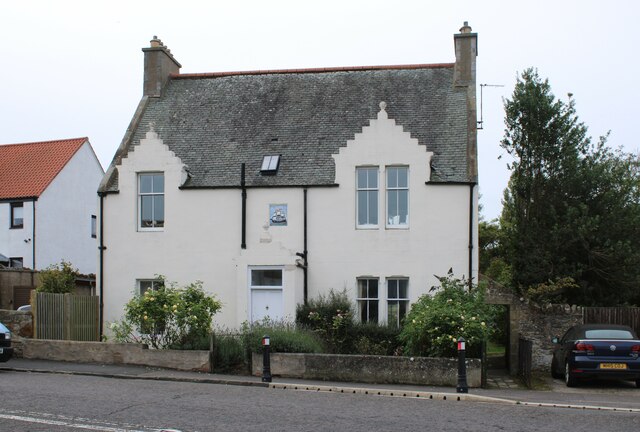
Barr Moon Strip Images

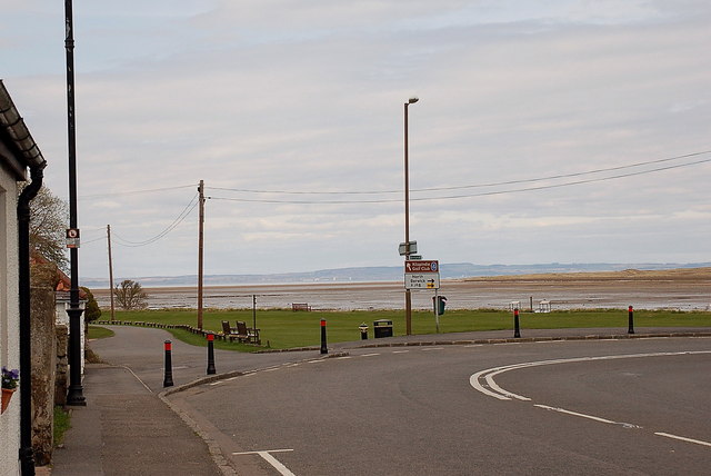
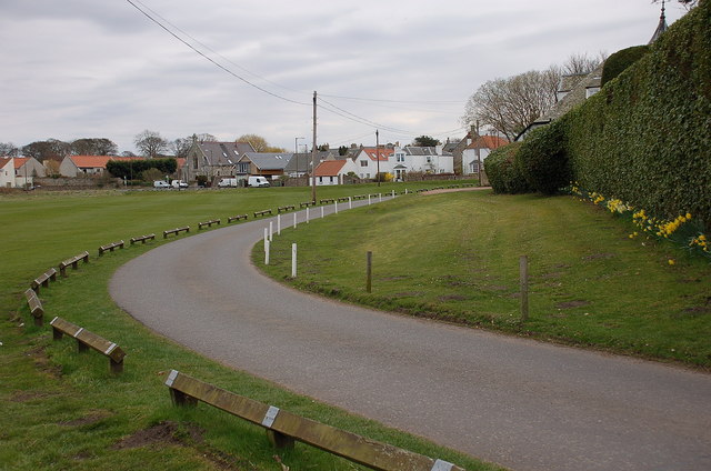
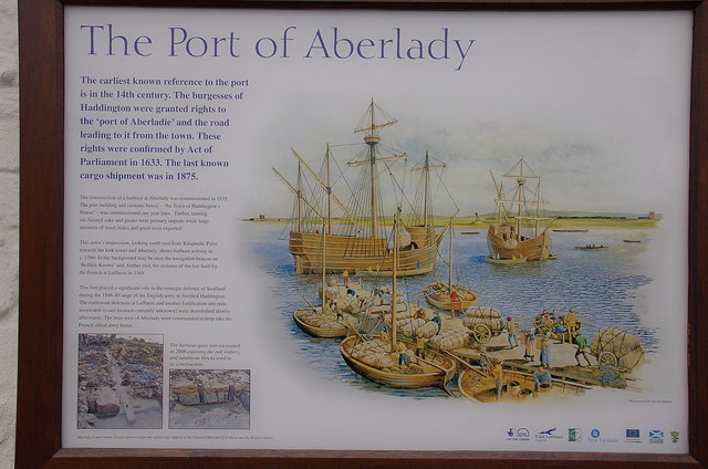
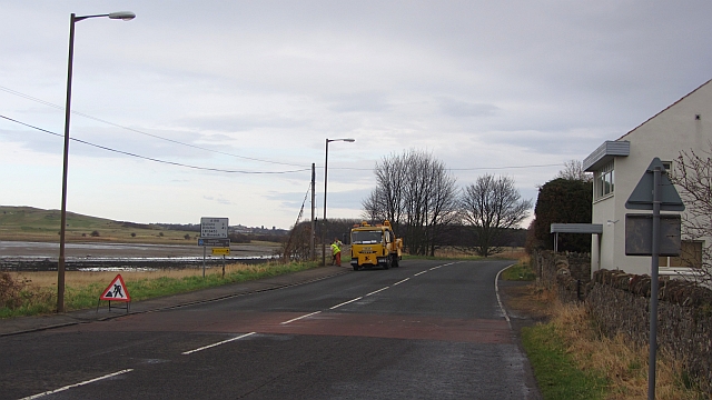
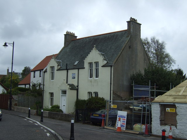
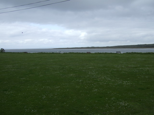
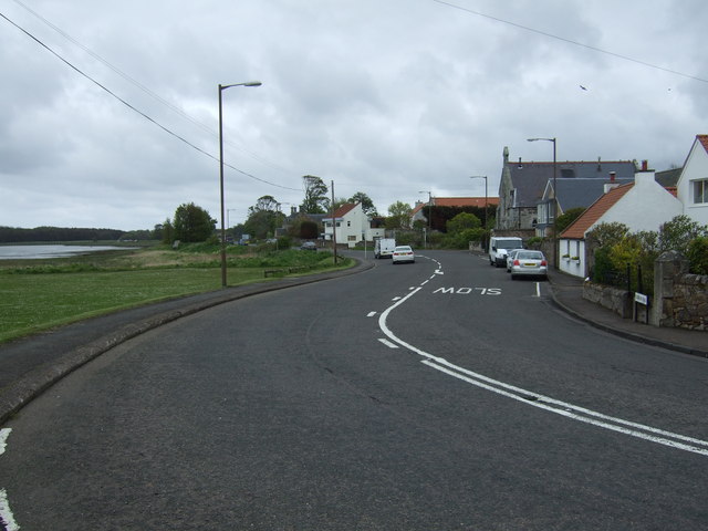
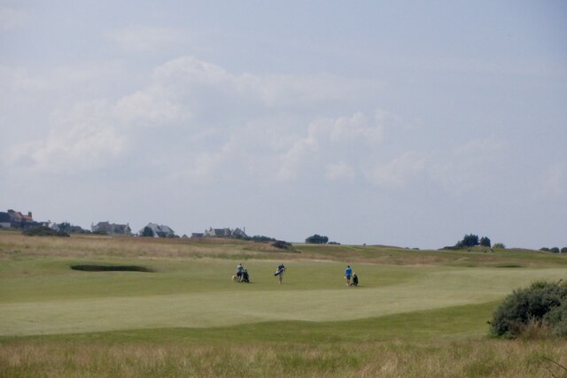
Images are sourced within 2km of 55.993643/-2.8593669 or Grid Reference NT4678. Thanks to Geograph Open Source API. All images are credited.

Aberlady Bay from the coastal road The lane on the left leads to Kilspindie Golf Club, and the Fife coast is in view across the Firth of Forth.
Aberlady Bay from the coastal road
The lane on the left leads to Kilspindie Golf Club, and the Fife coast is in view across the Firth of Forth.
Seafront houses, Aberlady Seen from the road to Kilspindie Golf Club.
Seafront houses, Aberlady
Seen from the road to Kilspindie Golf Club.
Information board, the Port of Aberlady Aberlady was a port in the 16th century, with a last known shipment in 1875. Since then the bay has silted up, precluding its use as a port, but leaving an area of tidal sands that attracts wading birds. The artist’s impression shows the port as it would have looked c. 1560.


The first paragraph of smaller print reads:

"The construction of a harbour at Aberlady was commissioned in 1535. The port building and custom house – ‘the Town of Haddington’s House’ – was commissioned one year later. Timber, tanning oil, linseed cake and guano were primary imports while large amounts of wool, hides and grain were exported."
Information board, the Port of Aberlady
Aberlady was a port in the 16th century, with a last known shipment in 1875. Since then the bay has silted up, precluding its use as a port, but leaving an area of tidal sands that attracts wading birds. The artist’s impression shows the port as it would have looked c. 1560. The first paragraph of smaller print reads: "The construction of a harbour at Aberlady was commissioned in 1535. The port building and custom house – ‘the Town of Haddington’s House’ – was commissioned one year later. Timber, tanning oil, linseed cake and guano were primary imports while large amounts of wool, hides and grain were exported."
Roadworks, A198 Some pavement holediggery in Aberlady.
Roadworks, A198
Some pavement holediggery in Aberlady.
House on the Wynd, Aberlady
View towards Aberlady Bay
A198 towards North Berwick
Craigielaw Golf Course A hot afternoon with cumulonimbus formation.
Craigielaw Golf Course
A hot afternoon with cumulonimbus formation.
Kilspindie Castle The overgrown ruins of the 16th century Kilspindie Castle, seen from Aberlady Parish Church graveyard.
Kilspindie Castle
The overgrown ruins of the 16th century Kilspindie Castle, seen from Aberlady Parish Church graveyard.
4th tee, Craigielaw Golf Course The start of the 576 yards, Par 5, 4th hole at Craigielaw Golf Course. Craigielaw Farm Cottages are just visible in the distance.
4th tee, Craigielaw Golf Course
The start of the 576 yards, Par 5, 4th hole at Craigielaw Golf Course. Craigielaw Farm Cottages are just visible in the distance.
Footpath to Aberlady The path runs from the shore to Aberlady Parish Church and the village of Aberlady. Craigielaw Golf Course is on the right and the field containing the ruins of Kilspindie Castle is on the left.
Footpath to Aberlady
The path runs from the shore to Aberlady Parish Church and the village of Aberlady. Craigielaw Golf Course is on the right and the field containing the ruins of Kilspindie Castle is on the left.
Kilspindie Castle The overgrown ruins of the 16th century Kilspindie Castle. Little remains other than the north wall to a height of about 2 metres. The castle and surrounding field are a Scheduled Monument <span class="nowrap"><a title="https://portal.historicenvironment.scot/designation/SM5997" rel="nofollow ugc noopener" href="https://portal.historicenvironment.scot/designation/SM5997">Link</a><img style="margin-left:2px;" alt="External link" title="External link - shift click to open in new window" src="https://s1.geograph.org.uk/img/external.png" width="10" height="10"/></span>.
Kilspindie Castle
The overgrown ruins of the 16th century Kilspindie Castle. Little remains other than the north wall to a height of about 2 metres. The castle and surrounding field are a Scheduled Monument LinkExternal link.
Entrance to Kilspindie Golf Club The clubhouse is about 800 metres further on along the road.
Entrance to Kilspindie Golf Club
The clubhouse is about 800 metres further on along the road.
North House The former United Free Church (later a church hall) is now a private residence - North House. Harbour House and Dinard are beside it on Gullane Road (A198).
North House
The former United Free Church (later a church hall) is now a private residence - North House. Harbour House and Dinard are beside it on Gullane Road (A198).
Seawynd The A198 entering Aberlady.
Seawynd
The A198 entering Aberlady.
Sunset View 18th century house, with 19th century details which is Category C listed <span class="nowrap"><a title="https://portal.historicenvironment.scot/designation/LB6523" rel="nofollow ugc noopener" href="https://portal.historicenvironment.scot/designation/LB6523">Link</a><img style="margin-left:2px;" alt="External link" title="External link - shift click to open in new window" src="https://s1.geograph.org.uk/img/external.png" width="10" height="10"/></span>. Once owned by a mariner and ship owner (Smith), who inserted the plaque at the front.
Sunset View
18th century house, with 19th century details which is Category C listed LinkExternal link. Once owned by a mariner and ship owner (Smith), who inserted the plaque at the front.
Decorative plaque A coloured plaque of a sailing ship above the porch of Sunset View <a href="https://www.geograph.org.uk/photo/7654834">NT4680 : Sunset View</a>. It was apparently added by a ship owner by the name of Smith when he lived here.
Decorative plaque
A coloured plaque of a sailing ship above the porch of Sunset View NT4680 : Sunset View. It was apparently added by a ship owner by the name of Smith when he lived here.
Aberlady Village Hall Now the village hall, this was originally a drill hall and served as the headquarters of the 4th (Aberlady) Corps of the Haddingtonshire Rifle Volunteers.
Aberlady Village Hall
Now the village hall, this was originally a drill hall and served as the headquarters of the 4th (Aberlady) Corps of the Haddingtonshire Rifle Volunteers.
Show me another place!

Barr Moon Strip is located at Grid Ref: NT4678 (Lat: 55.993643, Lng: -2.8593669)

Unitary Authority: East Lothian

Police Authority: The Lothians and Scottish Borders

What 3 Words

///amuse.agreeable.remake. Near Aberlady, East Lothian

Related Wikis

Spittal, East Lothian

Spittal is a hamlet or small village in East Lothian, Scotland, UK, on the B1377, east of Longniddry, south-south-west of Aberlady and to the west of Garleton...
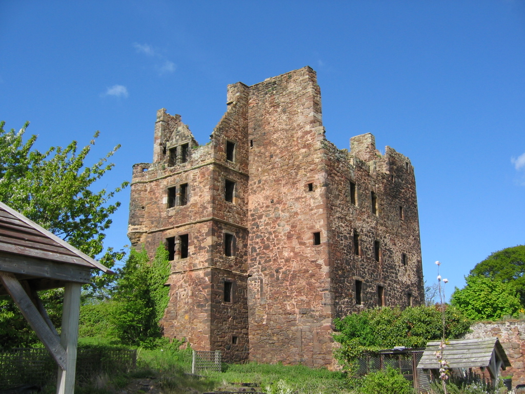
Redhouse Castle

Redhouse Castle is a ruined tower house castle, 2 km east of Longniddry, East Lothian, Scotland, UK, on the B1377, close to Spittal. The castle designated...

Aberlady railway station

Aberlady railway station served the village of Aberlady in Scotland. It was served by the Aberlady, Gullane and North Berwick railway. This line diverged...

Gosford House

Gosford House is a neoclassical country house around 2 miles (3 km) northeast of Longniddry in East Lothian, Scotland, on the A198 Aberlady Road, in 5...

Aberlady

Aberlady (Scots: Aiberleddy, Gaelic: Obar Lobhaite) is a coastal village in the Scottish council area of East Lothian. The village had an estimated population...
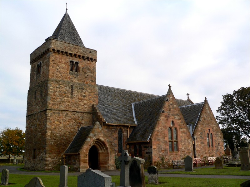
Kilspindie Castle

Kilspindie Castle lies north of the village of Aberlady, in East Lothian, Scotland; the remains of the castle are behind the Victorian St Mary's Kirk....

Ballencrieff, East Lothian

Ballencrieff (Scottish Gaelic: Baile na Craoibhe) is a rural community in East Lothian, Scotland. It is located between the towns of Aberlady, Drem, Haddington...
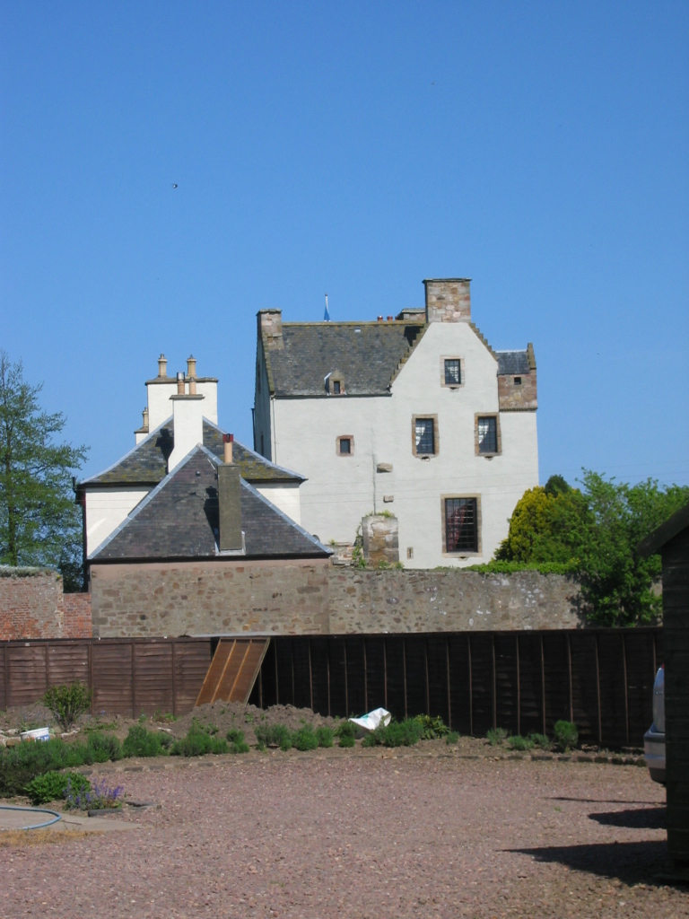
Ballencrieff Castle

Ballencrieff Castle, also known as Ballencrieff House, is a large tower house at Ballencrieff, East Lothian, Scotland. It is located three miles north...

Have you been to Barr Moon Strip?

Leave your review of Barr Moon Strip below (or comments, questions and feedback).