Bogindollo Strip
Wood, Forest in Angus
Scotland
Bogindollo Strip

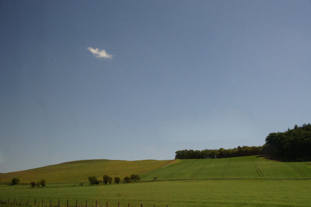
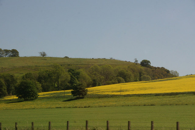
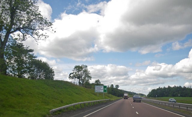
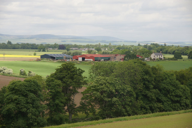
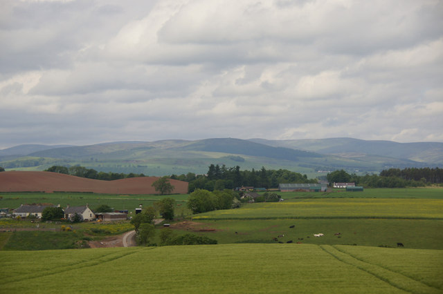
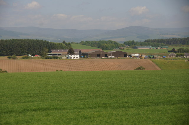
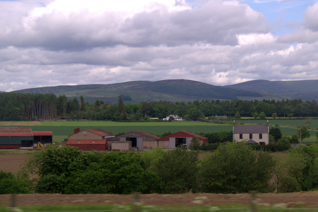
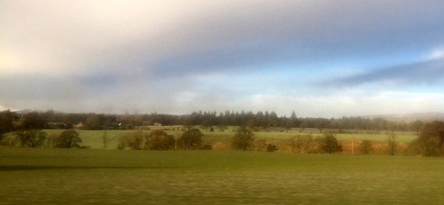
Bogindollo Strip is a picturesque woodland area located in the Angus region of Scotland. Covering an area of approximately 50 hectares, it is renowned for its natural beauty and diverse flora and fauna. The strip is situated near the village of Wood, making it easily accessible for nature enthusiasts and hikers.
The woodland is dominated by a mix of deciduous and coniferous trees, including oak, birch, pine, and spruce. This creates a rich and varied habitat for a wide range of wildlife, including deer, foxes, birds, and small mammals. The area is particularly popular among birdwatchers, who can spot species such as red kites, buzzards, and woodpeckers.
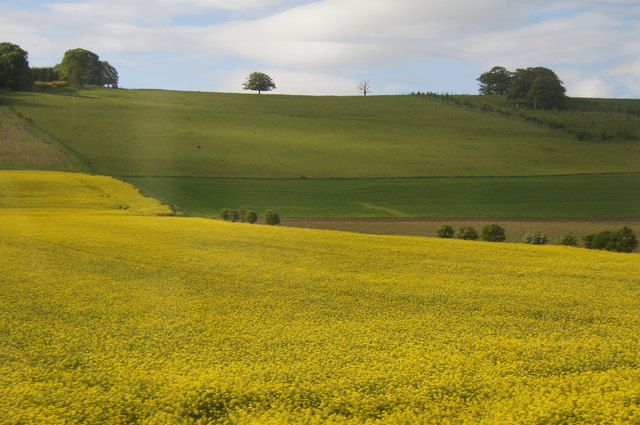
Tranquil walking trails wind their way through Bogindollo Strip, allowing visitors to explore the woodland at their own pace. These paths offer stunning views of the surrounding countryside and showcase the diversity of the flora within the forest. In spring, the forest floor comes alive with vibrant bluebells and wildflowers, creating a colorful and enchanting spectacle.
Bogindollo Strip is not only a haven for nature lovers but also serves as an important site for ecological research and conservation. The woodlands are managed by local authorities to maintain a healthy ecosystem and preserve the area's biodiversity.
Overall, Bogindollo Strip in Angus is a captivating woodland retreat that offers a chance to connect with nature, observe wildlife, and enjoy the tranquility of the Scottish countryside.
If you have any feedback on the listing, please let us know in the comments section below.
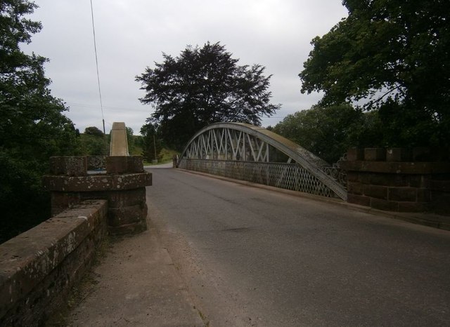
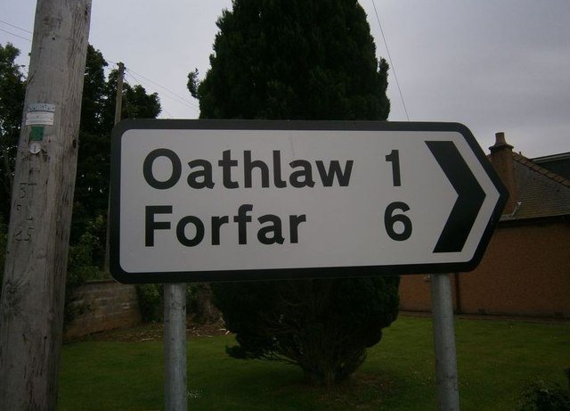
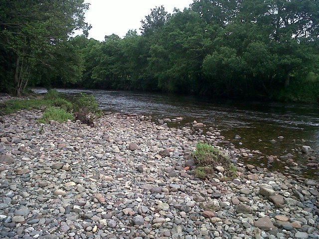
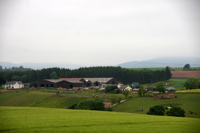
Bogindollo Strip Images
Images are sourced within 2km of 56.686811/-2.874982 or Grid Reference NO4655. Thanks to Geograph Open Source API. All images are credited.


Bogindollo Strip is located at Grid Ref: NO4655 (Lat: 56.686811, Lng: -2.874982)
Unitary Authority: Angus
Police Authority: Tayside
What 3 Words
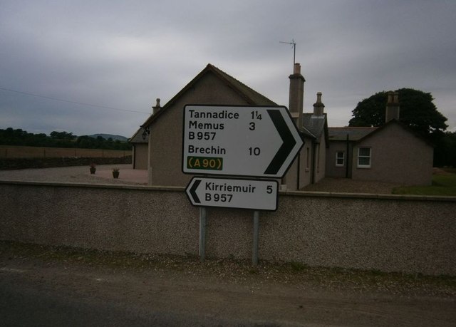
///barks.sang.loaning. Near Forfar, Angus
Nearby Locations
Related Wikis

Battledykes
Battledykes is a Roman camp slightly to the north of Forfar, Scotland. According to Hector Boece, Pictish chiefs met at a castle by Forfar Loch to plan...

Oathlaw
Oathlaw is a village in Angus, Scotland, 4 miles north of Forfar. == References ==

Justinhaugh railway station
Justinhaugh railway station served the hamlet of Justinhaugh, Angus, Scotland, from 1895 to 1952 on the Forfar and Brechin Railway. == History == The station...

Tannadice, Angus
Tannadice is a village in Angus, Scotland that lies on the River South Esk and is 4 miles north of Forfar. The estate of Tannadice was formerly owned by...
Milton of Finavon
Milton of Finavon is a hamlet in Angus, Scotland that lies adjacent to the A90 road on its southern side by the River South Esk. It is approximately 5...
Finavon Castle
Finavon Castle lies on the River South Esk, about a quarter of a mile south of Milton of Finavon village and five miles to the north-east of Forfar in...

Angus, Scotland
Angus (Scots: Angus; Scottish Gaelic: Aonghas) is one of the 32 local government council areas of Scotland, a registration county and a lieutenancy area...
Tannadice railway station
Tannadice railway station served the village of Tannadice, Angus, Scotland, from 1895 to 1952 on the Forfar and Brechin Railway. == History == The station...
Nearby Amenities
Located within 500m of 56.686811,-2.874982Have you been to Bogindollo Strip?
Leave your review of Bogindollo Strip below (or comments, questions and feedback).