Kirkton Wood

Wood, Forest in Fife

Scotland

Kirkton Wood

Old bridge at Morton Lochs Bridge over the old trackbed of the railway line at the Morton Lochs Car Park.
Old bridge at Morton Lochs Credit: Scott Cormie

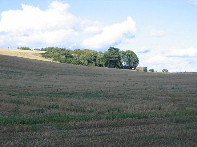
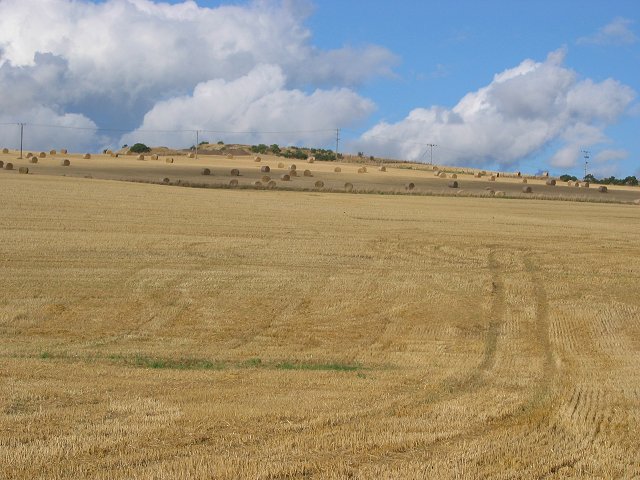
Kirkton Wood is a picturesque forest located in the region of Fife, Scotland. Spanning over a vast area, the wood is a popular destination for nature lovers and outdoor enthusiasts alike.

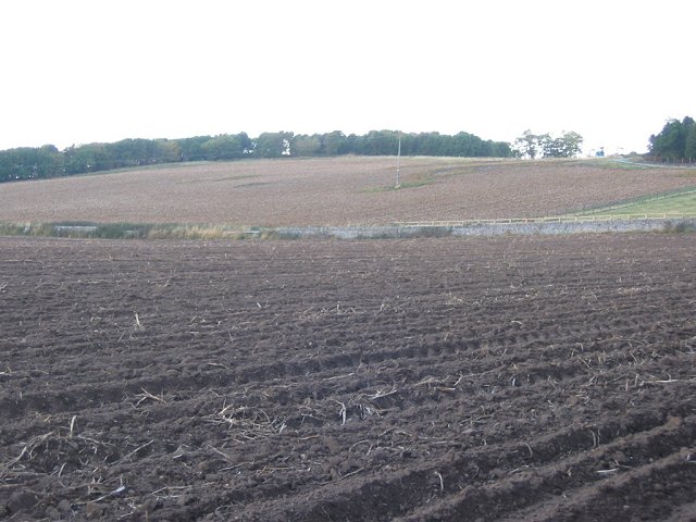
The wood is predominantly made up of dense, towering trees, including a variety of native species such as oak, beech, and birch. These trees provide a rich canopy that filters sunlight, creating a pleasant and shaded environment for visitors. The forest floor is covered with a lush carpet of mosses, ferns, and wildflowers, adding to its natural beauty.

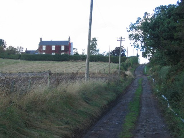
Traversing through Kirkton Wood, there are numerous well-maintained trails that wind their way through the forest. These paths offer visitors the opportunity to explore the wood at their own pace, taking in the sights and sounds of the surrounding wildlife. Along the way, one may encounter a diverse range of bird species, including woodpeckers, owls, and various songbirds.

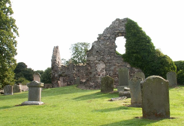
Kirkton Wood is not only a haven for flora and fauna but also a place of historical significance. Within the wood, there are remnants of ancient settlements, including stone circles and burial mounds, dating back thousands of years. These archaeological sites provide a glimpse into the rich history of the area and add an additional layer of intrigue to the wood.

Overall, Kirkton Wood is a magical and enchanting place, offering visitors a chance to escape the hustle and bustle of everyday life and immerse themselves in the tranquility of nature. Whether it's for a leisurely stroll, a bird-watching expedition, or simply to appreciate the beauty of the surroundings, Kirkton Wood is a must-visit destination in Fife.

If you have any feedback on the listing, please let us know in the comments section below.
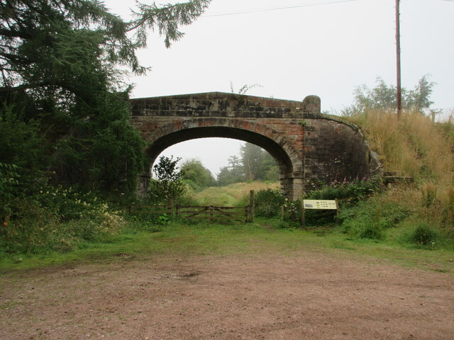
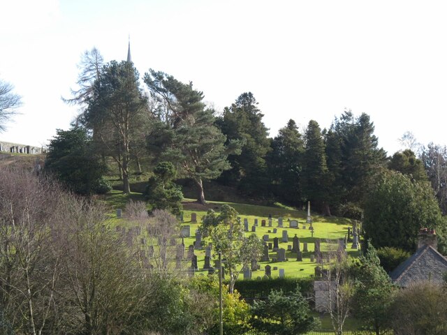
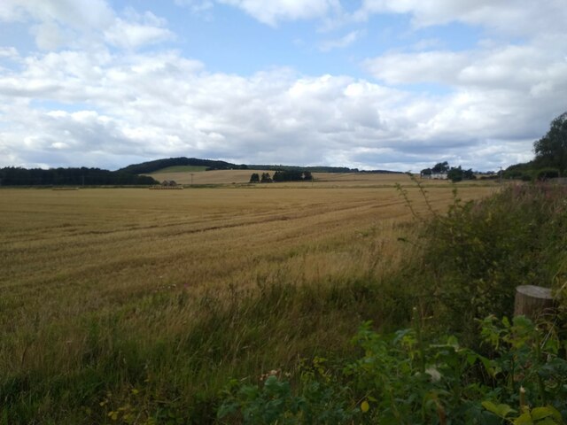
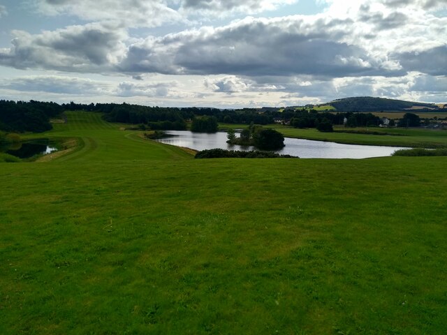
Kirkton Wood Images

Images are sourced within 2km of 56.42017/-2.8933758 or Grid Reference NO4425. Thanks to Geograph Open Source API. All images are credited.

Old bridge at Morton Lochs Bridge over the old trackbed of the railway line at the Morton Lochs Car Park.
Old bridge at Morton Lochs
Bridge over the old trackbed of the railway line at the Morton Lochs Car Park.
Vicarsford Cemetery from the north
Houses of straw Tall structures of straw cubes at the B945.
Houses of straw
Tall structures of straw cubes at the B945.
Fields near Pickletillum Pickletillum Inn is no more, but the small car park next to the place where it once was offers a chance to take a picture of the extensive fields that dominate the western side of this square.
Fields near Pickletillum
Pickletillum Inn is no more, but the small car park next to the place where it once was offers a chance to take a picture of the extensive fields that dominate the western side of this square.
Drumoig golf course View from an elevated viewpoint next to the club house over the golf course.
Drumoig golf course
View from an elevated viewpoint next to the club house over the golf course.
Forgan Church Peaceful old ruined Church tucked away on a minor road.
Forgan Church
Peaceful old ruined Church tucked away on a minor road.
Craigie Hill Rough grassland hill, now with a golf course. Picture shows the green keeper's tools of trade, at a business devoted to golf course maintenance.  A useful niche in this part of the country.
Craigie Hill
Rough grassland hill, now with a golf course. Picture shows the green keeper's tools of trade, at a business devoted to golf course maintenance. A useful niche in this part of the country.
Craigie Grain store and farm buildings. Arable farm in the flatlands behind Tentsmuir dunes.
Craigie
Grain store and farm buildings. Arable farm in the flatlands behind Tentsmuir dunes.
Drainage, Rhynd. Behind the forested dunes at Tentsmuir is a large area of flat land used for arable farming. Once a railway ran this way, and its ditch still drains the land. Looking northward.
Drainage, Rhynd.
Behind the forested dunes at Tentsmuir is a large area of flat land used for arable farming. Once a railway ran this way, and its ditch still drains the land. Looking northward.
Newly planted, Kirkland. Looking eastward across the arable plain behind Tentsmuir Forest. Field newly planted, with the forest on the horizon.
Newly planted, Kirkland.
Looking eastward across the arable plain behind Tentsmuir Forest. Field newly planted, with the forest on the horizon.
Kirkton A harvested field on the slopes above the flatlands of Tentsmuir. Looking north.
Kirkton
A harvested field on the slopes above the flatlands of Tentsmuir. Looking north.
Kirkton Barns Arable land, with bales still out on a hillside above Forgan Church.
Kirkton Barns
Arable land, with bales still out on a hillside above Forgan Church.
Easter Friarton Farmhouse at the end of a muddy lane. Looking northwards. The house is clad in Wisteria, which for a short time in autumn gives a glorious colour show.
Easter Friarton
Farmhouse at the end of a muddy lane. Looking northwards. The house is clad in Wisteria, which for a short time in autumn gives a glorious colour show.
Tattie field, Easter Friarton. Potatoes are a common crop in Fife. This field has been prepared for harvest by spraying with sulphuric acid. The acid kills the foliage making mechanical lifting of the tubers easy and reducing the risk of contamination by the toxic foliage. Looking west.
Tattie field, Easter Friarton.
Potatoes are a common crop in Fife. This field has been prepared for harvest by spraying with sulphuric acid. The acid kills the foliage making mechanical lifting of the tubers easy and reducing the risk of contamination by the toxic foliage. Looking west.
Pickletillum Inn The public house is the main feature of the tiny hamlet of Pickletillem (spelling different from the pub!) which is on the A914 between Dundee and Cupar.
Pickletillum Inn
The public house is the main feature of the tiny hamlet of Pickletillem (spelling different from the pub!) which is on the A914 between Dundee and Cupar.
Morton Lochs, Tayport This is the north loch at Morton Lochs. This is a Scottish Natural Heritage nature reserve with hides to allow the wildlife to be observed.
Morton Lochs, Tayport
This is the north loch at Morton Lochs. This is a Scottish Natural Heritage nature reserve with hides to allow the wildlife to be observed.
Old Forgan Graveyard
Old Burial ground Southern wall of old burial ground just south of Morton House
Old Burial ground
Southern wall of old burial ground just south of Morton House
Show me another place!

Kirkton Wood is located at Grid Ref: NO4425 (Lat: 56.42017, Lng: -2.8933758)

Unitary Authority: Fife

Police Authority: Fife

What 3 Words

///profited.pigtails.boxer. Near Tayport, Fife

Related Wikis

Lady Leng Memorial Chapel

Lady Leng Memorial Chapel (also known as Vicarsford Cemetery Chapel) is a church building in Leuchars, Fife, Scotland. Built between 1895 and 1897, to...

Morton Lochs

Morton Lochs is part of Tentsmuir National Nature Reserve located near Tayport, in the north east of Fife, Scotland. It consists of three small lochs important...

Pickletillum

Pickletillem or Pickletillum is a hamlet situated in Fife, Scotland. It is 9 miles (14 km) from the town of St. Andrews and 5.9 miles (9.5 km) from the...

Forgan (Fife)

Forgan is a civil parish in the Scottish county of Fife. It extends 4 miles in length along the north coast of Fife and is at the southern mouth of the...

Tayport F.C.

Tayport Football Club are a Scottish football club from Tayport, Fife. Formed in 1947, they play their home games at The Canniepairt. Nicknamed the Port...

Tayport

Tayport, also known as Ferry-Port on Craig, is a town and burgh, and parish, in the county of Fife, Scotland, acting as a commuter town for Dundee. The...

Newport-on-Tay East railway station

Newport-on-Tay East railway station formerly served the town of Newport-on-Tay, Fife, Scotland. The station closed in 1969. == Tayport branch == Newport...

Tayport railway station

Tayport railway station served the town of Tayport, Fife, Scotland from 1848 to 1967 on the Newport Railway. == History == The station opened on 17 May...

Nearby Amenities

Located within 500m of 56.42017,-2.8933758
Power: pole
Lat/Long: 56.4161143/-2.8906999
Power: pole
Lat/Long: 56.4165249/-2.8909829
The data included in this document is from www.openstreetmap.org. The data is made available under ODbL.

Have you been to Kirkton Wood?

Leave your review of Kirkton Wood below (or comments, questions and feedback).