Moss-side

Wood, Forest in Aberdeenshire

Scotland

Moss-side

Cairnmore One of several ruins of farm and croft buildings at Cairnmore. The scarlet-jacketed figure is a descendant of a family who lived here for about 250 years.
Cairnmore Credit: Anne Burgess

Moss-side, located in Aberdeenshire, Scotland, is a picturesque woodland area known for its lush greenery and serene atmosphere. Situated near the town of Wood, Moss-side is a haven for nature enthusiasts and those seeking tranquility amidst the hustle and bustle of everyday life.

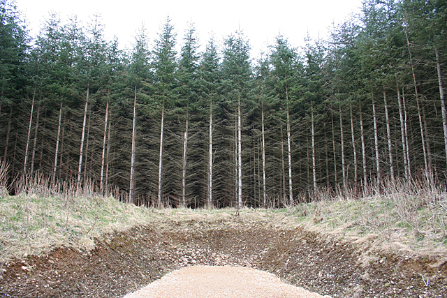
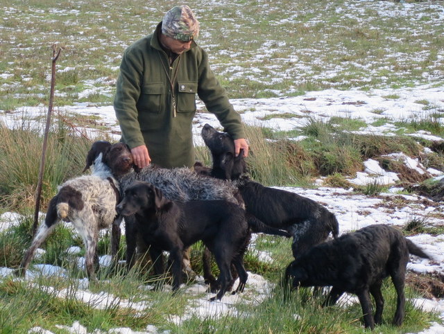
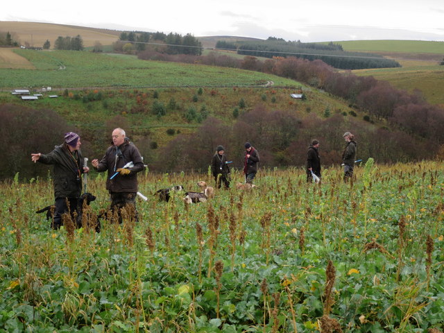
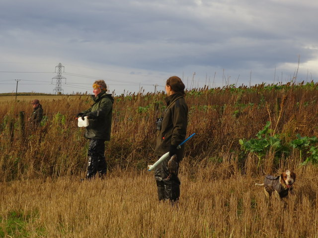
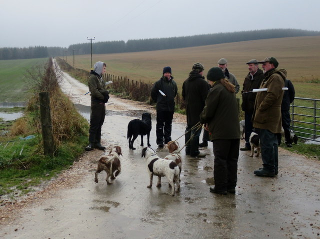
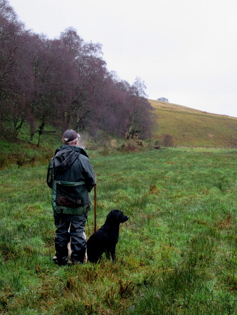
The area is characterized by its dense forest cover, which comprises a variety of tree species including birch, oak, and pine. The towering trees create a captivating canopy that provides shade and shelter for an array of wildlife. Moss-side boasts a diverse ecosystem, with a myriad of birds, mammals, and insects calling it home. It is not uncommon to spot red squirrels, roe deer, and a multitude of bird species while exploring the area.

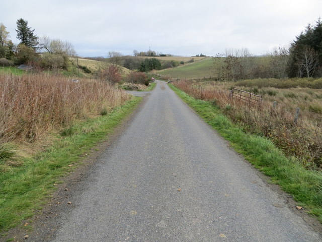
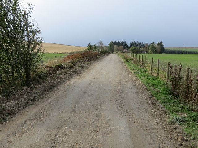
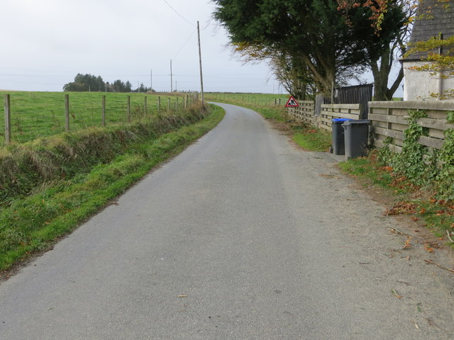
For outdoor enthusiasts, Moss-side offers numerous walking trails and paths that wind through the woodland. These paths cater to different levels of difficulty, making it accessible for casual strollers and experienced hikers alike. The trails provide breathtaking views of the surrounding landscape, from rolling hills to babbling brooks and ancient stone walls.

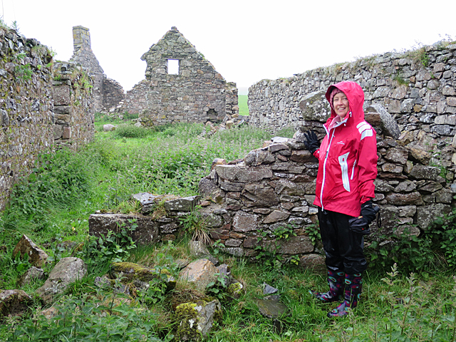
In addition to its natural beauty, Moss-side also has historical significance. The area is dotted with remnants of old buildings and ruins, which serve as a reminder of its past. These remnants hint at the rich history and heritage of the region, offering a glimpse into the lives of those who once inhabited the area.

Overall, Moss-side in Aberdeenshire is a hidden gem for nature lovers and history buffs alike. Its verdant woodlands, diverse wildlife, and captivating trails make it a must-visit destination for those seeking solace in the embrace of nature.

If you have any feedback on the listing, please let us know in the comments section below.

Moss-side Images

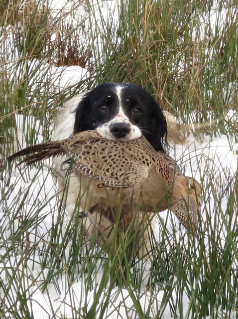
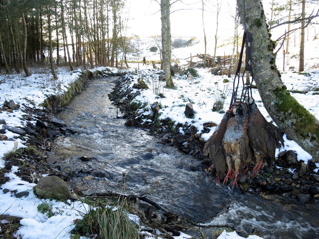
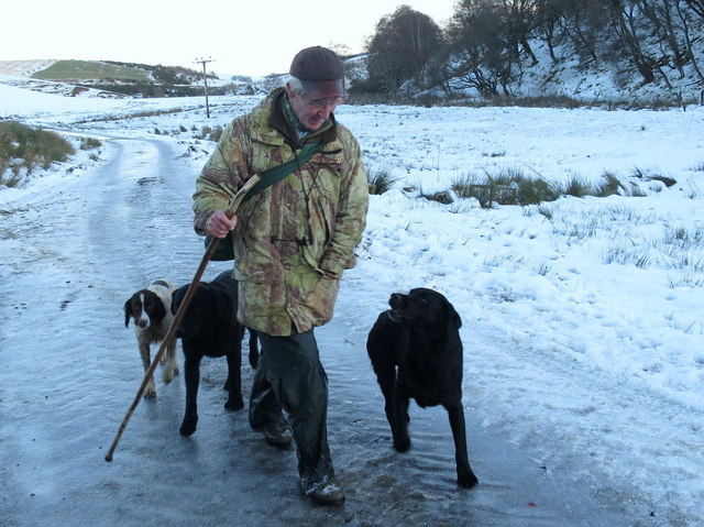
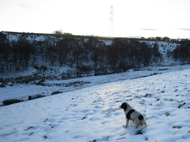
Images are sourced within 2km of 57.479369/-2.9198829 or Grid Reference NJ4443. Thanks to Geograph Open Source API. All images are credited.

Cairnmore One of several ruins of farm and croft buildings at Cairnmore. The scarlet-jacketed figure is a descendant of a family who lived here for about 250 years.
Cairnmore
One of several ruins of farm and croft buildings at Cairnmore. The scarlet-jacketed figure is a descendant of a family who lived here for about 250 years.
Site of Hill of Milleath Recumbent Stone Circle I was rather dreading the challenge of finding this spot, because I was aware from the descriptions of the stone circle here that it had been destroyed in the late 1860s and the site subsequently planted with forestry. After checking the First Edition six-inch map and the satellite view, I fully expected to have to crawl through dense stands of Sitka Spruce after a long wet trek up the hill, with no GPS reception to confirm that I was in the right place. In the event, to my pleasure and great relief, I discovered that the Forestry Commission has constructed a fine new road right to the very spot, which (according to my GPS) is just in the trees in the middle of this view. I did peer more closely into the gloom, but can confirm that there is nothing to be seen of the circle. It is one of three RSCs of which no trace is now visible on the ground, but where there is sufficient documentary evidence to show that there was at one time a recumbent setting, the others being <a href="https://www.geograph.org.uk/photo/4799781">NJ7520 : Site of Ardtannes Cottages Recumbent Stone Circle</a> and <a href="https://www.geograph.org.uk/photo/4712009">NJ5226 : Site of Bankhead Recumbent Stone Circle (1)</a>. See <span class="nowrap"><a title="https://canmore.org.uk/site/17326/hill-of-milleath" rel="nofollow ugc noopener" href="https://canmore.org.uk/site/17326/hill-of-milleath">Link</a><img style="margin-left:2px;" alt="External link" title="External link - shift click to open in new window" src="https://s1.geograph.org.uk/img/external.png" width="10" height="10"/></span> for more details.
Site of Hill of Milleath Recumbent Stone Circle
I was rather dreading the challenge of finding this spot, because I was aware from the descriptions of the stone circle here that it had been destroyed in the late 1860s and the site subsequently planted with forestry. After checking the First Edition six-inch map and the satellite view, I fully expected to have to crawl through dense stands of Sitka Spruce after a long wet trek up the hill, with no GPS reception to confirm that I was in the right place. In the event, to my pleasure and great relief, I discovered that the Forestry Commission has constructed a fine new road right to the very spot, which (according to my GPS) is just in the trees in the middle of this view. I did peer more closely into the gloom, but can confirm that there is nothing to be seen of the circle. It is one of three RSCs of which no trace is now visible on the ground, but where there is sufficient documentary evidence to show that there was at one time a recumbent setting, the others being NJ7520 : Site of Ardtannes Cottages Recumbent Stone Circle and NJ5226 : Site of Bankhead Recumbent Stone Circle (1). See LinkExternal link for more details.
Don't worry, boys, it'll be all over by Christmas A gamekeeper and his team of pickers-up "enjoy" elevenses in a snowstorm at the Backmuir shoot.
Don't worry, boys, it'll be all over by Christmas
A gamekeeper and his team of pickers-up "enjoy" elevenses in a snowstorm at the Backmuir shoot.
A mixed bag on Alehousehillock This has been the first drive of the day and the birds have been flying well but alas the guns have been in good form. Pheasant and Red-legged partridge are the quarry of the day. It is forbidden to shoot ground game on these occasions.
A mixed bag on Alehousehillock
This has been the first drive of the day and the birds have been flying well but alas the guns have been in good form. Pheasant and Red-legged partridge are the quarry of the day. It is forbidden to shoot ground game on these occasions.
Scooby retrieves a hen pheasant at the Backmuir shoot
Awaiting the fallen by the burn at Alehousehillock A spaniel awaits the next falling Red-legged partridge by the burn by Alehousehillock. Can you spot the dog? That's the gun in the distant mid picture.
Awaiting the fallen by the burn at Alehousehillock
A spaniel awaits the next falling Red-legged partridge by the burn by Alehousehillock. Can you spot the dog? That's the gun in the distant mid picture.
That's it for today... A stalwart of the shoot and his dogs are finished for the day here at Backmuir.
That's it for today...
A stalwart of the shoot and his dogs are finished for the day here at Backmuir.
"That's it, the lights gone, let's go......" That's the last drive finished and with the temperature dropping below zero a halt is called and so it's time to go home. I often wonder how many miles a working spaniel will cover on a shooting day such as this.
"That's it, the lights gone, let's go......"
That's the last drive finished and with the temperature dropping below zero a halt is called and so it's time to go home. I often wonder how many miles a working spaniel will cover on a shooting day such as this.
Heading for the last drive of the day at the Backmuir shoot Here we have a combination of Labradors and Wire-haired German Pointers in the picking up team.
Heading for the last drive of the day at the Backmuir shoot
Here we have a combination of Labradors and Wire-haired German Pointers in the picking up team.
Picking up with Pointers and Labradors Here we have a team of Labradors and German wire-haired pointers on duty at the Backmuir shoot.
Picking up with Pointers and Labradors
Here we have a team of Labradors and German wire-haired pointers on duty at the Backmuir shoot.
A section of minor road near to Raemurrack Looking north-eastward.
A section of minor road near to Raemurrack
Looking north-eastward.
Track to Backside of Ardonald Looking south-westward.
Track to Backside of Ardonald
Looking south-westward.
Minor road at Crispin Looking south-westward.
Minor road at Crispin
Looking south-westward.
The Burnside drive discussed Beaters discuss the success of the drive here at the Burnside farm.
The Burnside drive discussed
Beaters discuss the success of the drive here at the Burnside farm.
Through the gamecrop It's unseasonal weather for November with temperatures in double figures but nevertheless the birds are flying well and the dogs are in their element.
Through the gamecrop
It's unseasonal weather for November with temperatures in double figures but nevertheless the birds are flying well and the dogs are in their element.
Beaters await deployment for the second drive In the far distance along the lane you can see the other group of beaters who are positioning to carry out a pincer movement here at the Laura Murphy drive at the Backmuir shoot. During drive one earlier 158 shots were fired by the party of eight guns.
Beaters await deployment for the second drive
In the far distance along the lane you can see the other group of beaters who are positioning to carry out a pincer movement here at the Laura Murphy drive at the Backmuir shoot. During drive one earlier 158 shots were fired by the party of eight guns.
Patiently awaiting the beaters on the last drive Armed with a black Labrador and a Springer Spaniel a picker-up awaits the sound of gunfire and falling birds at Backmuir.
Patiently awaiting the beaters on the last drive
Armed with a black Labrador and a Springer Spaniel a picker-up awaits the sound of gunfire and falling birds at Backmuir.
In the Beaters' cart at Backmuir That's it, the last drive is complete so it's off for some soup. It was another successful day here at the Backmuir shoot with ideal shooting conditions.
In the Beaters' cart at Backmuir
That's it, the last drive is complete so it's off for some soup. It was another successful day here at the Backmuir shoot with ideal shooting conditions.
Show me another place!

Moss-side is located at Grid Ref: NJ4443 (Lat: 57.479369, Lng: -2.9198829)

Unitary Authority: Aberdeenshire

Police Authority: North East

What 3 Words

///safe.pushes.thrashed. Near Keith, Moray

Nearby Locations

Moss of Ardonald Moss-side

Related Wikis

Ardonald

Ardonald is a rural area near Cairnie in Aberdeenshire, Scotland. == References ==

Pitlurg Castle

Pitlurg Castle was a 16th-century keep, about 3.5 miles (5.6 km) south of Keith, Banffshire, Scotland, north of the Burn of Davidston, at Mains of Pitlurg...

Cairnie

Cairnie, also written Cairney, (Scottish Gaelic: CĂ rnaidh/A' ChĂ rnaich) is a village in Aberdeenshire, Scotland. It is in the district of Huntly. It has...

Blairmore School

Blairmore School was an independent boarding preparatory school in Glass near Huntly, Aberdeenshire until its closure in 1993. The site is now owned and...

Nearby Amenities

Located within 500m of 57.479369,-2.9198829
Ele: 264
Natural: peak
Lat/Long: 57.482897/-2.9170419
Power: pole
Lat/Long: 57.4801547/-2.9120198
Power: pole
Lat/Long: 57.4799286/-2.9133656
Power: pole
Lat/Long: 57.4797297/-2.9145881
Power: pole
Lat/Long: 57.4795925/-2.9155442
Power: pole
Lat/Long: 57.4789647/-2.9164554
Power: pole
Lat/Long: 57.4783663/-2.9172909
Power: pole
Lat/Long: 57.4778221/-2.91809
Power: pole
Lat/Long: 57.4773925/-2.9187097
Power: pole
Lat/Long: 57.4771852/-2.9198957
Power: pole
Lat/Long: 57.4770088/-2.921006
Power: pole
Lat/Long: 57.4800673/-2.9148951
Meikleton of Ardonald
Place: isolated_dwelling
Lat/Long: 57.4803113/-2.9146055
Newtown of Ardonald
Place: isolated_dwelling
Lat/Long: 57.4768755/-2.9227487
Stoney Ford
Place: locality
Lat/Long: 57.4823991/-2.923843
The data included in this document is from www.openstreetmap.org. The data is made available under ODbL.

Have you been to Moss-side?

Leave your review of Moss-side below (or comments, questions and feedback).