Cowbakie Hill

Hill, Mountain in Fife

Scotland

Cowbakie Hill

Old bridge at Morton Lochs Bridge over the old trackbed of the railway line at the Morton Lochs Car Park.
Old bridge at Morton Lochs Credit: Scott Cormie

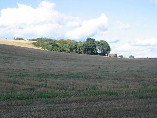
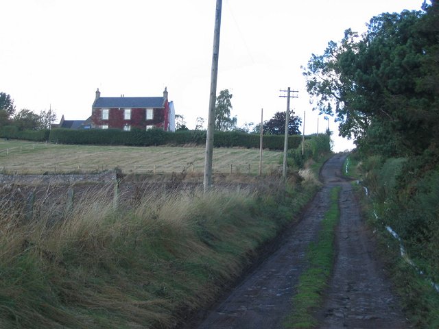
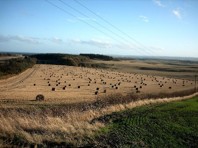
Cowbakie Hill is a prominent hill located in the region of Fife, Scotland. Standing at an elevation of approximately 265 meters (869 feet) above sea level, it offers breathtaking panoramic views of the surrounding countryside. Situated near the village of Auchtertool, Cowbakie Hill is a popular destination for hikers, nature enthusiasts, and locals seeking a tranquil escape.

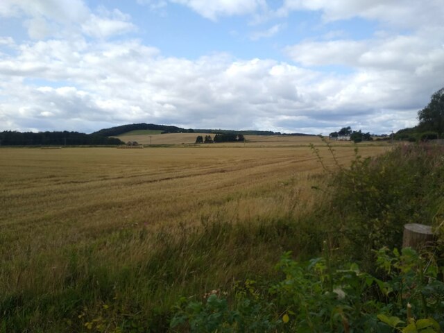
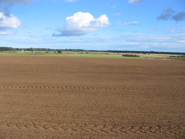
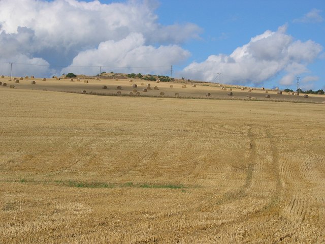
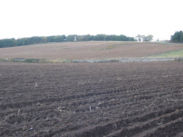
The hill is characterized by its gently sloping terrain, covered with a mix of heather, grasses, and scattered trees. The landscape is dotted with rocky outcrops that add to its rugged charm. The hill's relatively low elevation makes it accessible to walkers of all abilities, with a well-defined path leading to the summit.

Reaching the top of Cowbakie Hill rewards visitors with stunning vistas across the Fife countryside. On clear days, it is possible to see the nearby Lomond Hills to the west, as well as the expansive coastline of the Firth of Forth to the south. The hill also offers a unique perspective of the nearby towns and villages, providing a sense of the picturesque rural beauty that Fife has to offer.

Cowbakie Hill is home to a variety of wildlife, including a diverse range of bird species, small mammals, and occasionally grazing deer. The hill's natural beauty and peaceful surroundings make it an ideal spot for picnics, photography, or simply enjoying a leisurely stroll in the countryside.

Overall, Cowbakie Hill in Fife is a captivating destination for nature lovers, offering a chance to immerse oneself in the scenic splendor of the Scottish countryside.

If you have any feedback on the listing, please let us know in the comments section below.

Cowbakie Hill Images

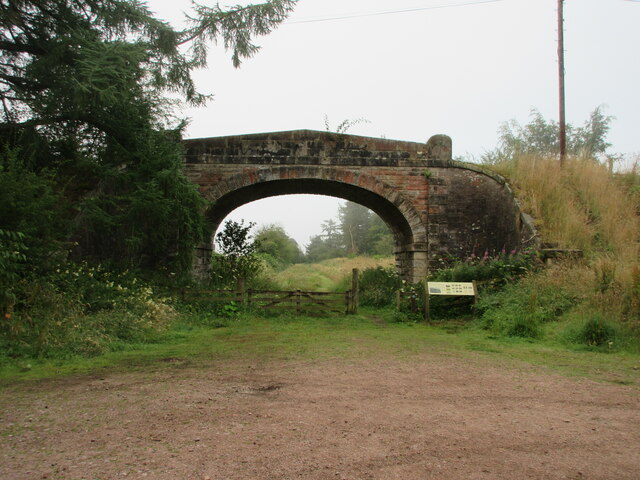
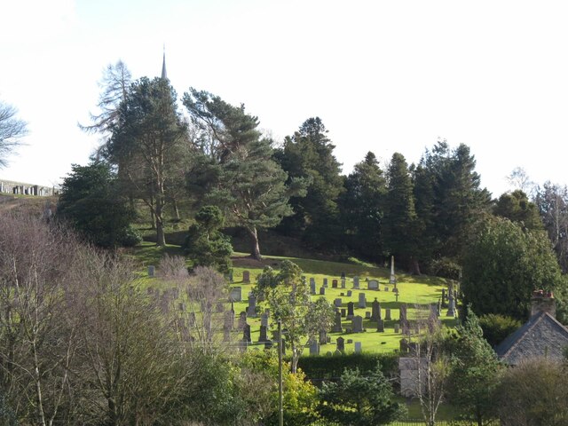
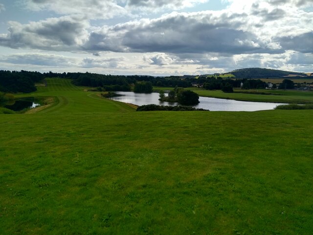
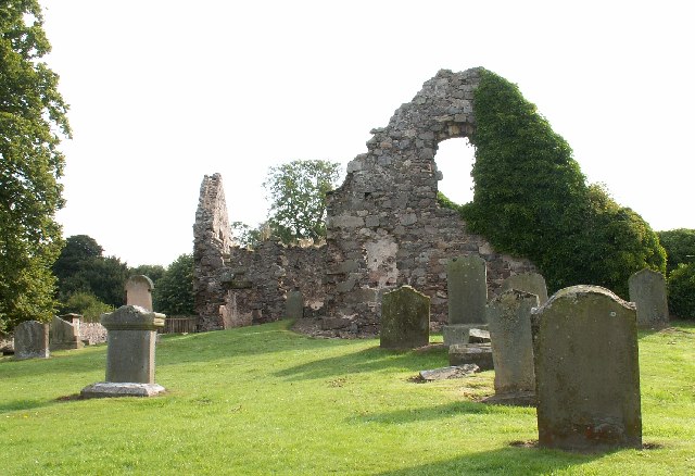
Images are sourced within 2km of 56.420216/-2.8994072 or Grid Reference NO4425. Thanks to Geograph Open Source API. All images are credited.

Old bridge at Morton Lochs Bridge over the old trackbed of the railway line at the Morton Lochs Car Park.
Old bridge at Morton Lochs
Bridge over the old trackbed of the railway line at the Morton Lochs Car Park.
Vicarsford Cemetery from the north
Houses of straw Tall structures of straw cubes at the B945.
Houses of straw
Tall structures of straw cubes at the B945.
Fields near Pickletillum Pickletillum Inn is no more, but the small car park next to the place where it once was offers a chance to take a picture of the extensive fields that dominate the western side of this square.
Fields near Pickletillum
Pickletillum Inn is no more, but the small car park next to the place where it once was offers a chance to take a picture of the extensive fields that dominate the western side of this square.
Drumoig golf course View from an elevated viewpoint next to the club house over the golf course.
Drumoig golf course
View from an elevated viewpoint next to the club house over the golf course.
Forgan Church Peaceful old ruined Church tucked away on a minor road.
Forgan Church
Peaceful old ruined Church tucked away on a minor road.
Craigie Hill Rough grassland hill, now with a golf course. Picture shows the green keeper's tools of trade, at a business devoted to golf course maintenance.  A useful niche in this part of the country.
Craigie Hill
Rough grassland hill, now with a golf course. Picture shows the green keeper's tools of trade, at a business devoted to golf course maintenance. A useful niche in this part of the country.
Craigie Grain store and farm buildings. Arable farm in the flatlands behind Tentsmuir dunes.
Craigie
Grain store and farm buildings. Arable farm in the flatlands behind Tentsmuir dunes.
Newly planted, Kirkland. Looking eastward across the arable plain behind Tentsmuir Forest. Field newly planted, with the forest on the horizon.
Newly planted, Kirkland.
Looking eastward across the arable plain behind Tentsmuir Forest. Field newly planted, with the forest on the horizon.
Kirkton A harvested field on the slopes above the flatlands of Tentsmuir. Looking north.
Kirkton
A harvested field on the slopes above the flatlands of Tentsmuir. Looking north.
Kirkton Barns Arable land, with bales still out on a hillside above Forgan Church.
Kirkton Barns
Arable land, with bales still out on a hillside above Forgan Church.
Easter Friarton Farmhouse at the end of a muddy lane. Looking northwards. The house is clad in Wisteria, which for a short time in autumn gives a glorious colour show.
Easter Friarton
Farmhouse at the end of a muddy lane. Looking northwards. The house is clad in Wisteria, which for a short time in autumn gives a glorious colour show.
Tattie field, Easter Friarton. Potatoes are a common crop in Fife. This field has been prepared for harvest by spraying with sulphuric acid. The acid kills the foliage making mechanical lifting of the tubers easy and reducing the risk of contamination by the toxic foliage. Looking west.
Tattie field, Easter Friarton.
Potatoes are a common crop in Fife. This field has been prepared for harvest by spraying with sulphuric acid. The acid kills the foliage making mechanical lifting of the tubers easy and reducing the risk of contamination by the toxic foliage. Looking west.
Near Inverdovat Fife Autumn scene in North East Fife
Near Inverdovat Fife
Autumn scene in North East Fife
Pickletillum Inn The public house is the main feature of the tiny hamlet of Pickletillem (spelling different from the pub!) which is on the A914 between Dundee and Cupar.
Pickletillum Inn
The public house is the main feature of the tiny hamlet of Pickletillem (spelling different from the pub!) which is on the A914 between Dundee and Cupar.
Morton Lochs, Tayport This is the north loch at Morton Lochs. This is a Scottish Natural Heritage nature reserve with hides to allow the wildlife to be observed.
Morton Lochs, Tayport
This is the north loch at Morton Lochs. This is a Scottish Natural Heritage nature reserve with hides to allow the wildlife to be observed.
Old Forgan Graveyard
Old Burial ground Southern wall of old burial ground just south of Morton House
Old Burial ground
Southern wall of old burial ground just south of Morton House
Show me another place!

Cowbakie Hill is located at Grid Ref: NO4425 (Lat: 56.420216, Lng: -2.8994072)

Unitary Authority: Fife

Police Authority: Fife

What 3 Words

///wishes.hazel.migrants. Near Newport-on-Tay, Fife

Related Wikis

Lady Leng Memorial Chapel

Lady Leng Memorial Chapel (also known as Vicarsford Cemetery Chapel) is a church building in Leuchars, Fife, Scotland. Built between 1895 and 1897, to...
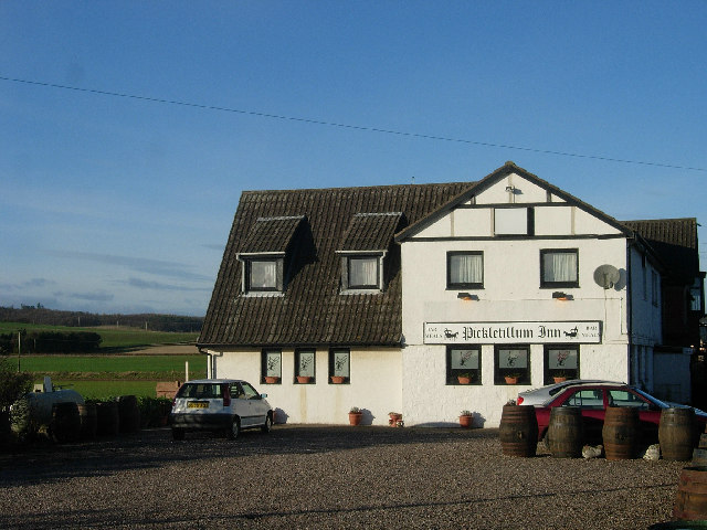
Pickletillum

Pickletillem or Pickletillum is a hamlet situated in Fife, Scotland. It is 9 miles (14 km) from the town of St. Andrews and 5.9 miles (9.5 km) from the...

Morton Lochs

Morton Lochs is part of Tentsmuir National Nature Reserve located near Tayport, in the north east of Fife, Scotland. It consists of three small lochs important...

Forgan (Fife)

Forgan is a civil parish in the Scottish county of Fife. It extends 4 miles in length along the north coast of Fife and is at the southern mouth of the...

Nearby Amenities

Located within 500m of 56.420216,-2.8994072
Power: pole
Lat/Long: 56.4160066/-2.8985563
Power: pole
Lat/Long: 56.4190855/-2.9070852
Power: pole
Lat/Long: 56.4199043/-2.9072389
Power: pole
Lat/Long: 56.4207071/-2.9073702
The data included in this document is from www.openstreetmap.org. The data is made available under ODbL.

Have you been to Cowbakie Hill?

Leave your review of Cowbakie Hill below (or comments, questions and feedback).