Aswanley Wood

Wood, Forest in Aberdeenshire

Scotland

Aswanley Wood

Aswanley Castle The castle is a private residence and not open to the public. There was no possibility, to get a little bit closer for a better shoot.
The river in front of the castle is the River Deveron.
Aswanley Castle Credit: Astrid H

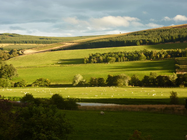
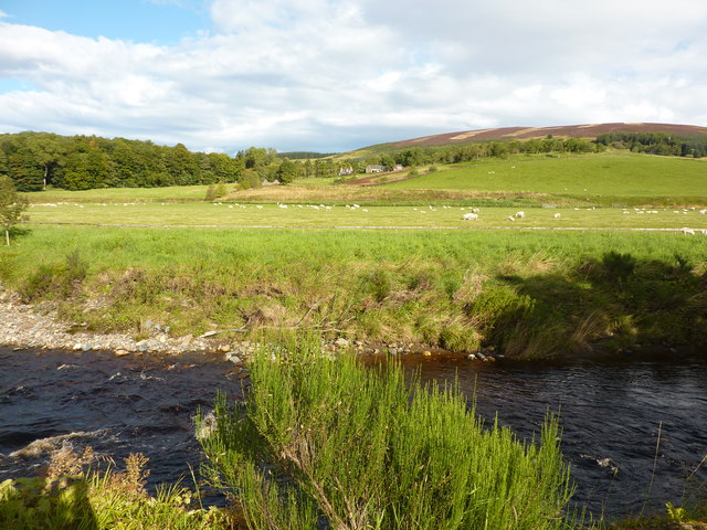
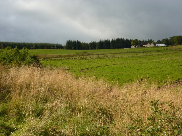
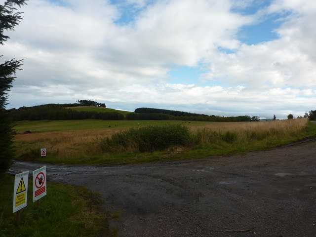
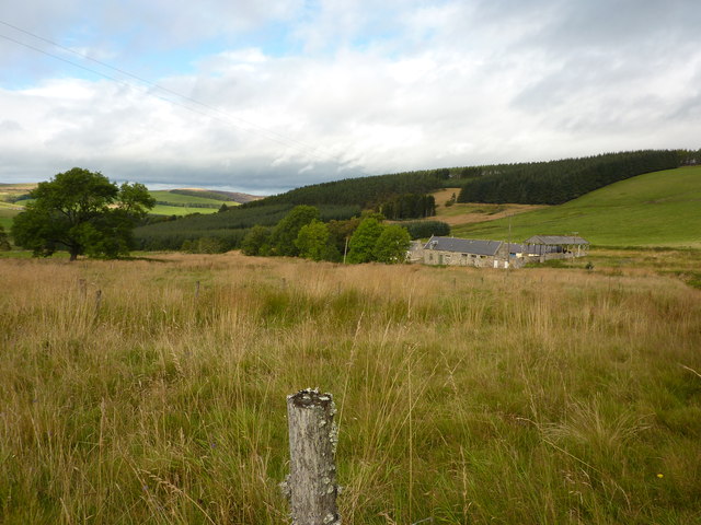
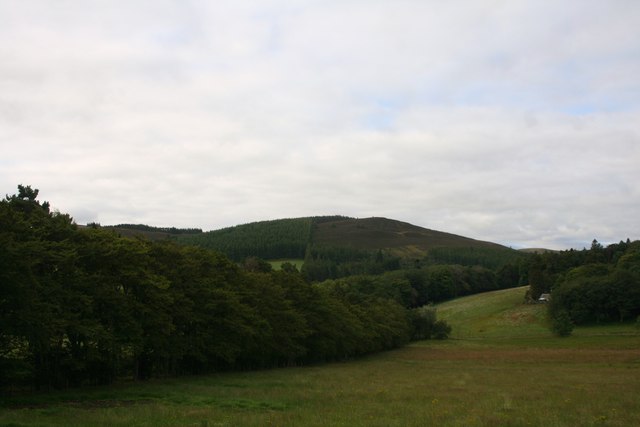
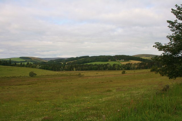
Aswanley Wood is a picturesque woodland located in the heart of Aberdeenshire, Scotland. Covering an area of approximately 200 acres, it is a haven for nature enthusiasts and outdoor adventurers alike. The wood is situated just south of the small village of Glass, offering a tranquil and secluded escape from the hustle and bustle of city life.

Aswanley Wood is primarily made up of native tree species, including oak, birch, and pine, creating a diverse and vibrant ecosystem. The wood is home to a wide variety of wildlife, such as red squirrels, roe deer, and a plethora of bird species. It is a particularly popular spot for birdwatchers, who flock to the wood to catch a glimpse of rare and migratory birds.

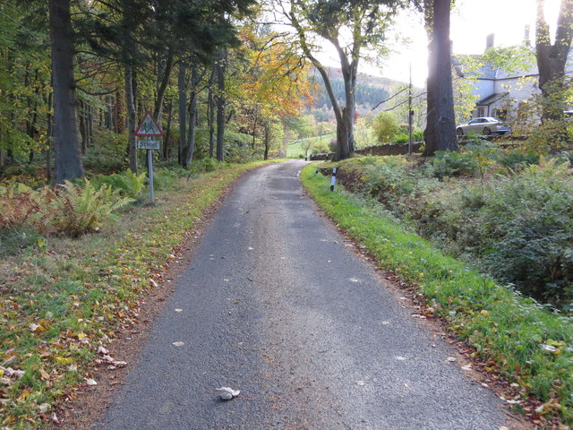
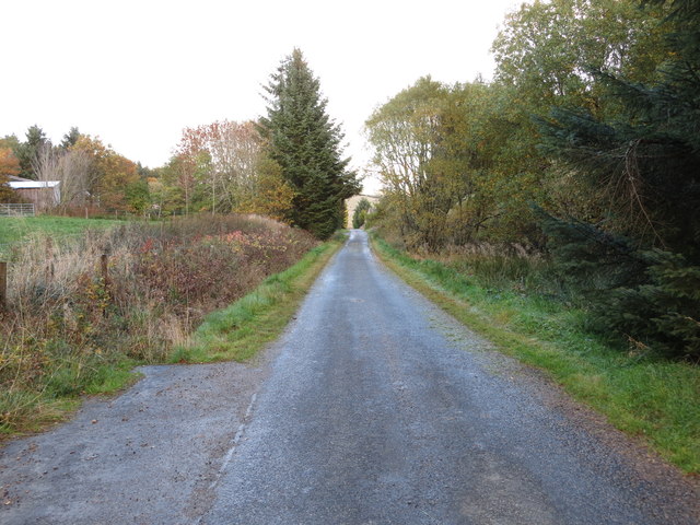
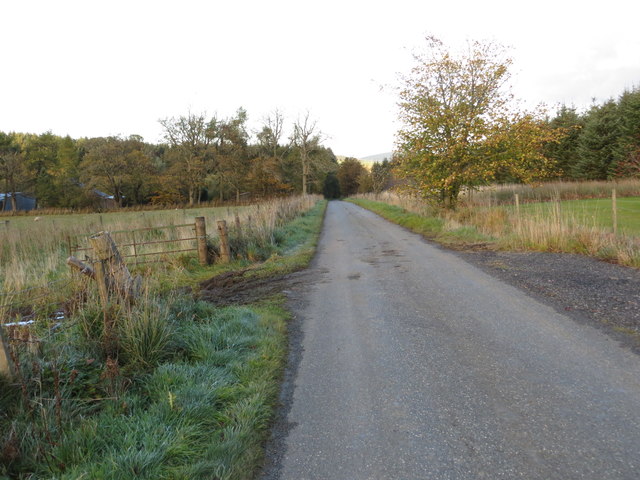
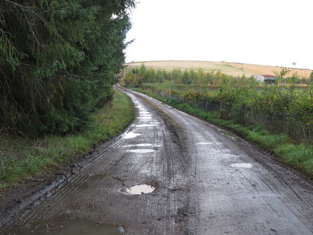
Visitors to Aswanley Wood can enjoy a network of well-maintained trails, allowing them to explore the woodland at their own pace. The trails wind through enchanting groves, over babbling streams, and past ancient stone walls, providing a truly immersive experience in nature. The wood is also home to several picnic areas, providing the perfect setting for a leisurely lunch surrounded by the sights and sounds of the forest.

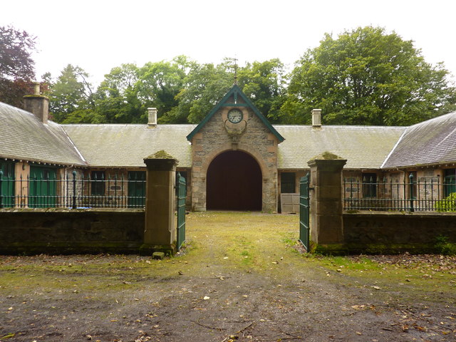
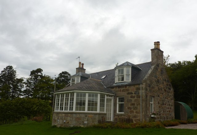
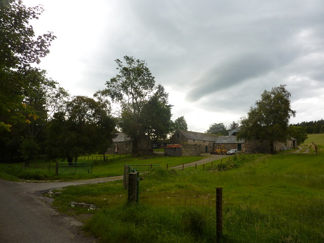
In addition to its natural beauty, Aswanley Wood has a rich history. There are remnants of old buildings and structures throughout the wood, offering a glimpse into its past as a working forest. The wood has also been used as a filming location for various movies and TV shows, further enhancing its allure.

Overall, Aswanley Wood is a captivating destination for those seeking a tranquil retreat in the heart of Aberdeenshire. Its breathtaking landscapes, diverse wildlife, and rich history make it a must-visit for nature lovers and history enthusiasts alike.

If you have any feedback on the listing, please let us know in the comments section below.

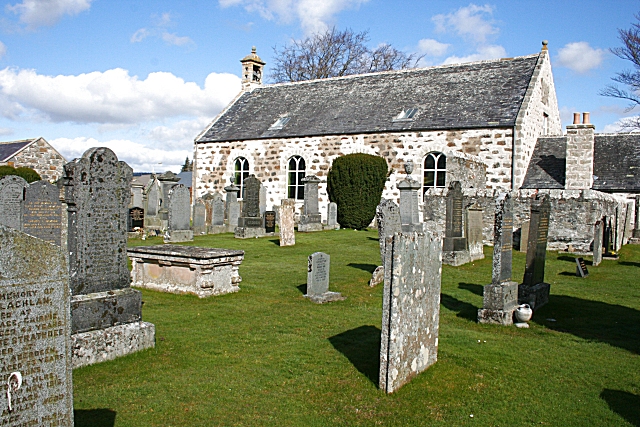
Aswanley Wood Images

Images are sourced within 2km of 57.441052/-2.9191207 or Grid Reference NJ4439. Thanks to Geograph Open Source API. All images are credited.

Aswanley Castle The castle is a private residence and not open to the public. There was no possibility, to get a little bit closer for a better shoot.
The river in front of the castle is the River Deveron.
Aswanley Castle
The castle is a private residence and not open to the public. There was no possibility, to get a little bit closer for a better shoot. The river in front of the castle is the River Deveron.
Stable block at Aswanley <a href="https://www.geograph.org.uk/photo/1212162">NJ4339 : 'Sharpes of Aberdeen' workshops</a> refers to a workshop here; "Sharpes of Aberdeen"
Stable block at Aswanley
NJ4339 : 'Sharpes of Aberdeen' workshops refers to a workshop here; "Sharpes of Aberdeen"
Mains of Aswanley Mains in Scotland normally refers to the main buildings of a farm. This may include a farmhouse, farm buildings such as a byre and dairy, and workers' cottages.
The mains was usually the principal farm on an estate, or at least the one with the most fertile ground. The Laird's house - if there was one - may have been nearby or some distance away but is not usually part of the mains. The equivalent in England would be a home farm or perhaps a manor.
Mains of Aswanley
Mains in Scotland normally refers to the main buildings of a farm. This may include a farmhouse, farm buildings such as a byre and dairy, and workers' cottages. The mains was usually the principal farm on an estate, or at least the one with the most fertile ground. The Laird's house - if there was one - may have been nearby or some distance away but is not usually part of the mains. The equivalent in England would be a home farm or perhaps a manor.
Evening light at Aswanley Looking south over farmland from Wester Boghead.
Evening light at Aswanley
Looking south over farmland from Wester Boghead.
River Deveron at Aswanley Looking north towards Straitinnan at Wester Boghead.
River Deveron at Aswanley
Looking north towards Straitinnan at Wester Boghead.
Drumduan, a farm on Aswanley Estate
Euroforest on Aswanley Estate The track on the left leads down into forest, with ongoing forestry operations, and associated Health & Safety signs.
Euroforest on Aswanley Estate
The track on the left leads down into forest, with ongoing forestry operations, and associated Health & Safety signs.
Westerpark, Aswanley Estate Farmhouse which is now holiday accommodation.
Westerpark, Aswanley Estate
Farmhouse which is now holiday accommodation.
Both Hill The wooded Both Hill by Belnaboth.
Both Hill
The wooded Both Hill by Belnaboth.
Pasture by Belnaboth Grassland by Belnaboth under Both Hill.
Pasture by Belnaboth
Grassland by Belnaboth under Both Hill.
Cattle Field by Cairnborrow Cattle grazing by Cairnbarrow Lodge.
Cattle Field by Cairnborrow
Cattle grazing by Cairnbarrow Lodge.
Straitinan, a cottage On the Aswanley estate, at Boghead, near the A920 between Huntley and Dufftown. Holiday cottage.
Straitinan, a cottage
On the Aswanley estate, at Boghead, near the A920 between Huntley and Dufftown. Holiday cottage.
Torry Farm
Torry Farm
Minor road at Torry Looking southward.
Minor road at Torry
Looking southward.
Minor road approaching Cairnagat Steading Looking north-eastward.
Minor road approaching Cairnagat Steading
Looking north-eastward.
Minor road between Malach and Aswanley Croft Looking north-eastward.
Minor road between Malach and Aswanley Croft
Looking north-eastward.
Track from minor road to Drumduan Looking north-westward.
Track from minor road to Drumduan
Looking north-westward.
Ordnance Survey Cut Mark This mark can be found on the wall of the church at Torry. The benchmark height is recorded as being 192.249 metres above sea level.
For more detail see : <span class="nowrap"><a title="https://www.bench-marks.org.uk/bm101698" rel="nofollow ugc noopener" href="https://www.bench-marks.org.uk/bm101698">Link</a><img style="margin-left:2px;" alt="External link" title="External link - shift click to open in new window" src="https://s1.geograph.org.uk/img/external.png" width="10" height="10"/></span>
Ordnance Survey Cut Mark
This mark can be found on the wall of the church at Torry. The benchmark height is recorded as being 192.249 metres above sea level. For more detail see : LinkExternal link
Show me another place!

Aswanley Wood is located at Grid Ref: NJ4439 (Lat: 57.441052, Lng: -2.9191207)

Unitary Authority: Aberdeenshire

Police Authority: North East

What 3 Words

///handrail.area.deprives. Near Huntly, Aberdeenshire

Nearby Locations

Aswanley Wood

Related Wikis

Blairmore School

Blairmore School was an independent boarding preparatory school in Glass near Huntly, Aberdeenshire until its closure in 1993. The site is now owned and...

Torry Burn, Huntly

Torry Burn is a burn which marks the boundary of the parish of Huntly, Aberdeenshire, Scotland. == References ==

Glass, Aberdeenshire

Glass is a parish about 8 miles west of Huntly, Aberdeenshire, Scotland. It is now wholly located in Aberdeenshire but before the reorganisation of Scottish...
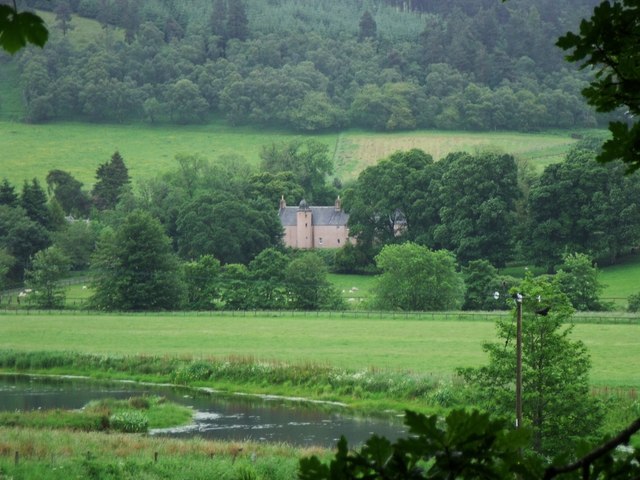
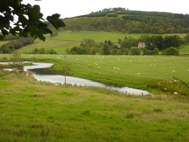
Beldorney Castle

Beldorney Castle is a Z-plan castle dating from the mid-16th century, about two miles south of Glass, in hilly country in the valley of the Deveron, in...

Kye Hill

Kye Hill is a hill by Huntly, Aberdeenshire, Scotland. It lies southwest of The Clashmach hill and is nearly the same height. There is a former limestone...

Ardonald

Ardonald is a rural area near Cairnie in Aberdeenshire, Scotland. == References ==

Cairnie

Cairnie, also written Cairney, (Scottish Gaelic: CĂ rnaidh/A' ChĂ rnaich) is a village in Aberdeenshire, Scotland. It is in the district of Huntly. It has...

Dunbennan

Dunbennan is a settlement near Huntly, Aberdeenshire, Scotland. The name comes from the Gaelic dun-beinnean, or the fort of the little hill, and originally...

Have you been to Aswanley Wood?

Leave your review of Aswanley Wood below (or comments, questions and feedback).