Letterfourie Wood
Wood, Forest in Banffshire
Scotland
Letterfourie Wood
Letterfourie Wood is a stunning forest located in Banffshire, Scotland. Covering an area of approximately 200 hectares, it is a true haven for nature lovers and outdoor enthusiasts. The wood is situated on the outskirts of the picturesque village of Cullen, offering visitors a serene and peaceful environment to explore.
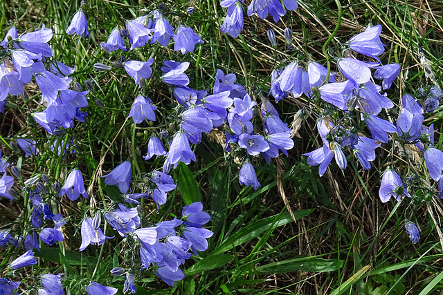
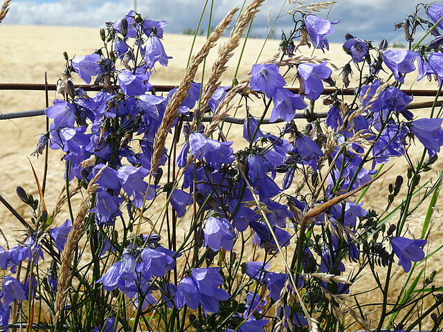
The wood is predominantly made up of mixed broadleaf trees, including oak, beech, and birch, which create a diverse and vibrant landscape throughout the year. It is home to a wide range of flora and fauna, with numerous bird species, such as woodpeckers and thrushes, making their nests in the trees. The forest floor is adorned with beautiful wildflowers, adding a splash of color to the surroundings.
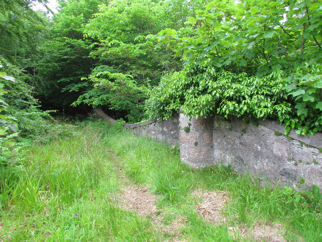
There are several walking trails that wind their way through the wood, providing visitors with the opportunity to immerse themselves in nature. These paths are well-maintained and suitable for walkers of all abilities, offering both short strolls and longer hikes. Along the way, you may come across tranquil ponds, babbling brooks, and hidden clearings, perfect for picnics or moments of solitude.
Letterfourie Wood is renowned for its rich biodiversity and is a designated Site of Special Scientific Interest (SSSI). It plays a crucial role in preserving and protecting the local ecosystem, ensuring the conservation of native plants and animals.
Overall, Letterfourie Wood is a true gem in the heart of Banffshire, offering visitors a chance to escape the hustle and bustle of everyday life and connect with nature. Whether you are a keen birdwatcher, an avid hiker, or simply looking for a peaceful retreat, this woodland paradise is a must-visit destination.
If you have any feedback on the listing, please let us know in the comments section below.
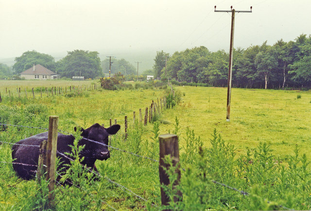
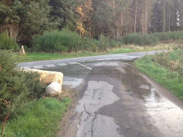
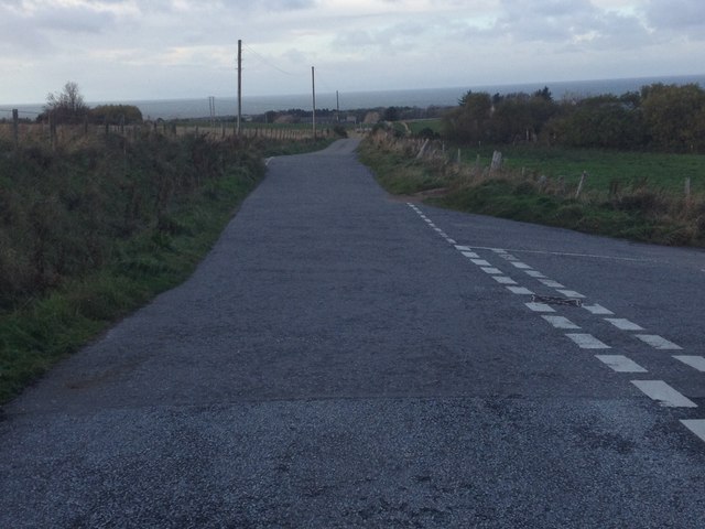
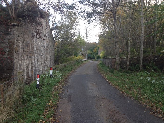
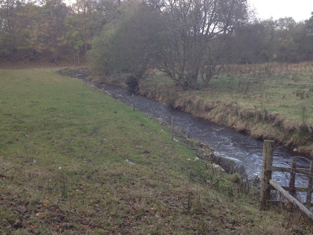
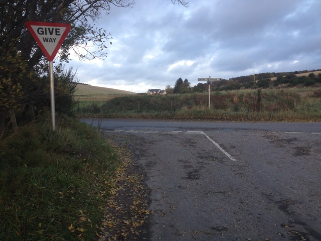
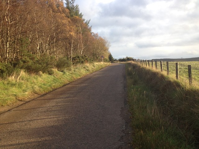
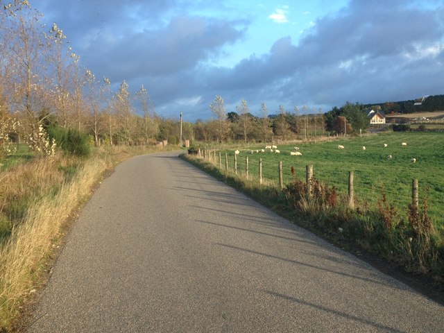
Letterfourie Wood Images
Images are sourced within 2km of 57.643598/-2.9255086 or Grid Reference NJ4461. Thanks to Geograph Open Source API. All images are credited.


Letterfourie Wood is located at Grid Ref: NJ4461 (Lat: 57.643598, Lng: -2.9255086)
Unitary Authority: Moray
Police Authority: North East
What 3 Words
///confining.trespass.auctioned. Near Buckie, Moray
Nearby Locations
Related Wikis

Letterfourie House
Letterfourie House is a Georgian house in Moray, built by Robert Adam and completed in 1773. Its main block has three main storeys, with a raised cellar...

Craigmin Bridge
Craigmin Bridge is an eighteenth century bridge within the grounds of Letterfourie House, in Moray, Scotland. Spanning the Burn of Letterfourie, it once...
Drybridge Platform railway station
Drybridge Platform railway station or Drybridge railway station was a station which served the hamlet of that name in the parish of Rathven and in addition...

Battle of Bauds
Battle of Bauds was fought in 962 in an area known as the Bauds, south of Findochty and west of Cullen near Portknockie, Scotland between Scotland, under...
Have you been to Letterfourie Wood?
Leave your review of Letterfourie Wood below (or comments, questions and feedback).