Frithie Wood

Wood, Forest in Fife

Scotland

Frithie Wood

Vicarsford Cemetery from the north
Vicarsford Cemetery from the north Credit: Becky Williamson

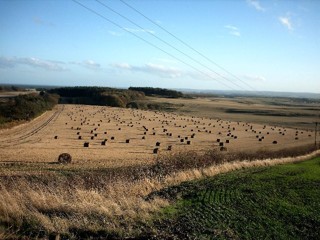
Frithie Wood is a picturesque forest located in the region of Fife, Scotland. Spread across an area of approximately 100 hectares, this wood is a haven for nature lovers and outdoor enthusiasts. The forest is situated near the village of Falkland and is easily accessible by foot or car.

Frithie Wood is known for its diverse range of flora and fauna, with a variety of tree species including oak, birch, and pine. The forest floor is carpeted with a rich tapestry of wildflowers, creating a vibrant and colorful setting. The wood is home to an array of wildlife, including red squirrels, roe deer, and a variety of bird species such as woodpeckers and owls.

The forest offers numerous walking trails and paths, allowing visitors to explore its natural beauty at their own pace. These trails provide breathtaking views of the surrounding countryside, making it a popular destination for photographers and nature enthusiasts alike. Additionally, the wood is intersected by a small stream, adding to its charm and tranquility.

Frithie Wood also holds historical significance, as it is believed to have been a hunting ground for the Stuart monarchs during the medieval period. There are remnants of old hunting lodges and structures within the wood, adding an air of mystery and intrigue to the area.

Overall, Frithie Wood is a captivating destination for those seeking a peaceful retreat in the heart of nature. Whether it's a leisurely walk, birdwatching, or simply enjoying the serenity of the wood, this forest offers a truly memorable experience for all who visit.

If you have any feedback on the listing, please let us know in the comments section below.
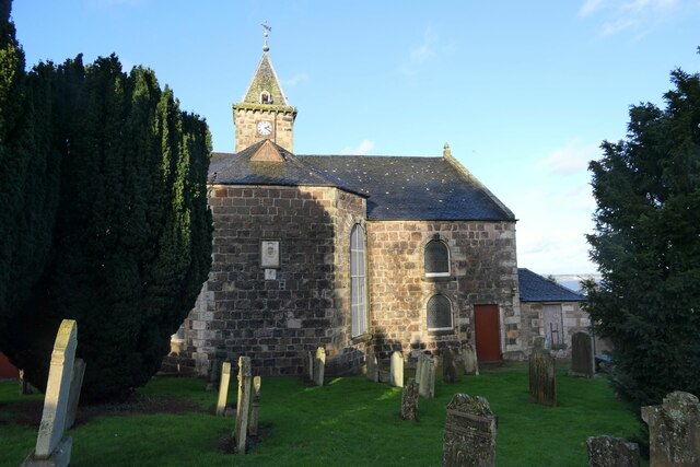
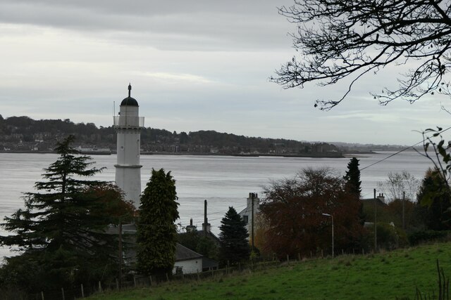
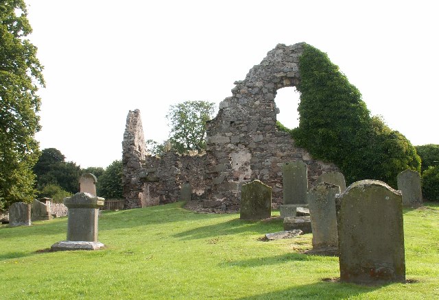
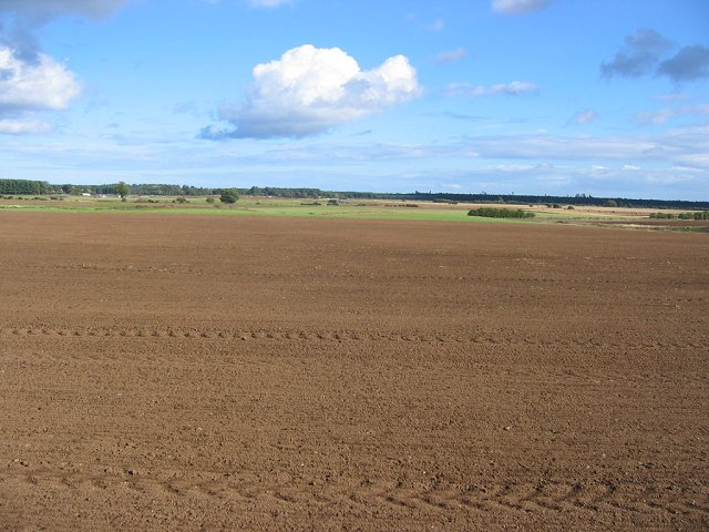
Frithie Wood Images

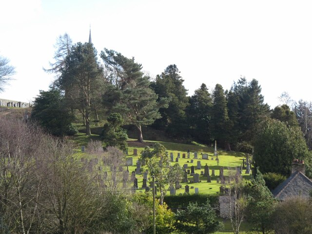
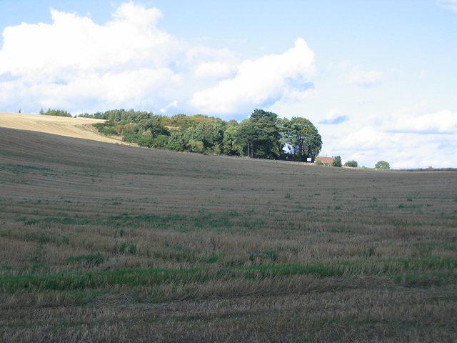
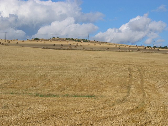
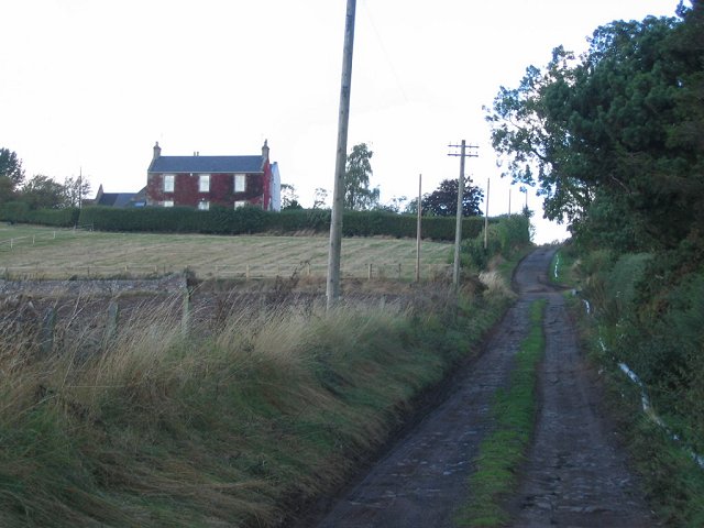
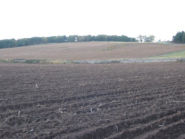
Images are sourced within 2km of 56.435634/-2.896836 or Grid Reference NO4427. Thanks to Geograph Open Source API. All images are credited.

Vicarsford Cemetery from the north
Gate at Inverdovat There is an Ordnance Survey rivet benchmark on the bottom stone in the picture. See <a href="https://www.geograph.org.uk/photo/6778536">NO4227 : Rivet benchmark on wall near Inverdovat</a>.
Gate at Inverdovat
There is an Ordnance Survey rivet benchmark on the bottom stone in the picture. See NO4227 : Rivet benchmark on wall near Inverdovat.
Wallace A Hughes hardware store, 17 Castle Street From the sign, it looks like electrical and plumbing services are also available.
Wallace A Hughes hardware store, 17 Castle Street
From the sign, it looks like electrical and plumbing services are also available.
Bell Rock Tavern, Dalgleish Street
Macduff Drive, Tayport At the junction with Harbour Road.
Macduff Drive, Tayport
At the junction with Harbour Road.
Fish and Chip shop, 2 Broad Street There is a cut bench mark on the corner of the chip shop next to the drain pipe and a closer view can be seen here: <a href="https://www.geograph.org.uk/photo/6999240">NO4529 : Cut Bench Mark, 2 Broad Street</a>.
Fish and Chip shop, 2 Broad Street
There is a cut bench mark on the corner of the chip shop next to the drain pipe and a closer view can be seen here: NO4529 : Cut Bench Mark, 2 Broad Street.
Cut Bench Mark, 2 Broad Street Bench Mark Database: <span class="nowrap"><a title="https://www.bench-marks.org.uk/bm157796" rel="nofollow ugc noopener" href="https://www.bench-marks.org.uk/bm157796">Link</a><img style="margin-left:2px;" alt="External link" title="External link - shift click to open in new window" src="https://s1.geograph.org.uk/img/external.png" width="10" height="10"/></span>
Cut Bench Mark, 2 Broad Street
Bench Mark Database: LinkExternal link
Field of wheat above the Firth of Tay
Walkers and cyclist on path above Tayport At this point both National Cycle Network route 1 and the Fife Coastal Path follow the track of an old railway leading down from the Tay Road Bridge into Tayport.
Walkers and cyclist on path above Tayport
At this point both National Cycle Network route 1 and the Fife Coastal Path follow the track of an old railway leading down from the Tay Road Bridge into Tayport.
Tayport Auld Kirk
Tayport Auld Kirk
West Lighthouse on Firth of Tay Taken from the Fife Coastal Path.
West Lighthouse on Firth of Tay
Taken from the Fife Coastal Path.
Forgan Church Peaceful old ruined Church tucked away on a minor road.
Forgan Church
Peaceful old ruined Church tucked away on a minor road.
Newly planted, Kirkland. Looking eastward across the arable plain behind Tentsmuir Forest. Field newly planted, with the forest on the horizon.
Newly planted, Kirkland.
Looking eastward across the arable plain behind Tentsmuir Forest. Field newly planted, with the forest on the horizon.
Kirkton A harvested field on the slopes above the flatlands of Tentsmuir. Looking north.
Kirkton
A harvested field on the slopes above the flatlands of Tentsmuir. Looking north.
Kirkton Barns Arable land, with bales still out on a hillside above Forgan Church.
Kirkton Barns
Arable land, with bales still out on a hillside above Forgan Church.
Easter Friarton Farmhouse at the end of a muddy lane. Looking northwards. The house is clad in Wisteria, which for a short time in autumn gives a glorious colour show.
Easter Friarton
Farmhouse at the end of a muddy lane. Looking northwards. The house is clad in Wisteria, which for a short time in autumn gives a glorious colour show.
Tattie field, Easter Friarton. Potatoes are a common crop in Fife. This field has been prepared for harvest by spraying with sulphuric acid. The acid kills the foliage making mechanical lifting of the tubers easy and reducing the risk of contamination by the toxic foliage. Looking west.
Tattie field, Easter Friarton.
Potatoes are a common crop in Fife. This field has been prepared for harvest by spraying with sulphuric acid. The acid kills the foliage making mechanical lifting of the tubers easy and reducing the risk of contamination by the toxic foliage. Looking west.
Near Inverdovat Fife Autumn scene in North East Fife
Near Inverdovat Fife
Autumn scene in North East Fife
Show me another place!

Frithie Wood is located at Grid Ref: NO4427 (Lat: 56.435634, Lng: -2.896836)

Unitary Authority: Fife

Police Authority: Fife

What 3 Words

///patio.genetics.partly. Near Tayport, Fife

Nearby Locations

Frithie Wood

Related Wikis

Tayport

Tayport, also known as Ferry-Port-on-Craig, is a town in Fife, Scotland. It lies on the Firth of Tay opposite Broughty Ferry, a suburb of Dundee. The two...

Morton Lochs

Morton Lochs is part of Tentsmuir National Nature Reserve located near Tayport, in the north east of Fife, Scotland. It consists of three small lochs important...

Tayport F.C.

Tayport Football Club are a Scottish football club from Tayport, Fife. Formed in 1947, they play their home games at The Canniepairt. Nicknamed the Port...

Tayport Castle

Tayport Castle, was a Z plan castle that was located near Tayport, Fife, Scotland. The castle was demolished in the 19th century and no remains above ground...

Have you been to Frithie Wood?

Leave your review of Frithie Wood below (or comments, questions and feedback).