Traquair Plantation

Wood, Forest in Selkirkshire

Scotland

Traquair Plantation

Selkirk Flood Protection Scheme, Linglie Road Extensive ground works in the area where the Long Philip Burn nears the Ettrick Water. Some traffic diversions are in force as Linglie Road is closed at present.
Selkirk Flood Protection Scheme, Linglie Road Credit: Jim Barton

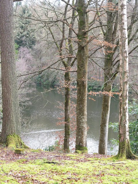
Traquair Plantation is a picturesque woodland located in Selkirkshire, Scotland. Spanning over a vast area, this plantation is renowned for its stunning natural beauty and rich biodiversity. It is situated near the village of Innerleithen, just a few miles south of the town of Peebles.

The plantation predominantly consists of a mixture of coniferous and broadleaf trees, including species such as Scots pine, beech, oak, and birch. These trees create a dense canopy that provides shelter and habitat for a wide range of wildlife, including deer, squirrels, and various bird species.

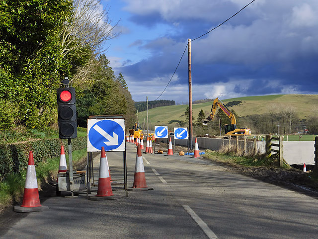
Visitors to Traquair Plantation are greeted with a network of well-maintained trails and paths that wind through the woodland, allowing them to explore the area at their own pace. These trails offer opportunities for hiking, cycling, and even horse riding, making it a popular destination for outdoor enthusiasts.

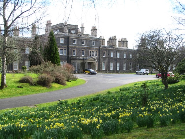
The plantation also holds historical significance, as it was once part of the extensive Traquair House estate. The estate dates back to the 12th century and is one of the oldest inhabited houses in Scotland. Today, Traquair House serves as a tourist attraction and is well worth a visit for those interested in history and architecture.

Whether one is seeking a peaceful stroll through nature, a challenging hike, or a glimpse into Scotland's past, Traquair Plantation offers something for everyone. Its scenic beauty, diverse wildlife, and historical connections make it a must-visit destination in Selkirkshire.

If you have any feedback on the listing, please let us know in the comments section below.

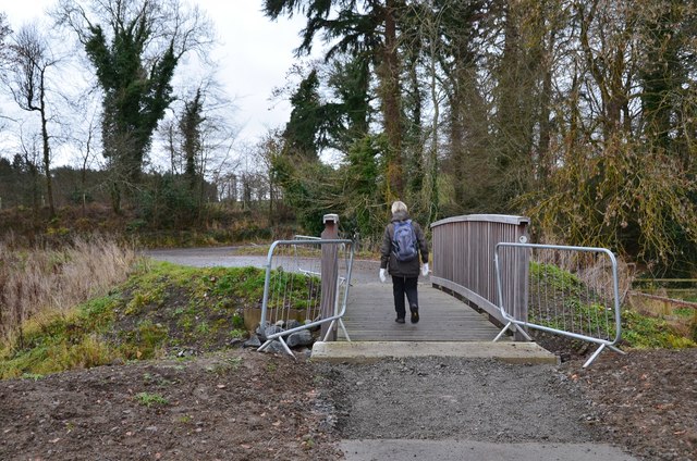
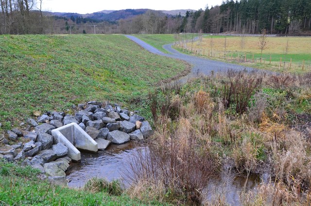
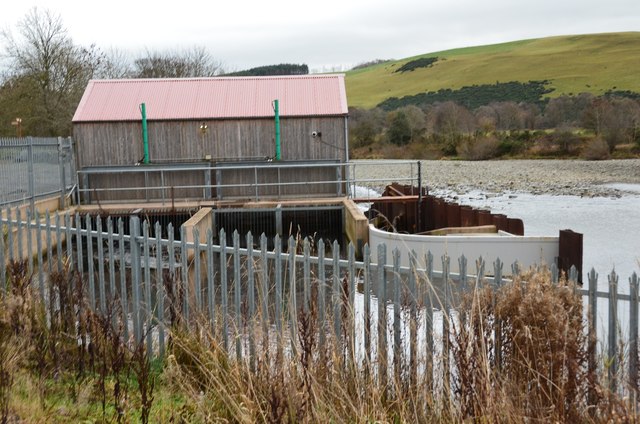
Traquair Plantation Images

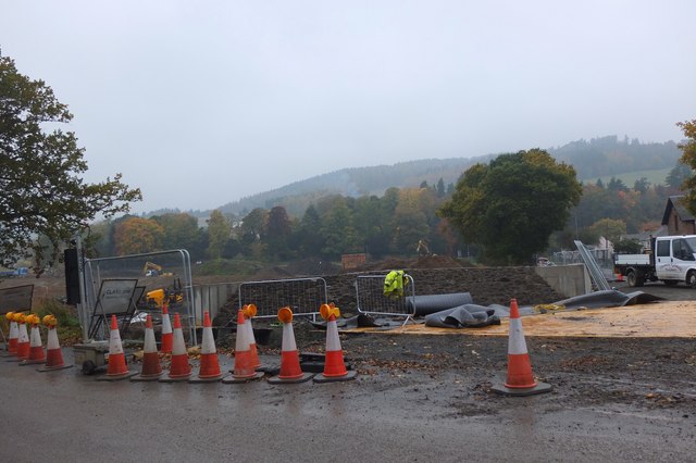
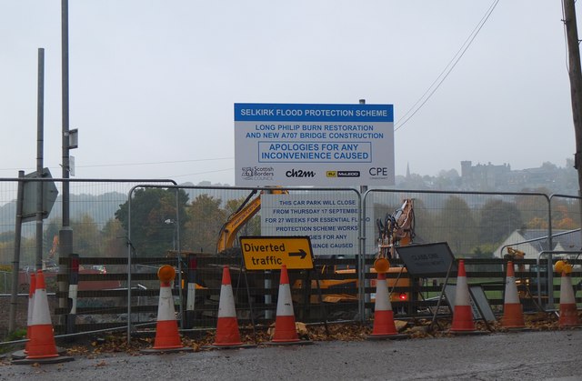
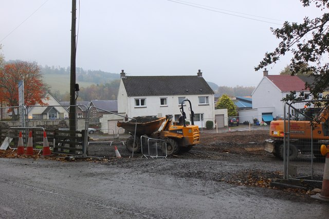
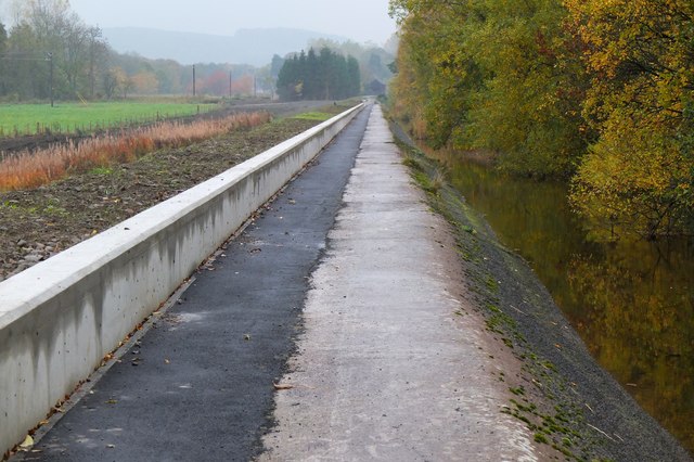
Images are sourced within 2km of 55.54964/-2.8882143 or Grid Reference NT4428. Thanks to Geograph Open Source API. All images are credited.

Selkirk Flood Protection Scheme, Linglie Road Extensive ground works in the area where the Long Philip Burn nears the Ettrick Water. Some traffic diversions are in force as Linglie Road is closed at present.
Selkirk Flood Protection Scheme, Linglie Road
Extensive ground works in the area where the Long Philip Burn nears the Ettrick Water. Some traffic diversions are in force as Linglie Road is closed at present.
Sign for Selkirk Flood Protection Scheme On Linglie Road near Selkirk Bridge.
Sign for Selkirk Flood Protection Scheme
On Linglie Road near Selkirk Bridge.
Selkirk Flood Protection Scheme Work in progress near the bridge over Long Philip Burn on Linglie Road.
Selkirk Flood Protection Scheme
Work in progress near the bridge over Long Philip Burn on Linglie Road.
Footbridge removed, Philiphaugh mill lade The footbridge from Ettrickhaugh Road over the mill lade has been removed during the flood protection work. The lade has been temporarily dammed a short distance upstream, and there is a new bridge nearby awaiting installation. 

See <a href="https://www.geograph.org.uk/photo/1949976">NT4528 : Footbridge over the mill lade, Selkirk</a> for the original bridge in 2010.
Footbridge removed, Philiphaugh mill lade
The footbridge from Ettrickhaugh Road over the mill lade has been removed during the flood protection work. The lade has been temporarily dammed a short distance upstream, and there is a new bridge nearby awaiting installation. See NT4528 : Footbridge over the mill lade, Selkirk for the original bridge in 2010.
Flood defence wall construction, Philiphaugh mill lade A wall under construction to protect the houses on Ettrickhaugh Road.
Flood defence wall construction, Philiphaugh mill lade
A wall under construction to protect the houses on Ettrickhaugh Road.
Footbridge-in-waiting, Ettrickhaugh The new footbridge, built by a Dutch company, in a compound near the Philiphaugh mill lade. It is part of the works for the Selkirk Flood Protection Scheme. See <a href="https://www.geograph.org.uk/photo/4720148">NT4528 : Footbridge removed, Philiphaugh mill lade</a> for the site of the bridge on the path from Selkirk to Philiphaugh.
Footbridge-in-waiting, Ettrickhaugh
The new footbridge, built by a Dutch company, in a compound near the Philiphaugh mill lade. It is part of the works for the Selkirk Flood Protection Scheme. See NT4528 : Footbridge removed, Philiphaugh mill lade for the site of the bridge on the path from Selkirk to Philiphaugh.
New path and temporary dam, Philiphaugh mill lade A new tarmac path has been made along the embankment built as part of the Flood Protection Scheme. The lade has been dammed here to permit construction of new flood defence walls downstream, before the lade joins the Ettrick Water.
New path and temporary dam, Philiphaugh mill lade
A new tarmac path has been made along the embankment built as part of the Flood Protection Scheme. The lade has been dammed here to permit construction of new flood defence walls downstream, before the lade joins the Ettrick Water.
Do not excavate the flood wall, Philiphaugh An instruction on the flood defence wall by the mill lade.
Do not excavate the flood wall, Philiphaugh
An instruction on the flood defence wall by the mill lade.
Flood defence at Philiphaugh mill lade A new flood defence wall alongside the mill lade from Philiphaugh to Selkirk.
Flood defence at Philiphaugh mill lade
A new flood defence wall alongside the mill lade from Philiphaugh to Selkirk.
Ordnance Survey Flush Bracket G368 This can be found on the wall of a private dwelling at Philiphaugh, Selkirk.
For more detail see : <span class="nowrap"><a title="http://www.bench-marks.org.uk/bm15593" rel="nofollow ugc noopener" href="http://www.bench-marks.org.uk/bm15593">Link</a><img style="margin-left:2px;" alt="External link" title="External link - shift click to open in new window" src="https://s1.geograph.org.uk/img/external.png" width="10" height="10"/></span>
Ordnance Survey Flush Bracket G368
This can be found on the wall of a private dwelling at Philiphaugh, Selkirk. For more detail see : LinkExternal link
Selkirk Flood Prevention Scheme work at Philiphaugh Traffic lights are in place while a low concrete wall is being constructed at a field boundary with the A708.
Selkirk Flood Prevention Scheme work at Philiphaugh
Traffic lights are in place while a low concrete wall is being constructed at a field boundary with the A708.
Through trees to the Upper Lake In the grounds of Bowhill House near Selkirk.
Through trees to the Upper Lake
In the grounds of Bowhill House near Selkirk.
Bowhill House north front The main block of the very large country house belonging to the Duke of Buccleuch. The central section seen here is 18thC whilst the wings to either side date from around 1814.
Bowhill House north front
The main block of the very large country house belonging to the Duke of Buccleuch. The central section seen here is 18thC whilst the wings to either side date from around 1814.
Long Philip Burn channel, Selkirk The burn's course after completion of the flood prevention works, with the A707 bridge. Compare with <a href="https://www.geograph.org.uk/photo/4718851">NT4628 : Selkirk Flood Protection Scheme</a> showing work in progress in October 2015.
Long Philip Burn channel, Selkirk
The burn's course after completion of the flood prevention works, with the A707 bridge. Compare with NT4628 : Selkirk Flood Protection Scheme showing work in progress in October 2015.
Flood relief area, Long Philip Burn, Selkirk A remodelled area to contain and slow down flow on the Long Philip Burn, a tributary of the Ettrick Water. See also <a href="https://www.geograph.org.uk/photo/4718828">NT4628 : Selkirk Flood Protection Scheme, Linglie Road</a> for work in progress here  in October 2015. A new path leads to a footbridge upstream.
Flood relief area, Long Philip Burn, Selkirk
A remodelled area to contain and slow down flow on the Long Philip Burn, a tributary of the Ettrick Water. See also NT4628 : Selkirk Flood Protection Scheme, Linglie Road for work in progress here in October 2015. A new path leads to a footbridge upstream.
New footbridge over the Long Philip Burn, Selkirk Part of the flood protection works where the burn, prone to flash flooding from heavy rainfall in the hills around the Three Brethren, enters sediment ponds before continuing to the Ettrick Water through the landscaped area shown in <a href="https://www.geograph.org.uk/photo/5224909">NT4528 : Flood relief area, Long Philip Burn, Selkirk</a>. This new path starts by the A707 bridge on Linglie Road and emerges on Corbylinn Road.
New footbridge over the Long Philip Burn, Selkirk
Part of the flood protection works where the burn, prone to flash flooding from heavy rainfall in the hills around the Three Brethren, enters sediment ponds before continuing to the Ettrick Water through the landscaped area shown in NT4528 : Flood relief area, Long Philip Burn, Selkirk. This new path starts by the A707 bridge on Linglie Road and emerges on Corbylinn Road.
Mill lade and embankment, Philiphaugh The mill lade from the cauld on the Ettrick Water flows through a culvert under the new embankment built as part of the Selkirk Flood Protection Scheme.
Mill lade and embankment, Philiphaugh
The mill lade from the cauld on the Ettrick Water flows through a culvert under the new embankment built as part of the Selkirk Flood Protection Scheme.
Hydroelectric plant at Murray's Cauld, Ettrick Water The building houses equipment for two Archimedes screw water turbines to generate up to 220kW of electricity from the natural flow over the weir. This type of turbine works well for high flow, low head as is the case here. Behind the white concrete wall is the fish pass to allow salmon and trout to bypass the turbines, which are only allowed to operate if the flow is sufficiently high.
Hydroelectric plant at Murray's Cauld, Ettrick Water
The building houses equipment for two Archimedes screw water turbines to generate up to 220kW of electricity from the natural flow over the weir. This type of turbine works well for high flow, low head as is the case here. Behind the white concrete wall is the fish pass to allow salmon and trout to bypass the turbines, which are only allowed to operate if the flow is sufficiently high.
Show me another place!

Traquair Plantation is located at Grid Ref: NT4428 (Lat: 55.54964, Lng: -2.8882143)

Unitary Authority: The Scottish Borders

Police Authority: The Lothians and Scottish Borders

What 3 Words

///flame.adjusting.grinning. Near Selkirk, Scottish Borders

Related Wikis

Battle of Philiphaugh

The Battle of Philiphaugh was fought on 13 September 1645 during the Wars of the Three Kingdoms near Selkirk in the Scottish Borders. The Royalist army...

Philiphaugh

Philiphaugh is a village by the Yarrow Water, on the outskirts of Selkirk, in the Scottish Borders. Places nearby include Bowhill, Broadmeadows, the Ettrick...

Yarrow Water

The Yarrow Water is a river in the Borders in the south east of Scotland. It is a tributary of the Ettrick Water (itself a tributary of the Tweed) and...

Bowhill House

Bowhill House is a historic house near Bowhill at Selkirk in the Scottish Borders area of Scotland. It is a member of the Historic Houses Association,...

Nearby Amenities

Located within 500m of 55.54964,-2.8882143
Harehead Hill
Natural: peak
Lat/Long: 55.548637/-2.8947805
The data included in this document is from www.openstreetmap.org. The data is made available under ODbL.

Have you been to Traquair Plantation?

Leave your review of Traquair Plantation below (or comments, questions and feedback).