Lochwood Plantation
Wood, Forest in East Lothian
Scotland
Lochwood Plantation
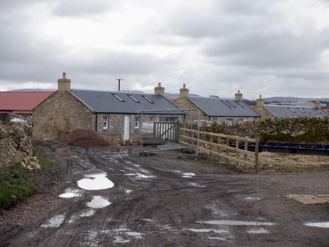
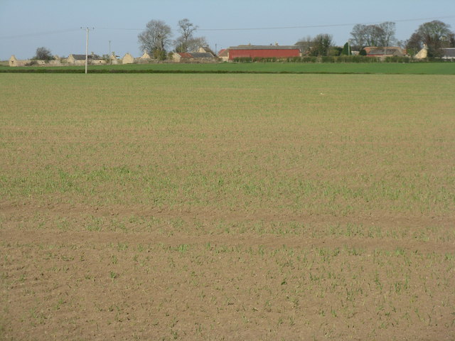
Lochwood Plantation is an expansive woodland located in East Lothian, Scotland. Stretching over a vast area, the plantation is known for its dense forest cover and abundant wildlife. The plantation is situated near the village of Gifford, approximately 20 miles east of Edinburgh.
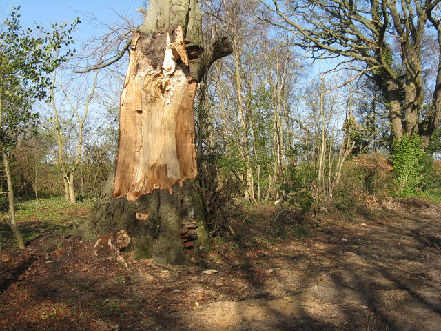
The woodland is primarily composed of native tree species such as oak, beech, and birch, along with various conifers. This diverse tree population creates a rich and vibrant ecosystem, providing a habitat for numerous wildlife species. Lochwood Plantation is home to a wide range of fauna, including red squirrels, roe deer, and a variety of bird species such as woodpeckers and owls.
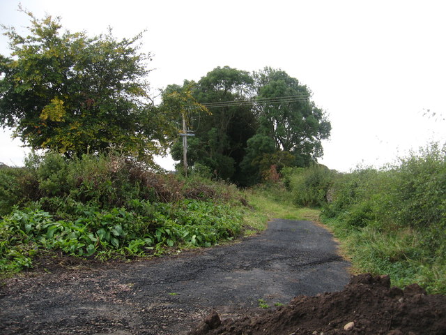
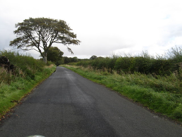
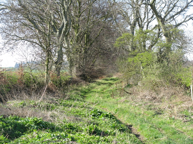
The plantation offers a tranquil and picturesque environment, attracting visitors who enjoy hiking and nature walks. There are several well-maintained trails throughout the woodland, allowing visitors to explore its beauty and discover hidden gems along the way. The plantation also features a small loch, adding to its scenic charm.
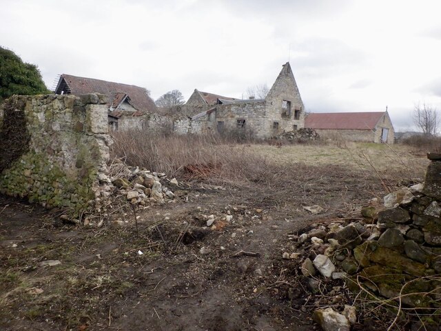
In addition to its natural beauty, Lochwood Plantation has historical significance. The area was once used for timber production, and remnants of old sawmills can still be found within the woodland. This historical element adds an interesting layer to the plantation, making it appealing to both nature enthusiasts and history buffs.
Overall, Lochwood Plantation is a remarkable woodland that showcases the diverse flora and fauna of East Lothian. It offers a serene escape from the bustling city life and provides a haven for wildlife, making it a cherished destination for nature lovers and outdoor enthusiasts.
If you have any feedback on the listing, please let us know in the comments section below.
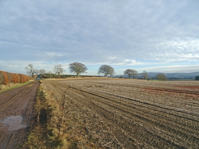
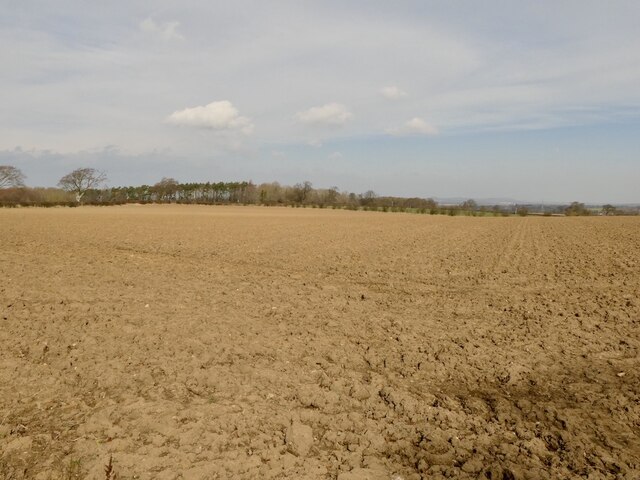
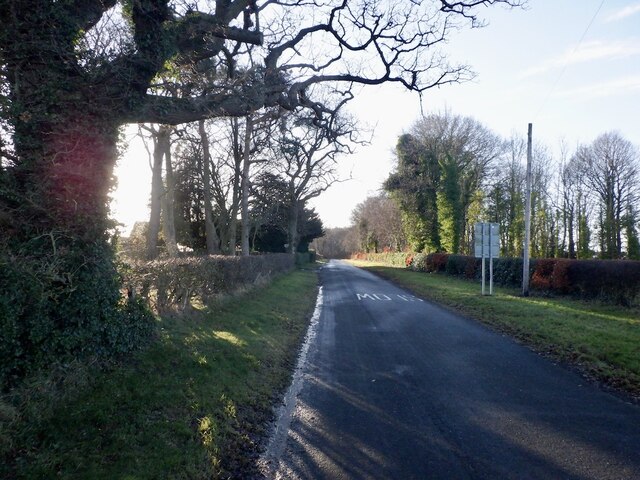
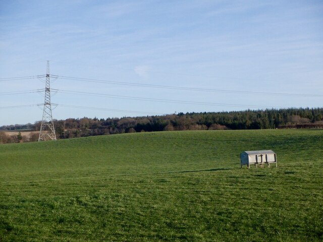
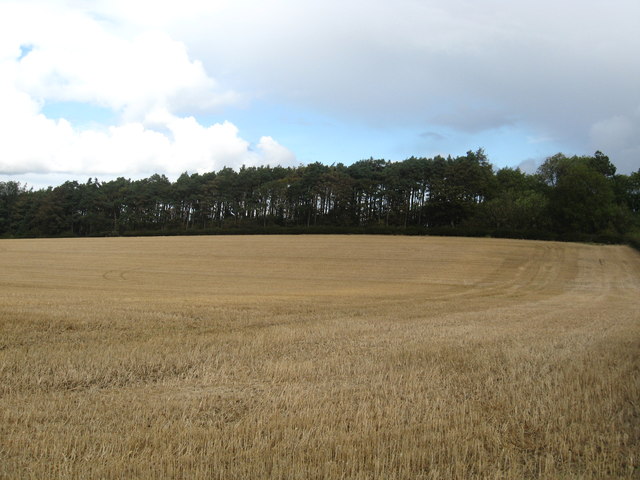
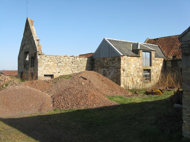
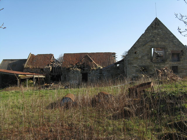
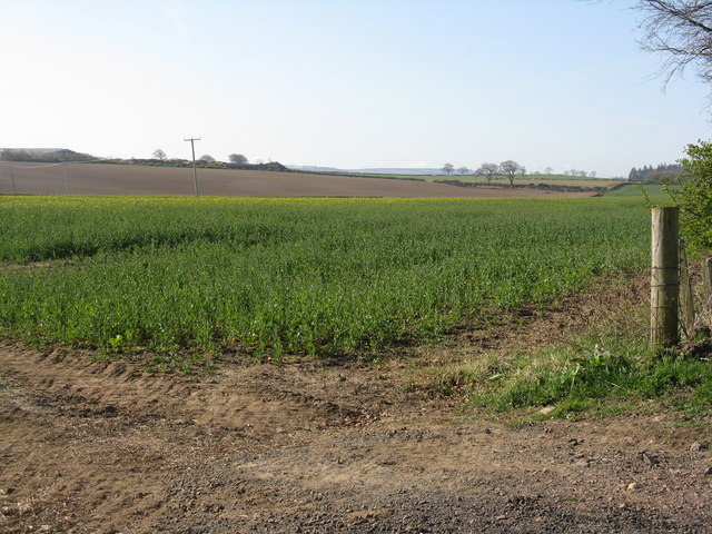
Lochwood Plantation Images
Images are sourced within 2km of 55.87169/-2.8968637 or Grid Reference NT4364. Thanks to Geograph Open Source API. All images are credited.


Lochwood Plantation is located at Grid Ref: NT4364 (Lat: 55.87169, Lng: -2.8968637)
Unitary Authority: East Lothian
Police Authority: The Lothians and Scottish Borders
What 3 Words
///destroyer.recount.backers. Near Pencaitland, East Lothian
Nearby Locations
Related Wikis
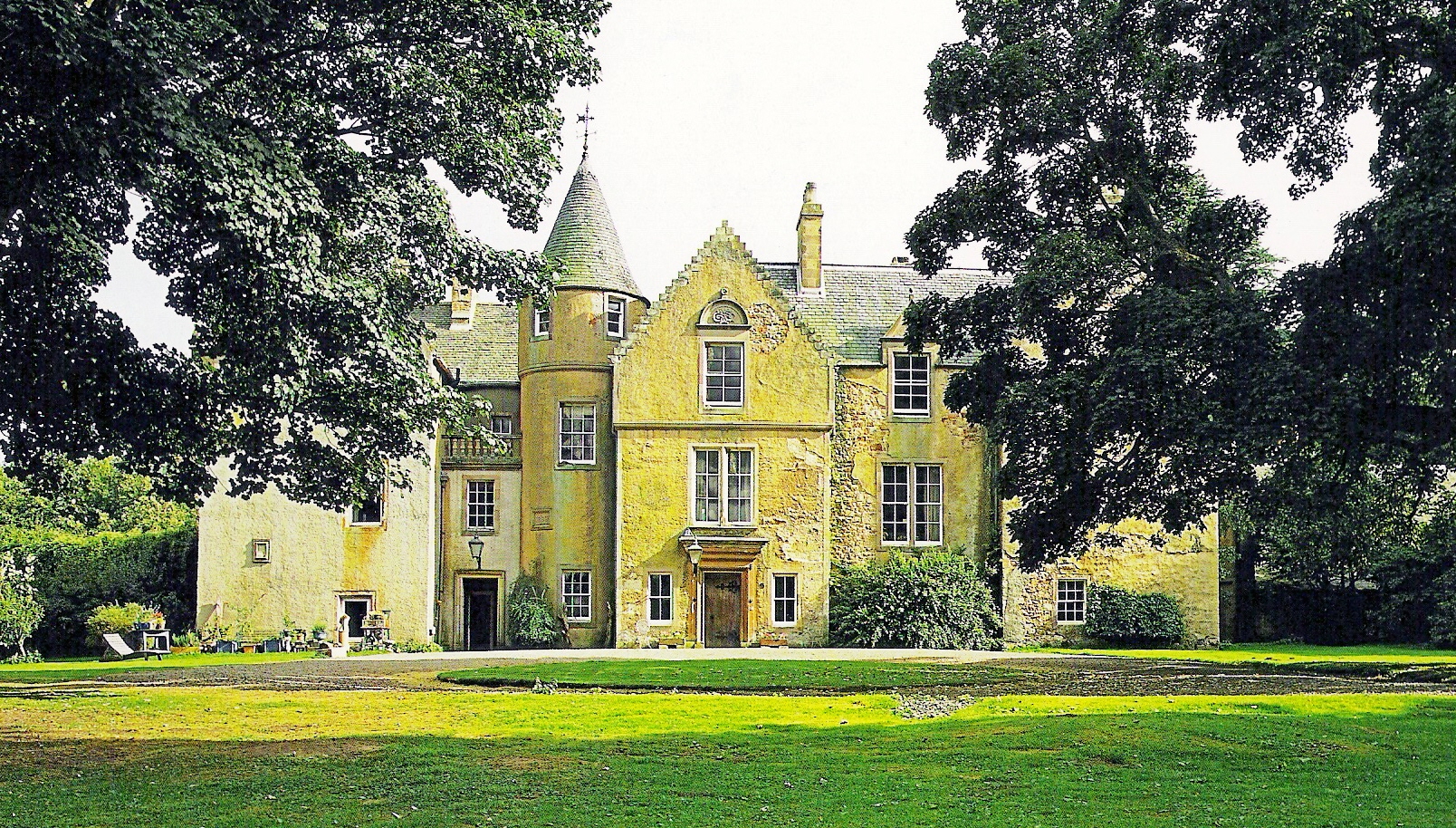
Keith Marischal
Keith Marischal is a Scottish Baronial Country house lying in the parish of Humbie, East Lothian, Scotland. The original building was an "L-shaped" Tower...

Peaston
Peaston is a small settlement on the B6371 road in the parish of Ormiston in East Lothian, Scotland, about 14 miles (23 km) south-east of Edinburgh, 7...

Glenkinchie distillery
Glenkinchie distillery is a Scotch single malt whisky distillery in East Lothian, Scotland. It is one of the six distilleries in the Lowland region. It...
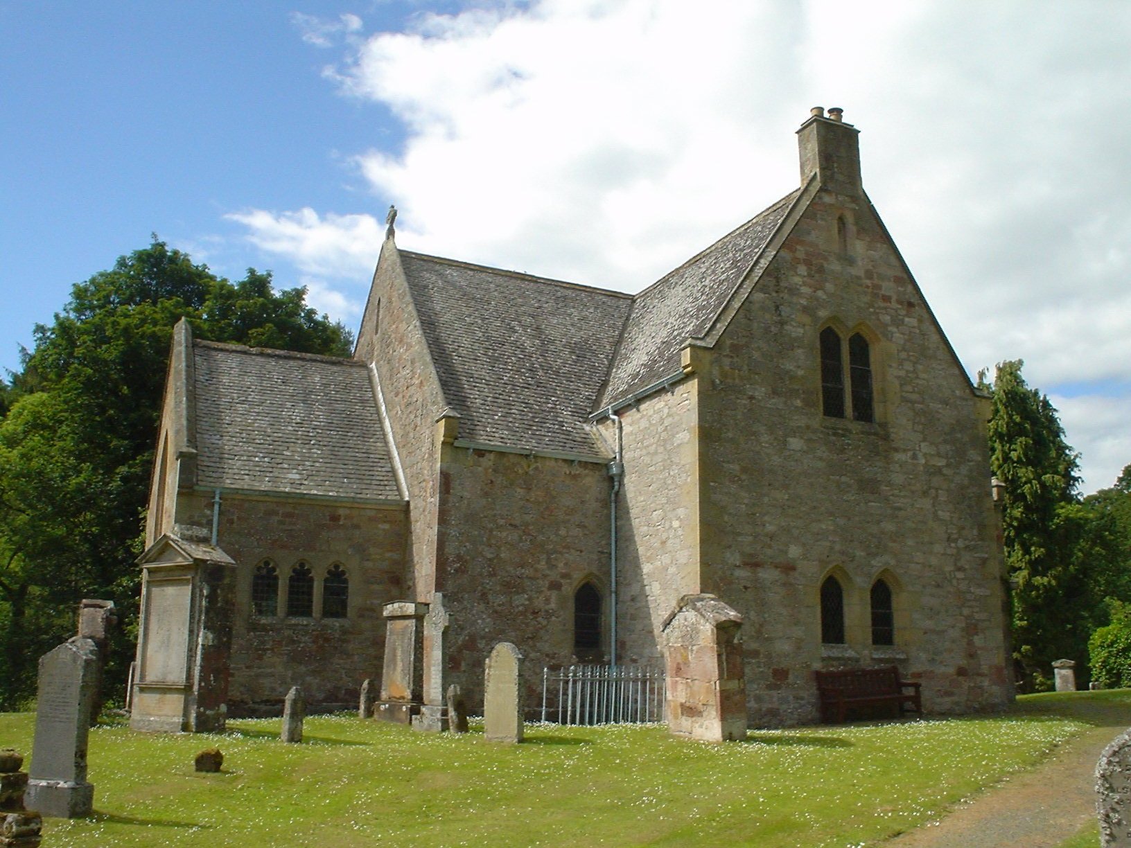
Humbie Parish Church
Humbie Parish Church is a church in the small village of Humbie, East Lothian, Scotland. It is part of the Church of Scotland, and is a linked charge which...
Nearby Amenities
Located within 500m of 55.87169,-2.8968637Have you been to Lochwood Plantation?
Leave your review of Lochwood Plantation below (or comments, questions and feedback).