Windy Mains Wood

Wood, Forest in East Lothian

Scotland

Windy Mains Wood

Stubble Field near Windy Mains A winter field near Windy Mains as seen from the track to Whitburgh. Lammermuirs can be seen in the distance.
Stubble Field near Windy Mains Credit: Adam Ward

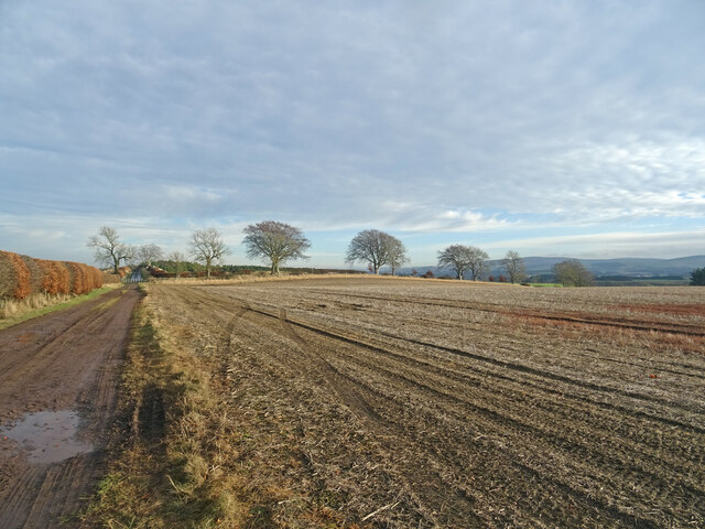
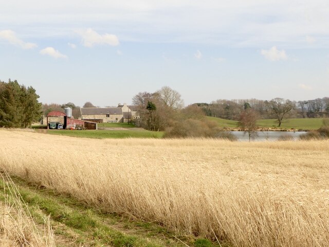
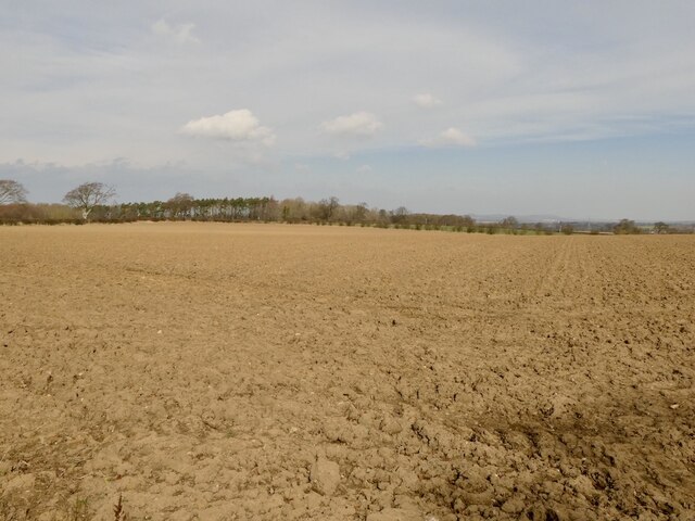
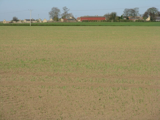
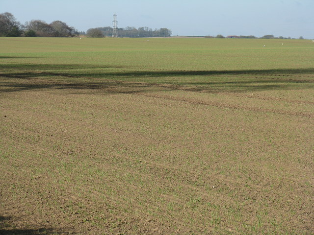
Windy Mains Wood is a beautiful woodland located in East Lothian, Scotland. Covering an area of approximately 50 acres, it is a popular destination for nature enthusiasts and outdoor lovers. The wood is nestled amidst rolling hills and offers a tranquil and serene atmosphere.

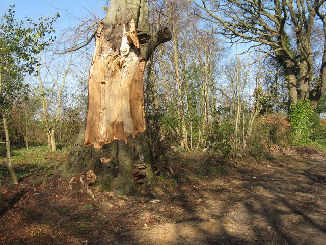
The wood is predominantly composed of native Scottish tree species, including oak, birch, and Scots pine. These trees provide a dense canopy that offers shade and shelter to a wide variety of wildlife. As visitors explore the wood, they may come across animals such as red squirrels, roe deer, and a multitude of bird species.

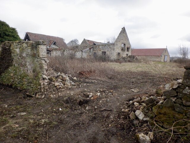
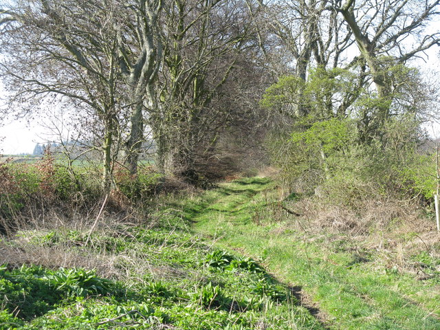
Several walking trails wind their way through Windy Mains Wood, allowing visitors to fully immerse themselves in the natural surroundings. These paths are well-maintained and suitable for all ages and fitness levels. Along the way, there are informative signposts highlighting points of interest, such as ancient trees and historical landmarks.

Windy Mains Wood also boasts a diverse range of plant life, with the forest floor adorned with wildflowers, ferns, and mosses. In spring, the wood is particularly enchanting, as bluebells carpet the ground, creating a stunning display of color.

The wood is open to the public year-round, and admission is free. There are picnic areas and benches scattered throughout the woodland, providing a perfect spot for visitors to relax and enjoy a picnic amidst the natural beauty.

Overall, Windy Mains Wood is a captivating destination for those seeking a peaceful retreat and a chance to reconnect with nature.

If you have any feedback on the listing, please let us know in the comments section below.

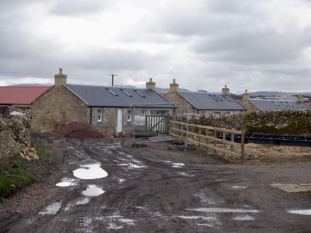
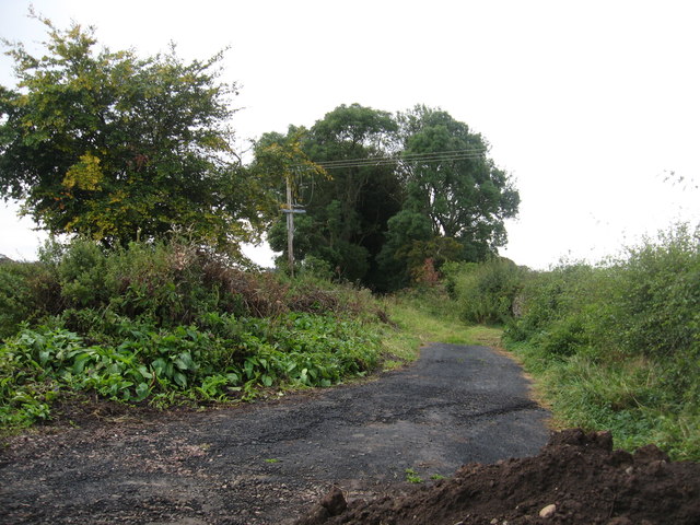
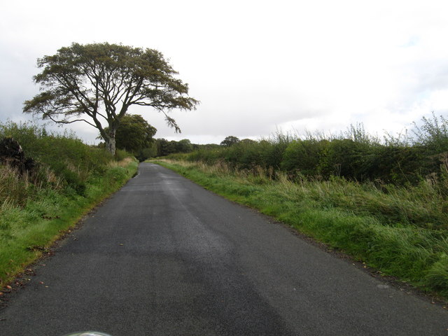
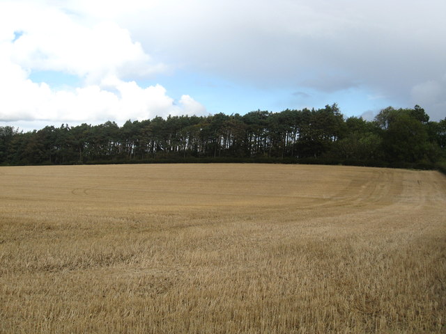
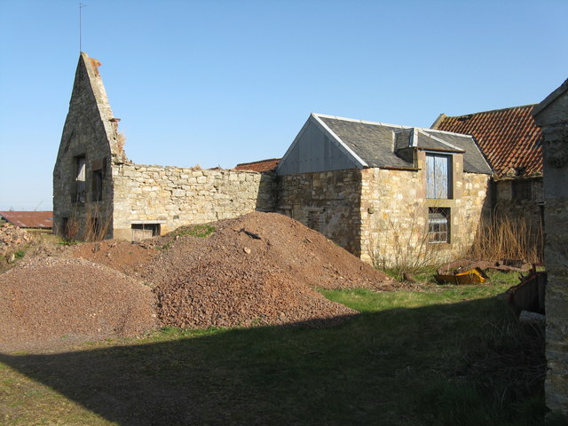
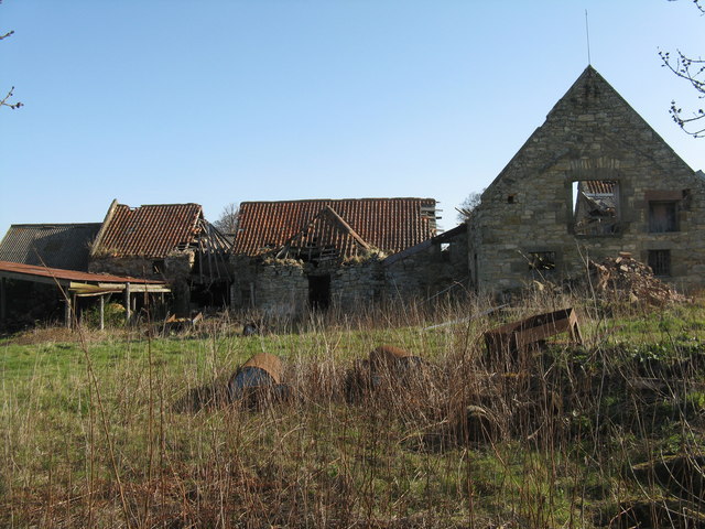
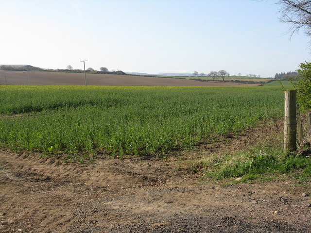
Windy Mains Wood Images

Images are sourced within 2km of 55.86693/-2.9002055 or Grid Reference NT4364. Thanks to Geograph Open Source API. All images are credited.

Stubble Field near Windy Mains A winter field near Windy Mains as seen from the track to Whitburgh. Lammermuirs can be seen in the distance.
Stubble Field near Windy Mains
A winter field near Windy Mains as seen from the track to Whitburgh. Lammermuirs can be seen in the distance.
Costerton Mains Taken 16 years after <a href="https://www.geograph.org.uk/photo/82964">NT4362 : Costerton Mains</a>.
Costerton Mains
Taken 16 years after NT4362 : Costerton Mains.
Field, Keith, East  Lothian Taken 16 years after <a href="https://www.geograph.org.uk/photo/76088">NT4465 : Cattle near Keith Mains</a> and arable this time.
Field, Keith, East Lothian
Taken 16 years after NT4465 : Cattle near Keith Mains and arable this time.
Ruined Steading, Peaston
Rebuilt cottages, Peaston This row: <a href="https://www.geograph.org.uk/photo/268638">SZ0076 : Cliffs east of Dancing Ledge</a> has been refurbished and the renovated cottages are almost ready for occupation.
Rebuilt cottages, Peaston
This row: SZ0076 : Cliffs east of Dancing Ledge has been refurbished and the renovated cottages are almost ready for occupation.
Ruin, Peaston
Ruin, Peaston
The old Moor Road near Peaston The old staging road, once known as a 'highwayman's haunt' is now a humble track.
The old Moor Road near Peaston
The old staging road, once known as a 'highwayman's haunt' is now a humble track.
Rural road heading past the lands of Keith Mains In East Lothian.
Rural road heading past the lands of Keith Mains
In East Lothian.
Stubble field and shelter belt Near Keith Mains in East Lothian.
Stubble field and shelter belt
Near Keith Mains in East Lothian.
Peaston Farm - the collapse continues For earlier photos see <a href="https://www.geograph.org.uk/photo/1894507">NT4265 : Farm buildings at Peaston</a>, the latest almost two years earlier.
Peaston Farm - the collapse continues
For earlier photos see NT4265 : Farm buildings at Peaston, the latest almost two years earlier.
Peaston Farm buildings Slowly crumbling into the landscape.
Peaston Farm buildings
Slowly crumbling into the landscape.
Oil seed rape near Peaston Just coming into flower; looking south.
Oil seed rape near Peaston
Just coming into flower; looking south.
Moor Road at Peaston Looking southwest along an old track from West Saltoun heading towards Pathhead.
Moor Road at Peaston
Looking southwest along an old track from West Saltoun heading towards Pathhead.
Brairding barley at Peaston Looking across a field of newly emerging spring barley towards the farm
Brairding barley at Peaston
Looking across a field of newly emerging spring barley towards the farm
Spring barley at Peaston Looking west across the newly emerging seedlings.
Spring barley at Peaston
Looking west across the newly emerging seedlings.
Damaged tree at Keith View A large old beech damage in January storms - fungi fruiting at the base show that it would have been weakened and liable to damage.
Damaged tree at Keith View
A large old beech damage in January storms - fungi fruiting at the base show that it would have been weakened and liable to damage.
Cattle at rest near Dow Syke
Gate at Dow Syke Looking across to the west end of Lochwood Plantation and the B6371 Ormiston-Humbie road.
Gate at Dow Syke
Looking across to the west end of Lochwood Plantation and the B6371 Ormiston-Humbie road.
Show me another place!

Windy Mains Wood is located at Grid Ref: NT4364 (Lat: 55.86693, Lng: -2.9002055)

Unitary Authority: East Lothian

Police Authority: The Lothians and Scottish Borders

What 3 Words

///regard.searching.dogs. Near Pencaitland, East Lothian

Related Wikis

Keith Marischal

Keith Marischal is a Scottish Baronial Country house lying in the parish of Humbie, East Lothian, Scotland. The original building was an "L-shaped" Tower...

Peaston

Peaston is a small settlement on the B6371 road in the parish of Ormiston in East Lothian, Scotland, about 14 miles (23 km) south-east of Edinburgh, 7...

Humbie Parish Church

Humbie Parish Church is a church in the small village of Humbie, East Lothian, Scotland. It is part of the Church of Scotland, and is a linked charge which...

Humbie

Humbie is a hamlet and rural parish in East Lothian, Scotland lying in south-east of the county, approximately 10 miles (16 km) south-west of Haddington...

Glenkinchie distillery

Glenkinchie distillery is a Scotch single malt whisky distillery in East Lothian, Scotland. It is one of the six distilleries in the Lowland region. It...

Saltoun railway station

Saltoun railway station served the villages of East Saltoun and West Saltoun in East Lothian, Scotland, from 1901 to 1933 on the Macmerry Branch. ��2...

Fala, Midlothian

Fala is a hamlet in the south-eastern corner of Midlothian, Scotland, and about 15 miles from Edinburgh. == Location == The parish of the same name is...

Pathhead, Midlothian

Pathhead village is a conservation area in Midlothian, Scotland. == Location == Pathhead is located around 4 miles (6.4 km) south east of Dalkeith and...

Nearby Amenities

Located within 500m of 55.86693,-2.9002055
Power: pole
Lat/Long: 55.8695613/-2.9050641
Power: pole
Lat/Long: 55.8685851/-2.9048724
Power: pole
Lat/Long: 55.8681853/-2.904289
Power: pole
Lat/Long: 55.8677562/-2.9036389
Glennon Brothers Windymains Sawmill (2005)
Craft: sawmill
Operator: Glennon Brothers
Website: http://www.glennonbrothers.ie
Lat/Long: 55.8654996/-2.9038025
The data included in this document is from www.openstreetmap.org. The data is made available under ODbL.

Have you been to Windy Mains Wood?

Leave your review of Windy Mains Wood below (or comments, questions and feedback).