Millstone Wood
Wood, Forest in Fife
Scotland
Millstone Wood
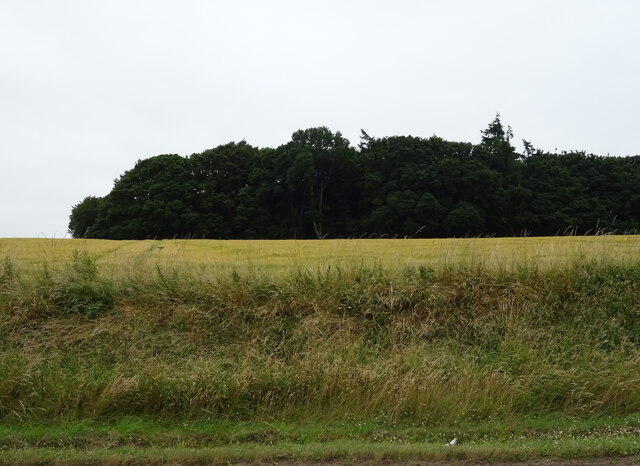
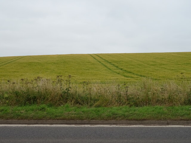
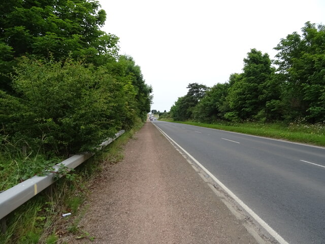
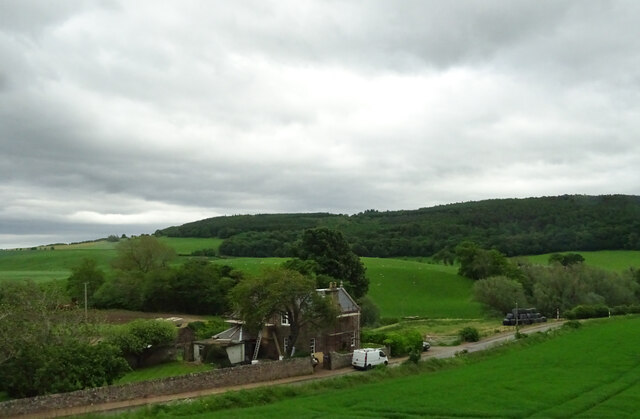
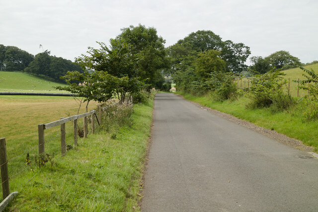
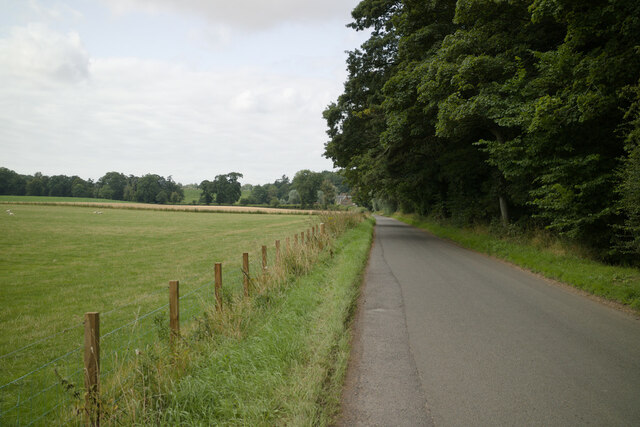
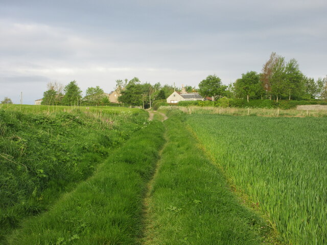
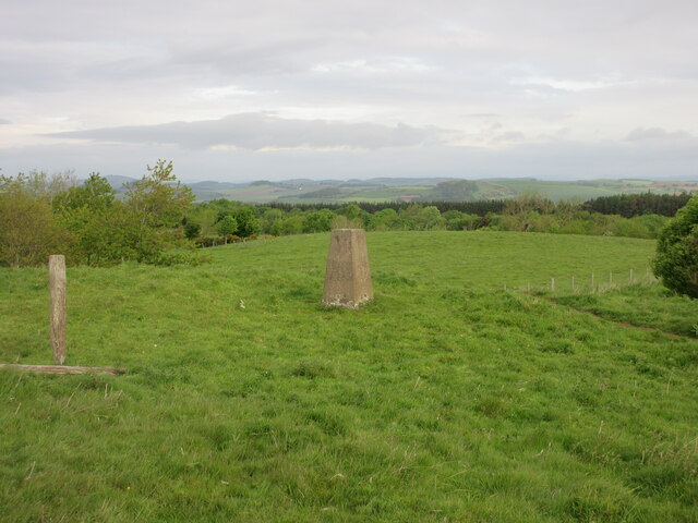
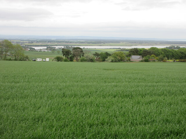
Millstone Wood is a picturesque forest located in Fife, Scotland. Covering an area of approximately 100 acres, it is situated in a rural setting, surrounded by rolling hills and a tranquil atmosphere. The wood is named after the abundance of millstones found in the area, which were used in the milling industry during the 18th and 19th centuries.
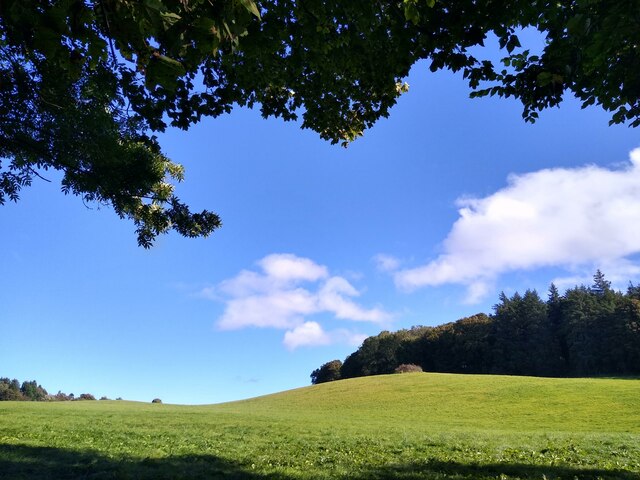
The woodland is predominantly composed of native trees such as oak, birch, and Scots pine, creating a diverse and vibrant ecosystem. The forest floor is covered in a thick carpet of moss and ferns, adding to the enchanting atmosphere of the wood. Millstone Wood is also home to a variety of wildlife, including deer, squirrels, and a wide range of bird species.
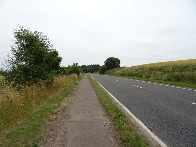
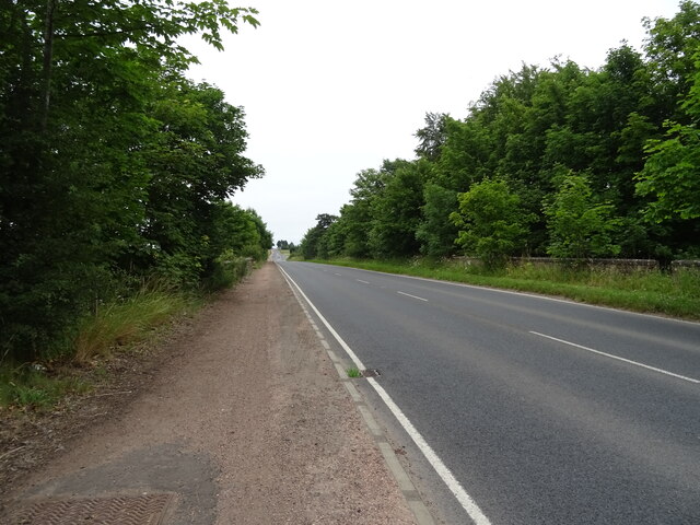
The wood offers a range of walking trails and paths, allowing visitors to explore its natural beauty at their own pace. These trails cater to different fitness levels, ensuring that everyone can enjoy the experience. There are also picnic areas scattered throughout the wood, providing a perfect spot for visitors to relax and enjoy a meal amidst the tranquility of nature.
Millstone Wood is a popular destination for nature enthusiasts and families seeking a peaceful escape from the hustle and bustle of everyday life. With its scenic beauty, diverse flora and fauna, and well-maintained trails, it offers an ideal setting for walking, birdwatching, and immersing oneself in the wonders of nature.
If you have any feedback on the listing, please let us know in the comments section below.
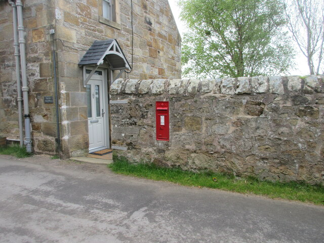
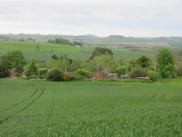
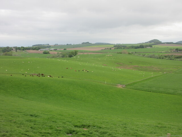
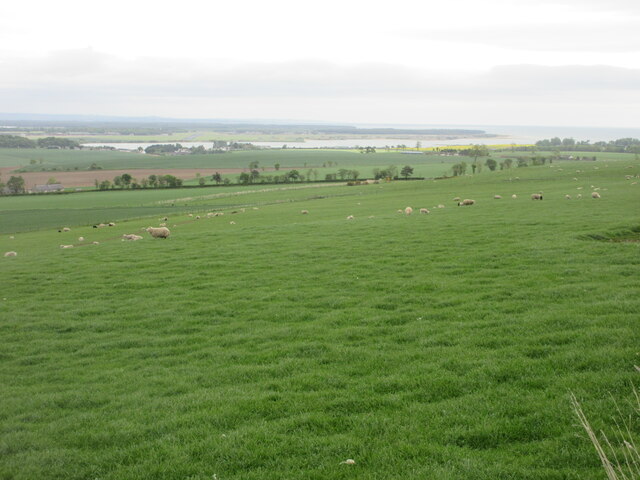
Millstone Wood Images
Images are sourced within 2km of 56.336025/-2.9150072 or Grid Reference NO4316. Thanks to Geograph Open Source API. All images are credited.

Millstone Wood is located at Grid Ref: NO4316 (Lat: 56.336025, Lng: -2.9150072)
Unitary Authority: Fife
Police Authority: Fife
What 3 Words
///cried.viewer.kebabs. Near Balmullo, Fife
Nearby Locations
Related Wikis

Blebo Craigs
Blebo Craigs, or Blebocraigs is a village in rural Fife, Scotland. The village contains around one hundred houses on the south-facing slope of the hill...
Dairsie railway station
Dairsie railway station served the village of Dairsie, Fife, Scotland from 1848 to 1954 on the Edinburgh and Northern Railway. == History == The station...

Dairsie Bridge
Dairsie Bridge is a 16th-century stone bridge, located 1.2 kilometres (0.75 mi) south of Dairsie, in north-east Fife, Scotland. It carries a minor road...

Dairsie Old Church
Dairsie Old Church, formerly St Mary's Church, is the former parish church of Dairsie, in north-east Fife, Scotland. It is located around 1.2 kilometres...

Dairsie Castle
Dairsie Castle is a restored tower house located 1.3 kilometres (0.81 mi) south of Dairsie in north-east Fife, Scotland. The castle overlooks the River...

Kemback
Kemback (Scottish Gaelic: Ceann Bac) is a village and parish in Fife, Scotland, located 2.5 miles (4.0 km) east of Cupar. The present village was developed...
Dairsie Hoard
The Dairsie Hoard is a hoard of late 3rd century Roman hacksilver that was found near Dairsie, Fife, Scotland in 2014 by a teenage boy, David Hall, at...
Strathkinness
Strathkinness is a small village located 3 miles to the west of St Andrews in North East Fife. A key characteristic of the village is the newly developed...
Nearby Amenities
Located within 500m of 56.336025,-2.9150072Have you been to Millstone Wood?
Leave your review of Millstone Wood below (or comments, questions and feedback).