Knock Hill
Hill, Mountain in Fife
Scotland
Knock Hill
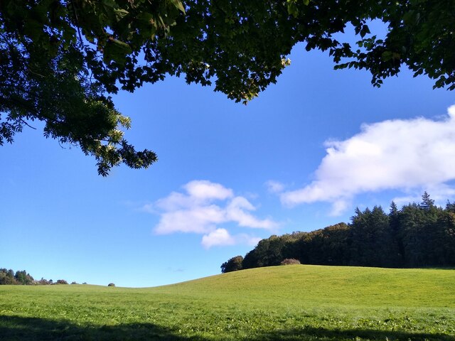
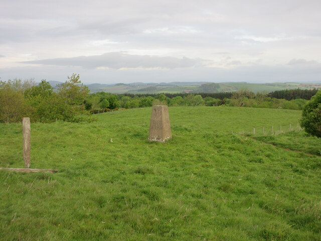
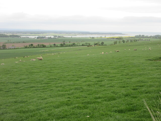
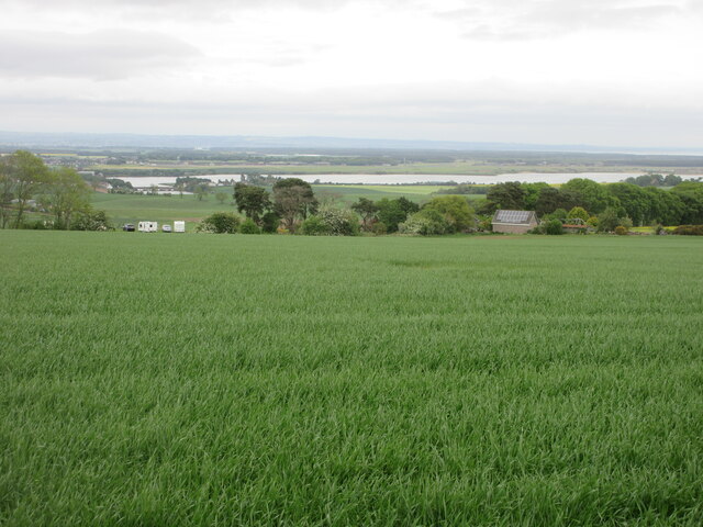
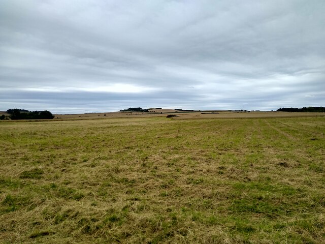
Knock Hill is a prominent hill located in Fife, Scotland. Rising to an elevation of 305 meters (1,001 feet), it is a popular destination for outdoor enthusiasts, offering stunning panoramic views of the surrounding countryside.
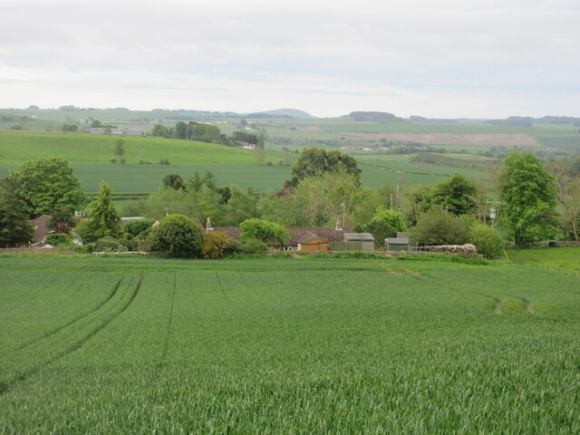
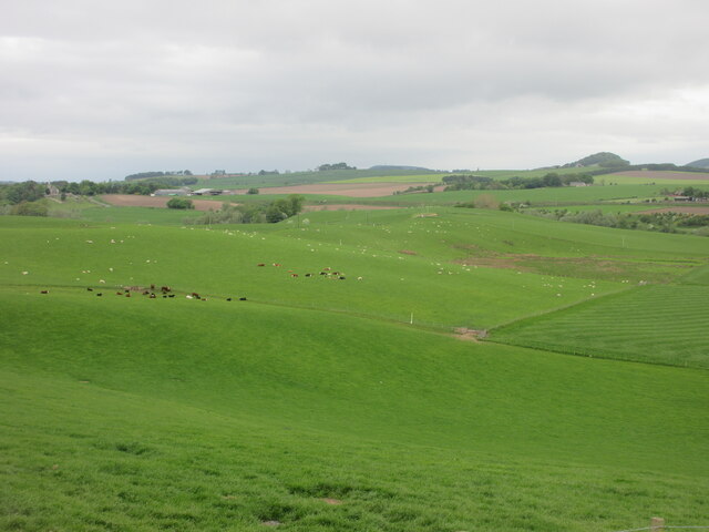
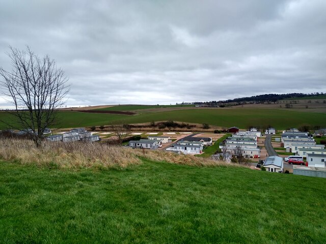
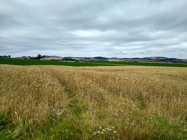
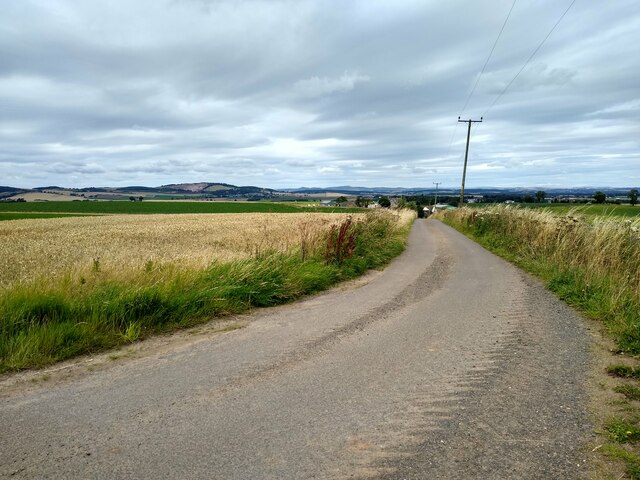
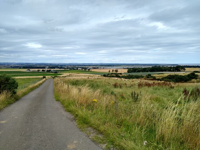
Situated near the village of Saline, Knock Hill is easily accessible and attracts visitors from both nearby towns and further afield. The hill is renowned for its challenging hiking trails, making it a favorite spot for walkers and nature lovers. The paths are well-maintained, allowing visitors to explore the diverse flora and fauna that inhabit the area.
At the summit of Knock Hill, there is a monument called the Knockhill Tower. Built in 1935, the tower provides a perfect vantage point to appreciate the breathtaking views of the Fife landscape, including the Forth Bridges, the Ochil Hills, and the Lomond Hills. On a clear day, it is even possible to catch a glimpse of the Edinburgh skyline.
Knock Hill is also famous for its motorsport circuit, which is located on the southern slopes of the hill. The track hosts various racing events and track days throughout the year, attracting motorsport enthusiasts from across the country. The circuit features a challenging layout with multiple configurations, making it a favorite among both professional racers and amateurs.
Overall, Knock Hill offers a diverse range of activities and attractions for visitors of all interests. Whether you are seeking outdoor adventures, stunning views, or an adrenaline-fueled racing experience, Knock Hill has something for everyone.
If you have any feedback on the listing, please let us know in the comments section below.
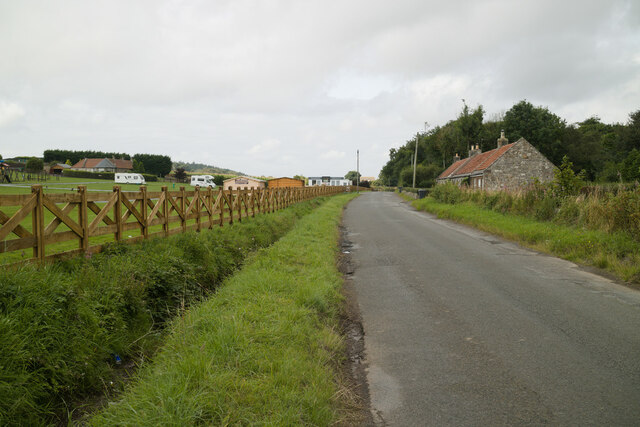
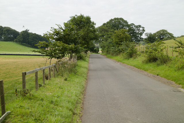
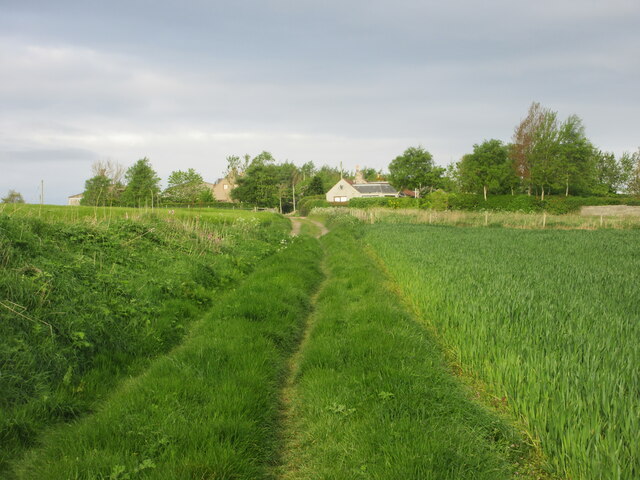
Knock Hill Images
Images are sourced within 2km of 56.33538/-2.9097674 or Grid Reference NO4316. Thanks to Geograph Open Source API. All images are credited.


Knock Hill is located at Grid Ref: NO4316 (Lat: 56.33538, Lng: -2.9097674)
Unitary Authority: Fife
Police Authority: Fife
What 3 Words
///spines.jeering.hypocrite. Near Balmullo, Fife
Nearby Locations
Related Wikis

Blebo Craigs
Blebo Craigs, or Blebocraigs is a village in rural Fife, Scotland. The village contains around one hundred houses on the south-facing slope of the hill...
Strathkinness
Strathkinness is a small village located 3 miles to the west of St Andrews in North East Fife. A key characteristic of the village is the newly developed...
Dairsie railway station
Dairsie railway station served the village of Dairsie, Fife, Scotland from 1848 to 1954 on the Edinburgh and Northern Railway. == History == The station...

Dairsie Bridge
Dairsie Bridge is a 16th-century stone bridge, located 1.2 kilometres (0.75 mi) south of Dairsie, in north-east Fife, Scotland. It carries a minor road...

Kemback
Kemback (Scottish Gaelic: Ceann Bac) is a village and parish in Fife, Scotland, located 2.5 miles (4.0 km) east of Cupar. The present village was developed...

Dairsie Old Church
Dairsie Old Church, formerly St Mary's Church, is the former parish church of Dairsie, in north-east Fife, Scotland. It is located around 1.2 kilometres...

Dairsie Castle
Dairsie Castle is a restored tower house located 1.3 kilometres (0.81 mi) south of Dairsie in north-east Fife, Scotland. The castle overlooks the River...
Dairsie Hoard
The Dairsie Hoard is a hoard of late 3rd century Roman hacksilver that was found near Dairsie, Fife, Scotland in 2014 by a teenage boy, David Hall, at...
Nearby Amenities
Located within 500m of 56.33538,-2.9097674Have you been to Knock Hill?
Leave your review of Knock Hill below (or comments, questions and feedback).