Hareheadhill Strip
Wood, Forest in Selkirkshire
Scotland
Hareheadhill Strip
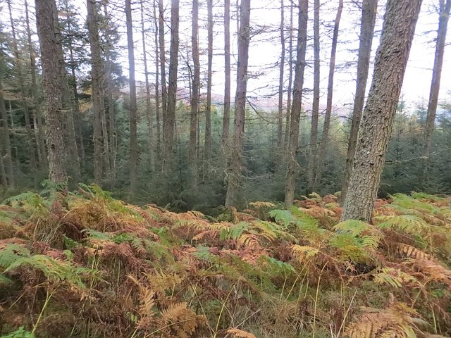
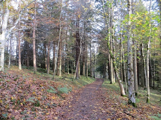
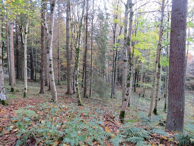
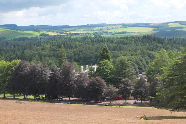
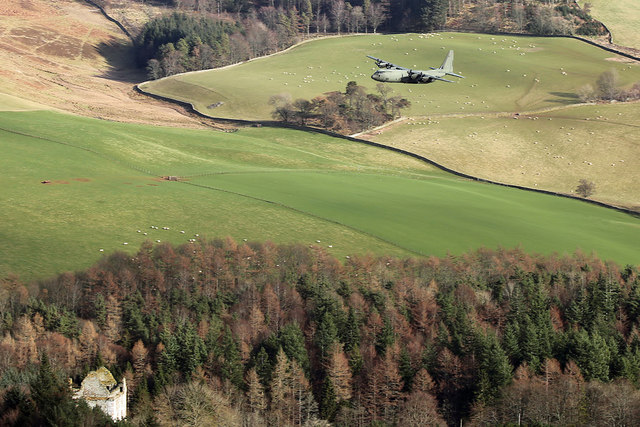
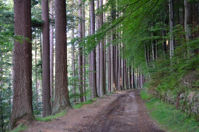
Hareheadhill Strip is a stunning wood located in Selkirkshire, a historic county in the Scottish Borders region of Scotland. Spanning over a vast area, this forested area is renowned for its natural beauty and diverse wildlife.
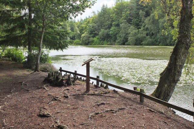
The wood is primarily composed of broadleaf trees, such as oak, beech, and birch, which create a dense and enchanting canopy. These trees provide a habitat for a variety of woodland creatures, including red squirrels, badgers, and an array of bird species.
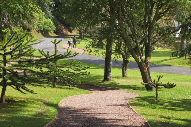
Visitors to Hareheadhill Strip can explore the wood through a network of well-maintained trails, which offer breathtaking views of the surrounding landscape. The paths wind through the forest, allowing visitors to immerse themselves in the peaceful and serene atmosphere.
In addition to its natural splendor, Hareheadhill Strip also holds historical significance. The wood was once part of the expansive Ettrick Forest, a royal hunting ground during medieval times. Today, remnants of this rich history can still be found within the wood, including ancient ruins and archaeological sites.
The wood is managed by a local conservation organization, which ensures the preservation of its unique ecosystem. As a result, Hareheadhill Strip serves as an important site for education and research, attracting scientists and nature enthusiasts from near and far.
Hareheadhill Strip in Selkirkshire is a true gem, offering a tranquil escape into nature for all who visit. Its stunning woodlands, diverse wildlife, and historical significance make it a must-see destination for anyone seeking to experience the beauty of the Scottish countryside.
If you have any feedback on the listing, please let us know in the comments section below.
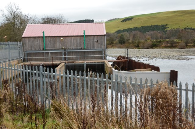
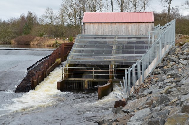
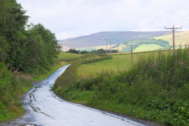
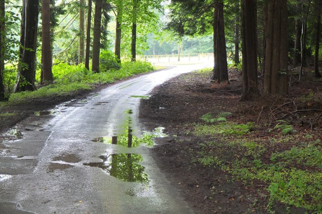
Hareheadhill Strip Images
Images are sourced within 2km of 55.550356/-2.8973286 or Grid Reference NT4328. Thanks to Geograph Open Source API. All images are credited.
Hareheadhill Strip is located at Grid Ref: NT4328 (Lat: 55.550356, Lng: -2.8973286)
Unitary Authority: The Scottish Borders
Police Authority: The Lothians and Scottish Borders
What 3 Words
///picturing.business.sensible. Near Selkirk, Scottish Borders
Nearby Locations
Related Wikis

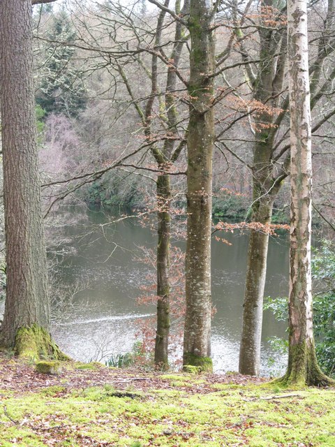
Yarrow Water
The Yarrow Water is a river in the Borders in the south east of Scotland. It is a tributary of the Ettrick Water (itself a tributary of the Tweed) and...

Battle of Philiphaugh
The Battle of Philiphaugh was fought on 13 September 1645 during the Wars of the Three Kingdoms near Selkirk in the Scottish Borders. The Royalist army...

Philiphaugh
Philiphaugh is a village by the Yarrow Water, on the outskirts of Selkirk, in the Scottish Borders. Places nearby include Bowhill, Broadmeadows, the Ettrick...

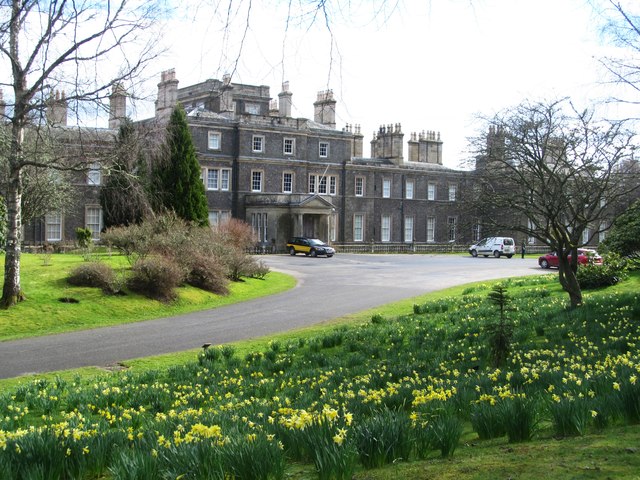
Bowhill House
Bowhill House is a historic house near Bowhill at Selkirk in the Scottish Borders area of Scotland. It is a member of the Historic Houses Association,...

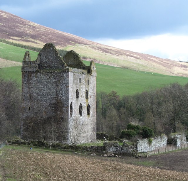
Newark Castle, Selkirkshire
Newark Tower is a large, ruined tower house standing in the grounds of Bowhill House, in the valley of the Yarrow Water three miles west of Selkirk in...
Bowhill, Scottish Borders
Bowhill is a village off the A708, in the Scottish Borders area of Scotland, near Selkirk, by the Yarrow Water Other places nearby include Bowhill House...

Carterhaugh
Carterhaugh is a wood and farm near the confluence of the Yarrow Water and the Ettrick Water near Selkirk in the Scottish Borders. This real location...
Philiphaugh Stadium
Philiphaugh is a rugby union ground in the Royal Burgh of Selkirk, Scotland with a capacity of approximately 6,000. It is the home of Selkirk Rugby Football...
Nearby Amenities
Located within 500m of 55.550356,-2.8973286Have you been to Hareheadhill Strip?
Leave your review of Hareheadhill Strip below (or comments, questions and feedback).