Tibby Tamson's Plantation
Wood, Forest in Selkirkshire
Scotland
Tibby Tamson's Plantation
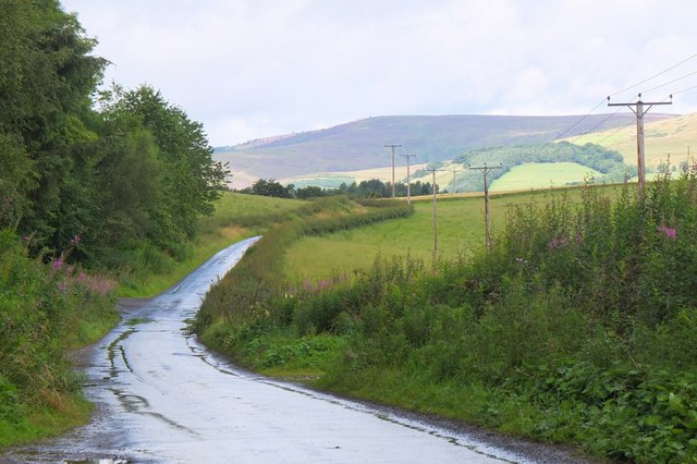
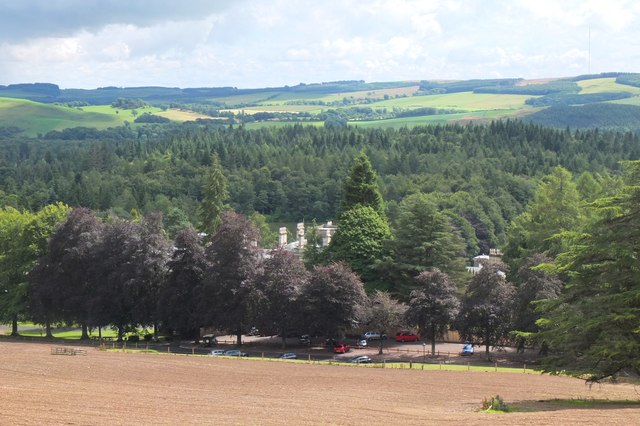
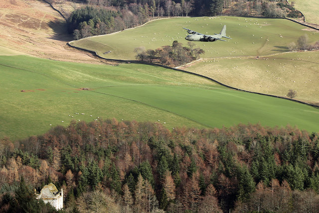
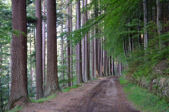
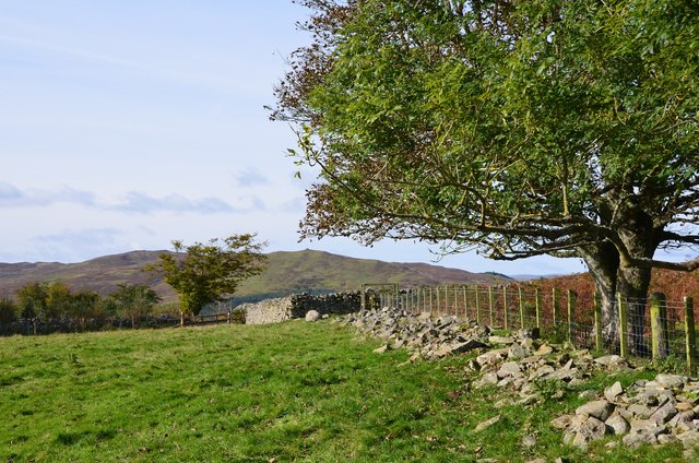
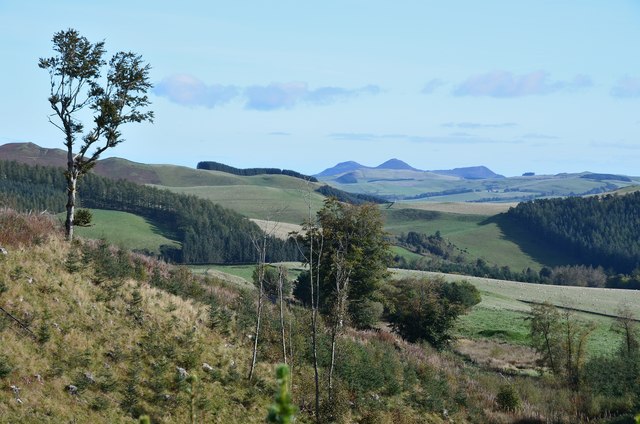
Tibby Tamson's Plantation is a charming woodland located in the picturesque region of Selkirkshire, Scotland. Nestled amidst the rolling hills and scenic landscapes, this plantation is a haven for nature enthusiasts and those seeking tranquility amid the lush greenery.
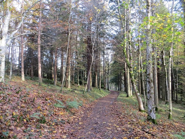
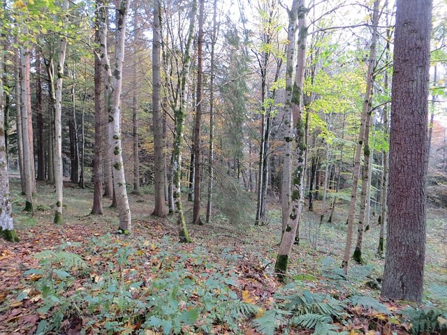
Covering an area of approximately 100 acres, Tibby Tamson's Plantation is predominantly made up of dense forests filled with a diverse range of tree species. The plantation is known for its majestic stands of native Scottish trees, including oak, birch, and pine, which provide a rich and vibrant habitat for various flora and fauna.
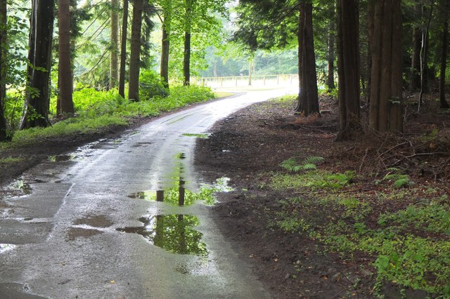
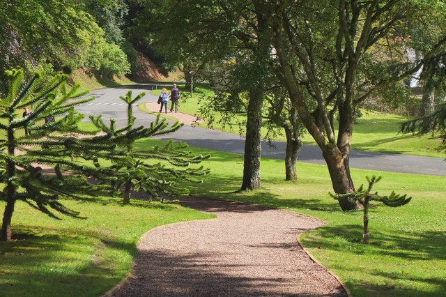
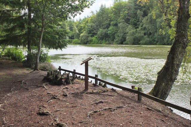
The woodland is crisscrossed by a network of well-maintained trails, allowing visitors to explore the plantation at their own pace. These paths wind through the enchanting forest, leading to hidden glens, sparkling streams, and breathtaking viewpoints that offer panoramic vistas of the surrounding countryside.
Tibby Tamson's Plantation is not only a treat for the eyes but also a haven for wildlife. The diverse habitat supports a myriad of species, including red squirrels, roe deer, and a wide variety of birdlife. Birdwatchers will be delighted by the opportunity to catch a glimpse of elusive species such as the Scottish crossbill and the pine marten.
Whether one seeks solace in the peaceful surroundings, wishes to indulge in outdoor activities like hiking or birdwatching, or simply wants to immerse themselves in the beauty of nature, Tibby Tamson's Plantation is a sanctuary that offers something for everyone.
If you have any feedback on the listing, please let us know in the comments section below.
Tibby Tamson's Plantation Images
Images are sourced within 2km of 55.554194/-2.8983514 or Grid Reference NT4329. Thanks to Geograph Open Source API. All images are credited.


Tibby Tamson's Plantation is located at Grid Ref: NT4329 (Lat: 55.554194, Lng: -2.8983514)
Unitary Authority: The Scottish Borders
Police Authority: The Lothians and Scottish Borders
What 3 Words
///influence.boating.worm. Near Selkirk, Scottish Borders
Nearby Locations
Related Wikis

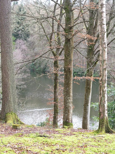
Yarrow Water
The Yarrow Water is a river in the Borders in the south east of Scotland. It is a tributary of the Ettrick Water (itself a tributary of the Tweed) and...

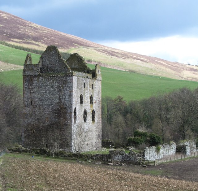
Newark Castle, Selkirkshire
Newark Tower is a large, ruined tower house standing in the grounds of Bowhill House, in the valley of the Yarrow Water three miles west of Selkirk in...

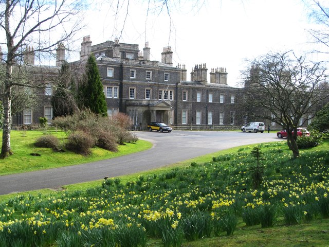
Bowhill House
Bowhill House is a historic house near Bowhill at Selkirk in the Scottish Borders area of Scotland. It is a member of the Historic Houses Association,...

Battle of Philiphaugh
The Battle of Philiphaugh was fought on 13 September 1645 during the Wars of the Three Kingdoms near Selkirk in the Scottish Borders. The Royalist army...

Philiphaugh
Philiphaugh is a village by the Yarrow Water, on the outskirts of Selkirk, in the Scottish Borders. Places nearby include Bowhill, Broadmeadows, the Ettrick...
Bowhill, Scottish Borders
Bowhill is a village off the A708, in the Scottish Borders area of Scotland, near Selkirk, by the Yarrow Water Other places nearby include Bowhill House...
Broadmeadows, Scottish Borders
Broadmeadows is a village in the Scottish Borders area of Scotland, on the A708 near Selkirk. Places nearby include Boleside, Bowhill, Caddonfoot, Ettrickbridge...

Carterhaugh
Carterhaugh is a wood and farm near the confluence of the Yarrow Water and the Ettrick Water near Selkirk in the Scottish Borders. This real location...
Nearby Amenities
Located within 500m of 55.554194,-2.8983514Have you been to Tibby Tamson's Plantation?
Leave your review of Tibby Tamson's Plantation below (or comments, questions and feedback).