Hoppringle Woods

Wood, Forest in Midlothian

Scotland

Hoppringle Woods

Quarry, Fountainhall Now partially fenced.
Quarry, Fountainhall Credit: Richard Webb

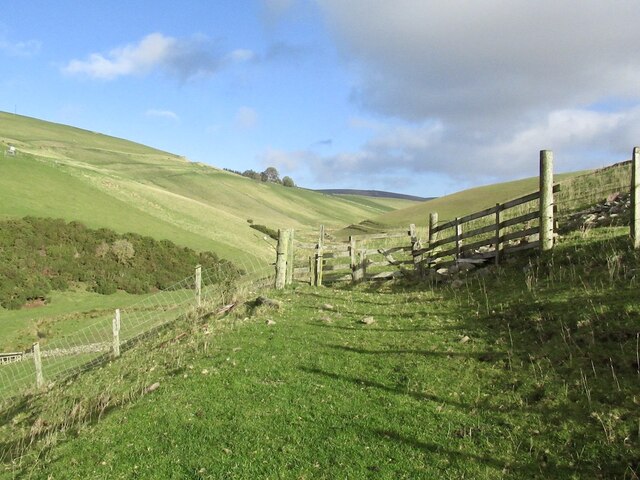
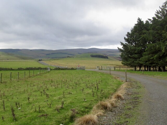
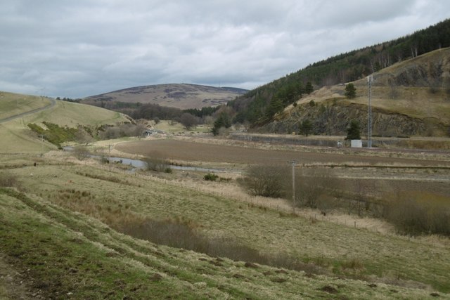
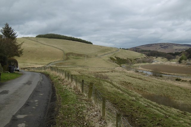
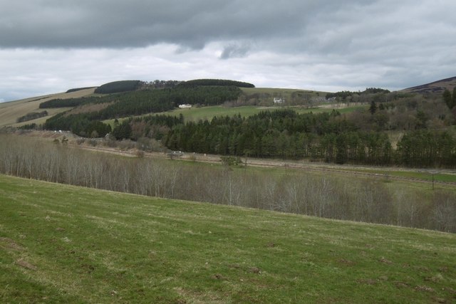
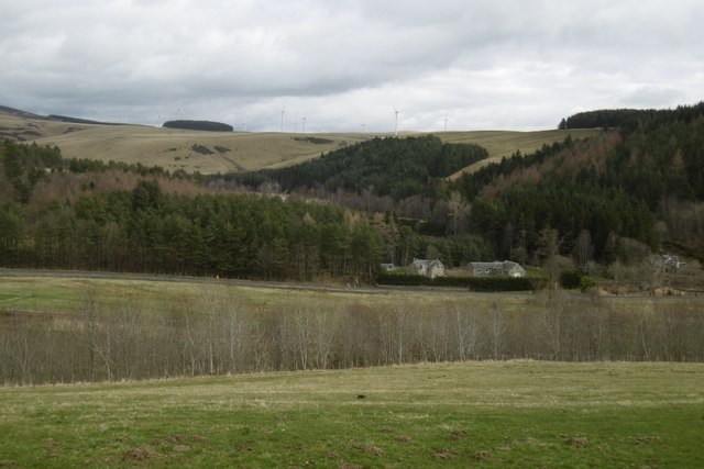
Hoppringle Woods is a picturesque woodland located in Midlothian, Scotland. It is a popular destination for nature lovers, hikers, and photographers due to its serene atmosphere and abundant wildlife. The woods cover an area of approximately 100 acres, making it a significant natural treasure in the region.

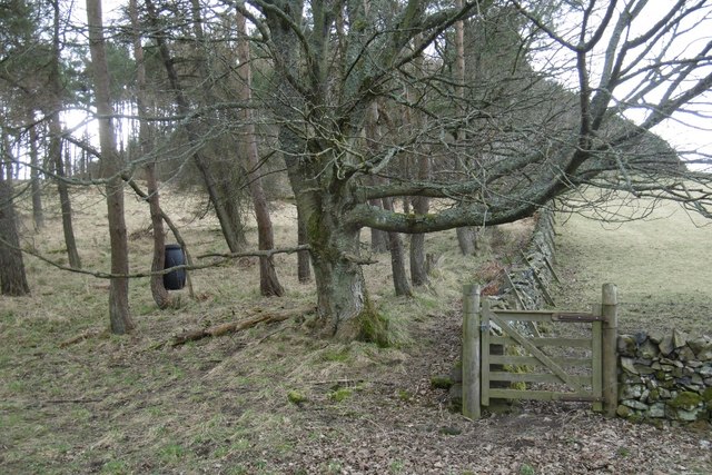
The forest is primarily comprised of native deciduous trees, including oak, birch, and beech, which create a vibrant and colorful canopy during the autumn months. The rich undergrowth consists of ferns, mosses, and wildflowers, adding to the beauty and diversity of the woodland.

Tranquil walking trails wind their way through Hoppringle Woods, providing visitors with the opportunity to explore the area and soak in the tranquility of the surroundings. These paths are well-maintained and suitable for all levels of fitness, making it an ideal location for families and individuals alike.

One of the notable features of Hoppringle Woods is the presence of various wildlife species. Birdwatchers will be delighted to spot a variety of woodland birds, including woodpeckers, owls, and thrushes. Additionally, small mammals such as squirrels and rabbits can be spotted scurrying amongst the trees, adding to the charm of the woodland experience.

Furthermore, Hoppringle Woods is home to a diverse range of flora and fauna, including rare and protected species. Conservation efforts are in place to preserve the natural beauty and biodiversity of the area, making it an important ecological site within Midlothian.

Overall, Hoppringle Woods offers visitors a peaceful retreat into nature, where they can immerse themselves in the beauty of the woodlands and appreciate the abundant wildlife that thrives within it.

If you have any feedback on the listing, please let us know in the comments section below.

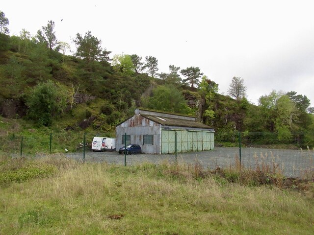
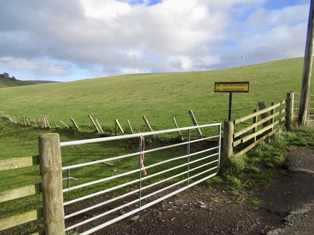
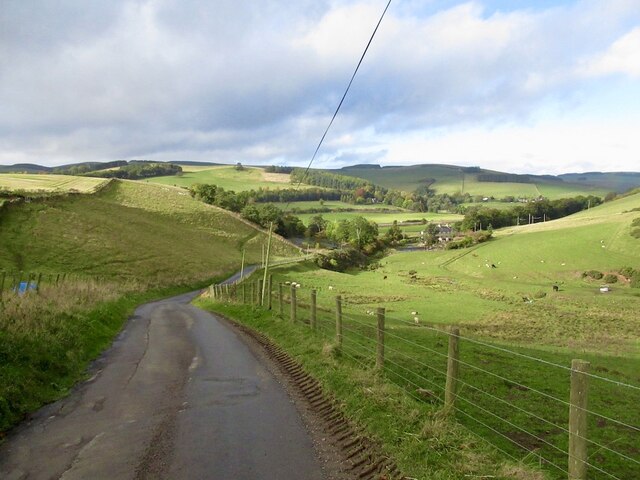
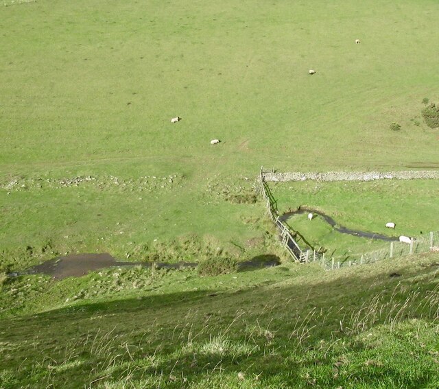
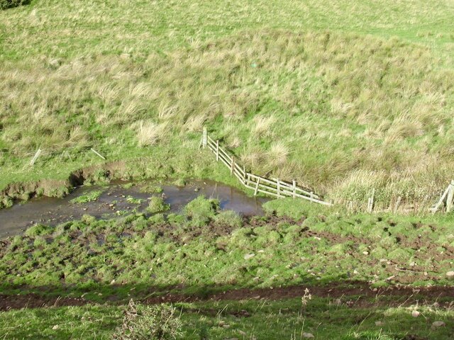
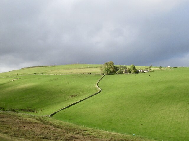
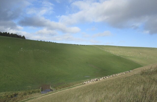
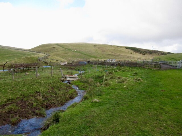
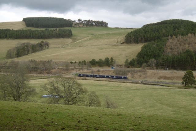
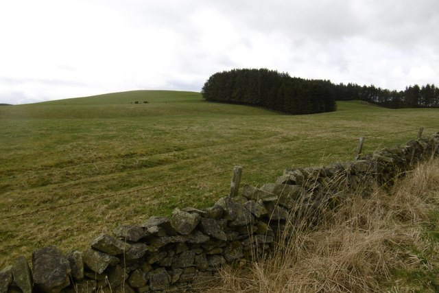
Hoppringle Woods Images

Images are sourced within 2km of 55.750021/-2.9112754 or Grid Reference NT4251. Thanks to Geograph Open Source API. All images are credited.

Quarry, Fountainhall Now partially fenced.
Quarry, Fountainhall
Now partially fenced.
Track end, Cortleferry Signposted for Resting House, but now has two electric fences in the way. They can be crossed, but confidence and cunning may be required. It's a lovely grassy track.
Track end, Cortleferry
Signposted for Resting House, but now has two electric fences in the way. They can be crossed, but confidence and cunning may be required. It's a lovely grassy track.
Road from Cortleferry
Toddle Burn
Toddle Burn
Toddle Burn Drinking spot for cattle.
Toddle Burn
Drinking spot for cattle.
Hoppringle The hill beyond used to have a conifer plantation forming the skyline.
Hoppringle
The hill beyond used to have a conifer plantation forming the skyline.
Driving sheep I was worried that I would be causing a problem here, but was simply asked to walk up the hill for a short distance.
Driving sheep
I was worried that I would be causing a problem here, but was simply asked to walk up the hill for a short distance.
Toddle Burn and sheep pens Wind farm on the skyline.
Toddle Burn and sheep pens
Wind farm on the skyline.
Old gate and electric fence An awkward obstacle on a road that is obviously no longer used.
Old gate and electric fence
An awkward obstacle on a road that is obviously no longer used.
Windfarm access road, Hopringle
Gala Water A transport corridor with the A7 and again, the railway.
Gala Water
A transport corridor with the A7 and again, the railway.
Hazelbank Quarry The quarry has reopened.
Hazelbank Quarry
The quarry has reopened.
Yellow road, passing Brockhouse Looking upstream along the Gala Water.
Yellow road, passing Brockhouse
Looking upstream along the Gala Water.
View of Crookston Looking over the Gala Water from the single track road on the west side of the river.
View of Crookston
Looking over the Gala Water from the single track road on the west side of the river.
Crookston Across the Gala Water.
Crookston
Across the Gala Water.
Stripwood, White Hill A strip on the west side of the Gala Water.
Stripwood, White Hill
A strip on the west side of the Gala Water.
Borders Railway, Halltree An Edinburgh bound train passes a road junction on the A7.
Borders Railway, Halltree
An Edinburgh bound train passes a road junction on the A7.
Hillside above Halltree
Show me another place!

Hoppringle Woods is located at Grid Ref: NT4251 (Lat: 55.750021, Lng: -2.9112754)

Unitary Authority: The Scottish Borders

Police Authority: The Lothians and Scottish Borders

What 3 Words

///freedom.month.coasters. Near Lauder, Scottish Borders

Related Wikis

Fountainhall railway station

Fountainhall railway station served the village of Fountainhall, Scottish Borders from 1848 to 1969 on the Waverley Route. == History == The station opened...

Halltree

Halltree is a hamlet in the Scottish Borders. == Etymology == The etymology of Halltree is debated, but the second element is likely to be a Cumbric word...

Allanshaugh

Allanshaugh is a fermtoun in the Scottish Borders area of Scotland. == See also == List of places in the Scottish Borders List of places in Scotland...

Heriot, Scottish Borders

Heriot is a small village in the Moorfoot Hills southeast of Edinburgh, Scotland, within Eildon (part of the Scottish Borders council area, though historically...

Nearby Amenities

Located within 500m of 55.750021,-2.9112754
Hoppringle Hill
Natural: peak
Lat/Long: 55.7480381/-2.9108285
Noexit: yes
Lat/Long: 55.7540853/-2.9126402
Power: pole
Lat/Long: 55.7462453/-2.9117197
Power: pole
Lat/Long: 55.7469501/-2.9111292
Power: pole
Lat/Long: 55.7474916/-2.9099279
Power: pole
Lat/Long: 55.7480288/-2.9086605
Power: pole
Lat/Long: 55.7485459/-2.9074719
Power: pole
Lat/Long: 55.7490286/-2.9063419
Power: pole
Lat/Long: 55.7495944/-2.9050541
Power: pole
Lat/Long: 55.7498479/-2.9192175
Power: pole
Lat/Long: 55.7501215/-2.9188663
Material: wood
Power: pole
Lat/Long: 55.7510626/-2.9186881
Barrier: cattle_grid
Lat/Long: 55.7506322/-2.9058336
Cairn / Cemetery (Bronze Age) (possible)
Archaeological Site: cairn_/_cemetery
Archeology: Cairn / Cemetery (Bronze Age) (possible) : https://canmore.org.uk/site/354168
Historic: archaeological_site
Historic Civilization: bronze-age
Inscription: More information available here : https://canmore.org.uk/site/354168
Lat/Long: 55.751801/-2.9063652
Hoppringle Castle (private) (Medieval, remains of)
Access: private
Archaeological Site: ruins
Archeology: Hoppringle Castle (private) (Medieval, remains of) : https://canmore.org.uk/site/54635
Historic: archaeological_site
Historic Civilization: medieval
Inscription: More information available here : https://canmore.org.uk/site/54635
Lat/Long: 55.7500537/-2.9047531
The data included in this document is from www.openstreetmap.org. The data is made available under ODbL.

Have you been to Hoppringle Woods?

Leave your review of Hoppringle Woods below (or comments, questions and feedback).