Plover Plantation

Wood, Forest in Roxburghshire

Scotland

Plover Plantation

Branxholme Easter Loch A bull beside the water. The rest of the herd were nearby on rough grazing.
Branxholme Easter Loch Credit: Richard Webb

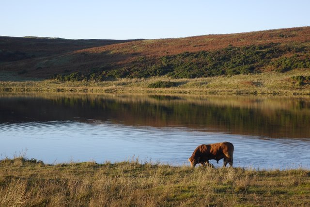
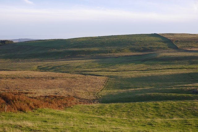
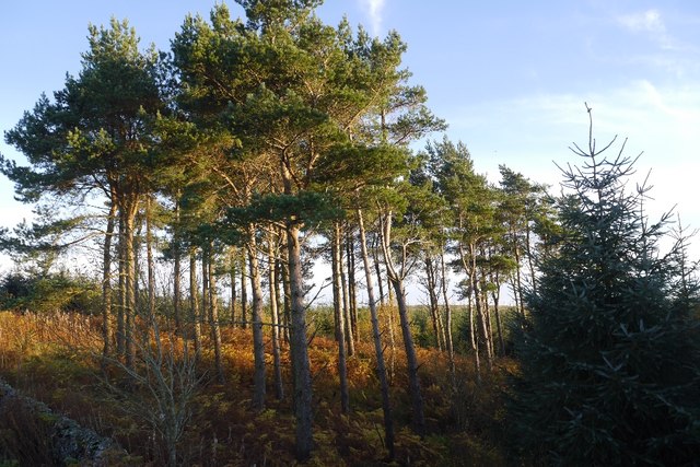
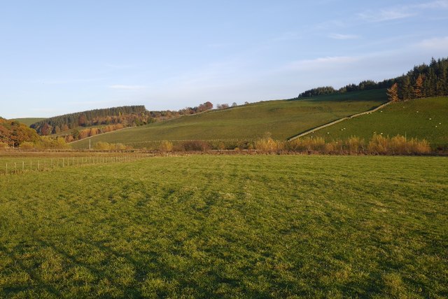
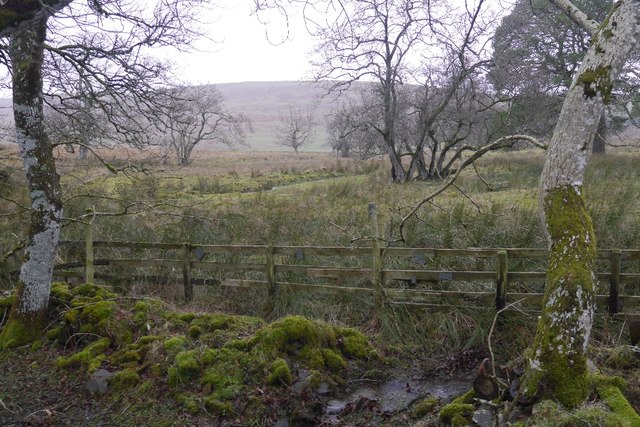
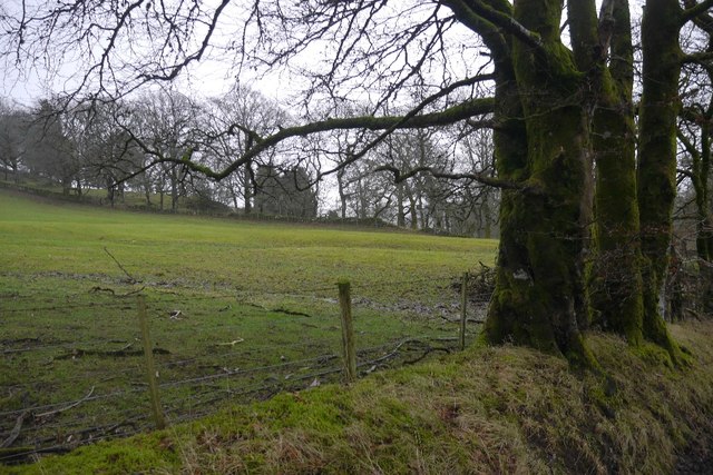
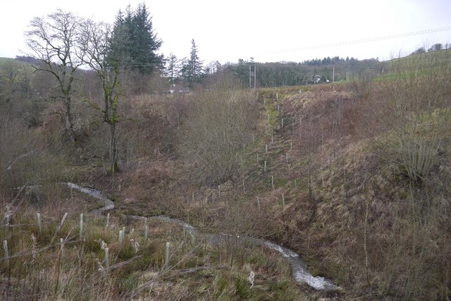
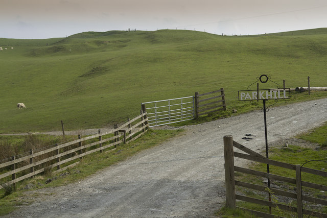
Plover Plantation, located in Roxburghshire, Scotland, is a picturesque woodland area known for its diverse range of trees and serene atmosphere. Situated in the beautiful Scottish Borders region, the plantation spans over a vast area, offering visitors a unique opportunity to immerse themselves in the natural beauty of the area.

The plantation boasts an array of different tree species, including oak, beech, pine, and birch, creating a harmonious blend of colors throughout the year. These trees provide a habitat for a variety of wildlife, making it a haven for nature lovers and bird watchers alike.

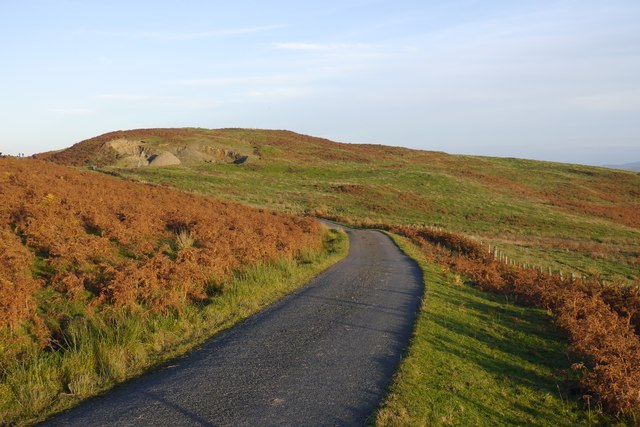
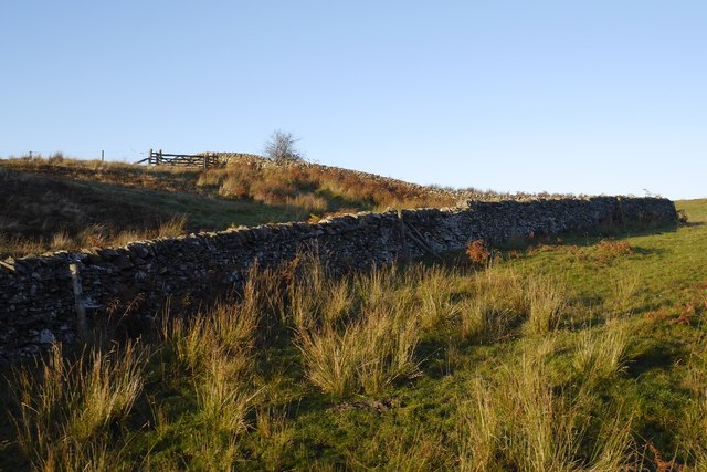
Plover Plantation offers several walking trails, allowing visitors to explore the woodland at their own pace. The well-maintained paths wind through the forest, leading to picturesque viewpoints, tranquil streams, and hidden clearings. Along the way, visitors may encounter a range of wildlife, such as red squirrels, deer, and a wide variety of bird species.

The plantation also offers several picnic areas, providing an ideal spot for visitors to relax and enjoy the surroundings. Additionally, there are designated camping areas for those who wish to spend more time immersed in the natural beauty of the plantation.

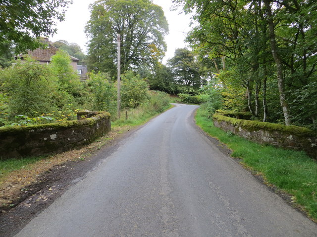
Plover Plantation is easily accessible, with ample parking facilities available for visitors. The plantation is open year-round, allowing visitors to experience the changing seasons and the unique charm each one brings.

Overall, Plover Plantation in Roxburghshire offers a tranquil retreat in a stunning woodland setting, providing an opportunity to connect with nature and enjoy the peaceful ambiance of the Scottish Borders.

If you have any feedback on the listing, please let us know in the comments section below.

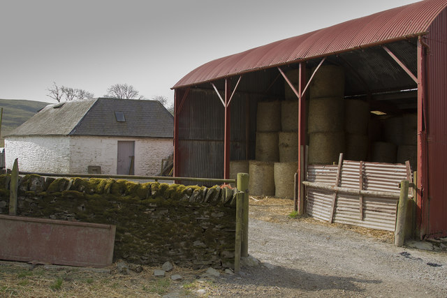
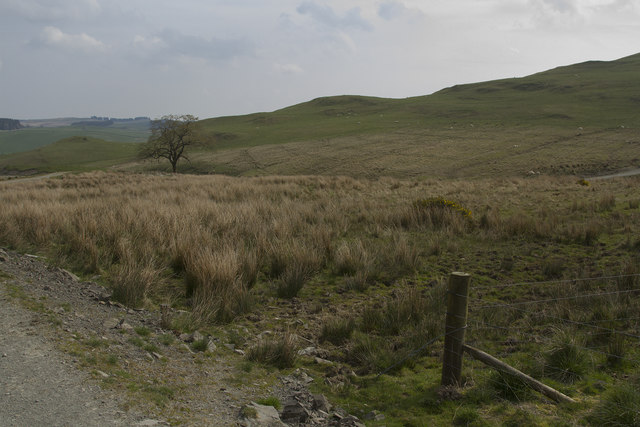
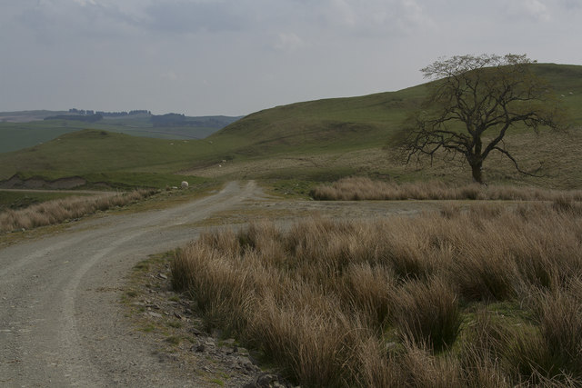
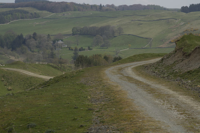
Plover Plantation Images

Images are sourced within 2km of 55.4052/-2.9044902 or Grid Reference NT4212. Thanks to Geograph Open Source API. All images are credited.

Branxholme Easter Loch A bull beside the water. The rest of the herd were nearby on rough grazing.
Branxholme Easter Loch
A bull beside the water. The rest of the herd were nearby on rough grazing.
Cold Fell A narrow gated road on the moor at Branxholme.
Cold Fell
A narrow gated road on the moor at Branxholme.
Fields, Branxholme Improved grazing and moorland above Teviotdale.
Fields, Branxholme
Improved grazing and moorland above Teviotdale.
Dykes, Chapel Hill Hill farming upstream of Hawick.
Dykes, Chapel Hill
Hill farming upstream of Hawick.
Branxholme Wester Loch Plantation A clump of mature trees surrounded by younger stock.
Branxholme Wester Loch Plantation
A clump of mature trees surrounded by younger stock.
Haugh below Milsingden Flat grassland beside the Borthwick Water.
Haugh below Milsingden
Flat grassland beside the Borthwick Water.
Ordnance Survey Flush Bracket G490 This can be found on the parapet wall of the road bridge at Howcleuch.
For more detail see : <span class="nowrap"><a title="http://www.bench-marks.org.uk/bm13078" rel="nofollow ugc noopener" href="http://www.bench-marks.org.uk/bm13078">Link</a><img style="margin-left:2px;" alt="External link" title="External link - shift click to open in new window" src="https://s1.geograph.org.uk/img/external.png" width="10" height="10"/></span>
Ordnance Survey Flush Bracket G490
This can be found on the parapet wall of the road bridge at Howcleuch. For more detail see : LinkExternal link
Road (B711) and Bridge at Howcleuchshiel Looking eastward.
Road (B711) and Bridge at Howcleuchshiel
Looking eastward.
Wet woodland, Roberton Scattered trees in marshy ground beside the road to Ashkirk.
Wet woodland, Roberton
Scattered trees in marshy ground beside the road to Ashkirk.
Field, Howcleuchshiel
Glen Burn, Roberton
Glen Burn, Roberton
The Woodburn This small stream, a burn in Scotland, passes right by our holiday cottage. There are Grey Wagtail and many other birds feeding and drinking by the banks of the burn.
The Woodburn
This small stream, a burn in Scotland, passes right by our holiday cottage. There are Grey Wagtail and many other birds feeding and drinking by the banks of the burn.
Chisholme hamlet This large house has several yourts in its grounds. It seems to be a place where you can live for a while to find yourself. There are a few other smaller houses in the hamlet.
Chisholme hamlet
This large house has several yourts in its grounds. It seems to be a place where you can live for a while to find yourself. There are a few other smaller houses in the hamlet.
The entrance to Parkhill Farm Parkhill Farm seems to be mainly pastoral, with a large number of sheep and some cattle. The cattle were all close to the farm buildings, whereas the sheep were scattered over several fields on the hillside.
The entrance to Parkhill Farm
Parkhill Farm seems to be mainly pastoral, with a large number of sheep and some cattle. The cattle were all close to the farm buildings, whereas the sheep were scattered over several fields on the hillside.
Parkhill Farm buildings The barn, half full of bales, with other buildings in the background.
Parkhill Farm buildings
The barn, half full of bales, with other buildings in the background.
Moorland and fields of Parkhill farm It is not clear where the land for Parkhill ends but I think this grassland and moorland is part of that far,
Moorland and fields of Parkhill farm
It is not clear where the land for Parkhill ends but I think this grassland and moorland is part of that far,
The track forks The track is part of the Reivers Way and if you go straight ahead you will get to Roberton.
The track forks
The track is part of the Reivers Way and if you go straight ahead you will get to Roberton.
The Reivers Path This path is well maintained. It has a stone surface and is good for walking and is also used by cyclists.
The Reivers Path
This path is well maintained. It has a stone surface and is good for walking and is also used by cyclists.
Show me another place!

Plover Plantation is located at Grid Ref: NT4212 (Lat: 55.4052, Lng: -2.9044902)

Unitary Authority: The Scottish Borders

Police Authority: The Lothians and Scottish Borders

What 3 Words

///positive.just.typed. Near Hawick, Scottish Borders

Related Wikis

Burnfoot, Roberton

Burnfoot (Scottish Gaelic: Bun na h-Aibhne) is a hamlet in the Scottish Borders area of Scotland, close to Roberton, by the Borthwick Water. The nearest...

Roberton, Scottish Borders

Roberton is a small village in the Scottish Borders area of Scotland, on the B711 and near to the A7, 5 miles (8 kilometres) from Hawick, 22 mi (35 km...

Harden Castle

Harden Castle is a 16th century tower house, about 3.5 miles (5.6 km) west of Hawick, Scottish Borders. It is alternatively known as Harden House or Harden...

Newmill-on-Teviot

Newmill-on-Teviot, commonly called Newmill, is a hamlet in the Scottish Borders, 7 kilometres (4.3 mi) south of Hawick on the River Teviot. The remains...

Nearby Amenities

Located within 500m of 55.4052,-2.9044902
Power: pole
Lat/Long: 55.4051444/-2.9123966
Power: pole
Lat/Long: 55.4045523/-2.9114155
Power: pole
Lat/Long: 55.4040449/-2.9105632
Power: pole
Lat/Long: 55.4035683/-2.9097598
The data included in this document is from www.openstreetmap.org. The data is made available under ODbL.

Have you been to Plover Plantation?

Leave your review of Plover Plantation below (or comments, questions and feedback).