Shankend Wood

Wood, Forest in Midlothian

Scotland

Shankend Wood

Quarry, Fountainhall Now partially fenced.
Quarry, Fountainhall Credit: Richard Webb

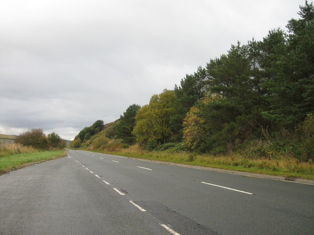
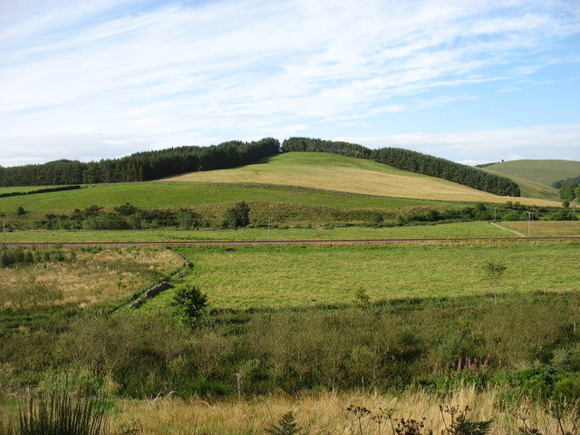
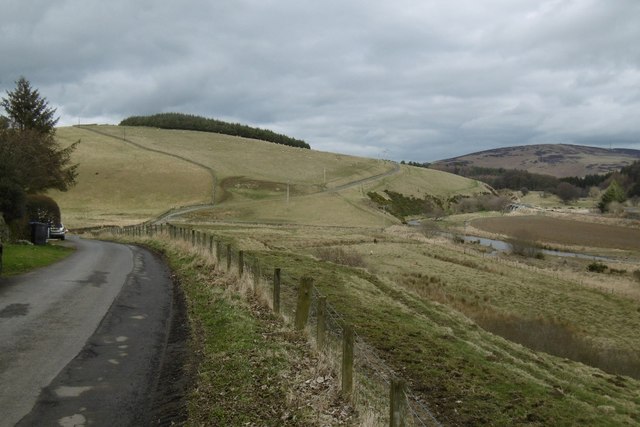
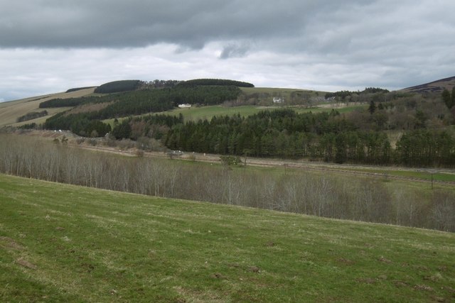
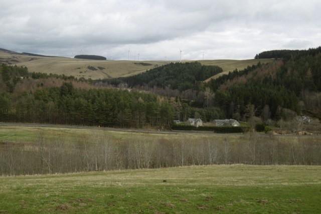
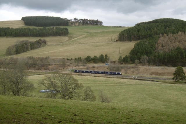
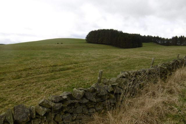
Shankend Wood is a picturesque forest located in the region of Midlothian, Scotland. Covering an area of approximately 200 acres, it is known for its beauty and tranquility. The wood is situated on the outskirts of the village of Heriot and is easily accessible by road.

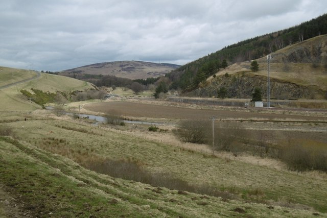
The woodland is primarily composed of native Scottish tree species such as Scots pine, oak, and birch, creating a diverse and vibrant ecosystem. It is home to a rich variety of flora and fauna, including several rare and protected species. Visitors to Shankend Wood can expect to encounter an array of wildlife, including red squirrels, roe deer, and a wide variety of bird species.

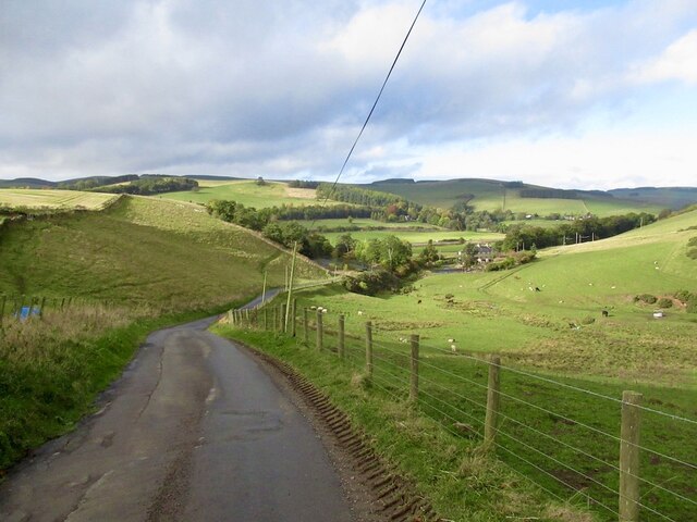
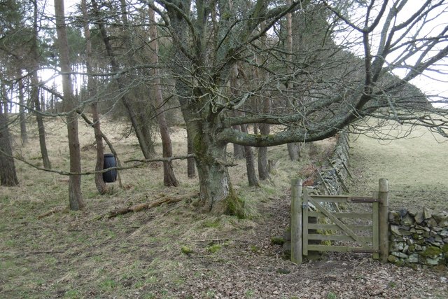
The forest offers a network of well-maintained trails that allow visitors to explore its enchanting landscapes. These paths wind through dense woodland, alongside babbling brooks, and past open clearings, providing a range of scenic views and opportunities for wildlife spotting.

Shankend Wood is a popular destination for outdoor enthusiasts, offering activities such as walking, hiking, and birdwatching. The forest also features picnic areas and designated camping spots for those wishing to spend more time in nature.

The wood holds historical significance as well. It has been part of the local landscape for centuries and has witnessed various human activities over the years, from traditional forestry practices to recreational pursuits.

Overall, Shankend Wood is a captivating natural haven that showcases the beauty of Scotland's woodlands. Its accessibility, diverse flora and fauna, and recreational opportunities make it a beloved destination for both locals and tourists seeking a peaceful and immersive experience in nature.

If you have any feedback on the listing, please let us know in the comments section below.

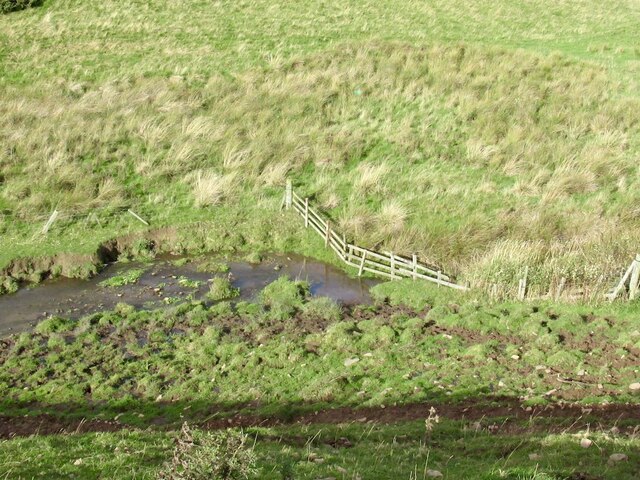
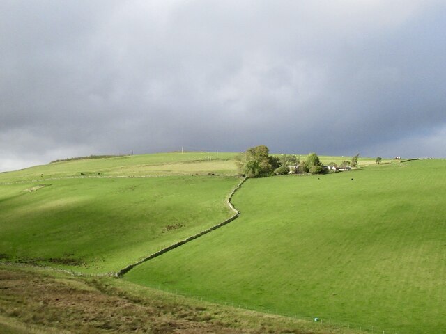
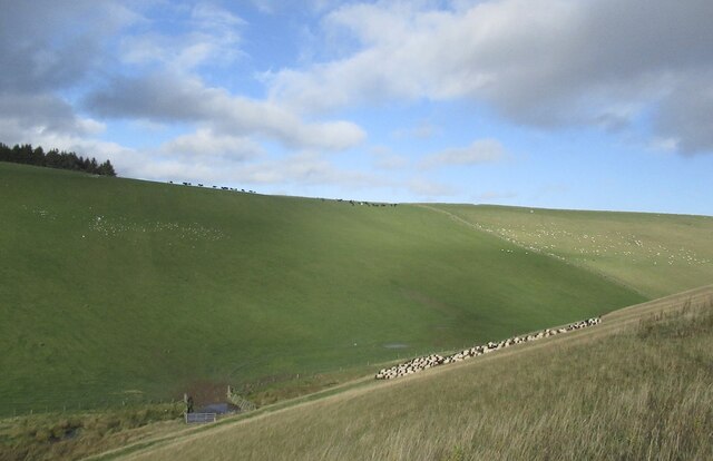
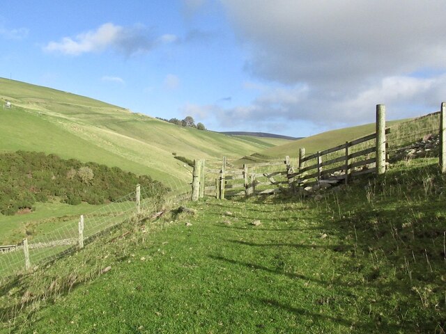
Shankend Wood Images

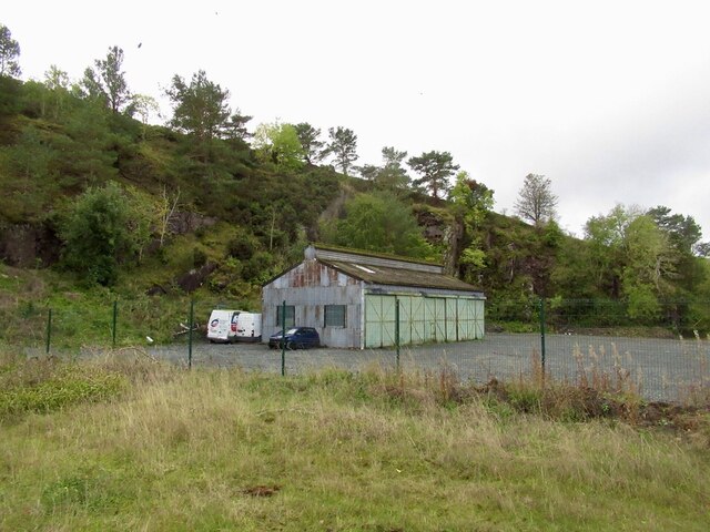
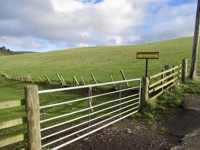
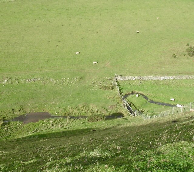
Images are sourced within 2km of 55.753158/-2.9243019 or Grid Reference NT4251. Thanks to Geograph Open Source API. All images are credited.

Quarry, Fountainhall Now partially fenced.
Quarry, Fountainhall
Now partially fenced.
Track end, Cortleferry Signposted for Resting House, but now has two electric fences in the way. They can be crossed, but confidence and cunning may be required. It's a lovely grassy track.
Track end, Cortleferry
Signposted for Resting House, but now has two electric fences in the way. They can be crossed, but confidence and cunning may be required. It's a lovely grassy track.
Road from Cortleferry
Toddle Burn
Toddle Burn
Toddle Burn Drinking spot for cattle.
Toddle Burn
Drinking spot for cattle.
Hoppringle The hill beyond used to have a conifer plantation forming the skyline.
Hoppringle
The hill beyond used to have a conifer plantation forming the skyline.
Driving sheep I was worried that I would be causing a problem here, but was simply asked to walk up the hill for a short distance.
Driving sheep
I was worried that I would be causing a problem here, but was simply asked to walk up the hill for a short distance.
Old gate and electric fence An awkward obstacle on a road that is obviously no longer used.
Old gate and electric fence
An awkward obstacle on a road that is obviously no longer used.
A7 lay-by
A7 lay-by
Chapel Hill The recently reopened Borders Railway crosses the centre of this picture.
Chapel Hill
The recently reopened Borders Railway crosses the centre of this picture.
Gala Water A transport corridor with the A7 and again, the railway.
Gala Water
A transport corridor with the A7 and again, the railway.
Hazelbank Quarry The quarry has reopened.
Hazelbank Quarry
The quarry has reopened.
Yellow road, passing Brockhouse Looking upstream along the Gala Water.
Yellow road, passing Brockhouse
Looking upstream along the Gala Water.
View of Crookston Looking over the Gala Water from the single track road on the west side of the river.
View of Crookston
Looking over the Gala Water from the single track road on the west side of the river.
Crookston Across the Gala Water.
Crookston
Across the Gala Water.
Stripwood, White Hill A strip on the west side of the Gala Water.
Stripwood, White Hill
A strip on the west side of the Gala Water.
Borders Railway, Halltree An Edinburgh bound train passes a road junction on the A7.
Borders Railway, Halltree
An Edinburgh bound train passes a road junction on the A7.
Hillside above Halltree
Show me another place!

Shankend Wood is located at Grid Ref: NT4251 (Lat: 55.753158, Lng: -2.9243019)

Unitary Authority: The Scottish Borders

Police Authority: The Lothians and Scottish Borders

What 3 Words

///thorax.feasted.cutback. Near Lauder, Scottish Borders

Related Wikis

Halltree

Halltree is a hamlet in the Scottish Borders. == Etymology == The etymology of Halltree is debated, but the second element is likely to be a Cumbric word...

Fountainhall railway station

Fountainhall railway station served the village of Fountainhall, Scottish Borders from 1848 to 1969 on the Waverley Route. == History == The station opened...

Allanshaugh

Allanshaugh is a fermtoun in the Scottish Borders area of Scotland. == See also == List of places in the Scottish Borders List of places in Scotland...

Heriot, Scottish Borders

Heriot is a small village in the Moorfoot Hills southeast of Edinburgh, Scotland, within Eildon (part of the Scottish Borders council area, though historically...

Nearby Amenities

Located within 500m of 55.753158,-2.9243019
Barrier: cattle_grid
Source: survey
Lat/Long: 55.7525257/-2.9240564
Barrier: cattle_grid
Lat/Long: 55.7566872/-2.9229144
Hodge Cairn
Archaeological Site: fortification
Fortification: hill_fort
Historic: archaeological_site
Wikidata: Q31106849
Lat/Long: 55.7525291/-2.9272001
Power: pole
Lat/Long: 55.7492678/-2.9248676
Power: pole
Lat/Long: 55.7500284/-2.9254809
Power: pole
Lat/Long: 55.7498479/-2.9192175
Power: pole
Lat/Long: 55.7501215/-2.9188663
Material: wood
Power: pole
Lat/Long: 55.7510626/-2.9186881
Material: wood
Power: pole
Lat/Long: 55.7517516/-2.9190266
Material: wood
Power: pole
Lat/Long: 55.7524505/-2.9193524
Power: pole
Lat/Long: 55.7531695/-2.9202482
Power: pole
Lat/Long: 55.7538885/-2.9211568
Power: pole
Lat/Long: 55.7546075/-2.92204
Power: pole
Lat/Long: 55.7552577/-2.9226941
Material: wood
Power: pole
Lat/Long: 55.7559194/-2.9233456
Material: wood
Power: pole
Lat/Long: 55.7565667/-2.9239946
Material: wood
Power: pole
Lat/Long: 55.757214/-2.9246538
Power: pole
Lat/Long: 55.7566799/-2.9234143
Power: pole
Lat/Long: 55.7568145/-2.9229308
Power: pole
Lat/Long: 55.7573258/-2.9220069
Power: pole
Lat/Long: 55.7563791/-2.9190342
Power: pole
Lat/Long: 55.7557848/-2.9186754
Power: pole
Lat/Long: 55.7552463/-2.9183292
Power: pole
Lat/Long: 55.7548839/-2.917212
Communication Mobile Phone: yes
Man Made: mast
Lat/Long: 55.7501738/-2.9251434
The data included in this document is from www.openstreetmap.org. The data is made available under ODbL.

Have you been to Shankend Wood?

Leave your review of Shankend Wood below (or comments, questions and feedback).