Morendy Wood
Wood, Forest in Fife
Scotland
Morendy Wood
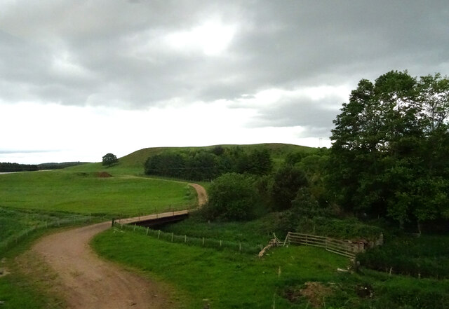
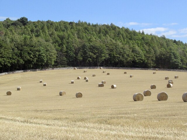
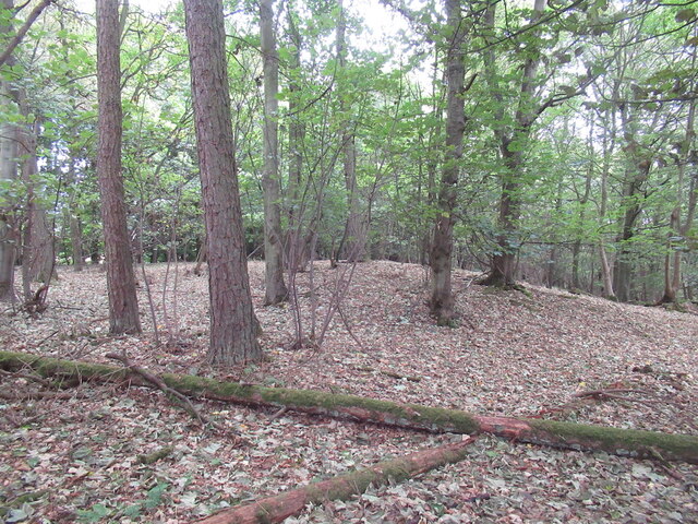
Morendy Wood is a picturesque woodland area located in Fife, Scotland. Covering an area of approximately 100 acres, it is nestled on the southern slopes of the Lomond Hills, offering a natural haven for outdoor enthusiasts and nature lovers alike.
The wood is characterized by its diverse range of tree species, including oak, birch, beech, and pine, which create a rich and vibrant ecosystem. The dense vegetation provides a habitat for various wildlife, such as red squirrels, roe deer, and a variety of bird species, making it a popular spot for birdwatching and wildlife spotting.
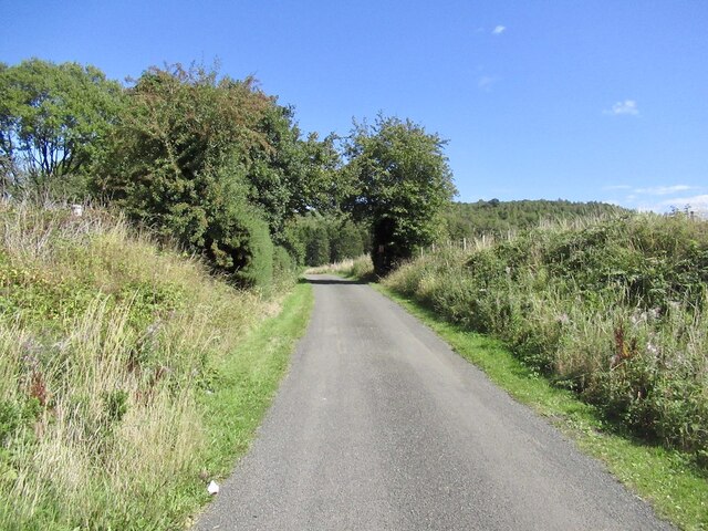
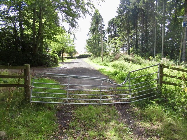
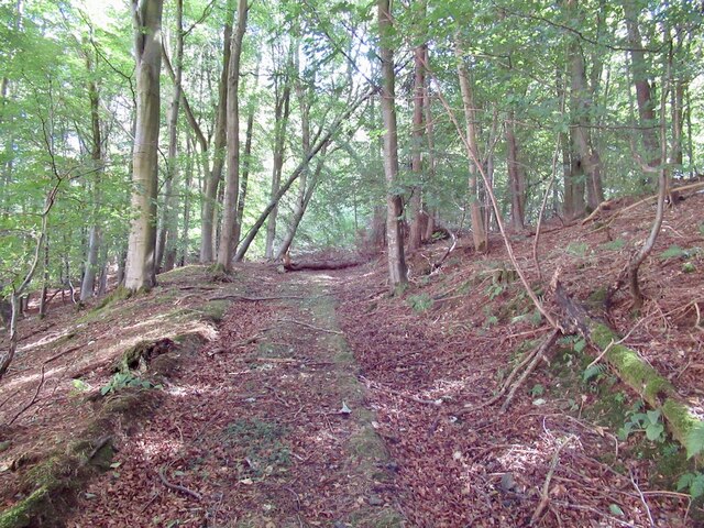
The wood is easily accessible, with well-maintained paths and trails that wind through the forest, allowing visitors to explore and enjoy its natural beauty. These paths are suitable for walkers of all abilities, offering both short leisurely strolls and longer, more challenging hikes.
Morendy Wood also offers several picnic areas, making it an ideal destination for families and groups looking to enjoy a day out in nature. The peaceful atmosphere and stunning scenery provide a perfect backdrop for relaxation and unwinding.
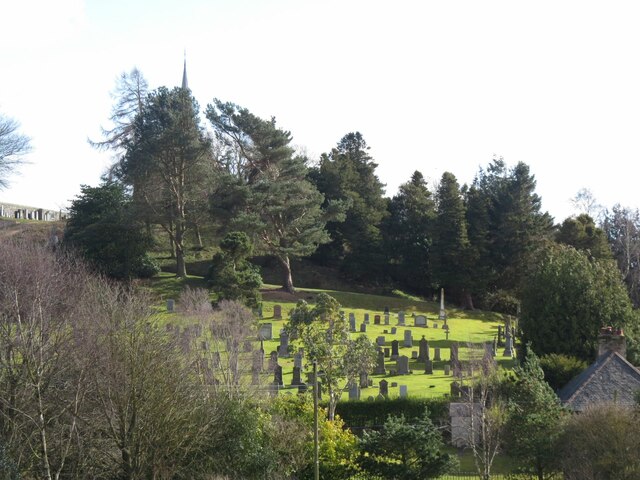
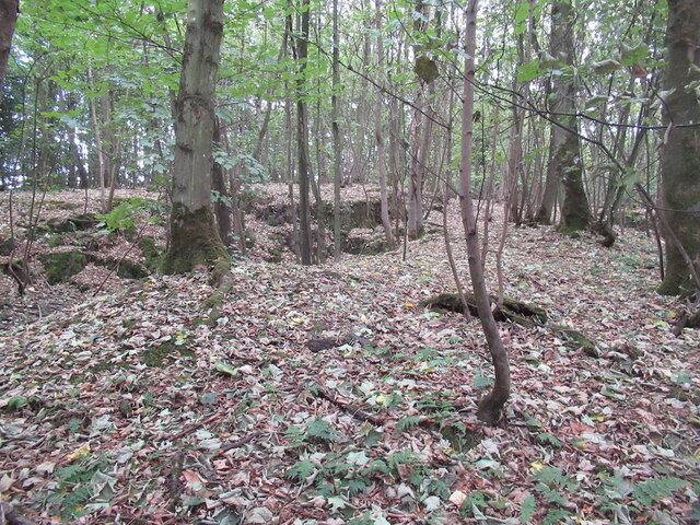
In addition to its natural beauty, Morendy Wood holds historical significance. The ruins of the 16th-century Morendy Castle can be found within the woodland, adding a touch of intrigue and enchantment to the area.
Overall, Morendy Wood is a captivating forest that offers a peaceful retreat from the hustle and bustle of everyday life. Its natural beauty, diverse wildlife, and accessibility make it a popular destination for outdoor enthusiasts and nature lovers in Fife.
If you have any feedback on the listing, please let us know in the comments section below.
Morendy Wood Images
Images are sourced within 2km of 56.411753/-2.9311027 or Grid Reference NO4224. Thanks to Geograph Open Source API. All images are credited.


Morendy Wood is located at Grid Ref: NO4224 (Lat: 56.411753, Lng: -2.9311027)
Unitary Authority: Fife
Police Authority: Fife
What 3 Words
///danger.elections.imitate. Near Newport-on-Tay, Fife
Nearby Locations
Related Wikis
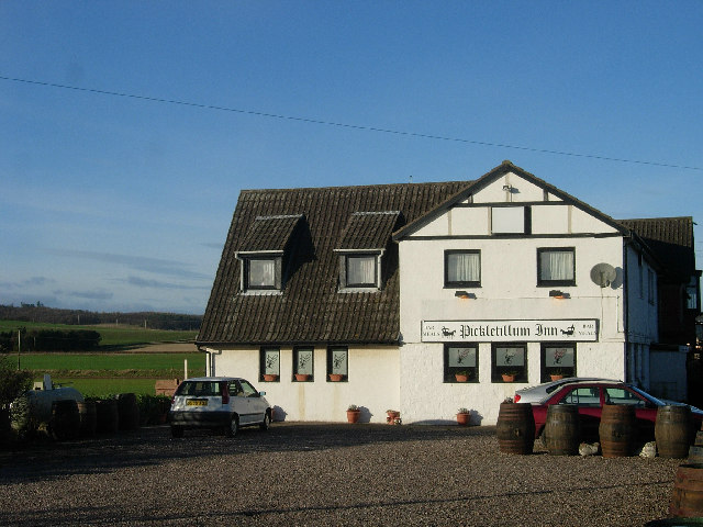
Pickletillum
Pickletillem or Pickletillum is a hamlet situated in Fife, Scotland. It is 9 miles (14 km) from the town of St. Andrews and 5.9 miles (9.5 km) from the...

Forgan (Fife)
Forgan is a civil parish in the Scottish county of Fife. It extends 4 miles in length along the north coast of Fife and is at the southern mouth of the...

Lady Leng Memorial Chapel
Lady Leng Memorial Chapel (also known as Vicarsford Cemetery Chapel) is a church building in Leuchars, Fife, Scotland. Built between 1895 and 1897, to...

St Fort
St Fort (, , or ) is a rural area, largely in Forgan parish, Fife. The current form of the name is late eighteenth century, the origin being a sandy ford...
St Fort railway station
St. Fort railway station served the civil parish of Forgan, Fife, Scotland from 1878 to 1965 on the Tay Bridge Line and Newburgh and North Fife Railway...
Newport-on-Tay West railway station
Newport-on-Tay West railway station served the town of Newport-on-Tay, Fife, Scotland, from 1879 to 1969 on the Newport Railway. == History == The station...
Lucklawhill
Lucklawhill is a hamlet one mile (1.6 km) northwest of the village of Balmullo in Fife, Scotland. Historically, Lucklawhill belonged to the Logie parish...

Woodhaven, Fife
Woodhaven used to be a small village between Newport-on-Tay and Wormit in Fife, Scotland. Due to expansion of these two villages over the years, it is...
Nearby Amenities
Located within 500m of 56.411753,-2.9311027Have you been to Morendy Wood?
Leave your review of Morendy Wood below (or comments, questions and feedback).