Cuthill Wood
Wood, Forest in Banffshire
Scotland
Cuthill Wood
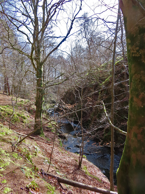
Cuthill Wood, located in Banffshire, Scotland, is a picturesque forest known for its natural beauty and rich biodiversity. Covering an area of approximately 100 hectares, it is a popular destination for nature enthusiasts and hikers alike.
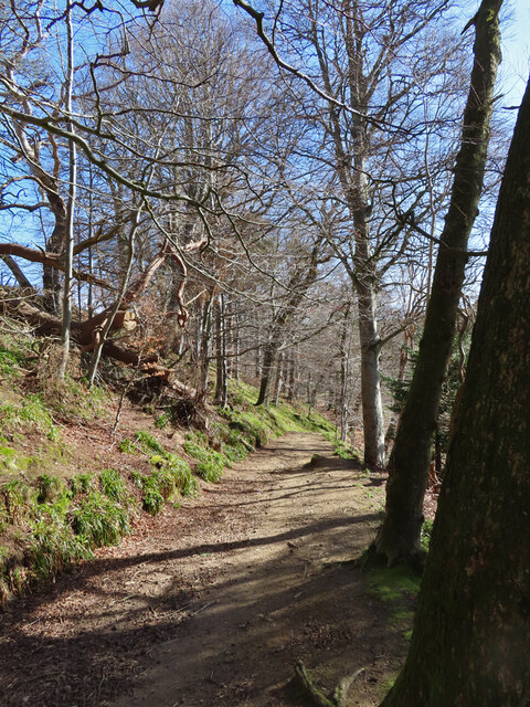
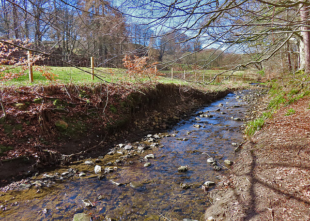
The wood is predominantly made up of native broadleaf trees, including birch, oak, and beech, which create a stunning canopy that changes color throughout the seasons. The diverse range of flora and fauna found within the wood makes it a haven for wildlife. Visitors may spot roe deer, red squirrels, and a variety of bird species such as woodpeckers and owls.
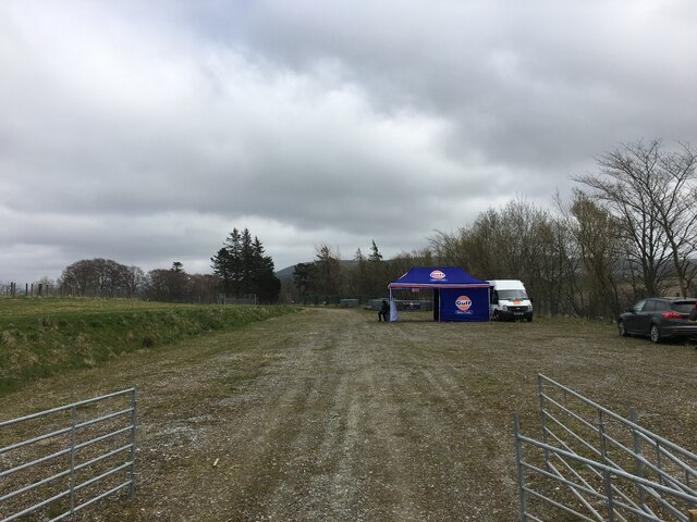
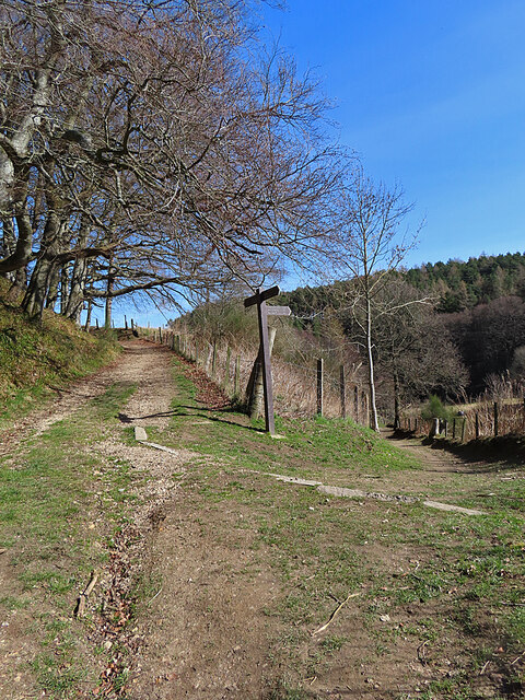
Cuthill Wood is crisscrossed with a network of well-maintained trails, offering visitors the opportunity to explore its natural wonders. The trails are marked with signposts and provide different levels of difficulty, suitable for all ages and fitness levels. Along the way, walkers can enjoy the peaceful ambiance while listening to the sounds of nature.
The wood also boasts several picnic areas, allowing visitors to relax and enjoy a meal amidst the tranquil surroundings. For those interested in further exploration, there are nearby attractions, such as the picturesque village of Aberchirder and the historic Duff House, which is home to an art gallery.
Cuthill Wood is not just a place of natural beauty, but also plays an essential role in conservation efforts. The wood is managed sustainably, ensuring the preservation of its unique ecosystem for future generations to enjoy.
In conclusion, Cuthill Wood in Banffshire offers an idyllic setting for nature lovers, providing a peaceful retreat amidst its diverse flora and fauna. Whether exploring the trails, enjoying a picnic, or simply immersing oneself in the beauty of the surroundings, this forest is a must-visit destination for anyone seeking solace in nature.
If you have any feedback on the listing, please let us know in the comments section below.
Cuthill Wood Images
Images are sourced within 2km of 57.537524/-2.9597993 or Grid Reference NJ4250. Thanks to Geograph Open Source API. All images are credited.


Cuthill Wood is located at Grid Ref: NJ4250 (Lat: 57.537524, Lng: -2.9597993)
Unitary Authority: Moray
Police Authority: North East
What 3 Words
///rock.wheat.reverted. Near Keith, Moray
Nearby Locations
Related Wikis

Strathmill distillery
Strathmill distillery is one of three distilleries within the Moray town of Keith at the heart of "Malt Whisky Country". Unlike Keith's other two distilleries...

St Thomas's Church, Keith
St Thomas's Church is a Roman Catholic church in Keith, in Moray, Scotland. It is a cruciform building, exhibiting features of neoclassical and baroque...

Turner Memorial Hospital
Turner Memorial Hospital is a community hospital in Keith, Morayshire, Scotland. It is administered by NHS Grampian. == History == The hospital was financed...

Keith Old Bridge
Keith Old Bridge, also known as Keith Auld Brig, is a bridge over the River Isla in Keith in Moray, Scotland. Built in 1609, it is the oldest surviving...
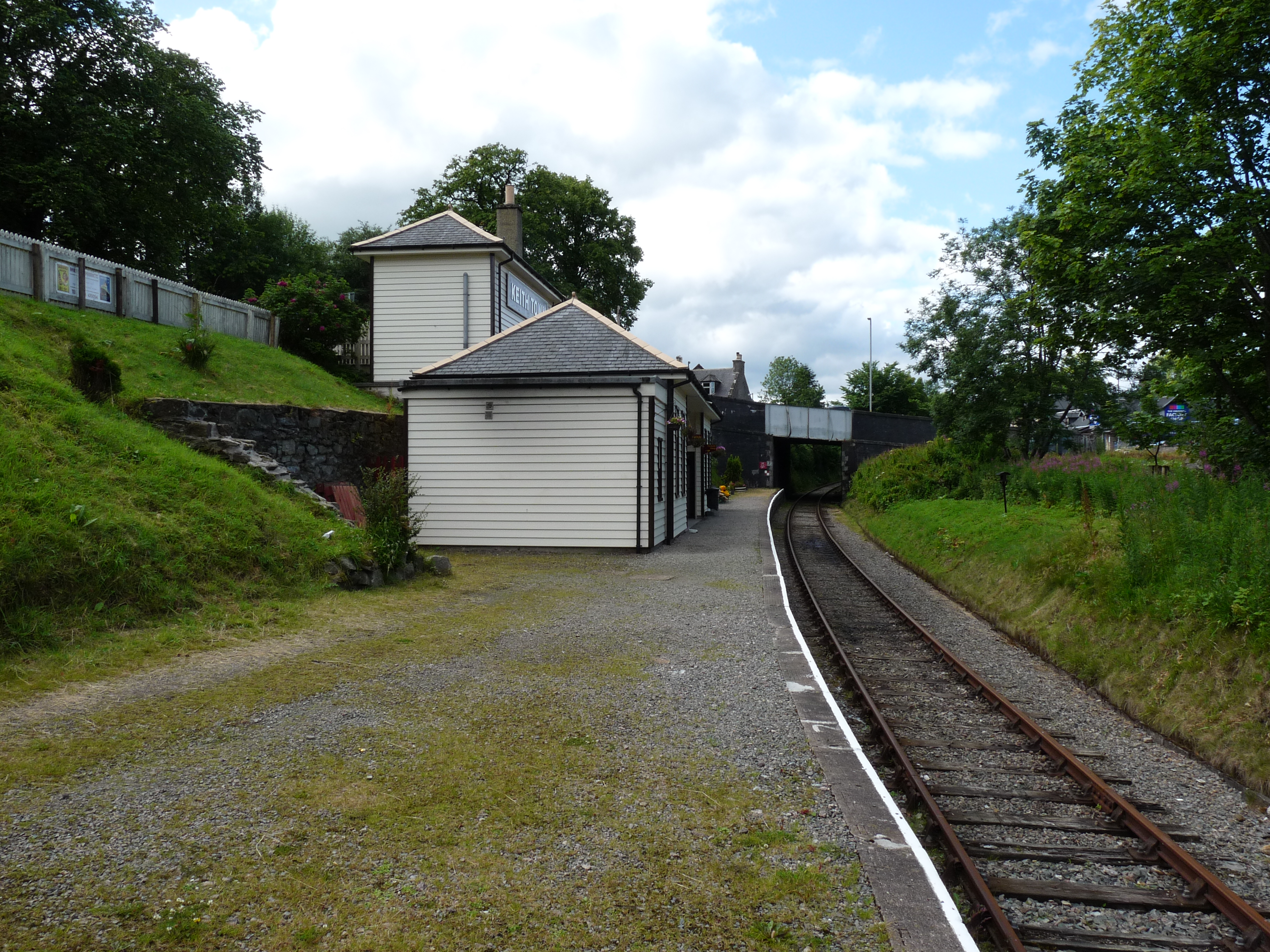
Keith Town railway station
Keith Town railway station serves the town of Keith, Moray on the Keith and Dufftown Railway. == History == The station opened as Earlsmill on 21 February...

Keith, Moray
Keith (Scottish Gaelic: Baile Chèith, or Cèith Mhaol Rubha (archaic)) is a small town in the Moray council area in north east Scotland. It has a population...
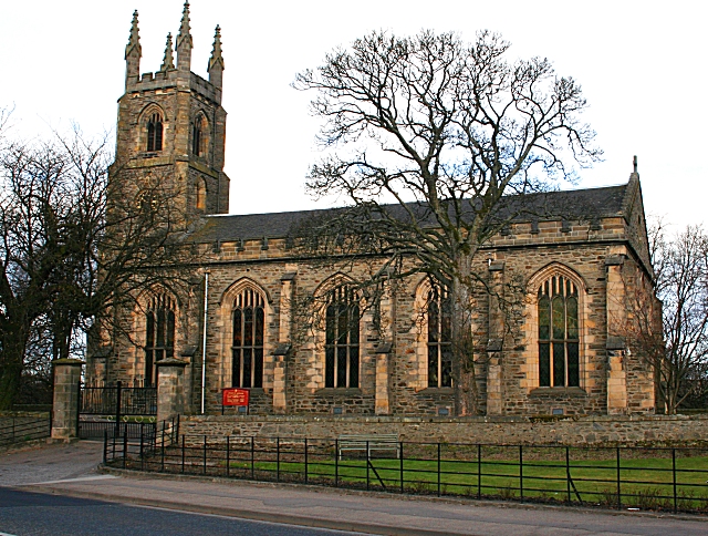
St Rufus Church
St Rufus Church, also known as Keith Parish Church, is a Church of Scotland church in Keith, Moray, that was built in 1816. Designed by James Gillespie...
Union Street drill hall, Keith, Moray
The Union Street drill hall is a military installation in Keith, Scotland. == History == The building was designed as the headquarters of the 6th (Banff...
Nearby Amenities
Located within 500m of 57.537524,-2.9597993Have you been to Cuthill Wood?
Leave your review of Cuthill Wood below (or comments, questions and feedback).