Cicelyford
Settlement in Monmouthshire
Wales
Cicelyford

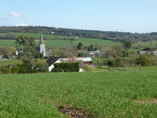
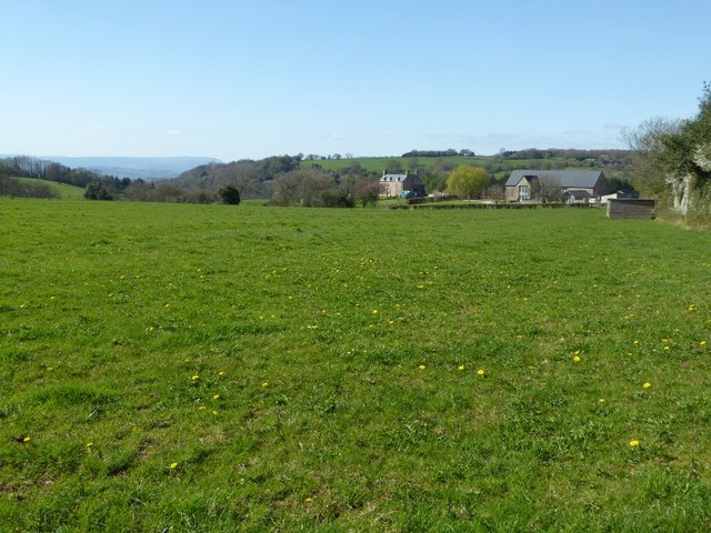
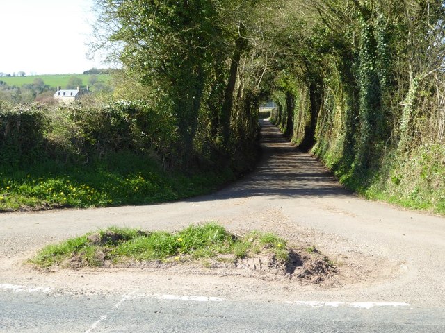
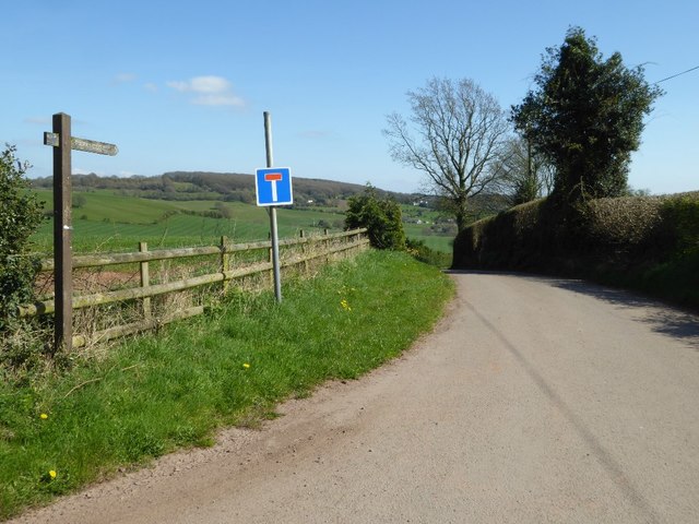
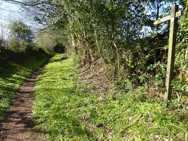
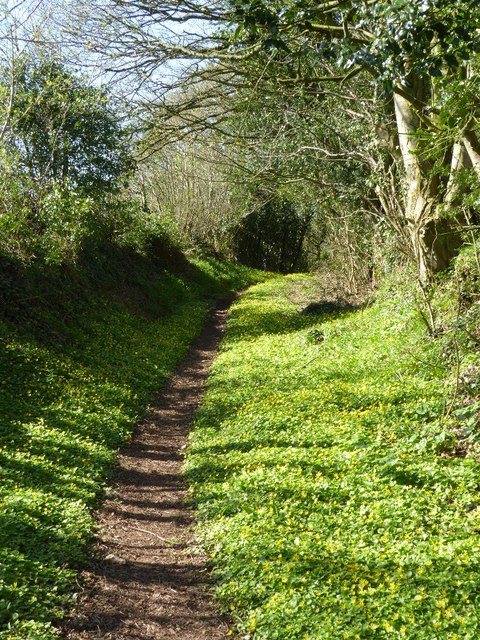
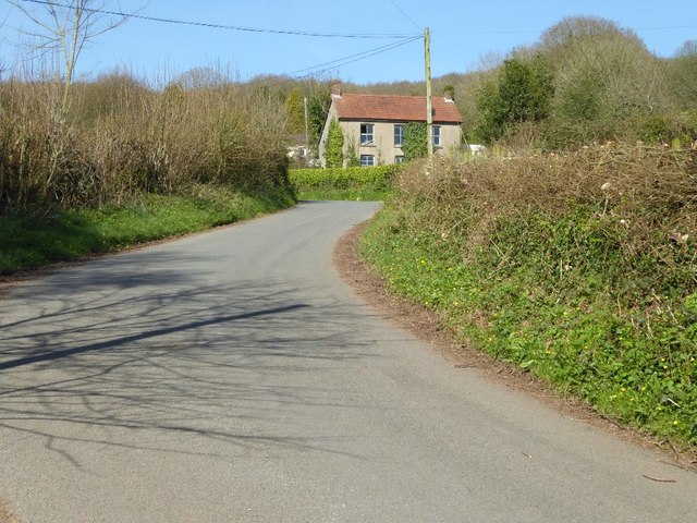
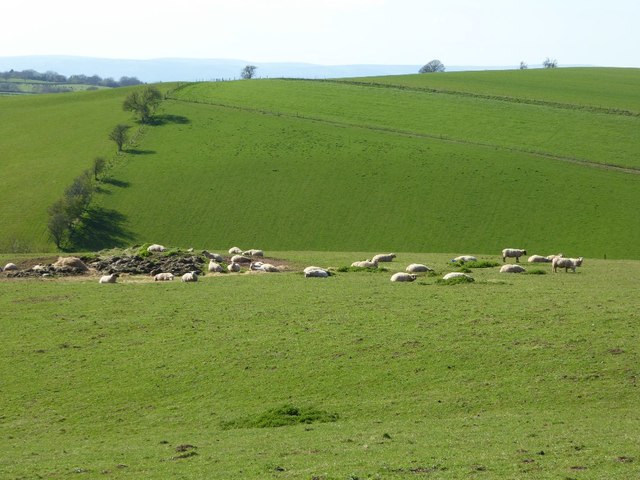
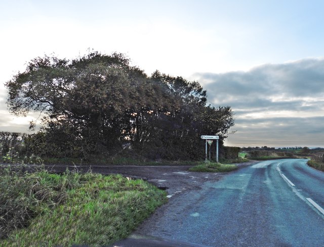
Cicelyford is a small village situated in the county of Monmouthshire, Wales. It is located in the southeastern part of the county, near the border with England. The village is nestled in a picturesque valley, surrounded by rolling hills and lush green countryside.
With a population of around 500 residents, Cicelyford has a close-knit community that takes pride in its rural heritage. The village is known for its charming stone cottages, many of which date back several centuries. These traditional houses add to the village's historic character and attract tourists who are looking for a glimpse into the past.
Despite its small size, Cicelyford offers a range of amenities for its residents. The village has a local pub, a village hall, and a post office. Additionally, there is a primary school that serves the surrounding area, ensuring that families have access to education within the village.
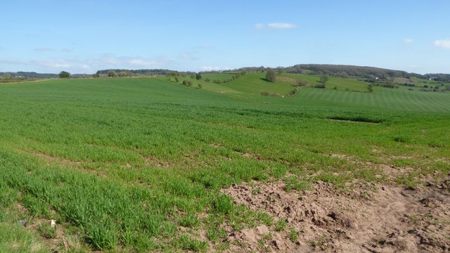
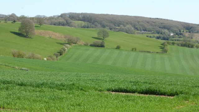
Cicelyford is also fortunate to be surrounded by stunning natural beauty. The village is situated near the scenic Wye Valley, an Area of Outstanding Natural Beauty. This provides residents and visitors with ample opportunities for outdoor activities such as hiking, cycling, and fishing.
Overall, Cicelyford is a charming village that offers a peaceful and idyllic lifestyle. Its rich history, beautiful countryside, and close community make it an attractive place to live or visit for those seeking a quintessentially Welsh experience.
If you have any feedback on the listing, please let us know in the comments section below.
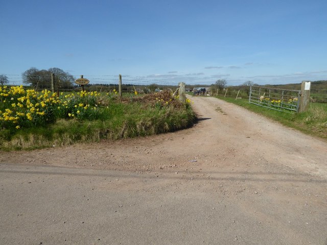
Cicelyford Images
Images are sourced within 2km of 51.73074/-2.72193 or Grid Reference SO5003. Thanks to Geograph Open Source API. All images are credited.


Cicelyford is located at Grid Ref: SO5003 (Lat: 51.73074, Lng: -2.72193)
Unitary Authority: Monmouthshire
Police Authority: Gwent
Also known as: Ceciliford
What 3 Words
///assist.saving.boardroom. Near Tintern, Monmouthshire
Nearby Locations
Related Wikis

Cleddon Bog
Cleddon Bog (grid reference SO509039) is a bog in the vice-county of Monmouthshire which has been notified as a biological Site of Special Scientific Interest...

Gaer hillfort, Trellech
Gaer hillfort (Welsh: Bryngaer Croes Trelech) is a Celtic Iron Age hillfort near Trellech in Monmouthshire, Wales (grid reference SO492037). This fort...

Trellech United
Trellech United is a community and electoral ward in the county of Monmouthshire, Wales. It lies south of the county town of Monmouth next to the Wales...

Catbrook
Catbrook (Welsh: Catffrwd) is a village in Monmouthshire, south east Wales, United Kingdom. The population in 2011 was 412. == Location == Catbrook is...

Cleddon Hall
Cleddon Hall, formerly known as Ravenscroft, is a 19th-century Victorian country house in Trellech, Monmouthshire, Wales. In the later 19th century it...

Trellech
Trellech (occasionally spelt Trelech, Treleck or Trelleck; Welsh: Tryleg) is a village and parish in Monmouthshire, south-east Wales. Located 5 miles...

Hygga House Dovecote, Trellech
The Dovecote, Hygga, Trellech, Monmouthshire is a late 16th-century dovecote, in an unusually complete state of preservation. Part of the service buildings...

Cross at Croes Llwyd Farm, Raglan
The Cross at Croes Llwyd Farm, Raglan, Monmouthshire is a medieval cross which indicated a boundary of the Lordship of Raglan. As a rare medieval survival...
Nearby Amenities
Located within 500m of 51.73074,-2.72193Have you been to Cicelyford?
Leave your review of Cicelyford below (or comments, questions and feedback).