Ceciliford
Settlement in Monmouthshire
Wales
Ceciliford

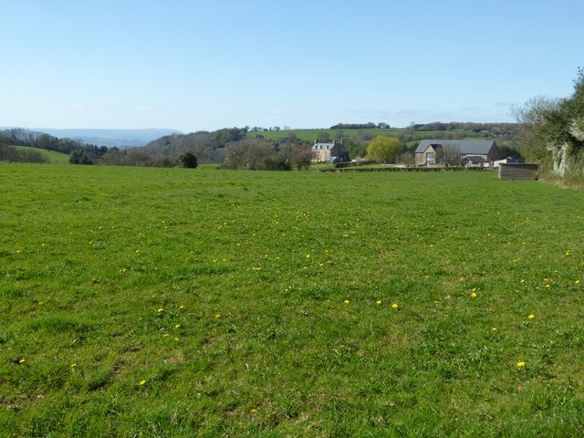
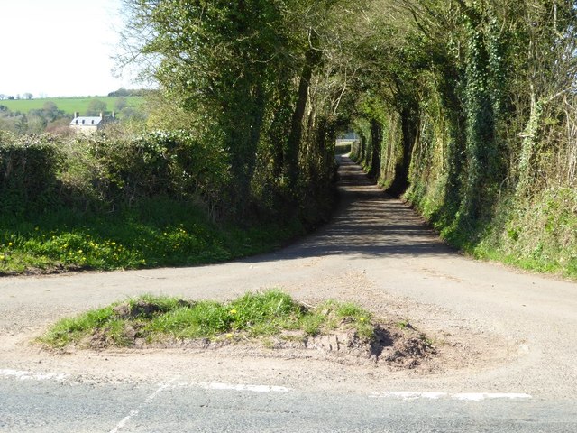
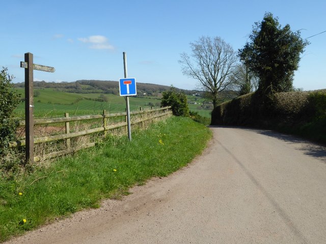
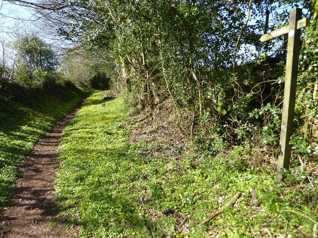
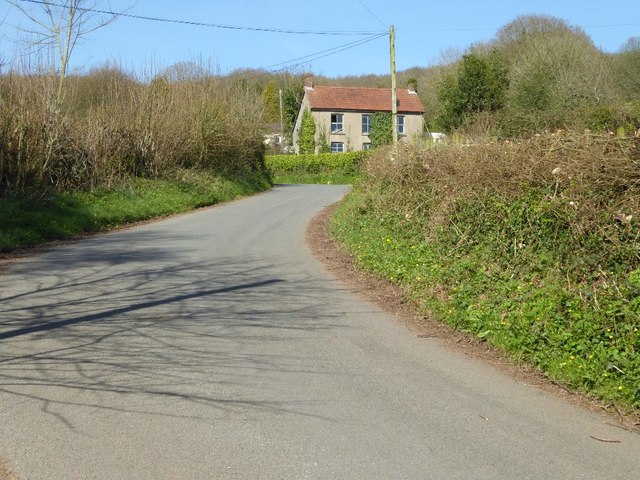
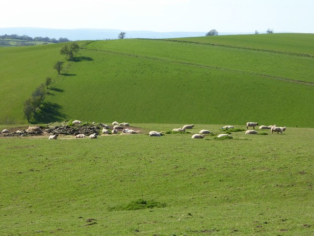
Ceciliford is a small village located in the county of Monmouthshire, Wales. Nestled in the picturesque landscape of the Usk Valley, it is surrounded by rolling hills and lush greenery. With a population of around 500, Ceciliford exudes a quaint and tight-knit community atmosphere.
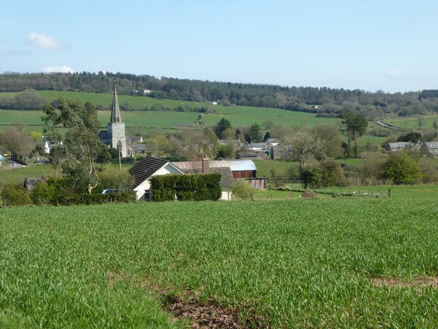
The village dates back to medieval times and is steeped in history. Its charming streets are lined with traditional stone cottages, some of which have been lovingly preserved for centuries. Ceciliford is known for its well-preserved 12th-century church, St. Mary's, which stands proudly at the heart of the village. Its architectural beauty and historical significance attract visitors from far and wide.
Despite its small size, Ceciliford offers a range of amenities to its residents. The village boasts a local pub, The Crown Inn, where locals and visitors gather to enjoy a pint and engage in friendly conversations. Additionally, there is a village hall which hosts various community events throughout the year, including fairs, concerts, and social gatherings.
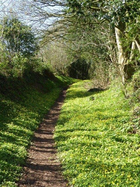
The surrounding countryside provides ample opportunities for outdoor activities. Ceciliford is a popular destination for hikers and nature enthusiasts, with numerous trails and paths to explore. The nearby rivers and lakes also offer fishing and boating opportunities, adding to the village's natural charm.
Overall, Ceciliford is a tranquil and idyllic village, offering a peaceful retreat from the bustling city life. Its rich history, community spirit, and stunning surroundings make it a hidden gem in Monmouthshire's rural landscape.
If you have any feedback on the listing, please let us know in the comments section below.
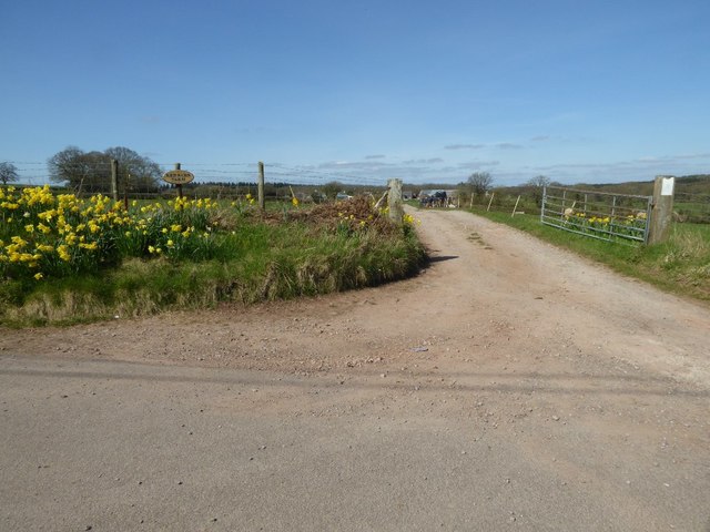
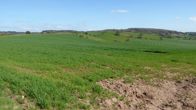
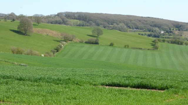
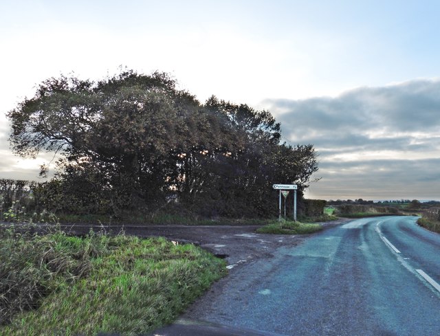
Ceciliford Images
Images are sourced within 2km of 51.73074/-2.72193 or Grid Reference SO5003. Thanks to Geograph Open Source API. All images are credited.


Ceciliford is located at Grid Ref: SO5003 (Lat: 51.73074, Lng: -2.72193)
Unitary Authority: Monmouthshire
Police Authority: Gwent
Also known as: Cicelyford
What 3 Words
///assist.saving.boardroom. Near Tintern, Monmouthshire
Nearby Locations
Related Wikis

Cleddon Bog
Cleddon Bog (grid reference SO509039) is a bog in the vice-county of Monmouthshire which has been notified as a biological Site of Special Scientific Interest...

Gaer hillfort, Trellech
Gaer hillfort (Welsh: Bryngaer Croes Trelech) is a Celtic Iron Age hillfort near Trellech in Monmouthshire, Wales (grid reference SO492037). This fort...

Trellech United
Trellech United is a community and electoral ward in the county of Monmouthshire, Wales. It lies south of the county town of Monmouth next to the Wales...

Catbrook
Catbrook (Welsh: Catffrwd) is a village in Monmouthshire, south east Wales, United Kingdom. The population in 2011 was 412. == Location == Catbrook is...

Cleddon Hall
Cleddon Hall, formerly known as Ravenscroft, is a 19th-century Victorian country house in Trellech, Monmouthshire, Wales. In the later 19th century it...

Trellech
Trellech (occasionally spelt Trelech, Treleck or Trelleck; Welsh: Tryleg) is a village and parish in Monmouthshire, south-east Wales. Located 5 miles...

Hygga House Dovecote, Trellech
The Dovecote, Hygga, Trellech, Monmouthshire is a late 16th-century dovecote, in an unusually complete state of preservation. Part of the service buildings...

Cross at Croes Llwyd Farm, Raglan
The Cross at Croes Llwyd Farm, Raglan, Monmouthshire is a medieval cross which indicated a boundary of the Lordship of Raglan. As a rare medieval survival...
Related Videos
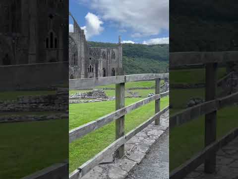
Tintern Abbey #travel #wyevalley #hiking #forest #adventure
Tintern abbey.


The Ruins of Tintern Abbey
Come walk with us through the ruins of Tintern Abbey, where flowers carpet the grounds of what was once a grand building.

Nearby Amenities
Located within 500m of 51.73074,-2.72193Have you been to Ceciliford?
Leave your review of Ceciliford below (or comments, questions and feedback).