Blackhall Wood

Wood, Forest in Dumfriesshire

Scotland

Blackhall Wood

The road to Unthank  A strange name, possibly referring to a pre-7th century Olde English word 'unpance' which means literally 'without leave', and described an area of land which was occupied unlawfully <span class="nowrap"><a title="https://www.surnamedb.com/Surname/Unthank?msclkid=da5aaca9c63011eca7a6b47f6256a149" rel="nofollow ugc noopener" href="https://www.surnamedb.com/Surname/Unthank?msclkid=da5aaca9c63011eca7a6b47f6256a149">Link</a><img style="margin-left:2px;" alt="External link" title="External link - shift click to open in new window" src="https://s1.geograph.org.uk/img/external.png" width="10" height="10"/></span>. Looking towards Pike Fell.
The road to Unthank Credit: M J Richardson

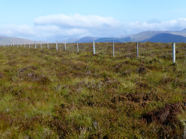
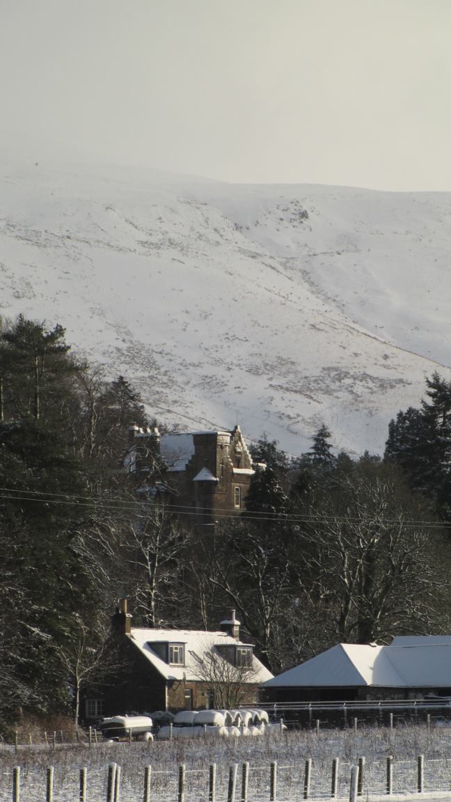
Blackhall Wood is a sprawling forest located in Dumfriesshire, Scotland. Covering an area of approximately 600 hectares, the wood is predominantly composed of native broadleaf trees such as oak, beech, and birch, as well as some areas of coniferous plantations. The forest is a popular destination for nature lovers, hikers, and birdwatchers, with a network of well-maintained trails and paths crisscrossing the wooded area.

Blackhall Wood is home to a diverse range of wildlife, including red squirrels, roe deer, and a variety of bird species. The forest is also known for its rich flora, with carpets of bluebells and other wildflowers gracing the forest floor in the spring and summer months.

Managed by the Forestry Commission, Blackhall Wood is a vital habitat for many species of plants and animals, and conservation efforts are in place to protect and preserve this important ecosystem. Visitors to the forest can enjoy peaceful walks, picnics, and wildlife spotting opportunities in this beautiful natural setting.

If you have any feedback on the listing, please let us know in the comments section below.

Blackhall Wood Images

Images are sourced within 2km of 55.249779/-2.9583898 or Grid Reference NY3995. Thanks to Geograph Open Source API. All images are credited.

The road to Unthank  A strange name, possibly referring to a pre-7th century Olde English word 'unpance' which means literally 'without leave', and described an area of land which was occupied unlawfully <span class="nowrap"><a title="https://www.surnamedb.com/Surname/Unthank?msclkid=da5aaca9c63011eca7a6b47f6256a149" rel="nofollow ugc noopener" href="https://www.surnamedb.com/Surname/Unthank?msclkid=da5aaca9c63011eca7a6b47f6256a149">Link</a><img style="margin-left:2px;" alt="External link" title="External link - shift click to open in new window" src="https://s1.geograph.org.uk/img/external.png" width="10" height="10"/></span>. Looking towards Pike Fell.
The road to Unthank
A strange name, possibly referring to a pre-7th century Olde English word 'unpance' which means literally 'without leave', and described an area of land which was occupied unlawfully LinkExternal link. Looking towards Pike Fell.
White Hill and Whitehill Wood Looking across the square from the Unthank farm road on the A7.
White Hill and Whitehill Wood
Looking across the square from the Unthank farm road on the A7.
Sykefoot and the A7 An isolated cottage on the A7, not far from the head of the Ewes Water.
Sykefoot and the A7
An isolated cottage on the A7, not far from the head of the Ewes Water.
A7 towards Hawick
A7 towards Hawick
Autumn leaves at Burnfoot On the road from Hermitage towards the A7.
Autumn leaves at Burnfoot
On the road from Hermitage towards the A7.
Burnfoot Cottage
Burnfoot Cottage
The high road to Hermitage Castle
Stibbiegill Head A view of the flattish moorland summit of Stibbiegill Head which has a fence running across it. Parked in layby then up steep slope to Dan's Hags, Frodaw Height, Pikethaw Hill then back to Dan's Hags before bagging Stibbiegill Head before returning back to the A7.
Name: Stibbiegill Head
Hill number: 13822
Height: 458m / 1503ft
Parent (Ma/M): 1920  Pikethaw Hill
Section: 28B: The River Tweed to the English Border
County/UA: Dumfries and Galloway (UA)
Class: Tump (400-499m)
Grid ref: NY375953 (est)
Drop: 33m
Col: 425m  NY377961
Stibbiegill Head
A view of the flattish moorland summit of Stibbiegill Head which has a fence running across it. Parked in layby then up steep slope to Dan's Hags, Frodaw Height, Pikethaw Hill then back to Dan's Hags before bagging Stibbiegill Head before returning back to the A7. Name: Stibbiegill Head Hill number: 13822 Height: 458m / 1503ft Parent (Ma/M): 1920 Pikethaw Hill Section: 28B: The River Tweed to the English Border County/UA: Dumfries and Galloway (UA) Class: Tump (400-499m) Grid ref: NY375953 (est) Drop: 33m Col: 425m NY377961
Glenrief On the Hermitage road out of Ewesdale.
Glenrief
On the Hermitage road out of Ewesdale.
View up Glen Reif Upper Ewes Water.
View up Glen Reif
Upper Ewes Water.
Carewoodrig Burn A headwater of the Ewes Water.
Carewoodrig Burn
A headwater of the Ewes Water.
Fiddleton The road from Hermitage Castle meets the A7.
Fiddleton
The road from Hermitage Castle meets the A7.
Field, Fiddleton The power line follows the A7 over the pass at Mosspaul to Teviotdale.
Field, Fiddleton
The power line follows the A7 over the pass at Mosspaul to Teviotdale.
A7, Ewes Water The Langholm to Carlisle road passes Fiddleton and the turn off for Hermitage Castle.  This is shortly before the short climb to the watershed at Mosspaul.
A7, Ewes Water
The Langholm to Carlisle road passes Fiddleton and the turn off for Hermitage Castle. This is shortly before the short climb to the watershed at Mosspaul.
Haughs, Ewes Water Near the end of the flat floored part of the glen. A road goes through the gap on the left towards Billhope Hass and Hermitage Castle.
Haughs, Ewes Water
Near the end of the flat floored part of the glen. A road goes through the gap on the left towards Billhope Hass and Hermitage Castle.
A7, Ewes Water Heading north towards the sneaky low altitude crossing of the watershed at Mosspaul.  From here it appears that there is no easy way out.
A7, Ewes Water
Heading north towards the sneaky low altitude crossing of the watershed at Mosspaul. From here it appears that there is no easy way out.
Fiddleton Brae A quarry beside the A7.
Fiddleton Brae
A quarry beside the A7.
Haugh, Unthank Beside the Ewes Water. The woodland on Whitehill Wood is getting established after a clear fell and replanting a few years earlier.
Haugh, Unthank
Beside the Ewes Water. The woodland on Whitehill Wood is getting established after a clear fell and replanting a few years earlier.
Show me another place!

Blackhall Wood is located at Grid Ref: NY3995 (Lat: 55.249779, Lng: -2.9583898)

Unitary Authority: Dumfries and Galloway

Police Authority: Dumfries and Galloway

What 3 Words

///leaky.fetches.waking. Near Bentpath, Dumfries & Galloway

Related Wikis

Unthank, Dumfries and Galloway

Unthank is a village in Dumfries and Galloway, Scotland. == References == The geographic coordinates are from the Ordnance Survey.

Arkleton

Arkleton is a mansion and estate in the civil parish of Ewes, in Dumfries and Galloway, Scotland. Arkleton House was built in 1860/1884 and incorporates...

Ewesdale

Ewesdale is a glen and former lordship in Dumfries and Galloway, Scotland. The Ewes Water runs through the valley from its source at Mosspaul, until it...

Cauldcleuch Head

Cauldcleuch Head is a hill in an unnamed range of Roxburghshire hills north of Langholm, part of the Southern Uplands of Scotland. The highest hill in...

Nearby Amenities

Located within 500m of 55.249779,-2.9583898
Power: tower
Lat/Long: 55.2526401/-2.962244
Ford: yes
Lat/Long: 55.2527778/-2.9535334
Power: tower
Lat/Long: 55.2481144/-2.9650973
Power: tower
Lat/Long: 55.2504524/-2.9636233
Power: pole
Lat/Long: 55.2472323/-2.9637654
Power: pole
Lat/Long: 55.2479956/-2.9633612
Power: pole
Lat/Long: 55.2489203/-2.9628616
Power: pole
Lat/Long: 55.2498831/-2.9623956
Power: pole
Lat/Long: 55.2508254/-2.9618935
Power: pole
Lat/Long: 55.2515915/-2.9614866
Power: pole
Lat/Long: 55.2523488/-2.9610746
Power: pole
Lat/Long: 55.2530107/-2.9607399
Power: pole
Lat/Long: 55.2536608/-2.9603923
The data included in this document is from www.openstreetmap.org. The data is made available under ODbL.

Have you been to Blackhall Wood?

Leave your review of Blackhall Wood below (or comments, questions and feedback).