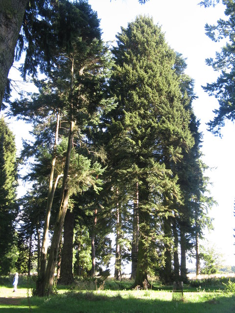
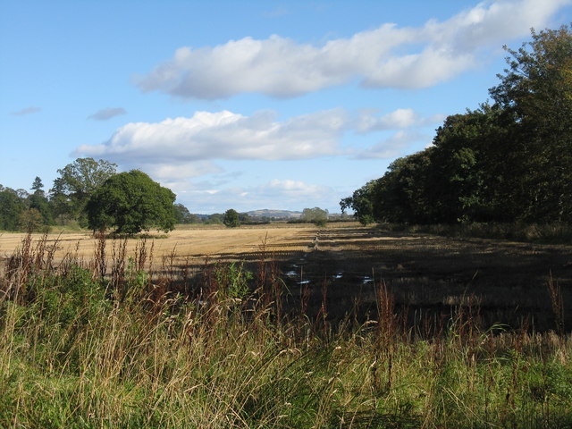
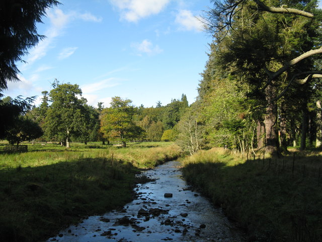
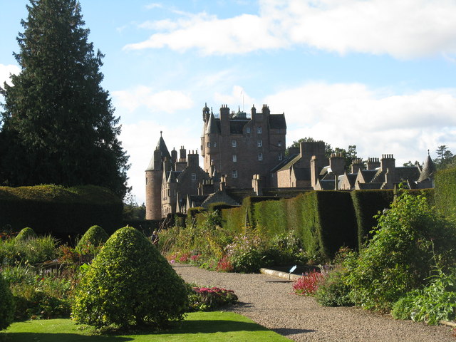
Bents Wood
Wood, Forest in Angus
Scotland
Bents Wood
The requested URL returned error: 429 Too Many Requests
If you have any feedback on the listing, please let us know in the comments section below.
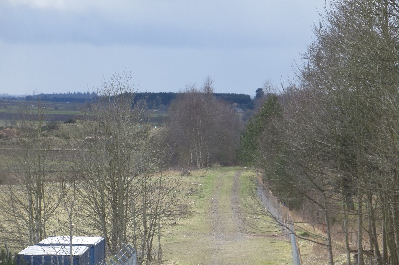
Bents Wood Images
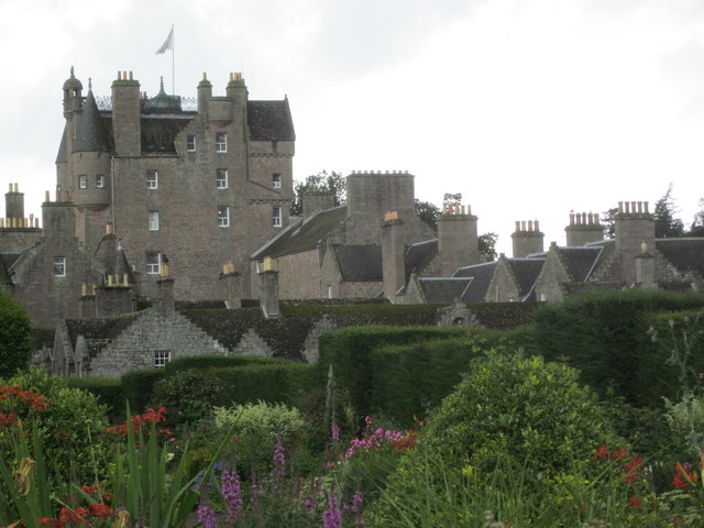
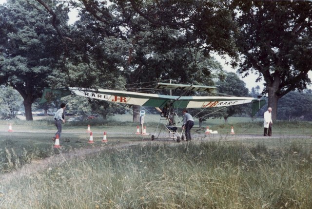
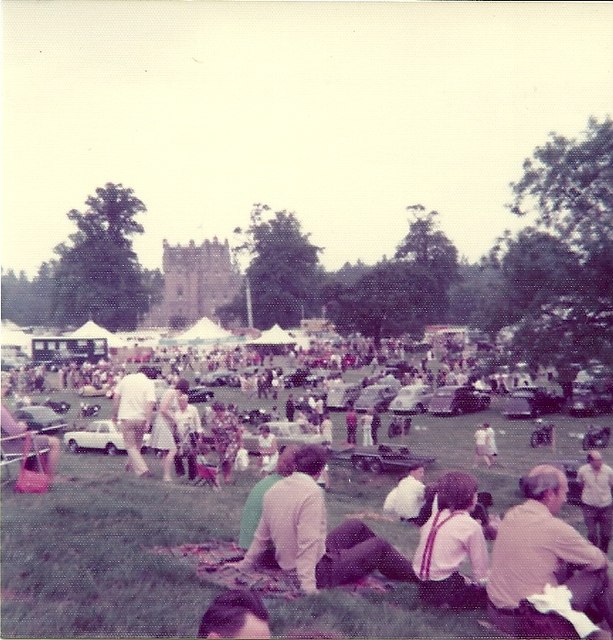
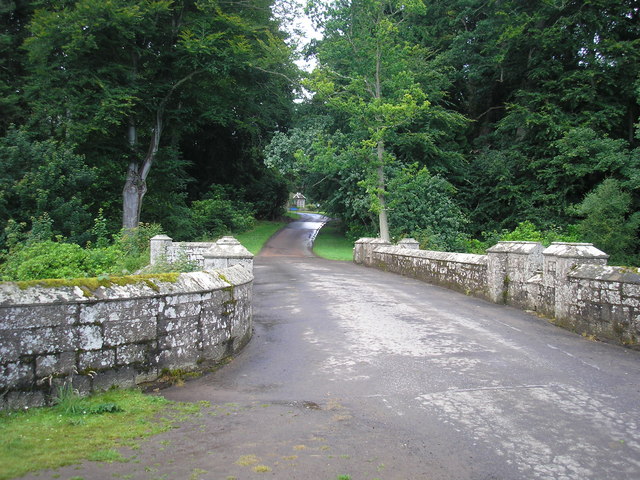
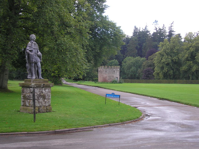
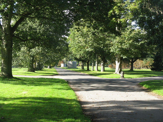
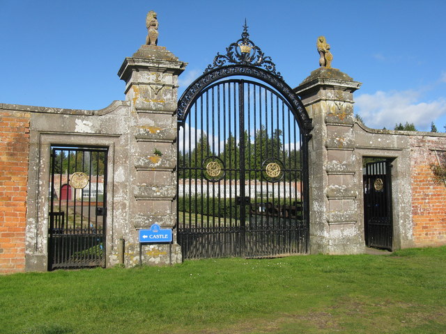
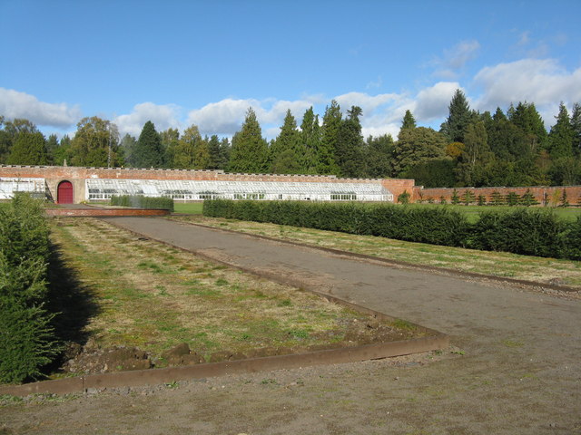
Images are sourced within 2km of 56.627796/-2.9932375 or Grid Reference NO3948. Thanks to Geograph Open Source API. All images are credited.


Bents Wood is located at Grid Ref: NO3948 (Lat: 56.627796, Lng: -2.9932375)
Unitary Authority: Angus
Police Authority: Tayside
What 3 Words
///desktop.orders.unsecured. Near Kirriemuir, Angus
Nearby Locations
Related Wikis

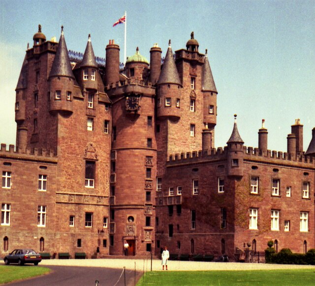
Scotland's Countryside Festival
Scotland's Countryside Festival is an annual two-day event which takes place at Glamis Castle, by Forfar.The festival originally came about in the wake...

St Orland's Stone
St Orland's Stone (otherwise known as the Cossans stone or the Cossins stone) is a Class II Pictish Cross-Slab at Cossans, near Kirriemuir and Forfar,...
Glamis railway station
Glamis railway station served the village of Glamis, Angus, Scotland, from 1838 to 1956 on the Newtyle, Eassie and Glamiss Railway. == History == The station...

Glamis Manse Stone
The Glamis Manse Stone, also known as Glamis 2, is a Class II Pictish stone at the village of Glamis, Angus, Scotland. Dating from the 9th century, it...
Nearby Amenities
Located within 500m of 56.627796,-2.9932375Have you been to Bents Wood?
Leave your review of Bents Wood below (or comments, questions and feedback).